The best mountain hikes around Lautenbach
4.5
(7)
26
hikers
10
hikes
Mountaineering around Lautenbach offers a variety of routes through the mountainous terrain of the Thann-Gebweiler region. The landscape is characterized by prominent peaks like Grand Ballon and Petit Ballon, providing elevated viewpoints and diverse trails. Routes often traverse forested areas, open mountain slopes, and high-altitude passes. The region features a mix of moderate and difficult mountaineering routes, with no easy options available.
Best mountaineering routes around Lautenbach
- The most popular mountaineering route is Grand Ballon – Panoramic view from the…
Last updated: July 9, 2026
5.0
(2)
7
hikers
Moderate mountaineering route. Great for any fitness level. Mostly accessible paths. Sure-footedness required.
3
hikers
13.9km
04:10
430m
430m
Moderate mountaineering route. Good fitness required. Easily-accessible paths. Suitable for all skill levels.

Sign up for free
3.0
(1)
4
hikers
14.7km
05:11
790m
790m
Hard mountaineering route. Very good fitness required. Mostly accessible paths. Sure-footedness required.
5.0
(3)
6
hikers
Moderate mountaineering route. Great for any fitness level. Mostly accessible paths. Sure-footedness required.
2
hikers
3.71km
01:22
200m
200m
Moderate mountaineering route. Great for any fitness level. Mostly accessible paths. Sure-footedness required.
Get access to more routes and recommendations from other explorers.
Sign up for free
Already have an account?
Our route recommendations are based on thousands of hikes, rides, and runs completed by other people on komoot.
Start today with a free account
Your next adventure awaits.
Login or Signup
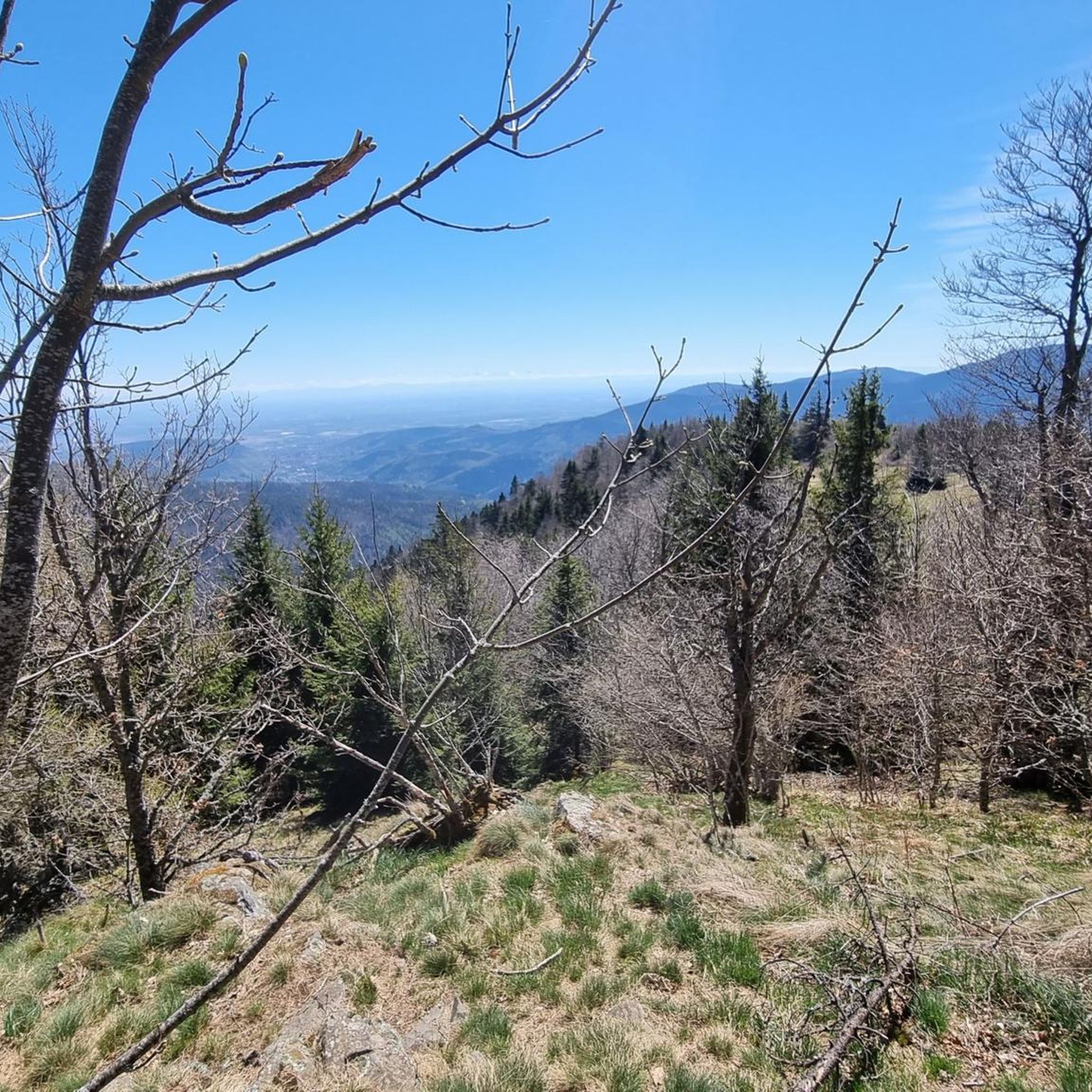
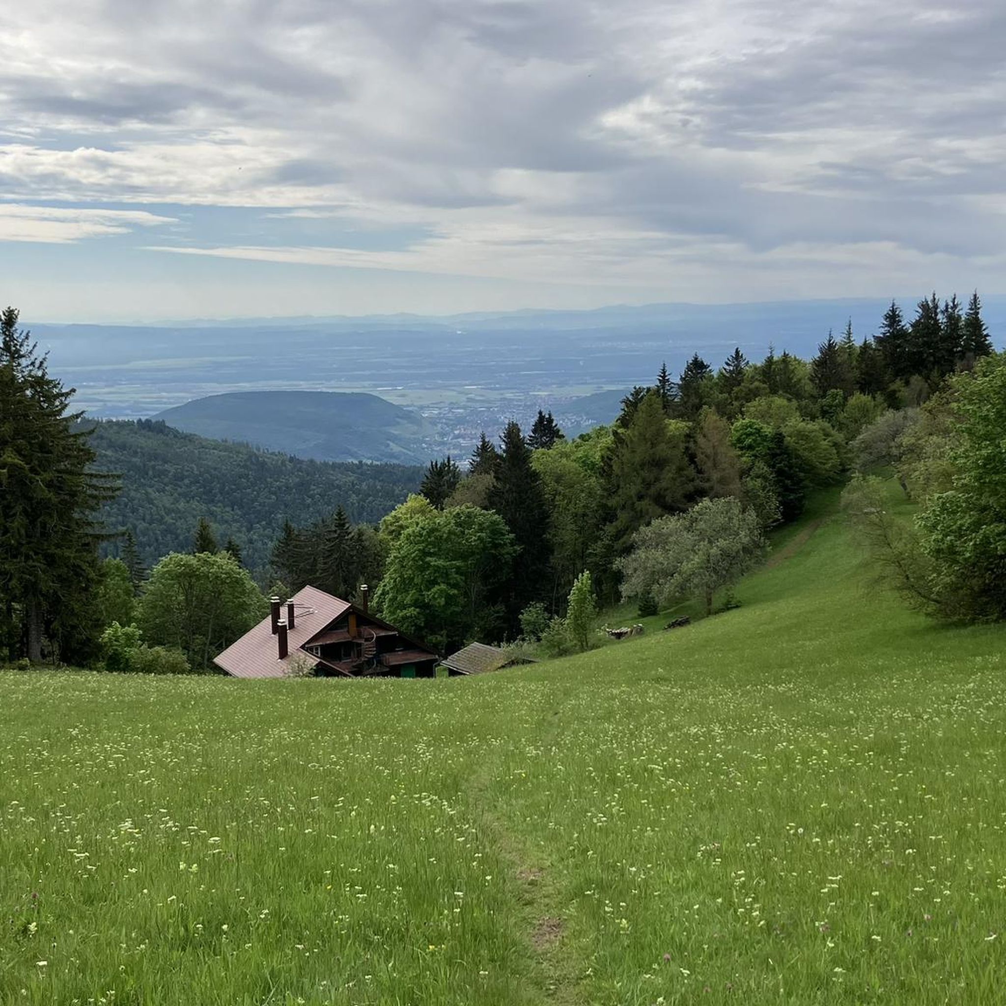
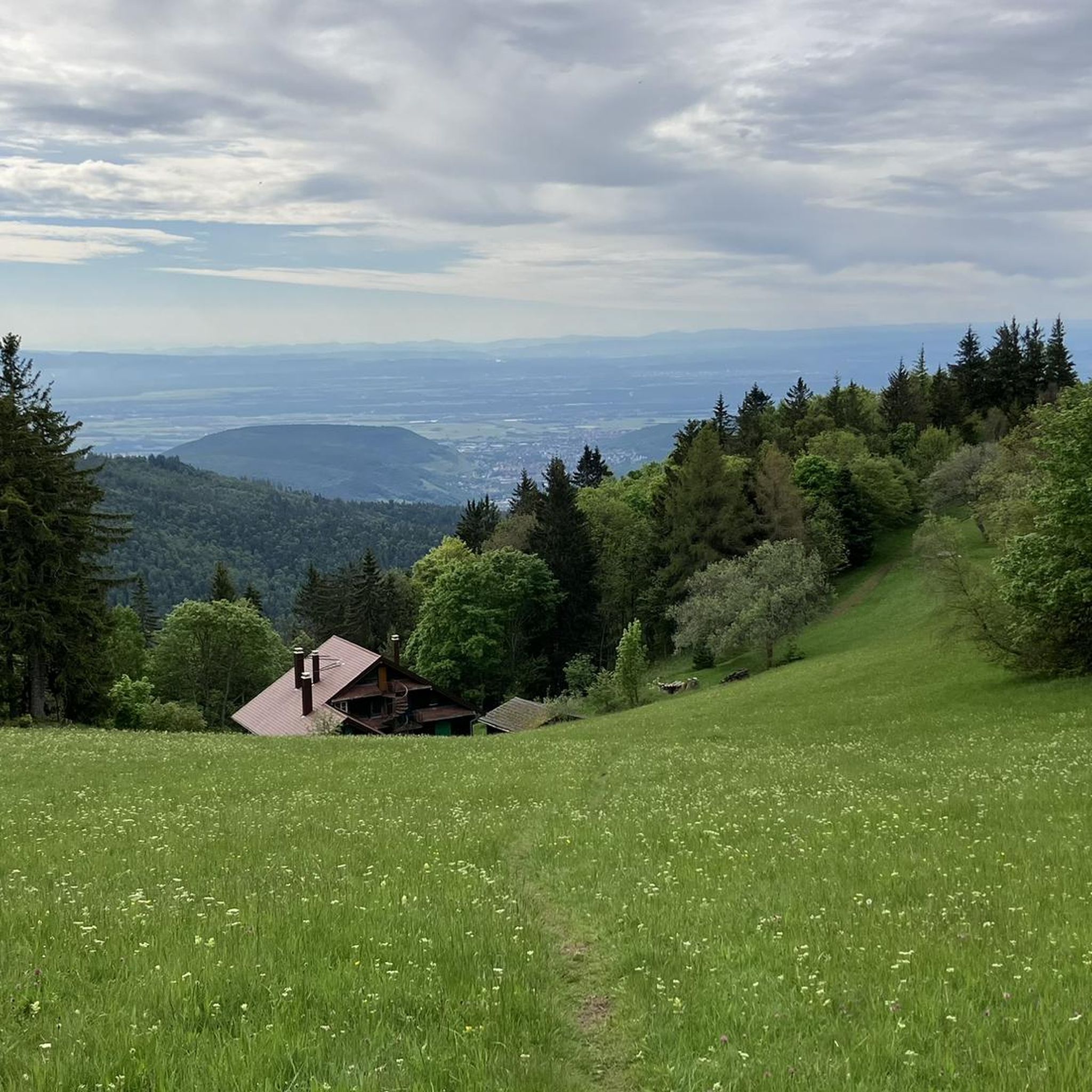
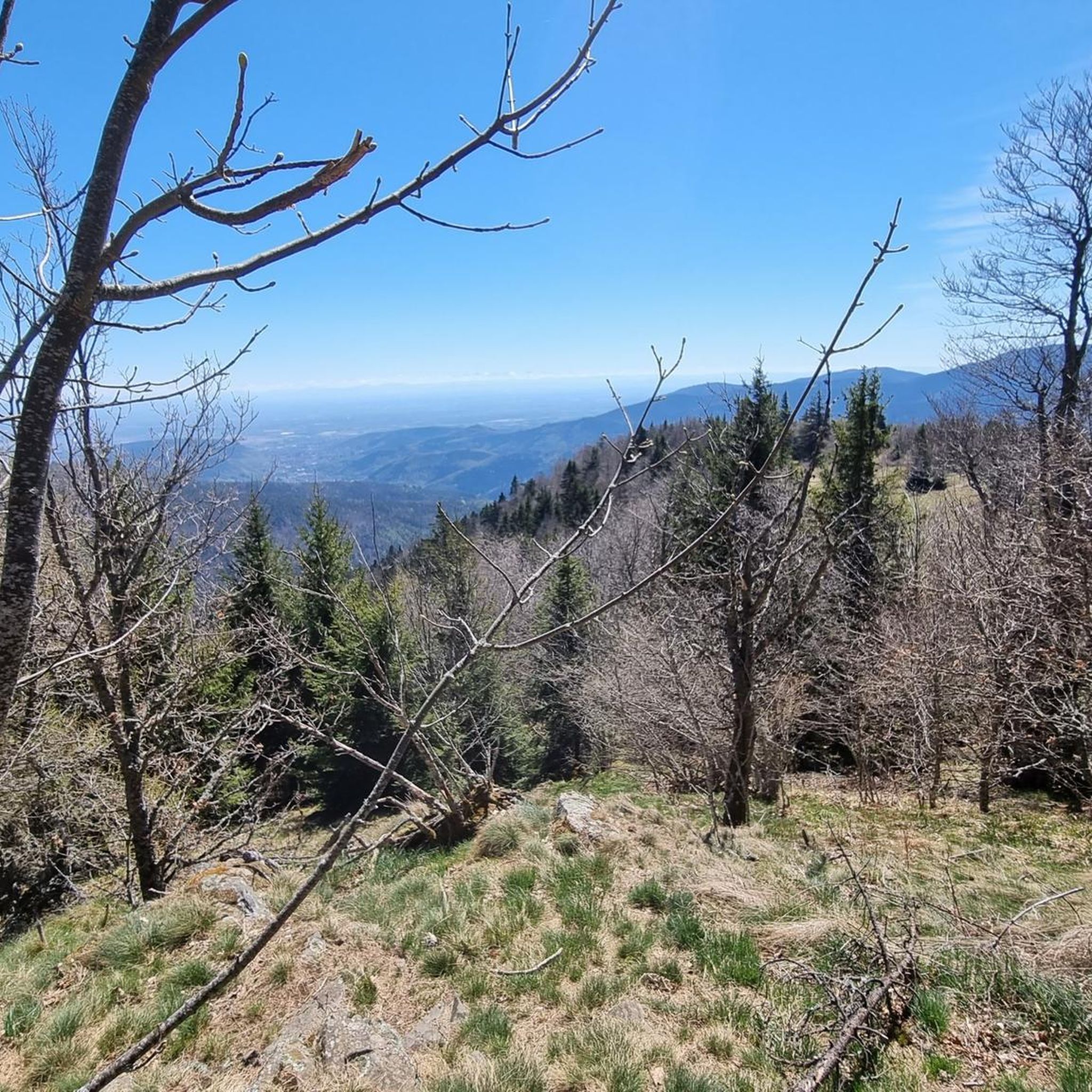
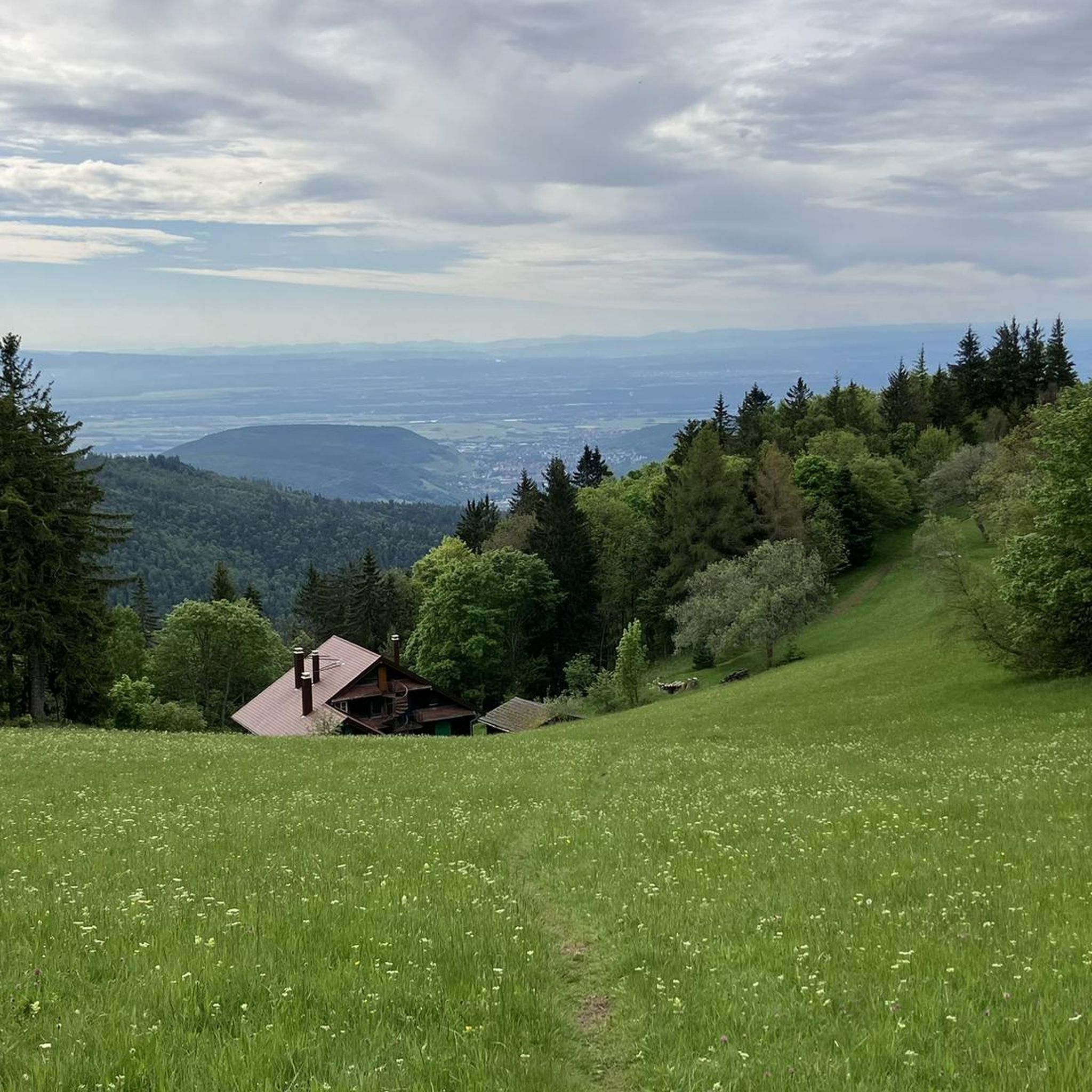
Tips from the Community

It is easier than it looks but with the heat everything was more difficult.
0
0
This refuge was heaven sent. By this moment, my water reserves were comletely depleted. The refuge provided exactly that: refuge. The carer was super friendly and helpful, giving me water and again, suggesting places of where to camp.
0
0
This is an amazing wild camping spot. I am sorry it didn't work for my trail but it is almost worth doing ti again just to sleep here...
0
0


The refuge volunteers are very warm. It is possible to eat your packed lunch provided you consume the drinks on sale. Their price is low. In addition, the view is magnificent.
0
0

Between December 1st and June 30th, the section of the GR532 connecting the Oberlauchen pass to the Lauchen pass via the Klintzkopf is prohibited. This is indeed an area where very fragile fauna, such as the capercaillie, has established itself. Controls are regularly carried out and the fine is steep. Therefore, prefer the forest road that also leads to the Lauchen pass!
1
0

The Vosges nature reserve remains beautiful.
0
0
Frequently Asked Questions
What is the typical duration and distance for mountaineering routes around Lautenbach?
Mountaineering routes in the Lautenbach area vary in length and time. For instance, the Markstein – Lake Lauch loop from Le Markstein is a moderate 8.6 miles (13.9 km) path that typically takes around 4 hours 10 minutes. Shorter options like the Grand Ballon – Panoramic view from the Grand Ballon summit loop from Grand Ballon cover about 2.2 miles (3.5 km) and can be completed in roughly 1 hour 25 minutes.
Are there any easy mountaineering routes suitable for beginners in Lautenbach?
The mountaineering routes around Lautenbach are generally characterized by moderate to difficult ability levels, with no easy options available. Even shorter routes often involve significant elevation changes and mountainous terrain. It's advisable for beginners to gain some experience on moderate trails before attempting these routes.
What are some challenging mountaineering routes in the Lautenbach region?
For those seeking a challenge, the Petit Ballon – Col du Hilsenfirst loop from Linthal is classified as difficult. This route spans 9 miles (14.5 km) and involves substantial elevation gain, typically requiring over 5 hours to complete.
What is the best season for mountaineering near Lautenbach?
The best season for mountaineering around Lautenbach is typically from late spring to early autumn (May to October). During these months, the weather is generally more stable, and trails are free of snow and ice, making for safer and more enjoyable conditions. Always check local weather forecasts before heading out.
Are there any circular mountaineering walks available in Lautenbach?
Yes, many routes in the Lautenbach area are designed as loops, allowing you to start and finish at the same point. Examples include the popular Grand Ballon – Panoramic view from the Grand Ballon summit loop from Col du Grand Ballon, which is a 2.5 miles (4.0 km) circular trail, and the longer Petit Ballon Pass (1,163 m) – Petit Ballon loop from Petit Ballon.
What kind of viewpoints can I expect on mountaineering trails around Lautenbach?
The mountaineering routes in Lautenbach offer spectacular panoramic views, especially from prominent peaks like Grand Ballon and Petit Ballon. Many trails lead to elevated points that provide expansive vistas of the surrounding mountainous landscape. For example, the Grand Ballon – Panoramic view from the Grand Ballon summit loop from Grand Ballon is specifically known for its summit views. You can also find highlights like View of the Grand Ballon along some routes.
What do other mountaineers enjoy most about the routes in Lautenbach?
The mountaineering routes in Lautenbach are highly rated by the komoot community, with an average score of 4.5 stars from 5 reviews. Reviewers often praise the diverse terrain, which includes forested areas, open mountain slopes, and high-altitude passes, as well as the rewarding panoramic summit views.
Are there any nearby attractions or points of interest to explore after a mountaineering trip?
Absolutely! The Lautenbach area is rich with natural and historical attractions. You can explore beautiful lakes such as Lake Lauch or Lac du Ballon. For history enthusiasts, there are several castles and ruins nearby, including the Ruins of Hohrupf Castle and Ruins of Freundstein Castle.
How many mountaineering routes are available in the Lautenbach area?
There are over 10 mountaineering routes documented around Lautenbach, offering a variety of experiences through the mountainous terrain of the Thann-Gebweiler region.
Are there any less crowded mountaineering options around Lautenbach?
While popular routes like those around Grand Ballon can see more visitors, exploring trails slightly off the main peaks or during off-peak hours (early mornings, weekdays) can offer a more tranquil experience. Routes leading to less prominent passes or through deeper forested sections might also provide more solitude.
Is public transport available to access mountaineering trailheads in Lautenbach?
Access to specific trailheads by public transport can be limited in mountainous regions. While Lautenbach itself may have some local bus services, reaching the starting points for many high-altitude mountaineering routes often requires personal vehicle access. It's recommended to check local bus schedules and connections to specific mountain passes or villages near your chosen trailhead.
Are there parking facilities available at the trailheads for mountaineering routes?
Parking is generally available at key starting points for mountaineering routes, such as at Col du Grand Ballon or Le Markstein. However, during peak season or busy weekends, these areas can fill up quickly. Arriving early is advisable to secure a spot, especially for popular routes.
Most popular routes around Lautenbach
Most popular attractions around Lautenbach

Get inspired with the komoot mobile app


Explore more
Browse the best Mountain Hikes & Routes in other regions.
