The best mountain hikes around Sickert
3.5
(6)
20
hikers
7
hikes
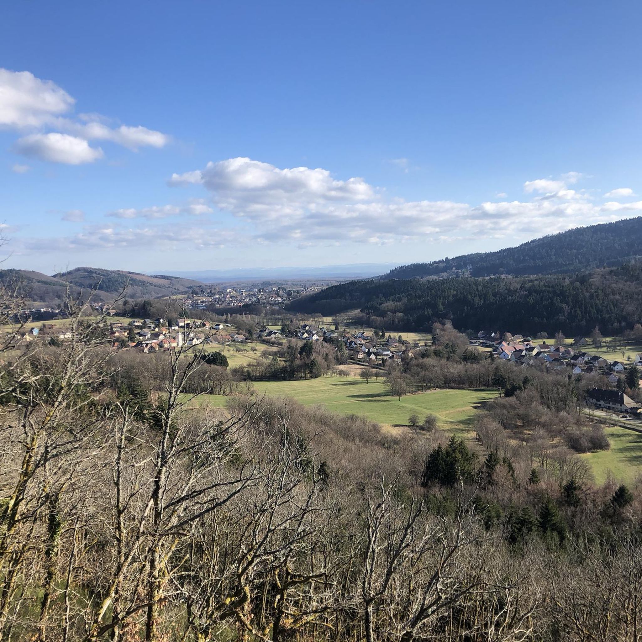
Mountaineering routes around Sickert traverse a landscape characterized by significant elevation changes, offering diverse terrain for outdoor enthusiasts. The region features mountain passes, scenic viewpoints, and routes leading to lakes, indicating a mix of forested areas and open mountain environments. These routes provide opportunities to explore the natural features of the area, including panoramic vistas and varied ecosystems. The trails often involve sustained ascents and descents, typical of mountain terrain.
Best mountaineering routes around Sickert
- The most popular mountaineering route…
Last updated: June 26, 2026
5
hikers
15.5km
04:58
640m
640m
Moderate mountaineering route. Good fitness required. Easily-accessible paths. Suitable for all skill levels.
5.0
(3)
4
hikers
10.4km
03:49
640m
640m
Moderate mountaineering route. Good fitness required. Easily-accessible paths. Suitable for all skill levels.

Sign up for free
4
hikers
26.8km
08:45
1,200m
1,200m
Hard mountaineering route. Very good fitness required. Easily-accessible paths. Suitable for all skill levels.
3
hikers
12.4km
04:22
540m
540m
Hard mountaineering route. Good fitness required. Sure-footedness, sturdy shoes and alpine experience required.
3.0
(1)
2
hikers
12.8km
04:02
490m
490m
Moderate mountaineering route. Good fitness required. Easily-accessible paths. Suitable for all skill levels.
Get access to more routes and recommendations from other explorers.
Sign up for free
Already have an account?
Our route recommendations are based on thousands of hikes, rides, and runs completed by other people on komoot.
Start today with a free account
Your next adventure awaits.
Login or Signup
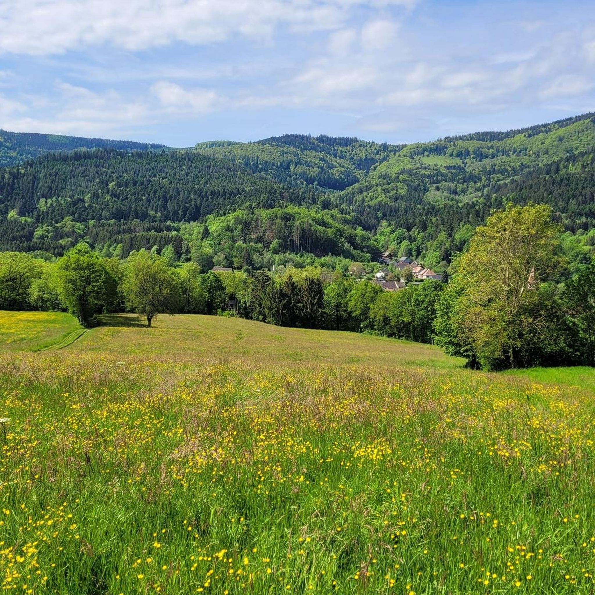
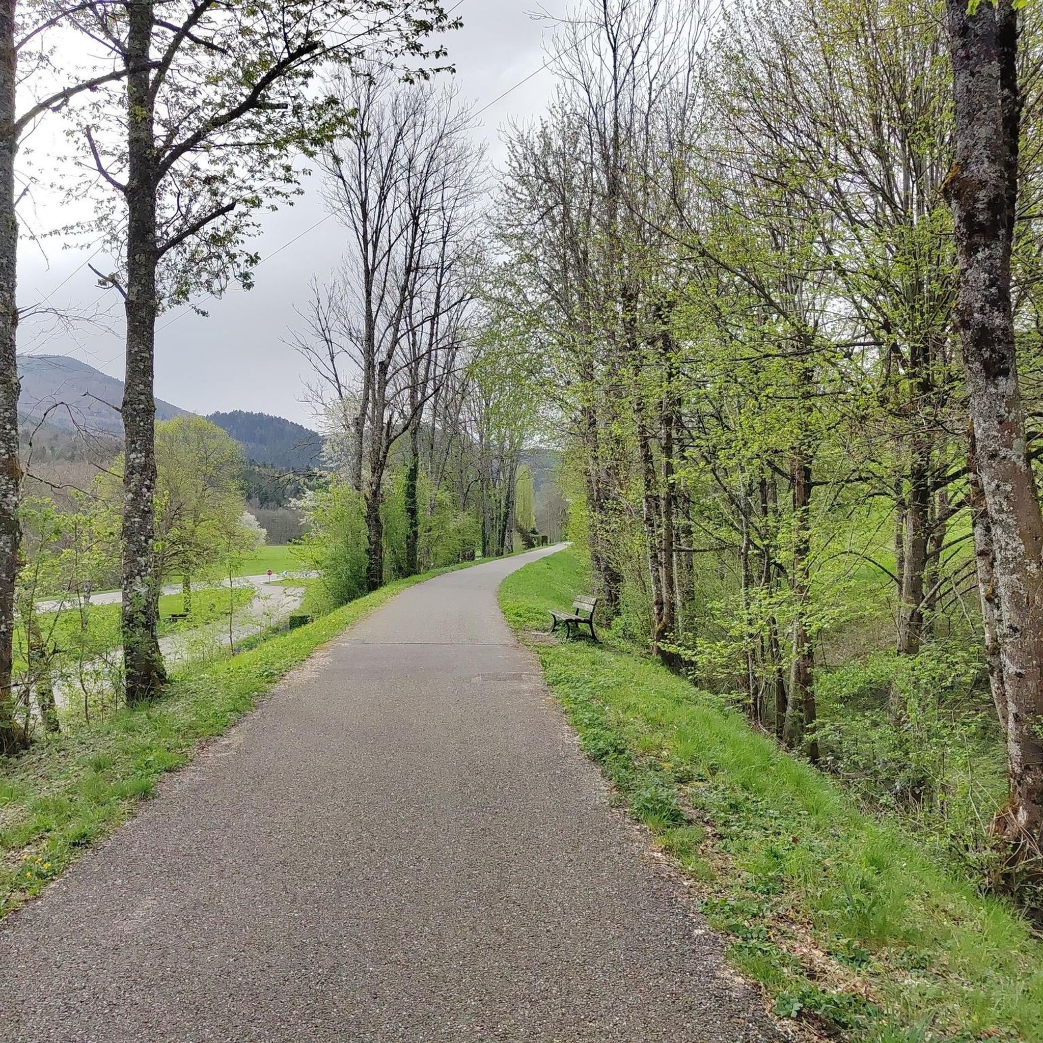
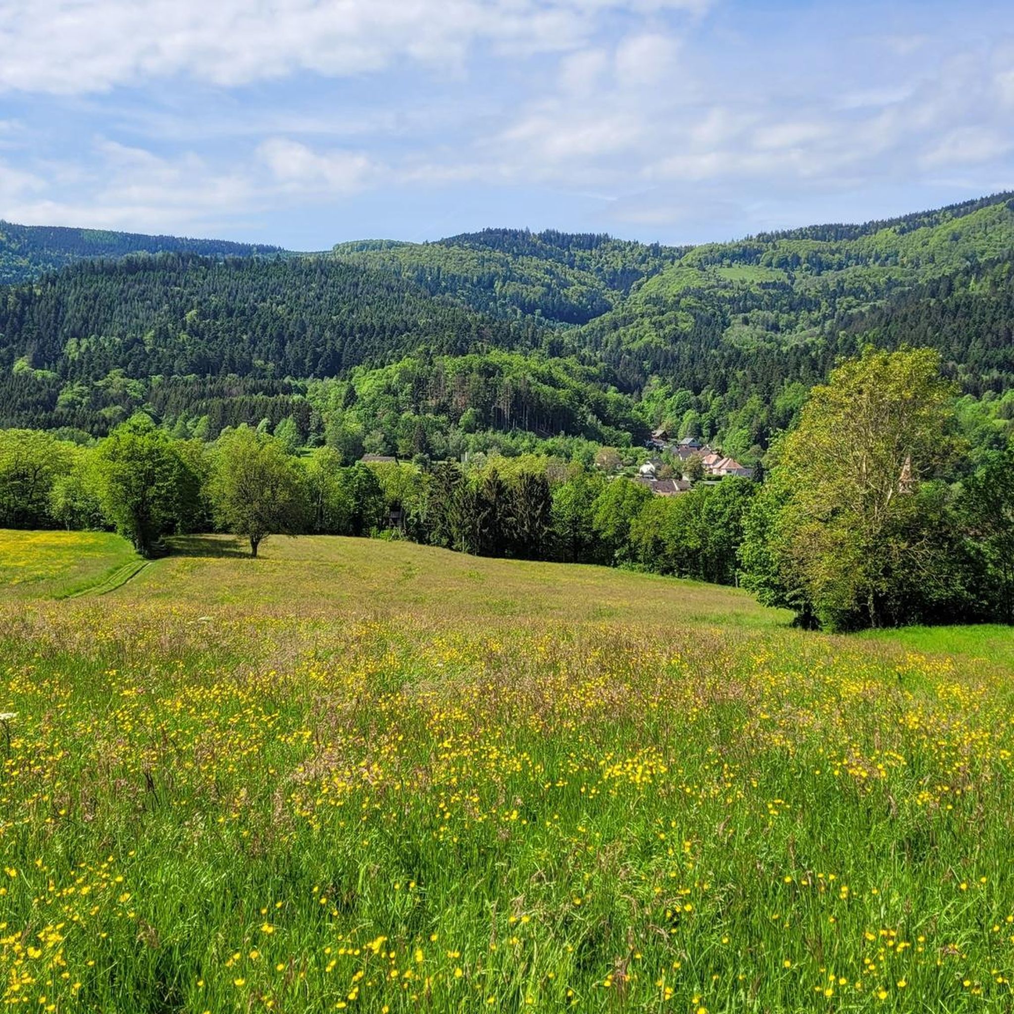
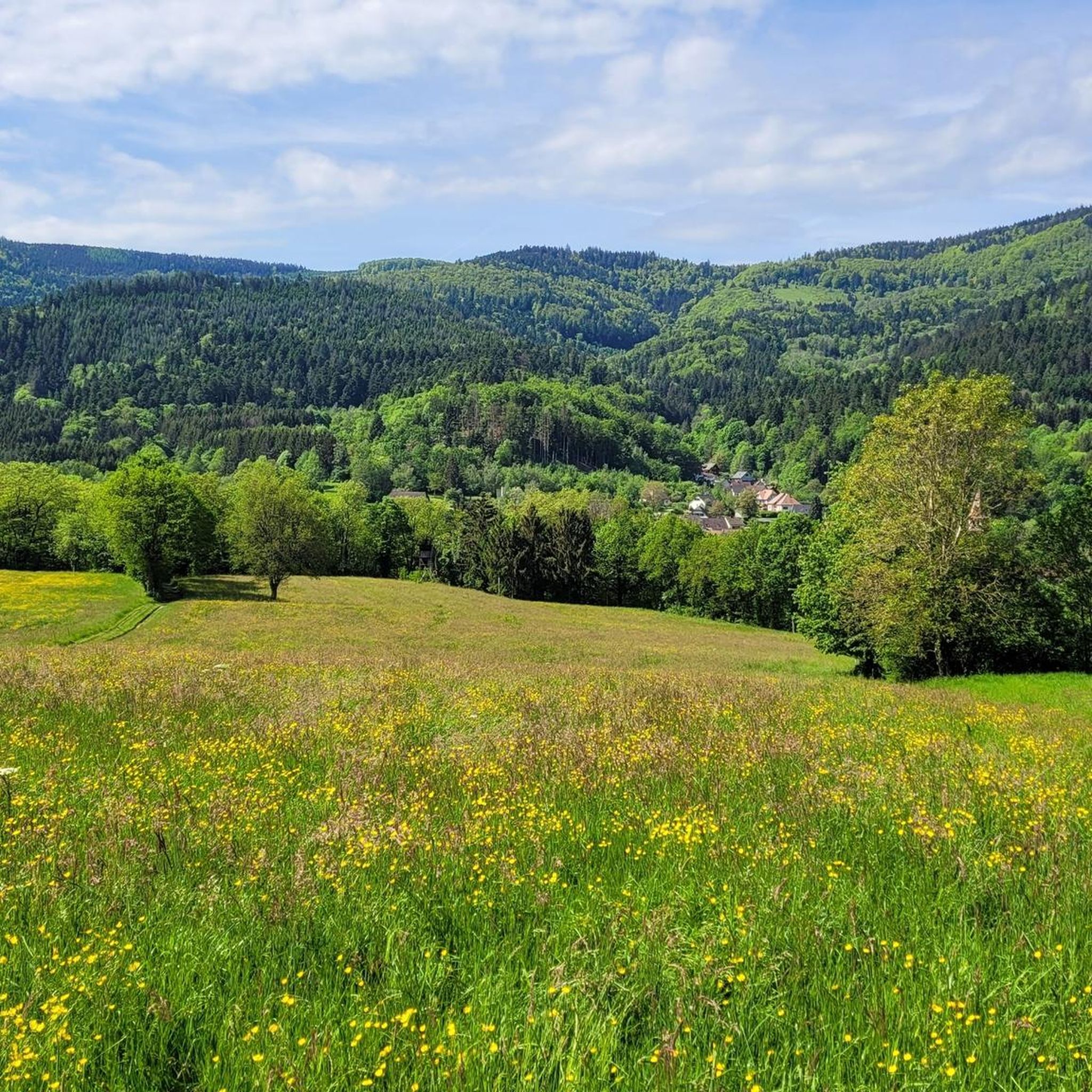

Tips from the Community


Beautiful hike and beautiful viewpoint
0
0

An incredible spot for a coffee break and more if you like... A winter day, above the sea of clouds, where how to enhance this already magical place ordinarily.
0
0
Superb little unguarded cabin. Ideal in summer. Not much space and increasingly popular. Please take care of it and take out your rubbish. Be careful, it gets smoky quickly.
0
0
Too bad the dam is currently under construction.
0
0

This shelter is one of 10 log cabins in the Doller Valley. Located near the GR5, at the Chaume de Haute Bers, not far from Rouge Gazon and Lac des Perches.
0
0
Located at an altitude of 800 meters.
0
0

Frequently Asked Questions
What types of mountaineering routes can I find around Sickert?
The Sickert region offers a variety of mountaineering routes, ranging from moderate to difficult. You'll find trails that traverse mountain passes, lead to scenic lakes, and wind through dense woodlands, providing diverse terrain for different skill levels. There are 4 moderate and 3 difficult routes available.
Are there any circular mountaineering routes in Sickert?
Yes, many of the mountaineering routes around Sickert are circular, allowing you to start and end in the same location. Examples include the Hundsruck Pass – Panoramic view loop from Bourbach-le-Haut, which offers expansive views, and the View of Lake Alfeld loop from Ballon d'Alsace.
What are some challenging mountaineering routes for experienced hikers in Sickert?
For experienced mountaineers seeking a challenge, Sickert offers several difficult routes. Consider the Hundsruck Pass – Vogelstein (Bird Rock) loop from Willer-sur-Thur, a demanding 26.8 km trail, or the Neuweiher Lake – Lac des Perches (Star Lake) loop from Le Rouge Gazon, which is 12.4 km long and also rated difficult.
What natural attractions can I see along the mountaineering routes in Sickert?
Mountaineering routes around Sickert often feature stunning natural landmarks. You can encounter the impressive Ballon d'Alsace summit, picturesque Lac des Perches (Star Lake) and Neuweiher Lake, or traverse the historic Hundsruck Pass.
Are there any routes that pass by lakes?
Yes, several routes offer views of or pass by beautiful lakes. The View of Lake Alfeld loop from Ballon d'Alsace provides scenic vistas of Lake Alfeld. Another option is the Neuweiher Lake – Lac des Perches (Star Lake) loop from Le Rouge Gazon, which visits both Neuweiher Lake and Lac des Perches (Star Lake).
What do other mountaineers say about the routes in Sickert?
The mountaineering routes in Sickert are highly regarded by the komoot community, holding an average rating of 3.5 stars from 6 reviews. Over 20 mountaineers have explored the varied terrain, often praising the diverse landscapes and the challenge offered by the mountain passes and woodlands.
Are there any cultural or historical landmarks near the mountaineering trails?
While the primary focus is on natural beauty, you can find historical points of interest nearby. For example, The Witch's Eye (Engelbourg Castle) is an intriguing castle ruin that can be explored in the vicinity of some routes.
What is the typical elevation gain on mountaineering routes in Sickert?
The mountaineering routes around Sickert feature significant elevation changes. For instance, a moderate route like the Hundsruck Pass – Panoramic view loop from Bourbach-le-Haut involves over 640 meters of ascent, while more difficult trails can exceed 1200 meters of elevation gain, such as the Hundsruck Pass – Vogelstein (Bird Rock) loop from Willer-sur-Thur.
Are there any less crowded alternatives for mountaineering in Sickert?
While the region is popular, exploring routes like the Lourdes Grotto – Moosch loop from Moosch might offer a quieter experience compared to the more frequently visited trails. This moderate route provides a different perspective of the area's mountainous terrain.
What kind of views can I expect on the mountaineering routes?
The routes around Sickert offer diverse and rewarding views. You can expect panoramic vistas from mountain passes like Hundsruck Pass, scenic outlooks over lakes such as Lake Alfeld, and expansive views across forested valleys and mountain landscapes.
How long do the mountaineering routes typically take to complete?
The duration of mountaineering routes in Sickert varies depending on their length and difficulty. Moderate routes, like the 10.1 km View of Lake Alfeld loop from Ballon d'Alsace, typically take around 3 hours 42 minutes. Longer, more difficult trails, such as the 26.8 km Hundsruck Pass – Vogelstein (Bird Rock) loop from Willer-sur-Thur, can require over 8 hours to complete.
Most popular routes around Sickert
Most popular attractions around Sickert

Get inspired with the komoot mobile app


Explore more
Browse the best Mountain Hikes & Routes in other regions.
