The best mountain hikes around Monthion
5.0
(4)
30
hikers
5
hikes
Mountaineering routes around Monthion are situated in the Savoie department of the Auvergne-Rhône-Alpes region in France, offering access to the heart of the French Alps. The area is characterized by diverse Alpine landscapes, including high-altitude terrain, mountain passes, and proximity to major massifs. This mountainous environment provides a range of challenging ascents and scenic routes for mountaineers.
Best mountaineering routes around Monthion
- The most popular mountaineering route is Col d'Orgeval loop from Réserve biologique intégrale du Haut Chéran, a…
Last updated: July 10, 2026
5.0
(2)
7
hikers
6.85km
03:46
690m
690m
Moderate mountaineering route. Good fitness required. Mostly accessible paths. Sure-footedness required.
8
hikers
15.5km
06:44
1,230m
1,220m
Hard mountaineering route. Very good fitness required. Sure-footedness, sturdy shoes and alpine experience required.

Sign up for free
5.0
(1)
8
hikers
6.05km
03:44
690m
690m
Moderate mountaineering route. Good fitness required. Mostly accessible paths. Sure-footedness required.
5
hikers
18.3km
06:46
1,040m
1,040m
Hard mountaineering route. Very good fitness required. Mostly accessible paths. Sure-footedness required.
5.0
(1)
2
hikers
8.36km
04:17
700m
710m
Hard mountaineering route. Good fitness required. Sure-footedness, sturdy shoes and alpine experience required.
Our route recommendations are based on thousands of hikes, rides, and runs completed by other people on komoot.
Start today with a free account
Your next adventure awaits.
Login or Signup
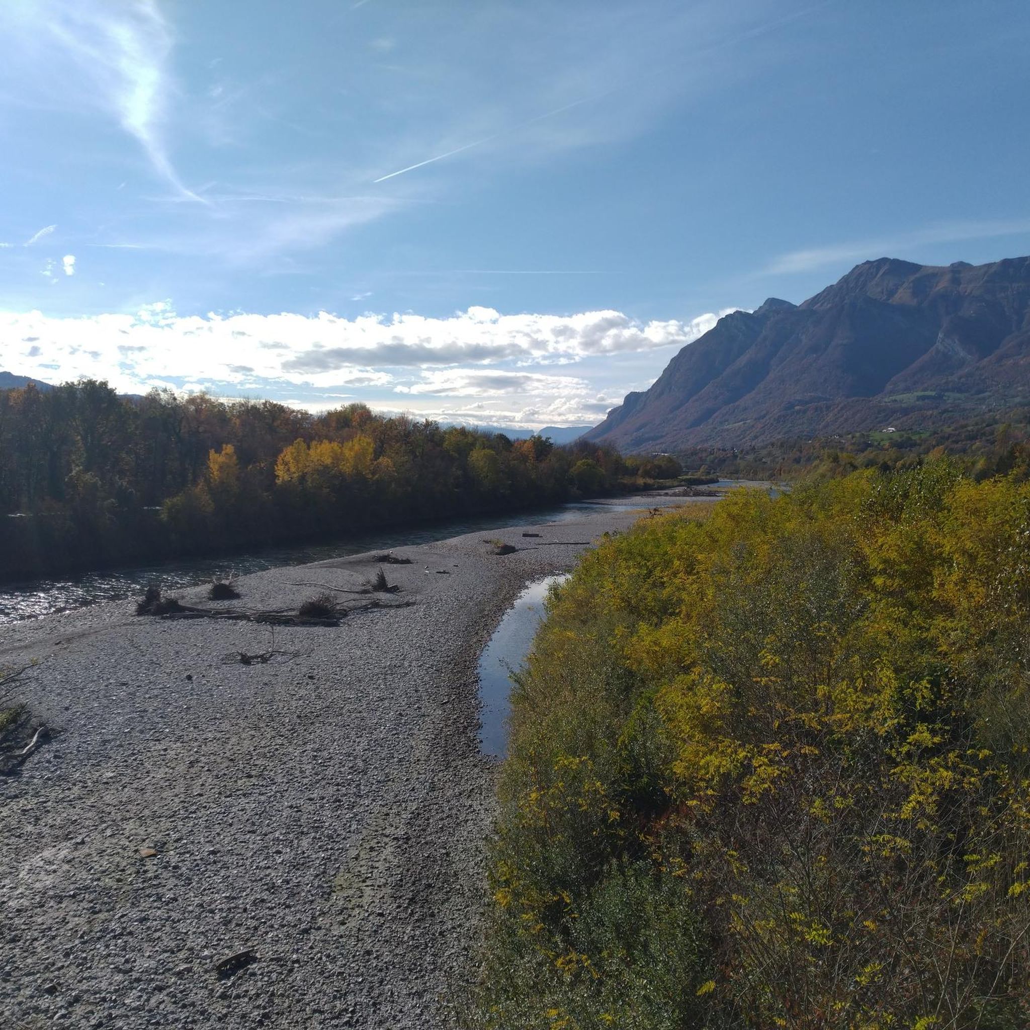
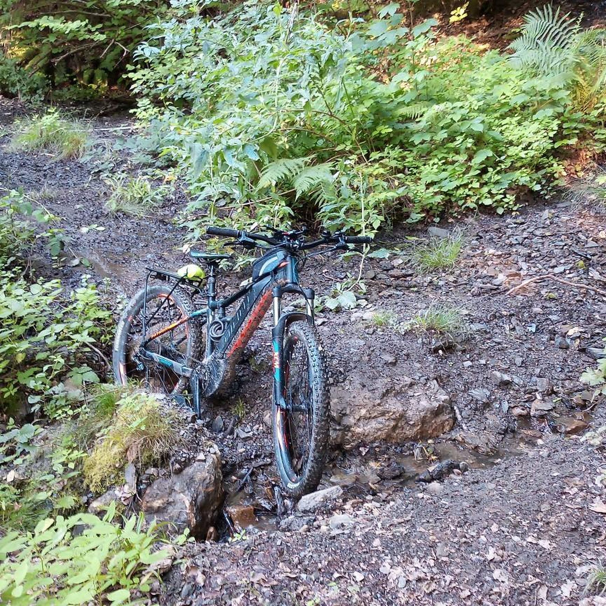
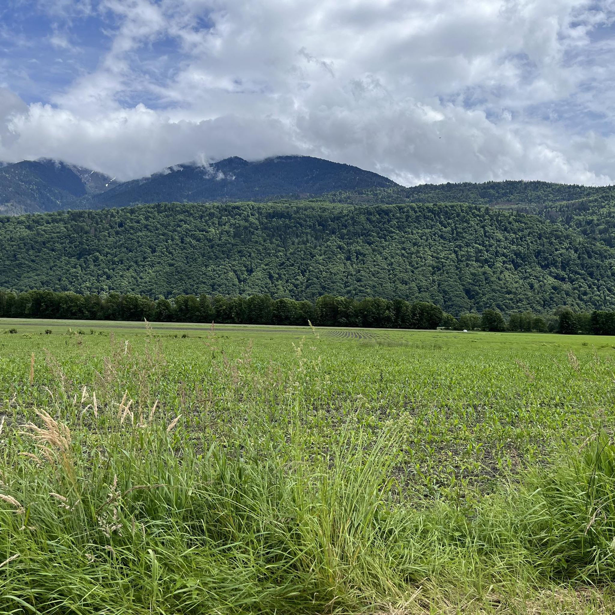



Tips from the Community

Amazing views on mount blanc, lac d’ annecy and more beautiful landscape! 😍 Attention, only take the path across the ridge to the chalet de L’Alpettaz if you are a really experienced hiker and like to get some adrenaline. It is super narrow and partly really dangerous. After finishing the dangerous part there is high grass through which the hike continues.
1
0

Chalet under renovation but part of it nevertheless provides shelter.
0
0
Access is quite physical but you are largely rewarded by the sumptuous 360° landscapes once at the top 🤩
1
0

It is a tricky short walk that takes longer than stated. We needed to scramble on parts of the ascent along a mountain ridge on the very thin trail, and the path was not always obvious on some of the ridge sections. The descent is also very steep towards the end, though thankfully this very steep section is fairly short. The lake was more of a quagmire when we walked it in early September. Not your usual crystal clear mountain lake and not particularly photogenic! Enjoyable, but for the length of the walk I would say it’s a harder intermediate.
0
0

Very nice view with an outstanding 360° Alpine panorama! Coming from the north via Le pas de l'âne, don't underestimate the difficulty of the ridge. At the end of February there was still a lot of snow and the fuses are not in place over the entire length. In parts, the hike has more of a via ferrata character. The ridge is sometimes very narrow and it feels like several hundred meters down to the left and right. But if you are prepared for it and are used to challenging terrain, then it is a super nice hike and absolutely recommendable!
0
0

The Grand Arc is located at 2,484 meters. From here there are splendid views of Mont Blanc, Vanoise and Bauges.
0
0

Wooden alpine chalet with picnic tables where you can eat with splendid views of Lake Annecy and the Bauges.
0
0
Frequently Asked Questions
What kind of mountaineering routes can I expect around Monthion?
Monthion, nestled in the Savoie department, offers a range of mountaineering experiences within the French Alps. You'll find routes with significant elevation gain and diverse Alpine landscapes, suitable for both moderate and difficult skill levels. The region is characterized by high-altitude terrain and proximity to major massifs like the Bauges and Chartreuse.
Are there any circular mountaineering routes available in the Monthion area?
Yes, several routes around Monthion are designed as loops, allowing you to start and finish at the same point. For a moderate challenge, consider the Col d'Orgeval loop from Réserve biologique intégrale du Haut Chéran. If you're looking for something more demanding, the Lac Noir – Le Grand Arc loop from Tioulévé offers extensive climbing and panoramic views.
What are some of the more challenging mountaineering routes near Monthion?
For experienced mountaineers seeking a challenge, Monthion offers several difficult routes. The Lac de Lavouet – Lac Sans Fond loop from La Bâthie is a demanding 11.9-mile trail through varied mountain terrain. Another option is the Croix Perillet and Chevron loop from Plancherine, which also presents a significant challenge.
What are the best times of year for mountaineering in the Savoie region around Monthion?
The best time for mountaineering in the Savoie region, including Monthion, is generally during the summer months from June to September when the weather is more stable and snow has receded from higher altitudes. However, the region also offers opportunities for winter mountaineering, particularly in massifs like Chartreuse, which is known for its gullies and icefalls.
Are there any notable natural attractions or landmarks to see near the mountaineering routes?
While on your mountaineering adventures, you might encounter several natural highlights. The Lac Noir – Le Grand Arc loop from Tioulévé takes you past a high-altitude lake. Additionally, the broader region boasts stunning features like the Tamié Pass and the summit of La Belle-Étoile, offering breathtaking views.
What do other mountaineers say about the routes around Monthion?
The mountaineering routes around Monthion are highly regarded by the komoot community, holding an average score of 5.0 stars from over 5 reviews. Mountaineers frequently praise the challenging ascents and the stunning Alpine landscapes encountered on these trails.
Are there any easy or beginner-friendly mountaineering routes near Monthion?
While many routes in the immediate Monthion area are rated moderate to difficult, the region offers diverse terrain. For those new to mountaineering, the Col d'Orgeval loop from Réserve biologique intégrale du Haut Chéran is classified as moderate, providing a good introduction to the area's challenges without being overly technical.
What are the typical durations for mountaineering routes in Monthion?
The duration of mountaineering routes around Monthion varies significantly based on difficulty and length. Moderate routes, like the Col d'Orgeval loop, typically take around 4 hours and 17 minutes. More difficult and longer trails, such as the Lac de Lavouet – Lac Sans Fond loop, can require approximately 7 hours and 11 minutes to complete.
Can I find technical climbing routes or bouldering spots in the wider Savoie region?
Absolutely. The Savoie and Haute-Savoie regions are renowned for climbing. You'll find natural cliffs and developed sites offering sport climbing on limestone, equipped long routes, and bouldering opportunities suitable for various skill levels. For more detailed information on climbing in the region, you can visit hautesavoiemontblanc-tourisme.com.
What are the options for parking when accessing mountaineering routes near Monthion?
Access points for mountaineering routes around Monthion often have designated parking areas. For instance, routes like the Col d'Orgeval loop and the Pointe de Chaurionde – Col d'Orgeval loop start from the Réserve biologique intégrale du Haut Chéran, where parking facilities are typically available for trail users. It's always advisable to check specific route details for precise parking information.
Are there any routes that offer views of Mont Blanc from the Monthion area?
While Mont Blanc is approximately 45 km from Monthion, the region's high-altitude routes often provide expansive panoramic views of the surrounding Alpine landscape. Depending on the specific route and weather conditions, you may catch glimpses of the Mont Blanc massif from higher vantage points, especially on routes with significant elevation gain like the Lac Noir – Le Grand Arc loop.
Most popular attractions around Monthion

Get inspired with the komoot mobile app


Explore more
Browse the best Mountain Hikes & Routes in other regions.
