The best walks and hikes around Rotangy
4.7
(6)
32
hikers
8
hikes
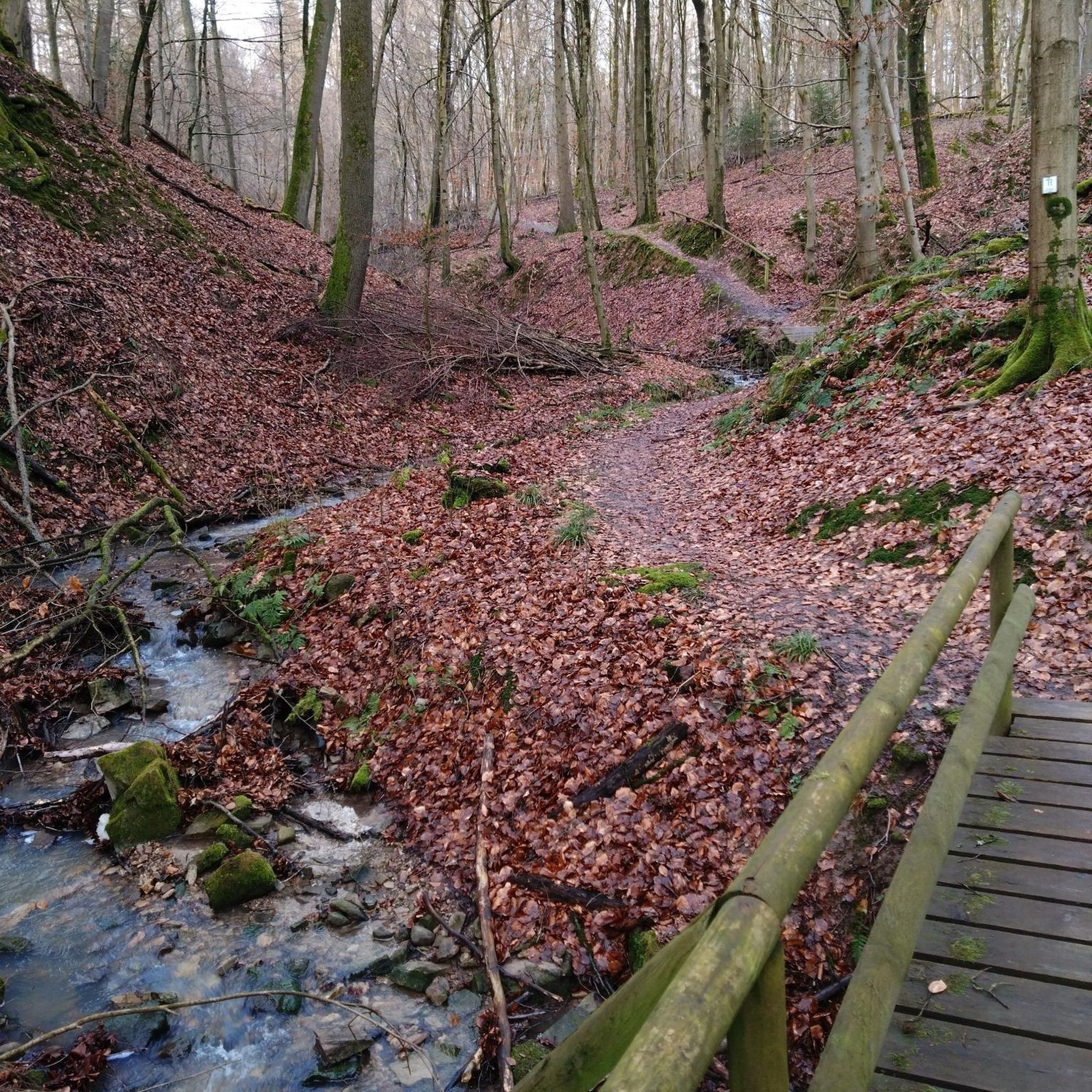
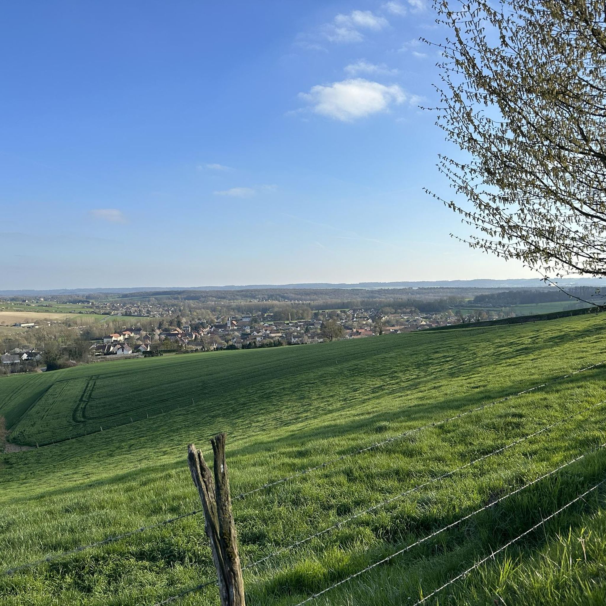
Hiking around Rotangy offers a diverse landscape characterized by valleys, woodlands, and historical sites. The region features varied terrain, from gentle forest paths to more challenging routes with moderate elevation changes. These trails provide opportunities to explore the natural environment and discover local landmarks. The area's network of paths caters to different fitness levels, making it suitable for a range of hiking experiences.
Best hiking trails around Rotangy
- The most popular hiking route is Vallée de la Selle – Château…
Last updated: June 27, 2026
4.0
(2)
5
hikers
4.94km
01:17
30m
30m
Easy hike. Great for any fitness level. Easily-accessible paths. Suitable for all skill levels.
4
hikers
20.0km
05:15
170m
170m
Hard hike. Very good fitness required. Easily-accessible paths. Suitable for all skill levels.

Sign up for free
3
hikers
16.0km
04:14
150m
150m
Moderate hike. Good fitness required. Easily-accessible paths. Suitable for all skill levels.
5.0
(1)
3
hikers
7.20km
01:52
40m
40m
Easy hike. Great for any fitness level. Easily-accessible paths. Suitable for all skill levels.
1
hikers
Easy hike. Great for any fitness level. Easily-accessible paths. Suitable for all skill levels.
Get access to more routes and recommendations from other explorers.
Sign up for free
Already have an account?
Our route recommendations are based on thousands of hikes, rides, and runs completed by other people on komoot.
Start today with a free account
Your next adventure awaits.
Login or Signup


Tips from the Community

The Beauvaisis Steam Train is a tourist railway created by the Museum of Steam Trams and French Secondary Railways (MTVS). It began operating in 2017 from Crèvecœur-le-Grand and runs along part of the old line from Saint-Omer-en-Chaussée to Vers, which is now approximately four kilometers long. Thanks to the work of volunteers, this historic train brings the era of steam trams back to life and offers a picturesque ride through the heart of the Oise countryside.
0
0

Located in the city center, this building dates back to the 15th century. A former medieval fortress, it was largely rebuilt during the Renaissance. The castle is famous for having hosted Francis I and Louis XIV for a night on July 15, 1680, in the north tower.
0
0

superb flat and secure place for quiet mountain biking. allows you to quickly reach several valleys.
0
1
Frequently Asked Questions
What kind of landscape can I expect when hiking around Rotangy?
Hiking around Rotangy offers a diverse landscape characterized by valleys, woodlands, and historical sites. You'll find varied terrain, from gentle forest paths to more challenging routes with moderate elevation changes, providing opportunities to explore the natural environment and discover local landmarks.
How many hiking trails are available in the Rotangy area?
There are over 8 hiking routes available in the Rotangy area, catering to various fitness levels and preferences.
Are there any easy hiking trails suitable for beginners or a relaxed walk?
Yes, Rotangy offers several easy trails. For example, the Bois des Loges loop from Luchy is an easy 4.47 miles (7.2 km) trail through woodlands. Another option is the Beauvaisis steam train – Railway Cars at the Museum loop from Crèvecœur-le-Grand, which is 5.75 miles (9.3 km) and also rated easy.
What are some of the historical sites or landmarks I can see while hiking?
Rotangy's trails often lead past historical sites. A prominent landmark is the Château de Crèvecœur, which can be explored on routes like the Château de Crèvecœur – Vallée de la Selle loop from Crèvecœur-le-Grand. You might also encounter the Beauvaisis steam train and its railway cars at the museum.
Are there any circular walks in Rotangy?
Yes, many of the trails in Rotangy are circular. Popular options include the Vallée de la Selle – Château de Crèvecœur loop from Fontaine-Bonneleau and the Bois des Loges loop from Luchy.
What do other hikers say about the trails in Rotangy?
The trails in Rotangy are highly rated by the komoot community, with an average score of 5.0 stars from several reviews. Hikers often praise the varied terrain, the opportunity to explore historical sites, and the well-maintained paths through woodlands and valleys.
Are there any trails that explore the local valleys?
Absolutely. The region is known for its valleys. The Vallée de la Selle is a notable feature, and you can explore it on routes such as the Vallée de la Selle – Château de Crèvecœur loop from Fontaine-Bonneleau.
What is the longest hike available in Rotangy?
The longest hike listed is the Vallée de la Selle – Château de Crèvecœur loop from Fontaine-Bonneleau, which is a difficult 12.4 miles (20.0 km) trail.
Are there any trails that pass by water features like ponds or lakes?
Yes, you can find trails that lead to local water features. For instance, the Milly Ponds are a point of interest in the area, offering a serene natural setting.
What is the general difficulty level of hiking in Rotangy?
Rotangy offers a range of difficulties. You'll find easy walks suitable for all, moderate trails for those seeking a bit more challenge, and a few difficult routes for experienced hikers, such as the Vallée de la Selle – Château de Crèvecœur loop from Fontaine-Bonneleau.
Can I find trails that go through woodlands or forests?
Yes, woodlands are a defining characteristic of the Rotangy hiking experience. Many routes, like the Bois des Loges loop from Luchy, take you directly through forested areas, offering shade and natural beauty.
Most popular attractions around Rotangy

Get inspired with the komoot mobile app


Explore more
Browse the best Hikes in other regions.
