
The best running trails around La Bloutière
4.3
(28)
534
runners
110
runs
Jogging around La Bloutière offers an opportunity to explore the rural landscape of the Manche department in Normandy. The commune is characterized by its bocage countryside, featuring small fields, hedgerows, and wooded areas. Elevation ranges from 80 to 172 meters, providing varied terrain with gentle hills suitable for different running levels. The presence of rivers like the Sienne and Bérence suggests potential for routes alongside water bodies.
Best jogging routes around La Bloutière
- The most popular jogging route is Running…
Last updated: June 28, 2026
5.0
(1)
7
runners
11.2km
01:15
150m
150m
Moderate run. Good fitness required. Mostly paved surfaces. Suitable for all skill levels.
2.0
(1)
8
runners
6.56km
00:42
100m
100m
Moderate run. Good fitness required. Mostly paved surfaces. Suitable for all skill levels.

Sign up for free
6
runners
4.82km
00:32
60m
60m
Easy run. Great for any fitness level. Mostly paved surfaces. Suitable for all skill levels.
4
runners
11.3km
01:12
130m
130m
Moderate run. Good fitness required. Mostly paved surfaces. Suitable for all skill levels.
2
runners
7.51km
00:48
60m
60m
Moderate run. Good fitness required. Mostly paved surfaces. Suitable for all skill levels.
Get access to more routes and recommendations from other explorers.
Sign up for free
Already have an account?
Our route recommendations are based on thousands of hikes, rides, and runs completed by other people on komoot.
Start today with a free account
Your next adventure awaits.
Login or Signup

Frequently Asked Questions
How many running routes are available around La Bloutière?
There are over 90 running routes available around La Bloutière, offering a wide range of options for different fitness levels and preferences. The komoot community has explored these routes over 400 times, highlighting the area's popularity for outdoor activities.
What kind of terrain can I expect on the jogging trails in La Bloutière?
The jogging trails in La Bloutière primarily feature the characteristic 'bocage' countryside of Normandy. This means you'll encounter a mix of small fields, hedgerows, and wooded areas. The elevation ranges from 80 to 172 meters, providing varied terrain with gentle hills suitable for different running levels. You may also find paths alongside rivers like the Sienne and Bérence.
Are there easy running routes suitable for beginners or families in La Bloutière?
Yes, La Bloutière offers several easy running routes perfect for beginners or families. For instance, the Running loop from Villedieu-les-Poêles is an easy 4.82 km (3.0 miles) trail with a gentle ascent of 57 meters, typically completed in about 32 minutes. There are 7 easy routes in total, providing accessible options for a relaxed jog.
What are some of the longer running trails near La Bloutière?
For those looking for a longer run, the Running loop from Fleury is a popular choice, covering 11.15 km (6.9 miles) with an ascent of 148 meters. Another excellent option is the Running loop from Le Mesnil-Garnier, which is 11.29 km long and features 125 meters of elevation gain.
Are there any notable landmarks or viewpoints along the running routes?
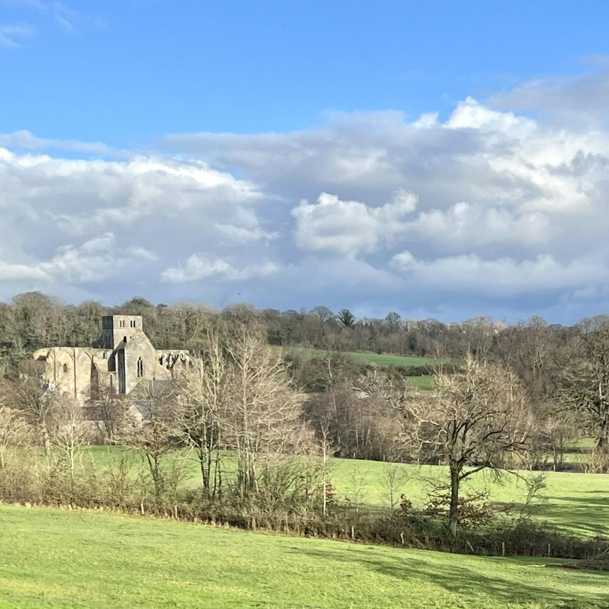
While La Bloutière itself is a tranquil rural area, nearby attractions offer points of interest. You might consider visiting the historic Abbaye de Hambye or exploring the Villedieu-les-Poêles-Rouffigny Town Center. For scenic views, there's a Viewpoint over Gavray that could be incorporated into a longer exploration of the area.
What do other runners enjoy most about jogging in La Bloutière?
The running routes in La Bloutière are highly rated by the komoot community, with an average score of 4.3 stars from over 26 reviews. Runners often praise the tranquil rural landscape, the varied terrain of the bocage countryside, and the peaceful atmosphere that makes for an enjoyable outdoor experience.
Are the running trails in La Bloutière suitable for dogs?
While specific regulations for dogs on trails are not detailed, the rural nature of La Bloutière and its bocage countryside generally make it a welcoming area for dog walking and running. It's always advisable to keep your dog on a leash, especially near agricultural areas or livestock, and to respect local signage regarding pet access.
What is the best time of year to go running in La Bloutière?
The best time to go running in La Bloutière is typically during the spring, summer, and early autumn months. During these seasons, the weather is generally milder and more pleasant, allowing you to fully enjoy the lush bocage countryside and riverine landscapes. Always check the local weather forecast before heading out.
Are there circular running routes available in La Bloutière?
Yes, many of the running routes around La Bloutière are designed as circular loops, offering convenient starting and ending points. Examples include the Running loop from Fleury and the Running loop from Villedieu-les-Poêles-Rouffigny, allowing you to explore the area without retracing your steps.
What are the difficulty levels of the running routes in La Bloutière?
The running routes in La Bloutière cater to various fitness levels. You'll find 7 easy routes, 76 moderate routes, and 8 difficult routes. This variety ensures that both casual joggers and more experienced runners can find suitable challenges, from gentle strolls through rural landscapes to more demanding trails with greater elevation changes.
Is there parking available near the running trails in La Bloutière?
Given the rural setting of La Bloutière, parking is generally available in or near the small villages and hamlets that serve as starting points for many routes. For routes originating from towns like Villedieu-les-Poêles, you can typically find public parking facilities. It's always a good idea to check specific route details or local maps for designated parking areas.
Can I access La Bloutière's running trails using public transport?
La Bloutière is a small, rural commune, and direct public transport links to specific trailheads might be limited. While regional bus services may connect to larger nearby towns like Villedieu-les-Poêles, accessing the more secluded running trails often requires personal transportation. Planning your route in advance and checking local transport schedules is recommended.
Most popular attractions around La Bloutière

Get inspired with the komoot mobile app


Explore more
Browse the best Running Trails & Routes in other regions.
