The best walks and hikes around Talmontiers
4.7
(25)
88
hikers
22
hikes
Hiking around Talmontiers, located in the Oise department of France, offers routes through the verdant and undulating landscapes of the Pays de Bray. The region is characterized by its 'bocage' panoramas, featuring small fields enclosed by hedges and woods. Trails often follow the Epte River and traverse green spaces and forests, providing varied terrain for outdoor activities. The area's gentle elevation changes make it accessible for various hiking abilities.
Best hiking trails around Talmontiers
- The most popular hiking route is…
Last updated: July 13, 2026
4.6
(11)
20
hikers
10.6km
02:56
170m
170m
Moderate hike. Good fitness required. Easily-accessible paths. Suitable for all skill levels.
4.0
(1)
3
hikers
8.73km
02:18
80m
80m
Moderate hike. Good fitness required. Easily-accessible paths. Suitable for all skill levels.

Sign up for free
4.0
(1)
3
hikers
8.40km
02:13
80m
80m
Moderate hike. Good fitness required. Easily-accessible paths. Suitable for all skill levels.
5.0
(1)
3
hikers
7.76km
02:09
140m
140m
Moderate hike. Good fitness required. Easily-accessible paths. Suitable for all skill levels.
5.0
(1)
2
hikers
4.75km
01:15
50m
50m
Easy hike. Great for any fitness level. Easily-accessible paths. Suitable for all skill levels.
Get access to more routes and recommendations from other explorers.
Sign up for free
Already have an account?
Our route recommendations are based on thousands of hikes, rides, and runs completed by other people on komoot.
Start today with a free account
Your next adventure awaits.
Login or Signup



Tips from the Community

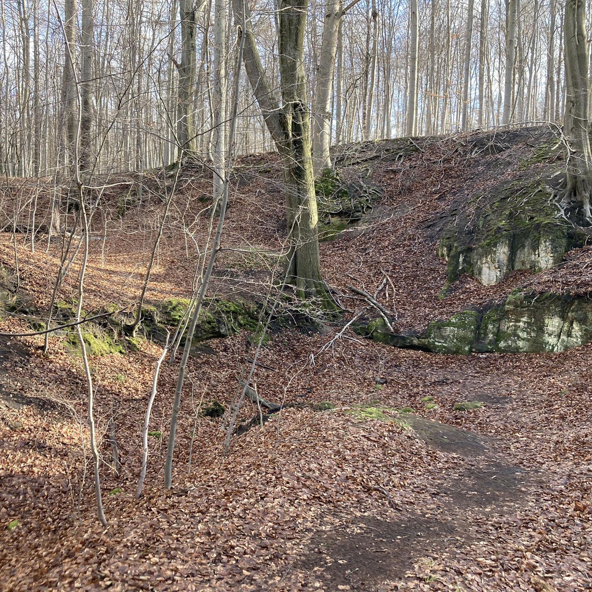
Starting from the Saint Jean Baptiste church, passing through the pasture paths for the cows, access to the forest is accessible for families. Very pleasant and revitalizing!
0
0

An astonishing site with exceptional views of the Pays de Bray, in the heart of the nature reserve of the larris and peat bogs of Saint-Pierre-ès-Champs.
3
0
Frequently Asked Questions
How many hiking trails are available around Talmontiers?
There are over 15 hiking routes around Talmontiers, offering a variety of experiences. These include 7 easy trails, 9 moderate routes, and 1 more challenging option, ensuring there's something for every ability level.
What kind of landscapes can I expect to see while hiking in Talmontiers?
Hiking in Talmontiers takes you through the picturesque landscapes of the Pays de Bray. You'll encounter 'bocage' panoramas, characterized by small fields enclosed by hedges and woods, as well as lush green spaces and forests. Some trails also follow the scenic Epte River.
Are there any easy, family-friendly hikes in the Talmontiers area?
Yes, Talmontiers offers several easy routes suitable for families. An excellent option is the Gournay-en-Bray loop from Ferrières-en-Bray, an easy 4.2 km trail with minimal elevation gain, perfect for a leisurely stroll.
What are the best circular walks around Talmontiers?
Many of the trails around Talmontiers are circular, allowing you to start and end at the same point. Popular choices include the moderate Hiking loop from Saint-Pierre-es-Champs, which is 10.6 km long, or the slightly shorter Saint denis du ferment loop from Saint-Denis-le-Ferment at 8.7 km.
What do other hikers say about the trails in Talmontiers?
The hiking routes in Talmontiers are highly regarded by the komoot community, with an average rating of 4.8 stars from over 20 reviews. Hikers often praise the varied terrain, the peaceful bocage landscapes, and the well-maintained paths that showcase the region's natural beauty.
Are there any notable landmarks or attractions to see near the hiking trails?
While hiking, you can explore several interesting sites. Consider visiting the historic Saint-Germer-de-Fly Abbey Church or the tranquil Saint-Denis Church of Bazincourt. The Forest Entrance on the Trans'Oise Greenway also offers a pleasant natural point of interest.
What is the typical difficulty level of hikes in Talmontiers?
The majority of hikes in Talmontiers are classified as easy to moderate. The region's gentle elevation changes make it accessible for various hiking abilities, with 7 easy and 9 moderate routes available. There is also one more difficult trail for those seeking a greater challenge.
Are there any trails that feature orchards or agricultural fields?
Yes, some routes offer views of the local agricultural landscape. The Orchards and Arable Field Crops loop from Saint-Pierre-es-Champs is a moderate 7.7 km trail that specifically highlights these features, providing a pleasant rural experience.
What is the best time of year to go hiking in Talmontiers?
The verdant landscapes of Talmontiers are enjoyable throughout much of the year. Spring and autumn offer pleasant temperatures and beautiful scenery with blooming flowers or colorful foliage. Summer is also suitable, though it can be warmer, while winter hikes are possible, but conditions may vary.
Can I find trails that follow the Epte River?
Yes, the Epte River is a significant natural feature in the region, and some hiking trails are designed to explore its banks and the surrounding picturesque countryside. These routes offer a chance to enjoy the tranquil waterside environment.
Are there any longer, more challenging routes for experienced hikers?
While most trails are easy to moderate, there is one more difficult route available for experienced hikers looking for a greater challenge. The moderate Hiking loop from Saint-Pierre-es-Champs, at 10.6 km with 172 meters of elevation gain, offers a good workout for those seeking a longer excursion.
Most popular attractions around Talmontiers

Get inspired with the komoot mobile app


Explore more
Browse the best Hikes in other regions.
