The best walks and hikes around Fransures
4.7
(55)
257
hikers
28
hikes
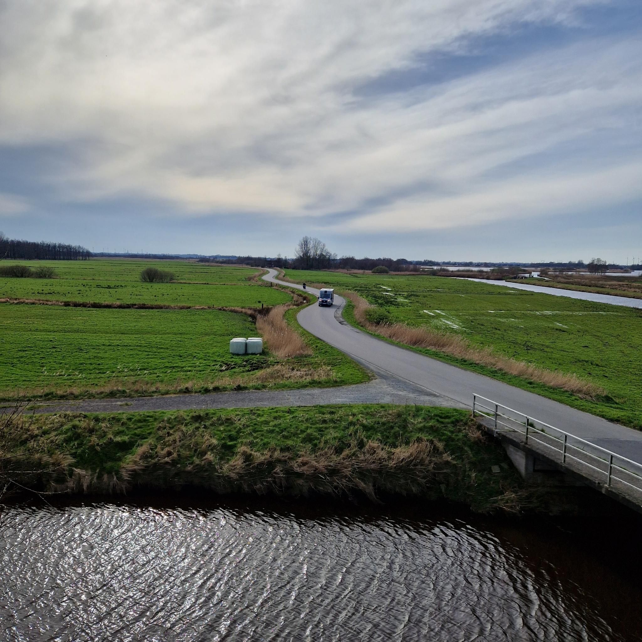
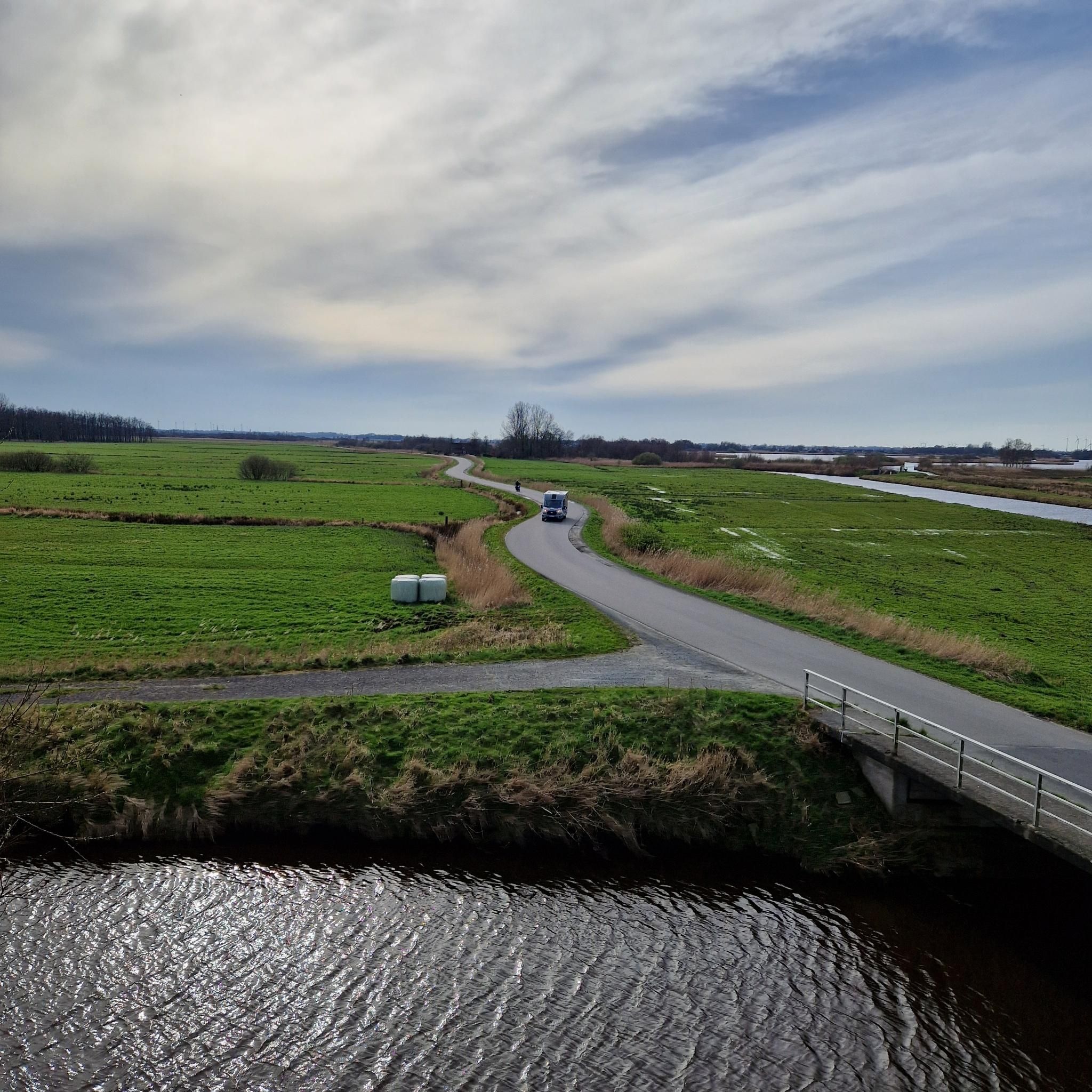
Hiking around Fransures provides opportunities to explore the rural landscapes of the Somme department in France. The region is characterized by gently rolling terrain, agricultural fields, and scattered woodlands, often traversed by small rivers and streams. These physical features create a network of paths suitable for various hiking experiences, from leisurely walks to longer excursions.
Best hiking trails around Fransures
- The most popular hiking route is Abandoned Railway Bridge loop from Conty, a difficult 13.1 miles (21.0 km) trail…
Last updated: July 1, 2026
5.0
(2)
11
hikers
15.3km
04:02
130m
130m
Moderate hike. Good fitness required. Easily-accessible paths. Suitable for all skill levels.
5.0
(2)
11
hikers
16.3km
04:17
140m
140m
Moderate hike. Good fitness required. Easily-accessible paths. Suitable for all skill levels.

Sign up for free
8
hikers
9.45km
02:28
70m
70m
Moderate hike. Good fitness required. Easily-accessible paths. Suitable for all skill levels.
4.5
(2)
10
hikers
21.0km
05:33
190m
190m
Hard hike. Very good fitness required. Easily-accessible paths. Suitable for all skill levels.
4.7
(3)
8
hikers
11.8km
03:02
60m
60m
Moderate hike. Good fitness required. Easily-accessible paths. Suitable for all skill levels.
Get access to more routes and recommendations from other explorers.
Sign up for free
Already have an account?
Our route recommendations are based on thousands of hikes, rides, and runs completed by other people on komoot.
Start today with a free account
Your next adventure awaits.
Login or Signup


Tips from the Community

For the technicians, in the middle of nature around large fish bees
0
0
Frequently Asked Questions
How many hiking trails are available around Fransures?
There are over 25 hiking trails around Fransures, offering a variety of experiences from easy strolls to more challenging excursions. The region features 6 easy routes, 20 moderate routes, and 2 difficult routes.
What kind of landscapes can I expect to see while hiking near Fransures?
Hiking around Fransures allows you to explore the rural landscapes of the Somme department. You'll encounter gently rolling terrain, expansive agricultural fields, scattered woodlands, and often small rivers and streams. A notable feature is the presence of abandoned railway lines, which some trails utilize.
Are there any circular hiking routes in the Fransures area?
Yes, many of the trails around Fransures are circular. For example, the Saint-Vaast Church – Abandoned Railway Bridge loop from Lœuilly is a moderate 10.1-mile path that includes sections along an abandoned railway line and passes by historical points of interest.
What do other hikers say about the trails in Fransures?
The hiking routes in Fransures are highly rated by the komoot community, with an average score of 4.7 stars from nearly 50 reviews. Hikers often praise the varied terrain and the opportunities to explore rural landscapes and historical infrastructure.
Are there any easy hiking trails suitable for beginners or families with children?
Yes, Fransures offers 6 easy hiking routes. These trails are generally shorter and have less elevation gain, making them suitable for beginners or families looking for a relaxed outdoor experience. While specific family-friendly routes aren't detailed, the easy trails are a good starting point.
Are dogs allowed on the hiking trails around Fransures?
While specific regulations can vary by trail, generally, dogs are welcome on many public footpaths in rural France, often on a leash. It's always advisable to check local signage or specific route descriptions for any restrictions before heading out with your dog.
What are some interesting places or landmarks to see near the hiking trails?
While hiking around Fransures, you can explore several interesting spots. The Coulée Verte and the Former Coulée Verte railroad line offer unique pathways. You might also encounter natural features like Mont de Velennes, the Vallée de la Selle, and the peaceful Berny Pond.
Are there any longer or more challenging hikes available?
Yes, for those seeking a more challenging experience, there are 2 difficult routes. An example is the Abandoned Railway Bridge loop from Conty, a demanding 13.1-mile trail that typically takes over 5 hours to complete and features varied terrain.
What is the typical duration for hikes in Fransures?
Hike durations vary significantly based on the trail's length and difficulty. Easy routes might take an hour or two, while moderate trails like the Abandoned Railway Bridge loop from Tilloy-lès-Conty (5.9 miles) can be completed in about 2 hours 27 minutes. Longer, difficult routes can take over 5 hours.
Is there parking available near the trailheads in Fransures?
While specific parking locations are not detailed for every trailhead, Fransures and its surrounding villages are generally rural, and you can often find public parking in village centers or designated areas near popular starting points for trails. It's recommended to check maps or local information for specific parking options for your chosen route.
What is the best time of year to go hiking in Fransures?
The best time to hike in Fransures, like much of rural France, is typically during spring (April-June) and autumn (September-October) when the weather is mild and the landscapes are vibrant. Summer can also be pleasant, though it can get warm, while winter offers a different, often quieter, experience, but some paths might be muddy.
Are there any hikes that pass by historical sites?
Yes, some routes incorporate historical elements. For instance, the Saint-Vaast Church – Abandoned Railway Bridge loop from Lœuilly includes sections along an abandoned railway line and passes by historical points of interest, offering a glimpse into the region's past.
Most popular routes around Fransures
Most popular attractions around Fransures

Get inspired with the komoot mobile app


Explore more
Browse the best Hikes in other regions.
