The 8 Most Amazing Peaks around Doesburg
Best mountain peaks around Doesburg are found within a region characterized by its generally flat topography. Doesburg, with an elevation of 13 meters above sea level, is strategically situated on the River IJssel, defining its riverine landscape. While the area does not feature traditional mountain peaks, it offers modest hills and elevated points that provide local challenges and scenic viewpoints. These features contribute to the unique Doesburg geography and terrain, offering opportunities for outdoor activities.
Best mountain peaks around Doesburg
…Last updated: July 1, 2026
Emma Pyramid climb
Highlight (Segment) • Climb
Tip by

Zijpenberg Climb from Rozendaal
Highlight (Segment) • Climb
Translated by Google •
Tip by

Sign up now to discover places like this
Get recommendations on the best single tracks, peaks, & plenty of other exciting outdoor places.
Sign up for free
Zijpenberg Climb from Rheden via Posbank
Highlight (Segment) • Climb
Translated by Google •
Tip by

Signaal Imbosch
Highlight • Summit
Don't expect fancy …
Tip by
Carolinaberg
Highlight • Summit
Translated by Google •
Tip by

Sign up for free to discover even more peaks around Doesburg.
Sign up for free
Already have an account?
Start today with a free account
Your next adventure awaits.
Login or Signup
Popular around Doesburg
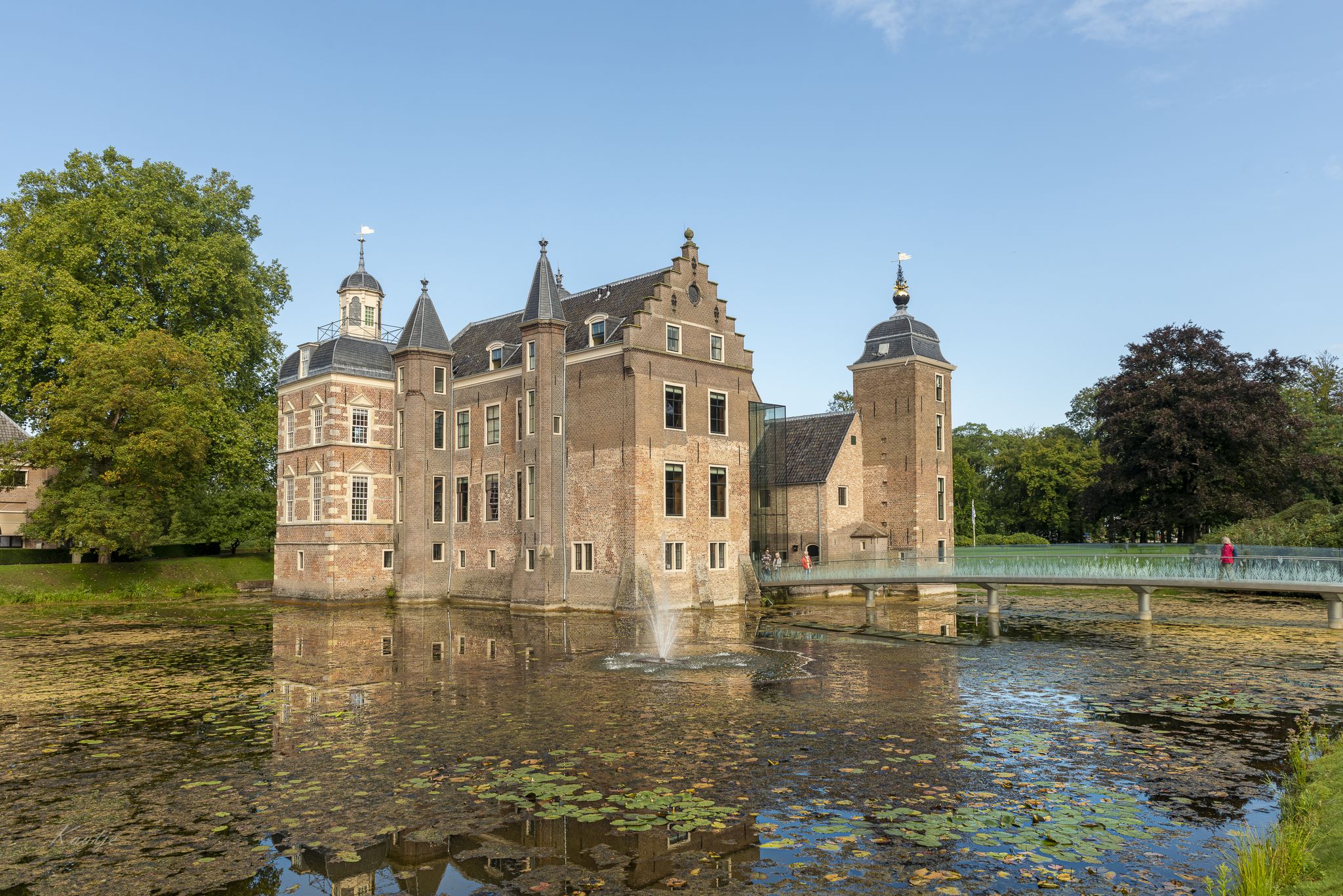
Wandering through the Achterhoek – Graafschapspad (SP 08)
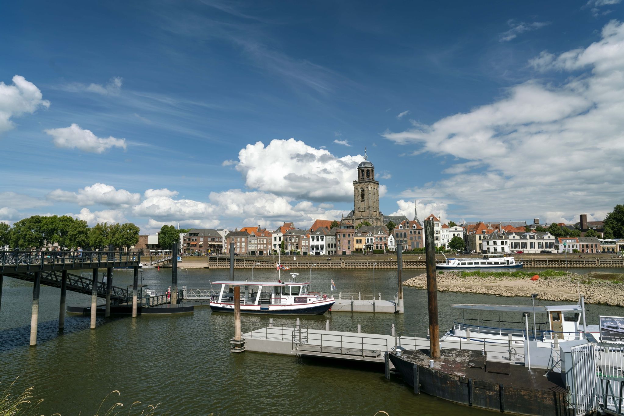
Hiking between cultural history and nature – The Hanzestedenpad
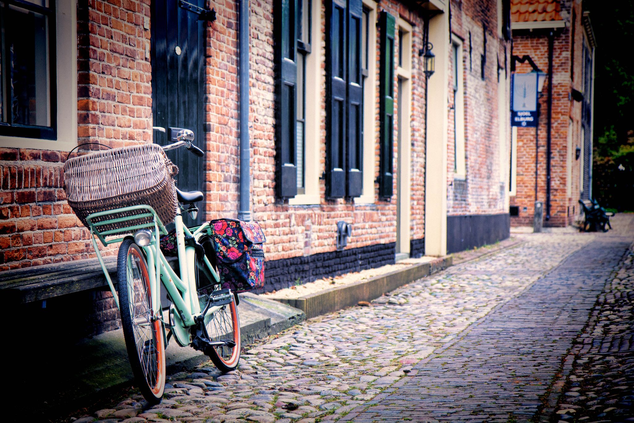
Wonderful round trips along the German and Dutch Hanser Route
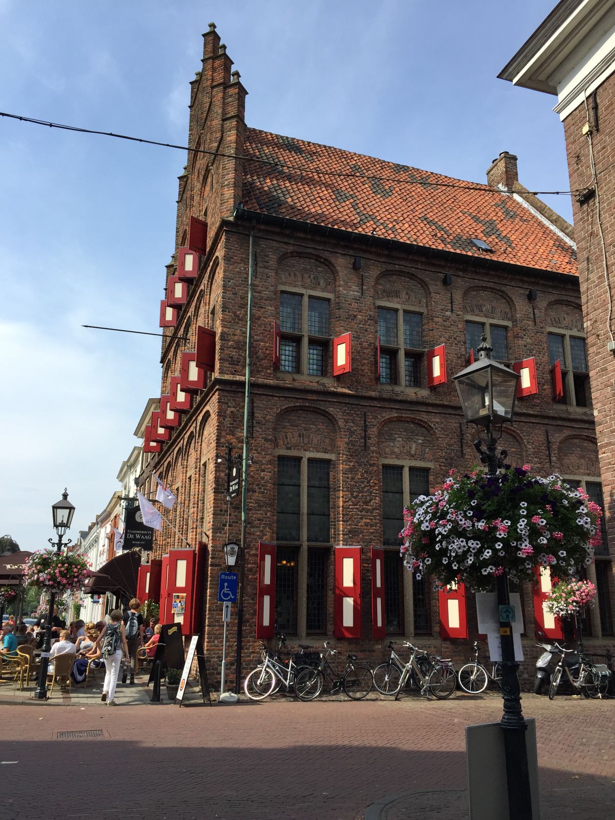
From Germany to the Netherlands — explore the Hansa Cycle Route
Hiking around Doesburg
Cycling around Doesburg
Running Trails around Doesburg
Road Cycling Routes around Doesburg
Gravel biking around Doesburg
MTB Trails around Doesburg
Other adventures around Doesburg


Tips from the Community

Please note: The Emma Pyramid, the tower that can be climbed, is temporarily closed. All routes are still accessible. The tower itself cannot be climbed for safety reasons. This is temporary, as maintenance still needs to be scheduled.
0
1

Imbosch originated in the 17th century when attempts were made to establish agriculture on these lands. Imbosch consists of three houses: a former hunting lodge, a former worker's house, and a former farm.
0
2


Fan of climbing? You can find this Highlight in 'Climbing in the Netherlands', our book with 14 racing bike routes, good for 11,000+ altitude meters: Limburg, Nijmegen, Twente, Veluwe and many more. All routes have multiple distances/shortcuts. Komoot Premium month at €5 + 50% discount Climbfinder premium at €15 as a gift. Download the ebook for €14: https://bit.ly/klimmen-in-nederland
0
0

Perhaps the most beautiful climb in this area.
0
0

Climb the Zijpenberg from Rheden, via the Snippendaalseweg. A challenging climb on a cycle path where dosing is the magic word. Here you continuously alternate between exertion and relaxation.
0
0

The Zijpenberg climb from Rozendaal is a popular route among cyclists in the Veluwezoom region, offering both a challenging ascent and scenic beauty. Starting in Rozendaal, the 2-kilometer climb winds through Veluwezoom National Park, known for its rolling hills, dense forests, and open heathlands. With an elevation gain of about 80 meters and an average gradient of 4%, including some steeper sections, cyclists will enjoy stunning views along the well-maintained road, ensuring a smooth and safe ride suitable for road bikes. The climb is relatively quiet, especially on weekdays, but can be busy with cars and motorbikes during nice weather or holidays. It is easily accessible from Rozendaal and connects well with other routes, making it perfect for extended rides.
5
0
The Emma Pyramid is located in the Veluwezoom National Park, near the village of Rozendaal. The road leading to the Emma Pyramid is generally well-maintained and provides a safe environment for climbing. Traffic is usually minimal, especially during quieter times. Upon reaching the Emma Pyramid summit, you'll be rewarded with stunning views of the Veluwezoom and the surrounding nature. It's a perfect spot to rest and take in the scenery before beginning your descent. Climbing the Emma Pyramid not only presents a physical challenge but also offers an opportunity to appreciate the natural beauty of Veluwezoom. It's a must for cyclists who enjoy discovering new routes and testing their climbing skills. The average gradient of the climb varies between 3% and 5%, with some steeper sections towards the summit. The climb to the Emma Pyramid is approximately 1.5 to 2 kilometers long, depending on the route chosen, with an elevation gain of about 50 to 70 meters.
3
1
Frequently Asked Questions
What kind of 'mountain peaks' can I expect around Doesburg?
Doesburg is located in the generally flat Netherlands, so you won't find traditional high mountain peaks. Instead, the region offers modest hills, challenging climbs, and elevated viewpoints. These features provide unique opportunities for outdoor activities and scenic views within a river-dominated landscape.
What are some of the most popular elevated spots or climbs near Doesburg?
Visitors frequently enjoy the Emma Pyramid climb, known for its challenging hairpin corner. Another popular spot is the Zijpenberg Climb from Rozendaal, considered one of the toughest climbs around Arnhem due to its sustained effort. The mysterious Wrangebult also attracts visitors with its steep climb through an ancient forest and local legends.
Where is the highest point in the region around Doesburg?
The highest geographical point in the central Dutch region (outside of South Limburg) is Signaal Imbosch. While it's an important elevation at 109.9 meters, it's an overgrown hill within a forest, so don't expect expansive views directly from the summit. It's more of a point of interest for its elevation and nearby historical sites like the Nazi ruins of Teerose 2.
Are there any family-friendly elevated spots or trails near Doesburg?
Yes, Signaal Imbosch is considered family-friendly. While the summit itself is an inconspicuous forest hill, the surrounding area offers pleasant forest trails suitable for families to explore.
What kind of natural features can I expect to see on these climbs and hills?
You'll encounter diverse natural features such as dense forests, especially around the Wrangebult which is situated on a drifting dune from the last ice age. The Zijpenberg Climb from Rheden via Posbank offers beautiful views of heathlands. Many spots also provide elevated viewpoints over the surrounding landscape.
Are there historical or cultural sites associated with these elevated points?
Yes, the Wrangebult is steeped in local legends, possibly having been a sacrificial site or gallows hill. Near Signaal Imbosch, you can find the ruins of Teerose 2, old antenna works used by the German Luftwaffe during WWII, adding a historical dimension to your visit.
What outdoor activities can I do near these elevated points around Doesburg?
The region is excellent for cycling and walking. You can find numerous road cycling routes, including those that incorporate the challenging climbs. There are also gravel biking trails and running trails that allow you to explore the varied terrain and riverine landscapes.
What kind of cycling challenges do these 'peaks' offer?
The 'peaks' around Doesburg are well-known for their challenging climbs, particularly for cyclists. The Emma Pyramid climb features the only hairpin corner in the Netherlands outside of South Limburg, making it a popular spot to push physical limits. The Zijpenberg Climb from Rozendaal is also noted for its sustained effort and hairpin bends, making it one of the toughest climbs in the Arnhem area.
Are there good viewpoints among these elevated areas?
While Signaal Imbosch itself doesn't offer fancy views, other elevated points and climbs, such as the Zijpenberg Climb from Rheden via Posbank, provide very nice views of the heath landscape and surrounding natural reserves.
What do visitors enjoy most about the elevated spots around Doesburg?
Visitors appreciate the unique challenge these modest hills and climbs offer, especially for cycling. The beautiful winding routes, the opportunity to combine different climbs, and the scenic views of heathlands and forests are frequently mentioned. The historical and legendary aspects of places like the Wrangebult also add to the appeal.
Can I combine these climbs with longer routes?
Absolutely. Many of these climbs, like the Emma Pyramid climb, are ideal for combining with other routes on the Posbank, allowing for extended cycling tours. The area's network of roads and trails makes it easy to link different elevated points and explore the wider region.
Most popular routes around Doesburg
Most popular attractions around Doesburg

Get inspired with the komoot mobile app


Explore more
See even more amazing summits around Doesburg with these guides:
