The best gravel rides in Teller County
5.0
(1)
72
riders
4
rides
Gravel biking in Teller County offers diverse terrain across its mountainous landscape. The region is characterized by a mix of forested areas, open plains, and river valleys, with elevations that provide varied riding experiences. Gravel bike trails often follow historic roads, established greenways, and paths through these natural features. The area provides opportunities for both challenging climbs and more moderate scenic rides.
Best gravel bike trails in Teller County
- The most popular gravel bike trail is Start of Phantom Canyon…
Last updated: July 15, 2026
25
riders
106km
08:07
1,860m
1,860m
Hard gravel ride. Very good fitness required. Mostly paved surfaces. Suitable for all skill levels.
11
riders
Hard gravel ride. Very good fitness required. Mostly paved surfaces. Suitable for all skill levels.

Sign up for free
5.0
(1)
9
riders
22.6km
01:19
160m
160m
Moderate gravel ride. Good fitness required. Mostly paved surfaces. Suitable for all skill levels.
1
riders
55.9km
03:28
720m
720m
Hard gravel ride. Very good fitness required. Mostly paved surfaces. Suitable for all skill levels.
Our route recommendations are based on thousands of hikes, rides, and runs completed by other people on komoot.
Start today with a free account
Your next adventure awaits.
Login or Signup
Tips from the Community

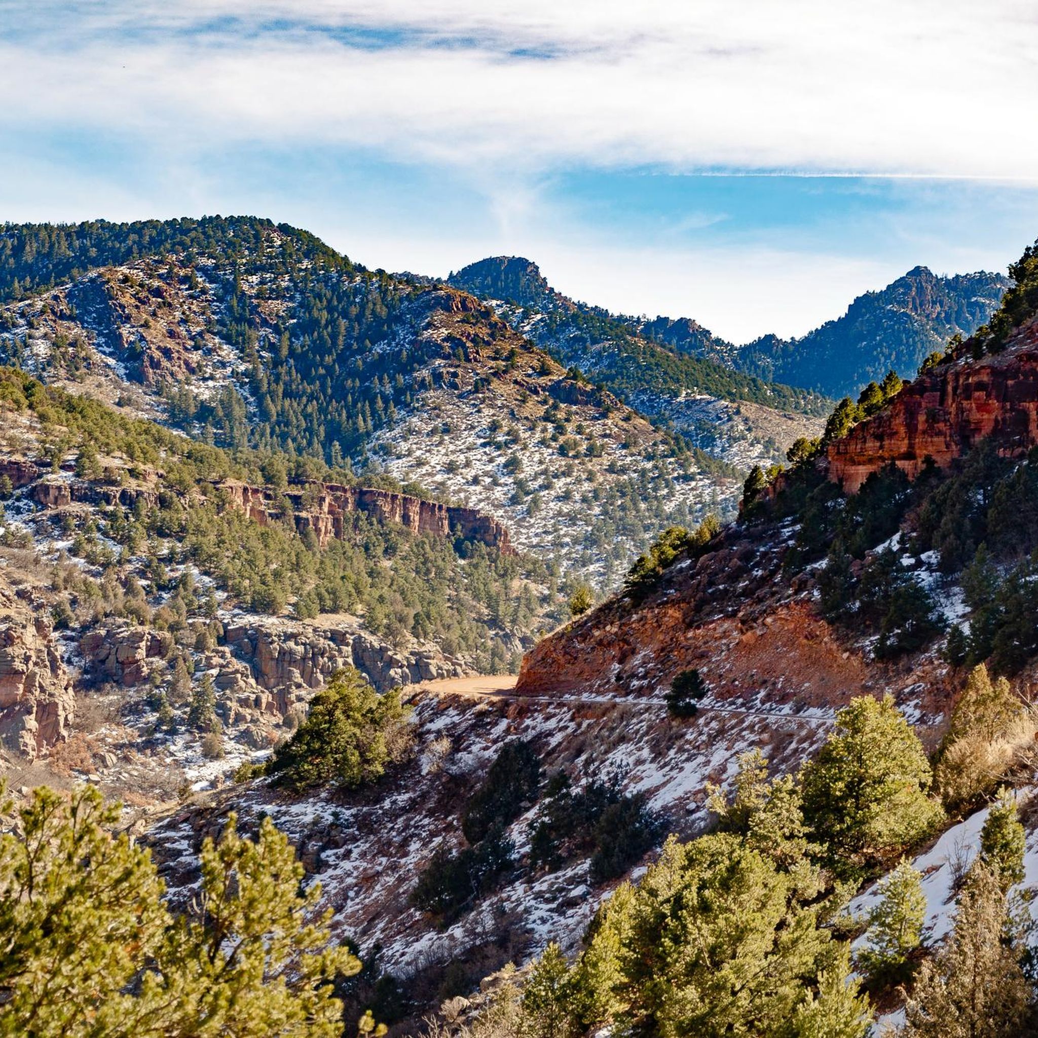
Here you can find peace and relaxation in a beautiful landscape that always reminds me of the ochre cliffs of Roussillon in France.
1
0
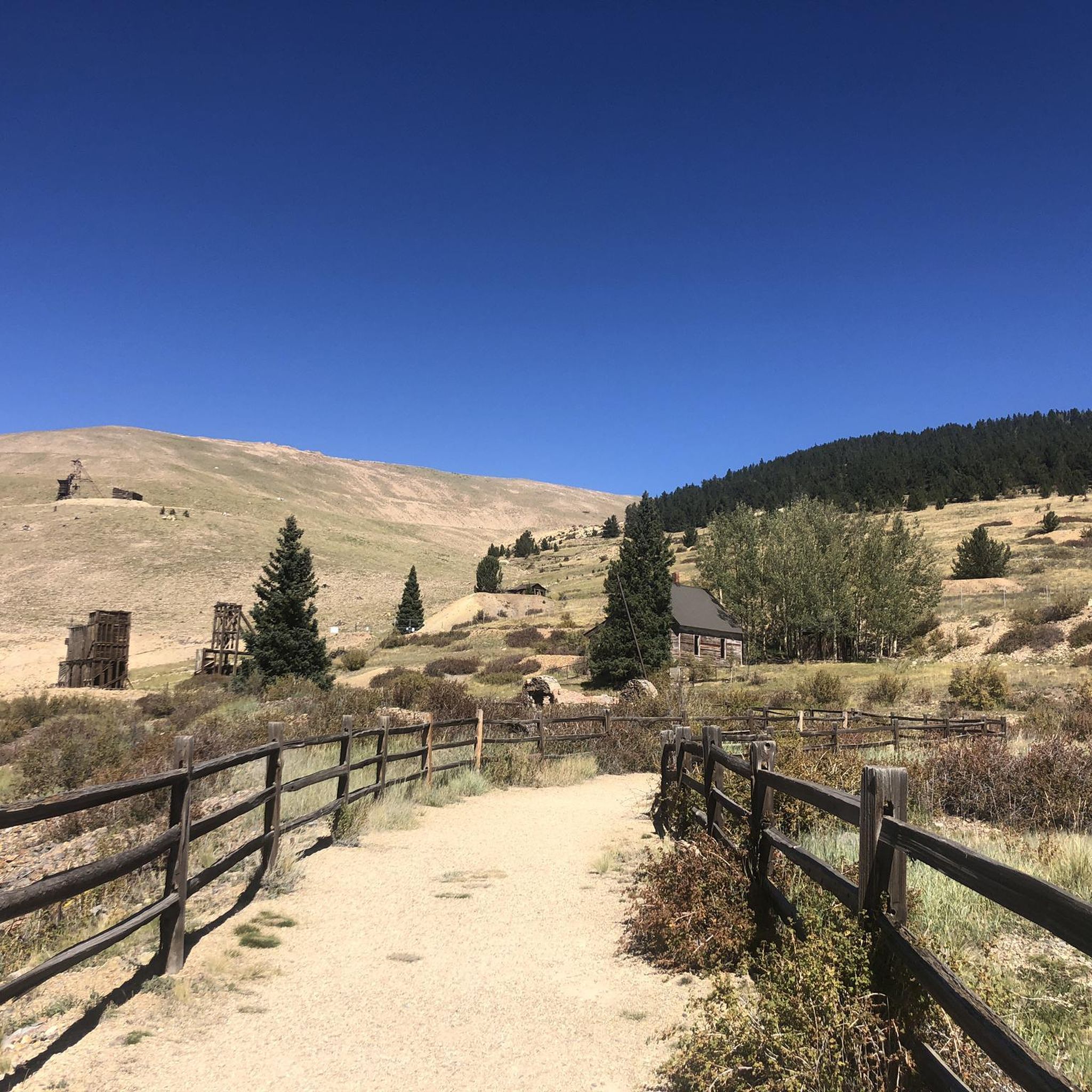
Giants that have withstood the test of time and erosion. We call it a Zeugenberg.
1
0

The Pikes Peak Greenway is a 16‑mile multi-use corridor that follows Monument Creek. The trail is a mix of pavement and dirt and is not too challenging.
1
0
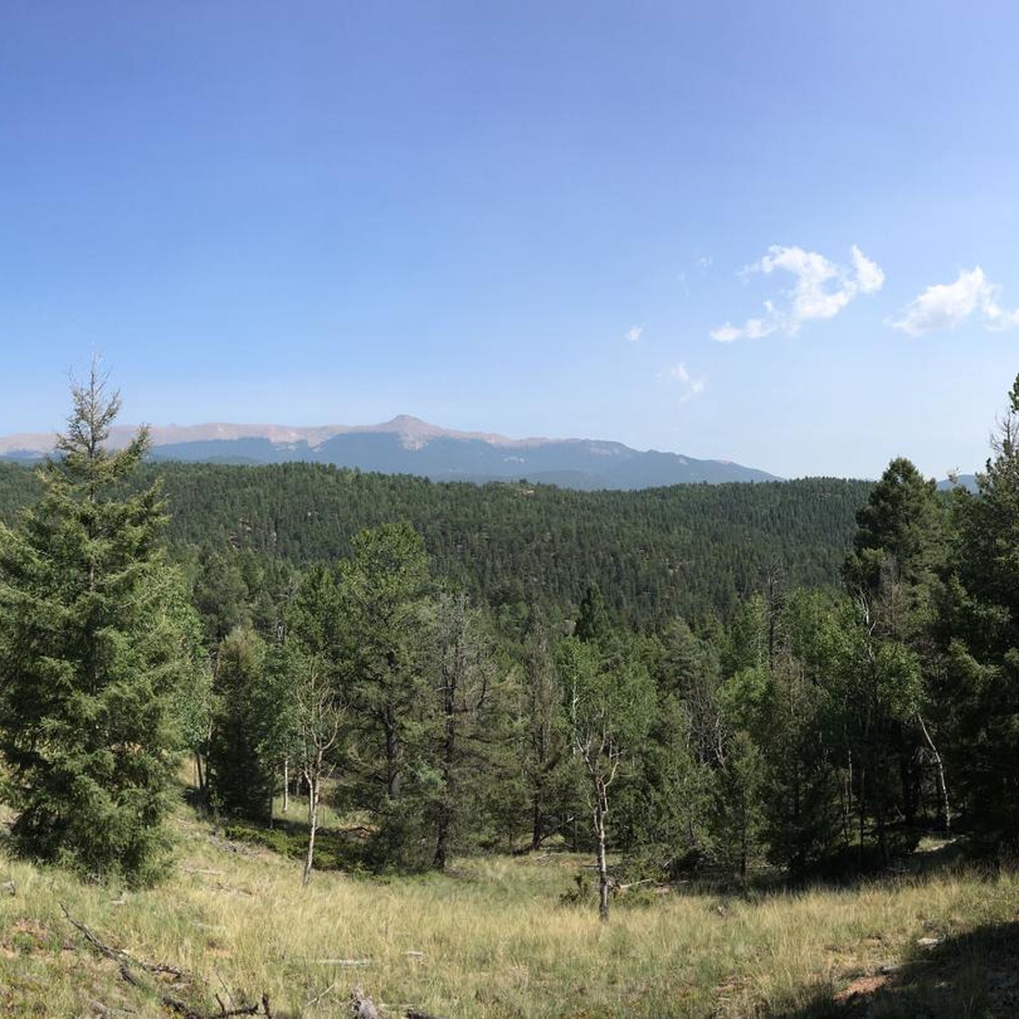
Great view of the Pikes Peak range from the Pikes Peak Greenway.
0
0


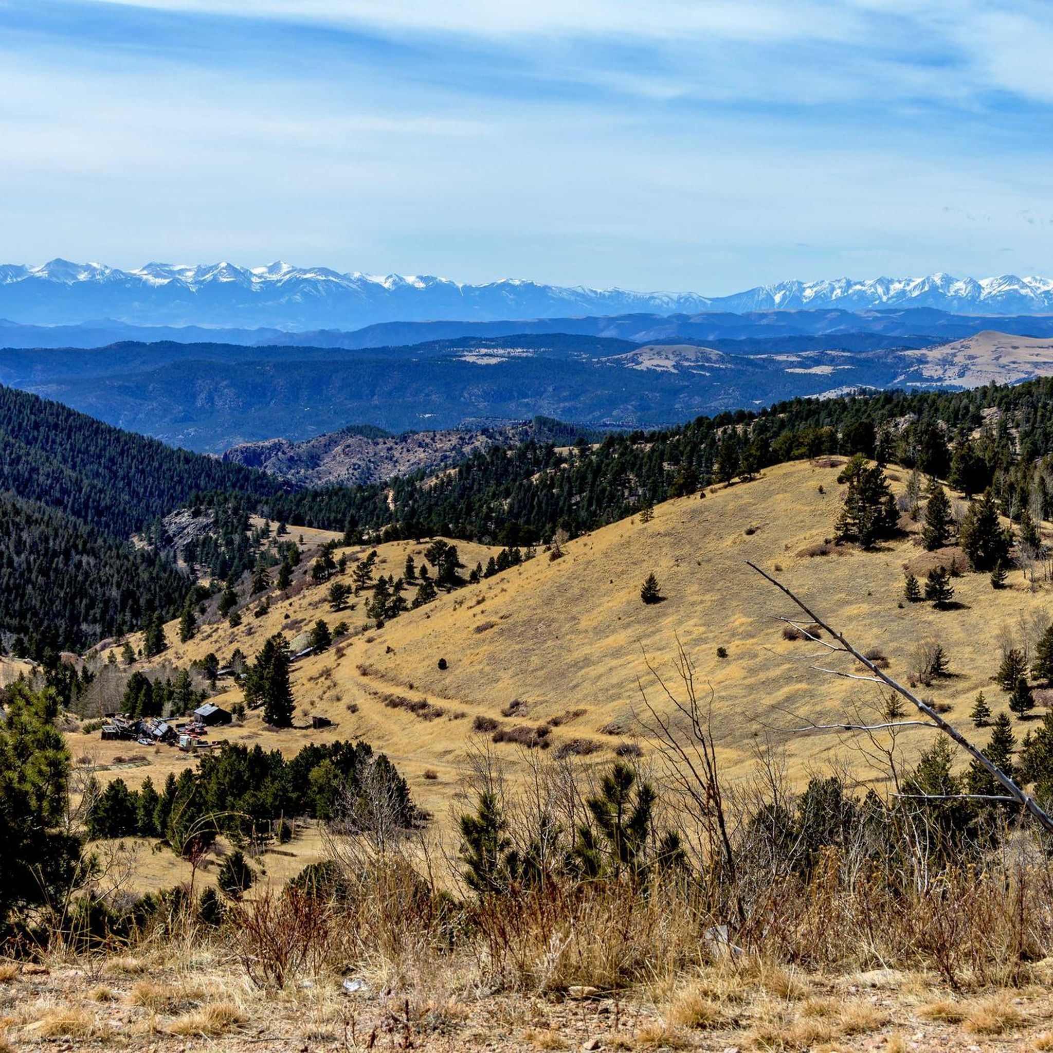
This trail primarily consists of softer dirt terrain with enjoyable elevation changes. Located on the outer edge of the Red Rock Rocks Open Space, it offers a full range view of the stunning rock formations against the backdrop of Pikes Peak.
0
0

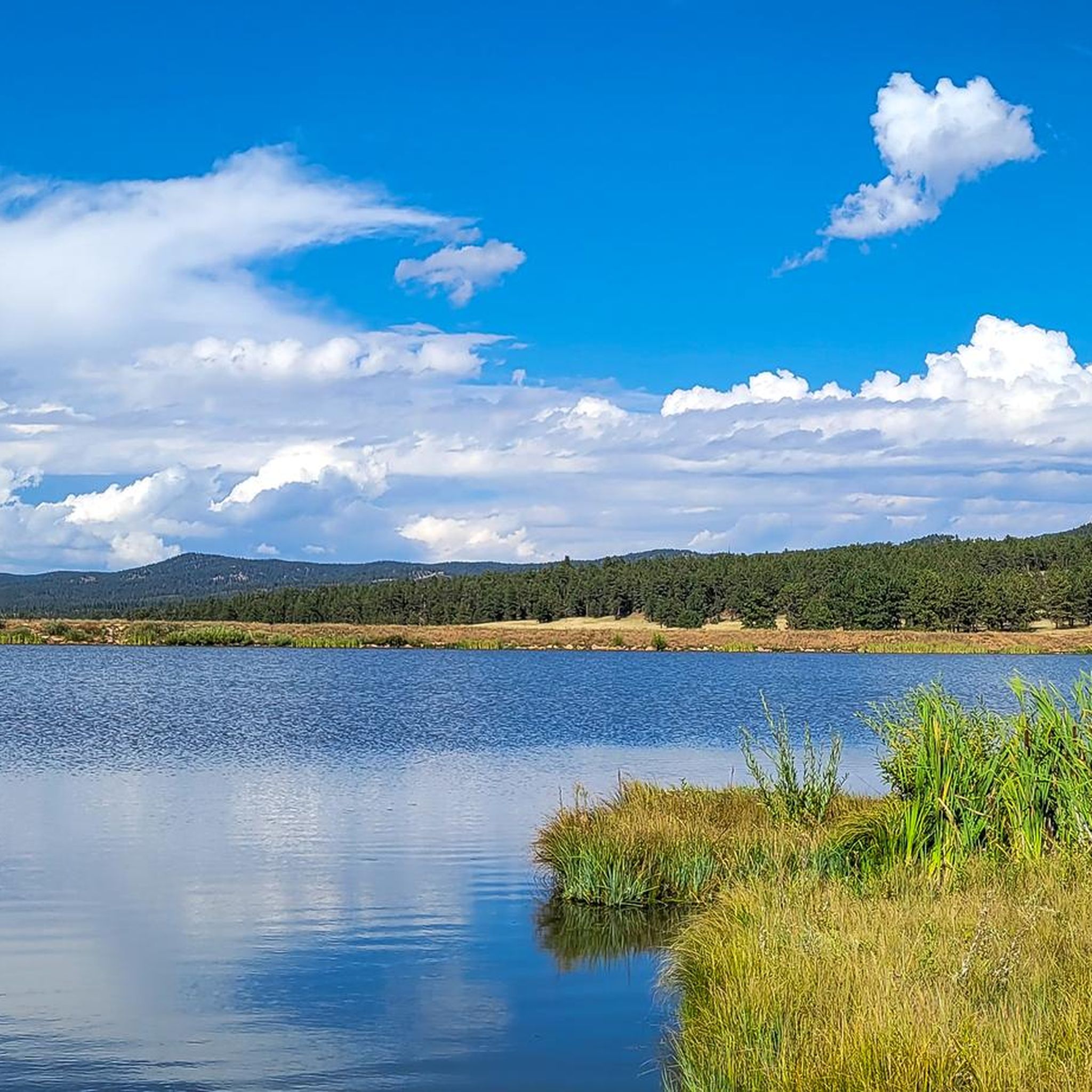
With the peaceful ponds in the foreground and snowy peaks in the back, the ponds are a lovely spot to take a break along your ride.
1
0
Frequently Asked Questions
Are there easy or beginner-friendly gravel bike trails in Teller County?
While many routes in Teller County feature significant elevation, there are options suitable for those looking for a more moderate experience. The New Sante Fe Regional Trail – Pikes Peak Greenway loop from Manitou Depot is a moderate 35.3-mile path that combines established greenway trails with scenic views towards Pikes Peak, making it a good choice for less experienced riders.
What are some challenging gravel bike routes in Teller County?
For experienced gravel bikers seeking a challenge, Teller County offers routes with substantial elevation gain. The Start of Phantom Canyon Road – Beacon Hill loop from Scenic Overlook is a demanding 65.0-mile trail with over 1,800 meters of ascent, taking you through a historic canyon. Another difficult option is the Red Rock Canyon Open Space – Red Rock Canyon Ponds loop from Manitou Depot, which covers 24.9 miles with nearly 900 meters of climbing through varied terrain.
When is the best time of year for gravel biking in Teller County?
Teller County's mountainous terrain means that late spring through early fall (May to October) generally offers the most favorable conditions for gravel biking, with warmer temperatures and less chance of snow. Always check local weather forecasts and trail conditions before heading out, especially at higher elevations.
Can I go gravel biking in Teller County during winter?
Winter gravel biking in Teller County can be challenging due to snow and ice, especially at higher elevations. Some lower-elevation trails or paved sections might be rideable, but conditions can change rapidly. It's crucial to be prepared for cold weather, potential snow, and icy patches, and to check current trail conditions and closures before planning a winter ride.
Are there many loop gravel bike trails in Teller County?
Yes, many of the popular gravel biking routes in Teller County are designed as loops, offering a continuous journey without needing to retrace your steps. Examples include the Start of Phantom Canyon Road – Beacon Hill loop and the New Sante Fe Regional Trail – Pikes Peak Greenway loop, allowing you to experience diverse scenery on a single ride.
What can I see along the gravel bike trails in Teller County?
Teller County's gravel routes often pass through scenic areas and near interesting landmarks. You might encounter natural monuments like The Big Stump or Pancake Rocks. Historic sites such as the Victor–Cripple Creek Scenic Route and Victor Historic Downtown are also accessible, offering a glimpse into the region's past.
Are there any specific points of interest or viewpoints along the routes?
Yes, several routes offer access to notable viewpoints and attractions. For instance, the Lone Eagle Overlook provides expansive views, and the Florissant Fossil Beds National Monument Visitor Center is a significant educational stop. You might also pass by unique features like the Small Bridge on Catamount Trail.
How many gravel bike trails are available in Teller County?
There are several gravel bike trails available in Teller County, with komoot featuring a selection of routes that showcase the region's diverse terrain. These include options ranging from moderate to difficult, catering to various skill levels.
What do other gravel bikers enjoy the most about gravel biking in Teller County?
The gravel biking routes in Teller County are highly rated by the komoot community, with an average score of 5.0 stars. Reviewers often praise the diverse mountainous terrain, the historic roads, and the designated open spaces that provide varied riding experiences.
Is it common to see wildlife while gravel biking in Teller County?
Teller County's natural environment, with its forested areas and open plains, provides habitat for various wildlife. While sightings are never guaranteed, it's possible to encounter deer, elk, and a variety of bird species, especially on quieter trails away from developed areas. Always maintain a respectful distance and do not disturb animals.
Where can I find parking for gravel biking trails in Teller County?
Specific parking information varies by trailhead. Many routes, particularly those starting from established towns or open spaces, will have designated parking areas. For routes like the Templeton Gap Trail – Popsicle Bridge loop, starting points in areas like Old Colorado City often have public parking available. Always check the route details on komoot for recommended starting points and parking suggestions.
Are there any gravel routes that offer views of Pikes Peak?
Yes, some gravel routes in Teller County provide excellent views of Pikes Peak. The New Sante Fe Regional Trail – Pikes Peak Greenway loop from Manitou Depot is specifically noted for combining established greenway paths with views towards Pikes Peak, offering a scenic backdrop to your ride.
Most popular routes in Teller County
Most popular attractions in Teller County

Get inspired with the komoot mobile app


Explore more
Browse the best Gravel rides in other regions.
