The best gravel rides around Mount Rainier
5.0
(4)
223
riders
7
rides
Gravel biking around Mount Rainier offers diverse terrain, characterized by its volcanic landscape, dense evergreen forests, and numerous river valleys. The region features significant elevation changes, transitioning from lower elevation forests to alpine meadows and rocky tundra. Riders can expect paths ranging from well-maintained forest roads to more rugged, unpaved trails. This environment supports a range of gravel biking experiences, from leisurely rides to more demanding expeditions.
Best gravel bike trails around Mount Rainier
- The most popular gravel bike trail…
Last updated: July 5, 2026
5.0
(4)
104
riders
This popular gravel biking route takes you from the urban energy of Dupont Circle to the natural splendor of Great Falls, offering a diverse and engaging ride. You'll spend much…
7
riders
Moderate gravel ride. Good fitness required. Mostly paved surfaces. Suitable for all skill levels.
Get access to more routes and recommendations from other explorers.
Sign up for free
Already have an account?
Our route recommendations are based on thousands of hikes, rides, and runs completed by other people on komoot.
Start today with a free account
Your next adventure awaits.
Login or Signup


Tips from the Community


Enjoy easy access to the Great Falls, a popular destination for photographers, hikers, and expert kayakers. Though not exceptionally tall, the falls surge with force as the Potomac River carves through ancient, metamorphic rock.
1
0

Located at mile 14.3 on the C&O Canal Towpath in Potomac, Maryland, Great Falls Park is a must-visit highlight for hikers, cyclists, and history buffs alike. A short boardwalk leads to the Olmsted Island overlook, where the Potomac River dramatically crashes over jagged rocks—one of the most scenic views near D.C. For hikers, the popular Billy Goat Trail offers three segments, with Section A featuring challenging rock scrambles and breathtaking river views. The historic Great Falls Tavern, built in 1829, now serves as a visitor center and launch point for seasonal mule-drawn canal boat rides. The towpath itself is flat and easy to navigate, ideal for walking or biking. Amenities include restrooms, picnic spots, and interpretive exhibits. Parking is available at the visitor center (fee required), or you can park for free at nearby Swains Lock and walk or ride 2.5 miles to the falls.
1
0
Peirce Mill, built in 1829 by Isaac Peirce on Rock Creek, once used water to power this mill that processed corn, wheat, and rye until its turbine shaft broke in 1897. Situated on a 960-acre plantation operated with slave labor, the mill became part of Rock Creek Park in 1890 through an Act of Congress. By the early 1900s, park managers enhanced the site with roads, bridges, and a dam. The New Deal legislation gave Rock Creek Park to the National Park Service in 1933, and the mill was restored. Today, visitors can explore the site, which includes parking, a visitor center, bathrooms, and a picnic area, as part of Rock Creek Park’s year-round attractions.
1
0
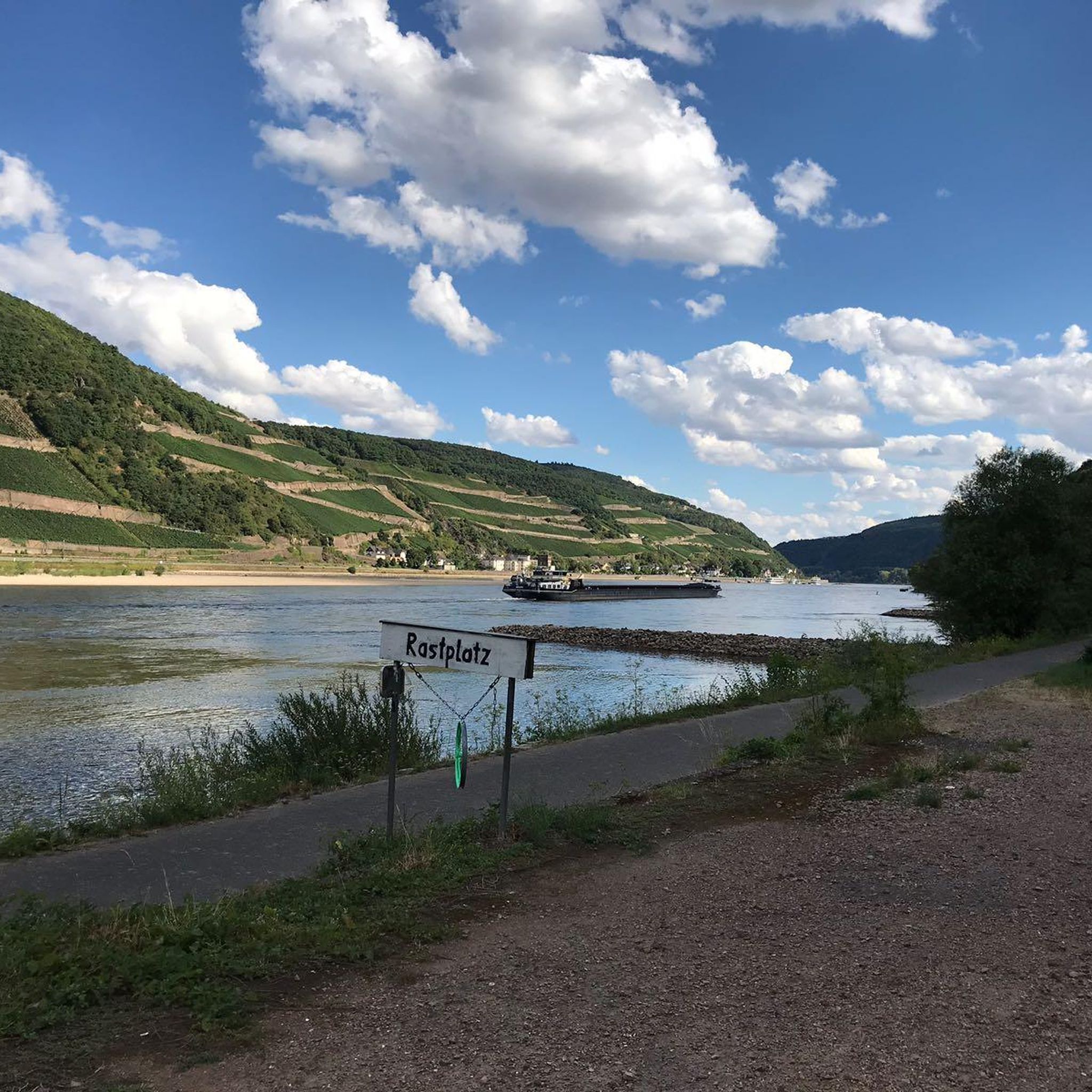
The Potomac River, stretching 405 miles from the Potomac Highlands in West Virginia to Maryland's Chesapeake Bay, ranks as the fourth-largest river on the East Coast. Swimming is prohibited in the District of Columbia's portion of the river. George Washington envisioned the Potomac as "the great avenue into the Western Country," and it played a central role in his life, serving as a vital hub during his era. For scenic views of the Potomac River on a bike, follow the Capital Crescent Trail, the Chesapeake and Ohio Canal Trail, or the Potomac Heritage National Scenic Trail.
0
0
Great Falls has a scenic Horseshoe Bend where the river curves in a horseshoe shape around a rocky outcrop. It's a nice spot to stop for photos on the Chesapeake and Ohio Canal Trail.
0
0

The water mill, built in 1829, was later expanded and a sawmill was added. The history of the building can be read here: https://www.nps.gov/places/peirce-mill.htm The son of the builder, Isaac Peirce, built a property worth seeing a little further down the river.
3
0

This is a cyclist heaven. Largely closed to vehicular traffic, very gradual incline going north and perfectly smooth tarmac. Excellent for testing your functional threshold. Combine with the hilly side roads and your get a full workout in a wooded, picturesque nature landscape, right in the heart of DC. I feel blessed and grateful every time I ride here!
3
0
Frequently Asked Questions
How many gravel bike trails are available around Mount Rainier?
There are 6 gravel bike trails documented around Mount Rainier on komoot, all offering a moderate challenge. These routes are characterized by the region's volcanic landscape, dense evergreen forests, and river valleys.
Are there any beginner-friendly gravel bike routes in the Mount Rainier area?
While most routes around Mount Rainier are rated as moderate, there is one route that is considered easy: Potomac River – Crossing Over the C&O Canal loop from Foggy Bottom–GWU. This 11.4-mile trail offers riverfront scenery and access to the C&O Canal towpath, making it a good option for those seeking a less challenging ride.
What kind of terrain can I expect on gravel bike trails near Mount Rainier?
Gravel biking around Mount Rainier features diverse terrain, including volcanic foothills, dense evergreen forests, and riverine sections. You'll encounter paths ranging from well-maintained forest roads to more rugged, unpaved trails, providing a varied experience for riders.
Are there any loop gravel bike routes around Mount Rainier?
Yes, several routes are loops. For example, the Francis Scott Key Bridge – Horseshoe Bend at Great Falls loop from Dupont Circle is a 30-mile loop, and the Crossing Over the C&O Canal – Francis Scott Key Bridge loop from Woodley Park is a 21.5-mile loop. These offer circular journeys back to your starting point.
What do other gravel bikers enjoy most about the trails in Mount Rainier?
The gravel biking routes around Mount Rainier are highly rated by the komoot community, with an average score of 5.0 stars from over 4 reviews. Riders often praise the diverse terrain, combining urban and natural landscapes, and the scenic views along the Potomac River and C&O Canal.
Are there any notable landmarks or attractions I can see while gravel biking near Mount Rainier?
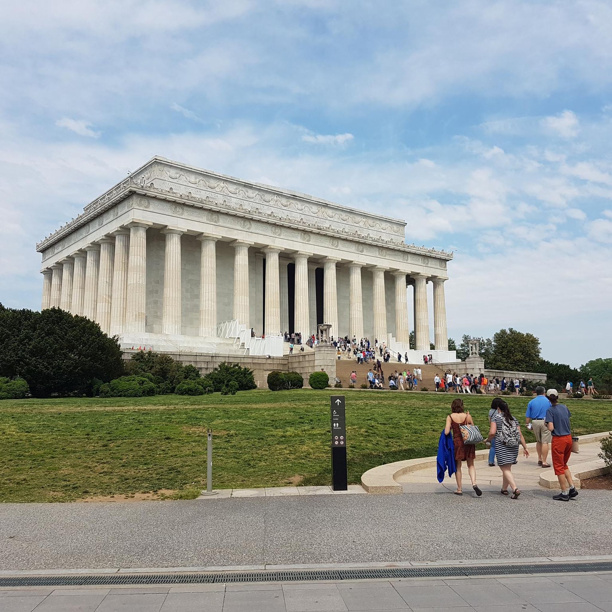
While gravel biking, you can explore several significant landmarks. The Francis Scott Key Bridge – Horseshoe Bend at Great Falls loop from Dupont Circle takes you past the historic Francis Scott Key Bridge. Other routes offer views of the Potomac River and the C&O Canal. For specific attractions in the broader region, you might consider visiting the Lincoln Memorial or Washington Monument, though these are not directly on the gravel routes listed.
What is the longest gravel bike route available in this guide?
The longest route featured is the Beach Drive, Rock Creek Park – Francis Scott Key Bridge loop from Shaw–Howard University, covering 36.9 miles (59.4 km). This moderate route includes sections of Beach Drive and Rock Creek Park.
Are there any routes that pass through Rock Creek Park?
Yes, the Beach Drive, Rock Creek Park – Francis Scott Key Bridge loop from Shaw–Howard University specifically includes sections of Rock Creek Park. This park is also a notable natural monument in the wider region, offering forested areas for exploration.
What are some scenic viewpoints or natural features along these gravel trails?
Many routes offer scenic views along the Potomac River and the C&O Canal. For instance, the Francis Scott Key Bridge – Horseshoe Bend at Great Falls loop from Dupont Circle provides views of Horseshoe Bend at Great Falls. The region's volcanic landscape and dense evergreen forests also contribute to the scenic beauty.
Are there any routes that combine urban and natural landscapes?
Yes, several routes offer a mix of urban and natural scenery. The Francis Scott Key Bridge – Horseshoe Bend at Great Falls loop from Dupont Circle is a prime example, featuring both city elements and natural landscapes along the Potomac River.
How much elevation gain can I expect on these gravel bike trails?
The elevation gain varies by route. For example, the Beach Drive, Rock Creek Park – Francis Scott Key Bridge loop from Shaw–Howard University has an elevation gain of approximately 341 meters, while the Potomac River – Crossing Over the C&O Canal loop from Foggy Bottom–GWU has about 80 meters of elevation gain. Most routes feature moderate ascents and descents.
Most popular attractions around Mount Rainier

Get inspired with the komoot mobile app


Explore more
Browse the best Gravel rides in other regions.
