The best mountain hikes in Forêt De Rhonne
5.0
(6)
56
hikers
4
hikes
Mountaineering routes in Forêt De Rhonne are characterized by varied forest landscapes and significant elevation changes, offering challenging ascents within the broader Auvergne-Rhône-Alpes region. The terrain includes dense woodlands and paths that lead to higher alpine environments, providing a diverse experience for mountaineers. While the immediate Forêt De Rhonne area is known for its forest walks, the mountaineering routes listed here venture into more demanding, mountainous terrain.
Best mountaineering routes in Forêt De Rhonne
- The most popular mountaineering route is…
Last updated: July 10, 2026
5
hikers
18.3km
06:46
1,040m
1,040m
Hard mountaineering route. Very good fitness required. Mostly accessible paths. Sure-footedness required.
5.0
(1)
8
hikers
6.05km
03:44
690m
690m
Moderate mountaineering route. Good fitness required. Mostly accessible paths. Sure-footedness required.

Sign up for free
5.0
(1)
3
hikers
8.36km
04:17
700m
710m
Hard mountaineering route. Good fitness required. Sure-footedness, sturdy shoes and alpine experience required.
5
hikers
7.70km
04:30
820m
810m
Hard mountaineering route. Good fitness required. Sure-footedness, sturdy shoes and alpine experience required.
5.0
(2)
21
hikers
10.7km
04:43
970m
970m
Hard mountaineering route. Very good fitness required. Mostly accessible paths. Sure-footedness required.
Our route recommendations are based on thousands of hikes, rides, and runs completed by other people on komoot.
Start today with a free account
Your next adventure awaits.
Login or Signup
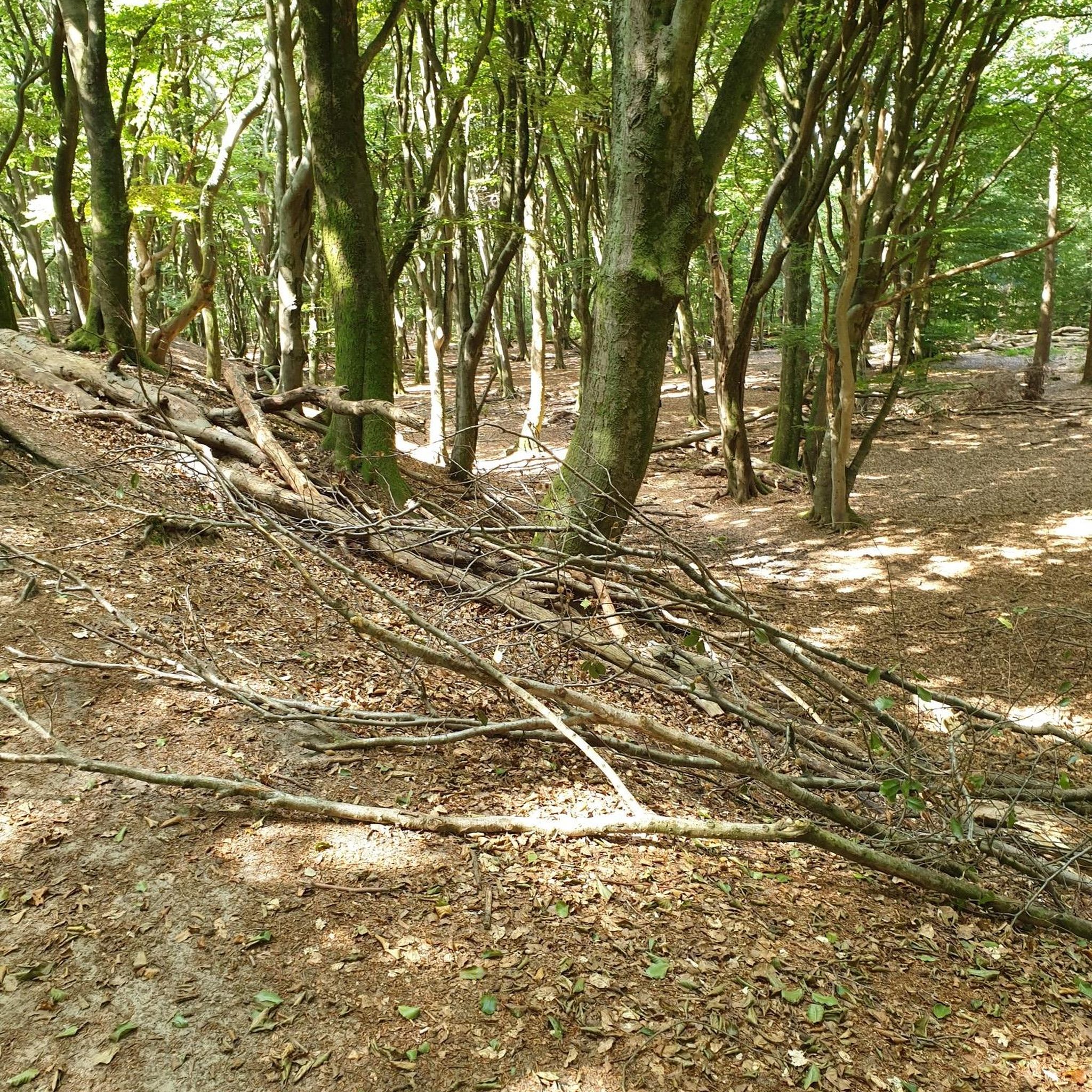
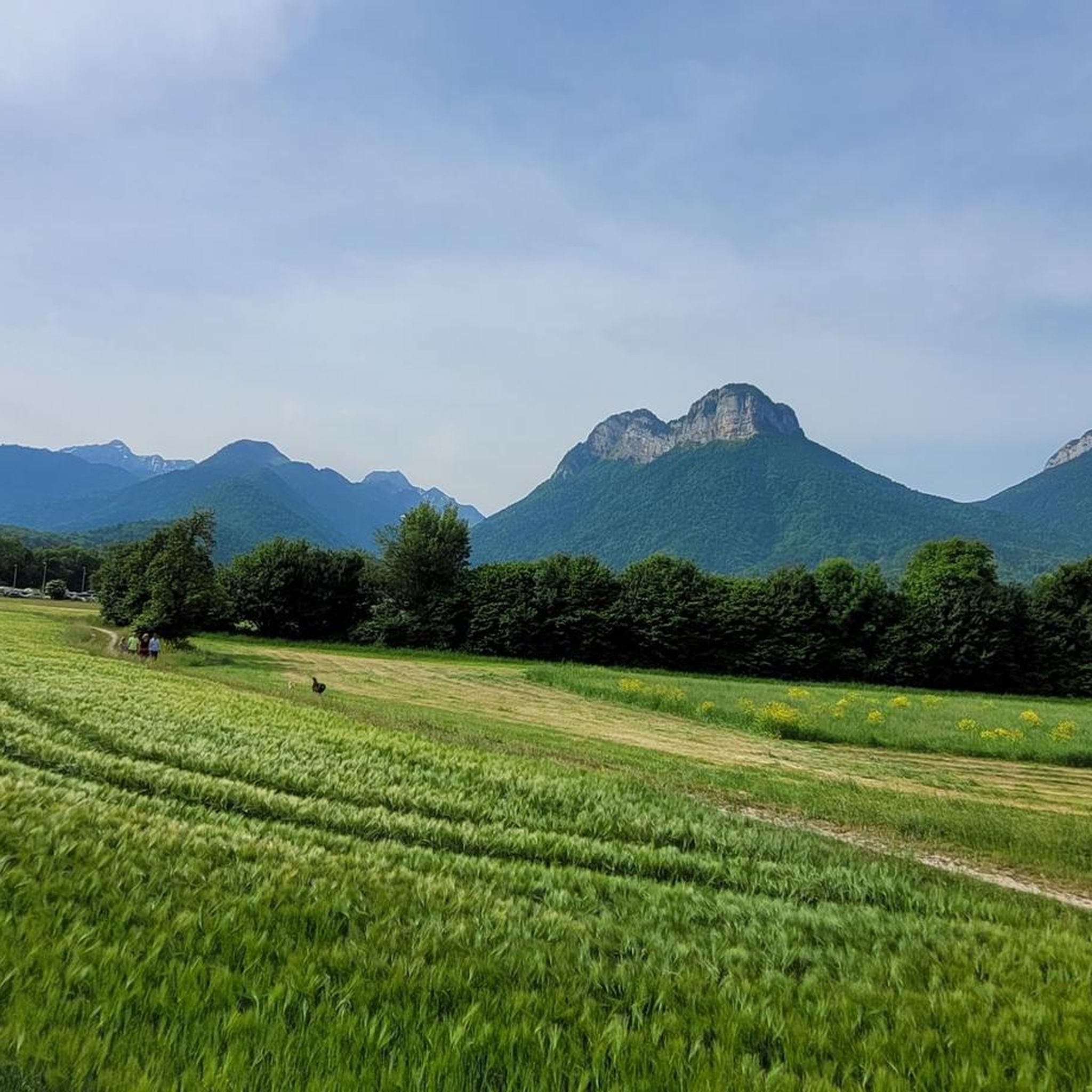
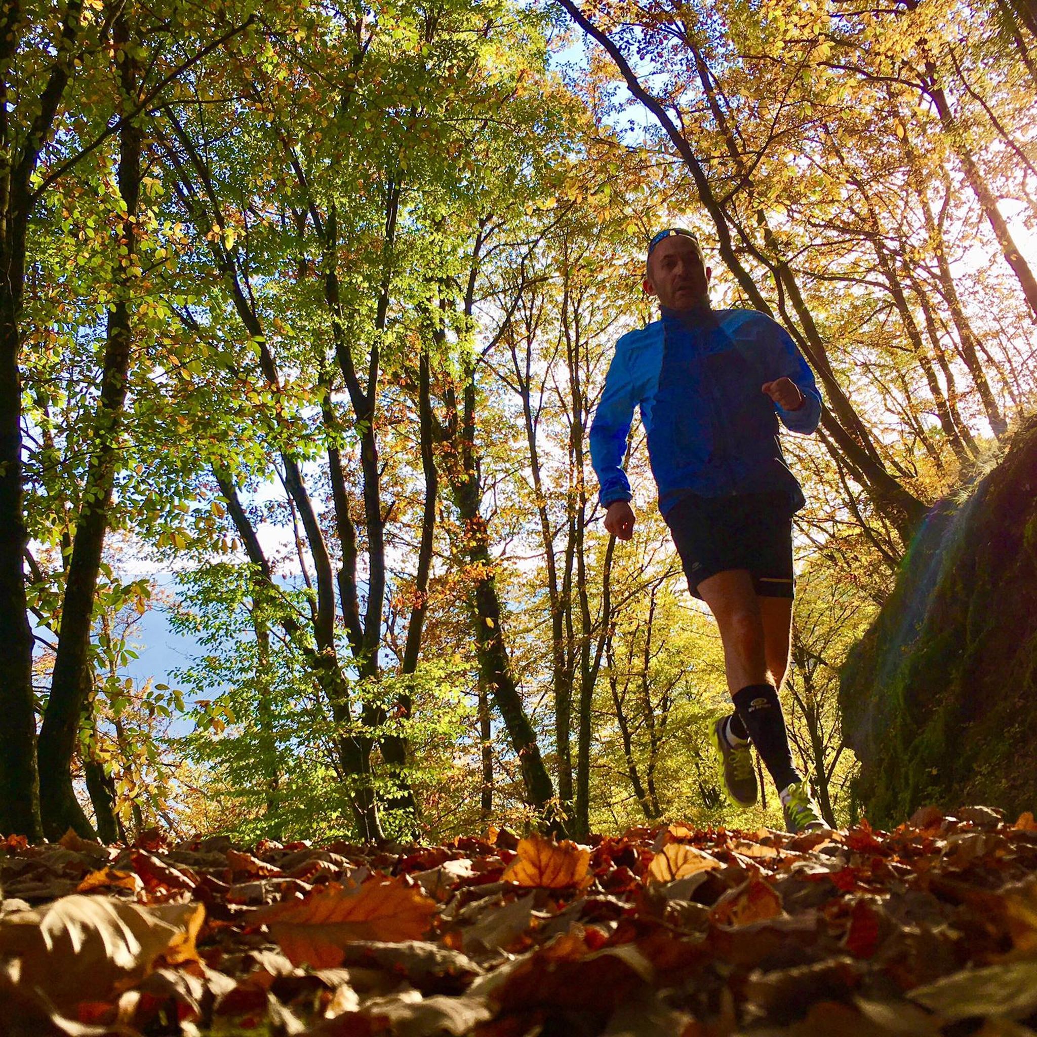
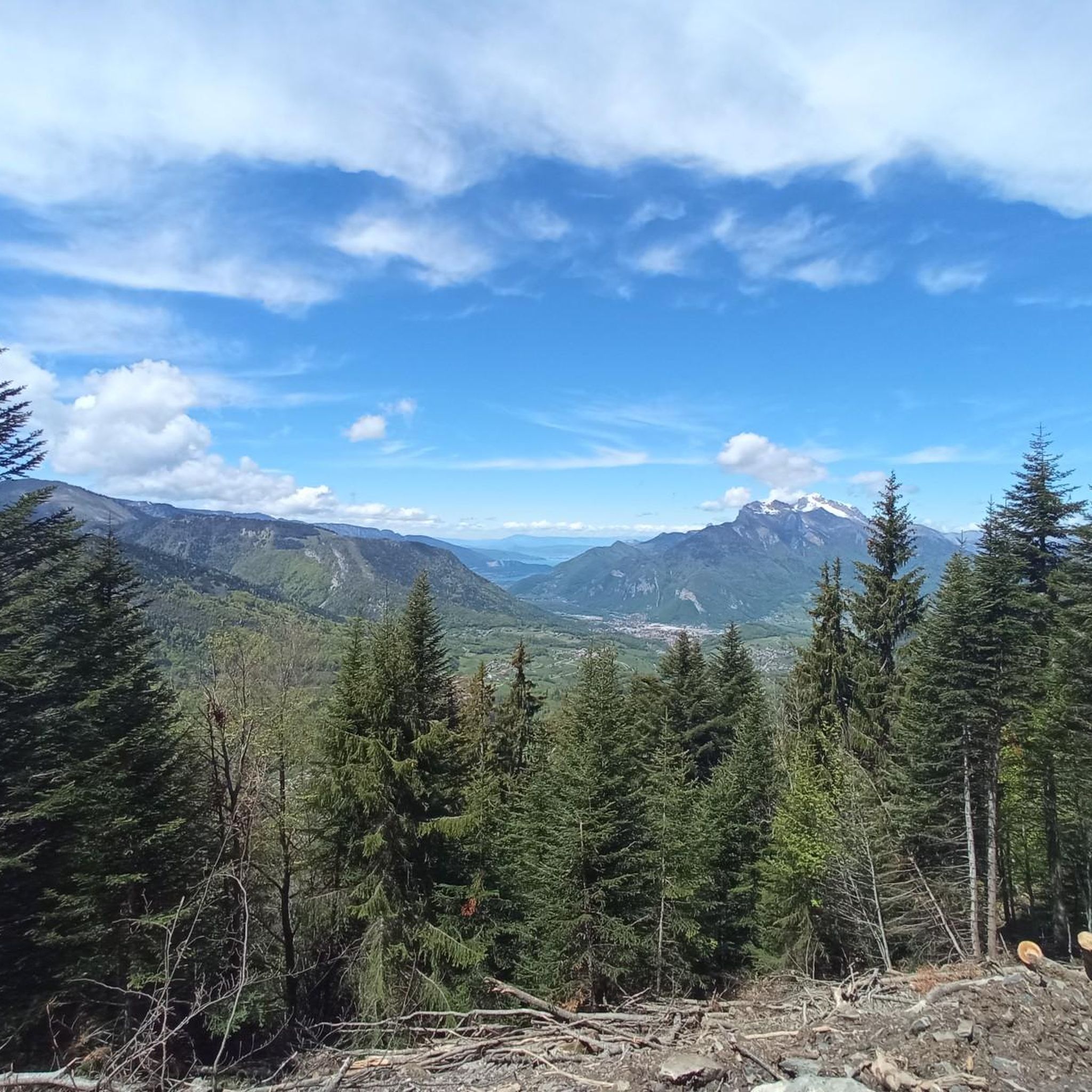

Tips from the Community

Beautiful view towards Mount Bellacha and the Grand Arc.
0
0

Amazing views on mount blanc, lac d’ annecy and more beautiful landscape! 😍 Attention, only take the path across the ridge to the chalet de L’Alpettaz if you are a really experienced hiker and like to get some adrenaline. It is super narrow and partly really dangerous. After finishing the dangerous part there is high grass through which the hike continues.
1
0

Chalet under renovation but part of it nevertheless provides shelter.
0
0
Access is quite physical but you are largely rewarded by the sumptuous 360° landscapes once at the top 🤩
1
0

Refuge les Arolles stands in an elevated position with views down into the valley and up towards La Légette du Grand Mont. Open in July and August serving drinks, snacks and meals, you can also stay here if you book in advance. The Piapolay chairlift links the village of Le Planay to a platform just below the refuge. If you take this rather than running, you'll save 1.8 kilometres (1.1 mi) of distance and 675 metres (2,215 ft) of ascent.
0
0

It is a tricky short walk that takes longer than stated. We needed to scramble on parts of the ascent along a mountain ridge on the very thin trail, and the path was not always obvious on some of the ridge sections. The descent is also very steep towards the end, though thankfully this very steep section is fairly short. The lake was more of a quagmire when we walked it in early September. Not your usual crystal clear mountain lake and not particularly photogenic! Enjoyable, but for the length of the walk I would say it’s a harder intermediate.
0
0

An incredible view! Relatively aerial trail with a few wired passages. But this ridge is worth the detour! Be careful though, you will necessarily want to follow it to the Belle Étoile
0
0

Very nice view with an outstanding 360° Alpine panorama! Coming from the north via Le pas de l'âne, don't underestimate the difficulty of the ridge. At the end of February there was still a lot of snow and the fuses are not in place over the entire length. In parts, the hike has more of a via ferrata character. The ridge is sometimes very narrow and it feels like several hundred meters down to the left and right. But if you are prepared for it and are used to challenging terrain, then it is a super nice hike and absolutely recommendable!
0
0
Frequently Asked Questions
How many mountaineering routes are available in Forêt De Rhonne?
There are 4 dedicated mountaineering routes in Forêt De Rhonne, offering a range of challenges for different skill levels.
What are the difficulty levels of mountaineering routes in Forêt De Rhonne?
The mountaineering routes in Forêt De Rhonne are categorized as either moderate or difficult. You'll find 2 moderate routes and 2 difficult routes, ensuring options for varying experience levels.
Are there any circular mountaineering routes in Forêt De Rhonne?
Yes, several routes are designed as loops. For example, the Lac de Lavouet – Lac Sans Fond loop from La Bâthie is a difficult 19.2 km circular trail, offering diverse alpine scenery.
What kind of terrain can I expect on these mountaineering routes?
The routes in Forêt De Rhonne feature varied forest landscapes, dense woodlands, and paths that lead to more demanding, mountainous terrain. You can expect significant elevation changes and some paths may be covered in fallen leaves and moss, requiring attention to foot placement.
What do other mountaineers say about the routes in Forêt De Rhonne?
The mountaineering routes in Forêt De Rhonne are highly regarded by the komoot community, with an average rating of 4.8 stars from 8 reviews. Mountaineers often praise the challenging ascents and the diverse natural environment.
Are there options for less experienced mountaineers?
While the routes are generally moderate to difficult, less experienced mountaineers can consider the moderate options available. For instance, the Col d'Orgeval loop from Réserve biologique intégrale du Haut Chéran is a moderate 10.7 km trail that offers panoramic views through forested slopes.
What are some of the longer mountaineering routes in the area?
The longest mountaineering route listed is the Lac de Lavouet – Lac Sans Fond loop from La Bâthie, which spans 19.2 km and involves over 1,100 meters of elevation gain.
Is Forêt De Rhonne suitable for advanced mountaineers?
Yes, advanced mountaineers will find challenging options with significant elevation gains. Routes like the Dent de Cons – Col de L'Alpettaz loop from Fort de la batterie Marthod, a difficult 7.7 km route with over 800 meters of ascent, provide a demanding experience.
What is the best time of year for mountaineering in Forêt De Rhonne?
Given the forest and mountainous terrain, spring to autumn generally offers the most favorable conditions for mountaineering in Forêt De Rhonne, avoiding heavy snow and ice. Always check local weather forecasts before heading out.
Are there any specific natural features or viewpoints to look out for?
The routes often traverse dense forests and lead to points offering panoramic views of the surrounding alpine scenery. While specific named viewpoints aren't detailed for these routes, the significant elevation gains ensure rewarding vistas.
How does mountaineering in Forêt De Rhonne compare to the wider Auvergne-Rhône-Alpes region?
While Forêt De Rhonne itself offers challenging forest and mountain walks, the wider Auvergne-Rhône-Alpes region, encompassing the French Alps, is a premier destination for high-altitude mountaineering. Iconic peaks like Mont Blanc and extensive alpine massifs provide more technical and high-alpine experiences for experienced mountaineers.
What about parking for these routes?
Specific parking details for each route are typically available on the individual tour pages. For example, the Croix Perillet and Chevron loop from Plancherine starts from Plancherine, where local parking options would be available.
Most popular routes in Forêt De Rhonne

Get inspired with the komoot mobile app


Explore more
Browse the best Mountain Hikes & Routes in other regions.
