The 7 Most Amazing Peaks around Bedburg
Best mountain peaks around Bedburg are characterized by rolling hills, wide fields, and forests, rather than prominent mountains. The geography of Bedburg Germany features an average elevation of around 77 meters, with a maximum elevation reaching approximately 185 meters. Elevated areas and viewpoints offer scenic perspectives and opportunities for recreation. Many of these locations have been shaped by post-mining recultivation efforts, contributing to the highest elevations near Bedburg Germany.
Best mountain peaks around Bedburg
- The most popular mountain peaks is Glessener Höhe — Summit Cross and Viewpoint, a summit that was recultivated from opencast mine masses and features a summit cross. It offers panoramic views towards Cologne and the Siebengebirge on clear days.
- Another must-see spot is Roman Tower at Sophienhöhe, a man-made monument. This replica of an ancient watchtower provides an all-round view from the recultivated Sophienhöhe.
- Visitors also love Stairway to Heaven, Glessener Höhe, a climb with more than 200 steps. This wooden plank staircase leads to the summit of Glessener Höhe, offering expansive views.
- Bedburg is known for recultivated spoil heaps, elevated viewpoints, and historical sites. These areas offer diverse opportunities for hiking and appreciating the local landscape.
- The mountain peaks around Bedburg are appreciated by the komoot community. The community has contributed more than 870 photos and given over 1600 upvotes to these locations.
Last updated: October 8, 2026
Roman Tower on Sophienhöhe
Highlight • Viewpoint
Translated by Google •
Tip by

View from Glessener Höhe
Highlight • Viewpoint
Translated by Google •
Tip by

Sign up now to discover places like this
Get recommendations on the best single tracks, peaks, & plenty of other exciting outdoor places.
Summit Cross Bethlehemer Höhe
Highlight • Summit
Translated by Google •
Tip by

St. Barbara Chapel
Highlight • Religious Site
I was surprised at the shape, but the text explained it, it's supposed to be reminiscent of old tunnels.
Translated by Google •
Tip by

Pielsjoch 115.3 m above sea level
Highlight • Summit
Translated by Google •
Tip by

Start today with a free account
Your next adventure awaits.
Popular around Bedburg
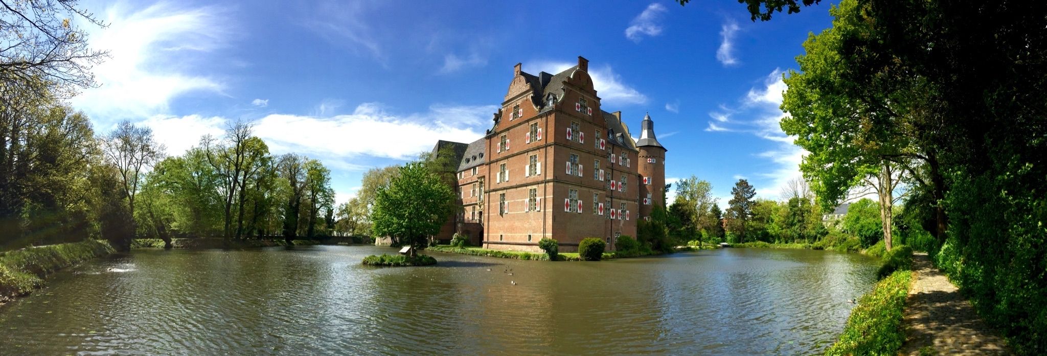
Wasserburgen-Route — A ride through Germany's Castle Country from the Rhine to the Eifel and back
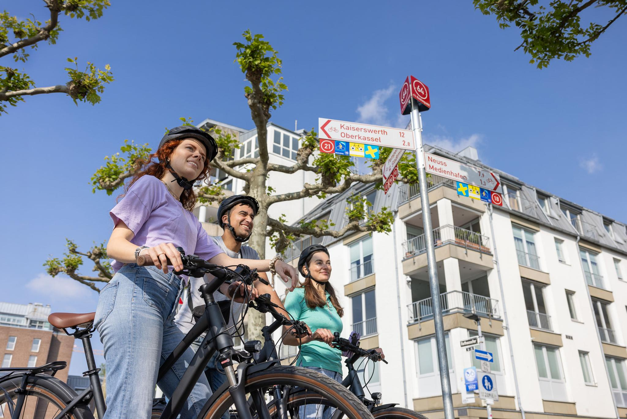
Cycling by Numbers – flexible rides in the Radregion Rheinland
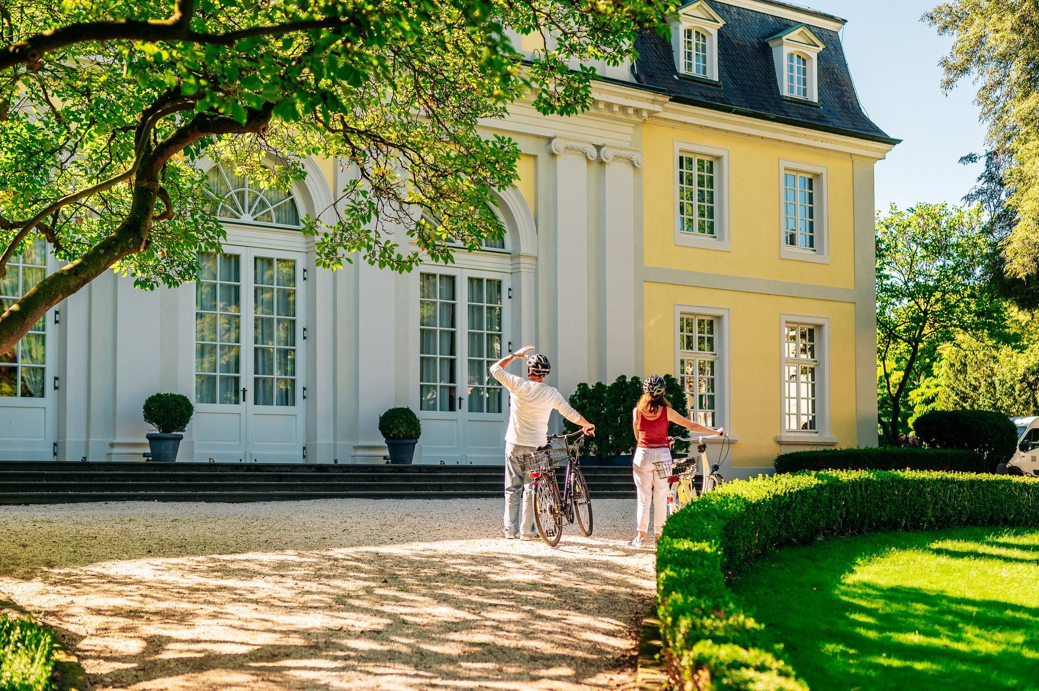
History in the Rhineland – cycling in the Rhineland cycling region
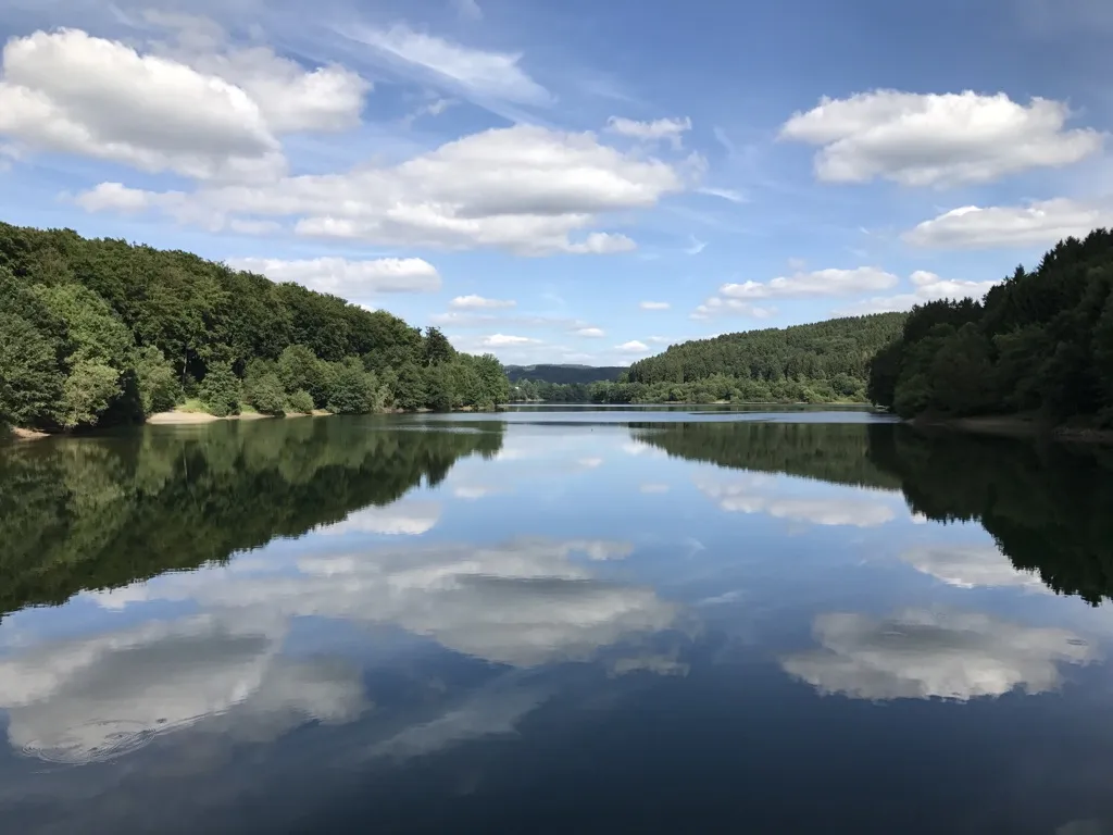
Auszeiten im Grünen – Entspannte Wanderungen im Rheinland
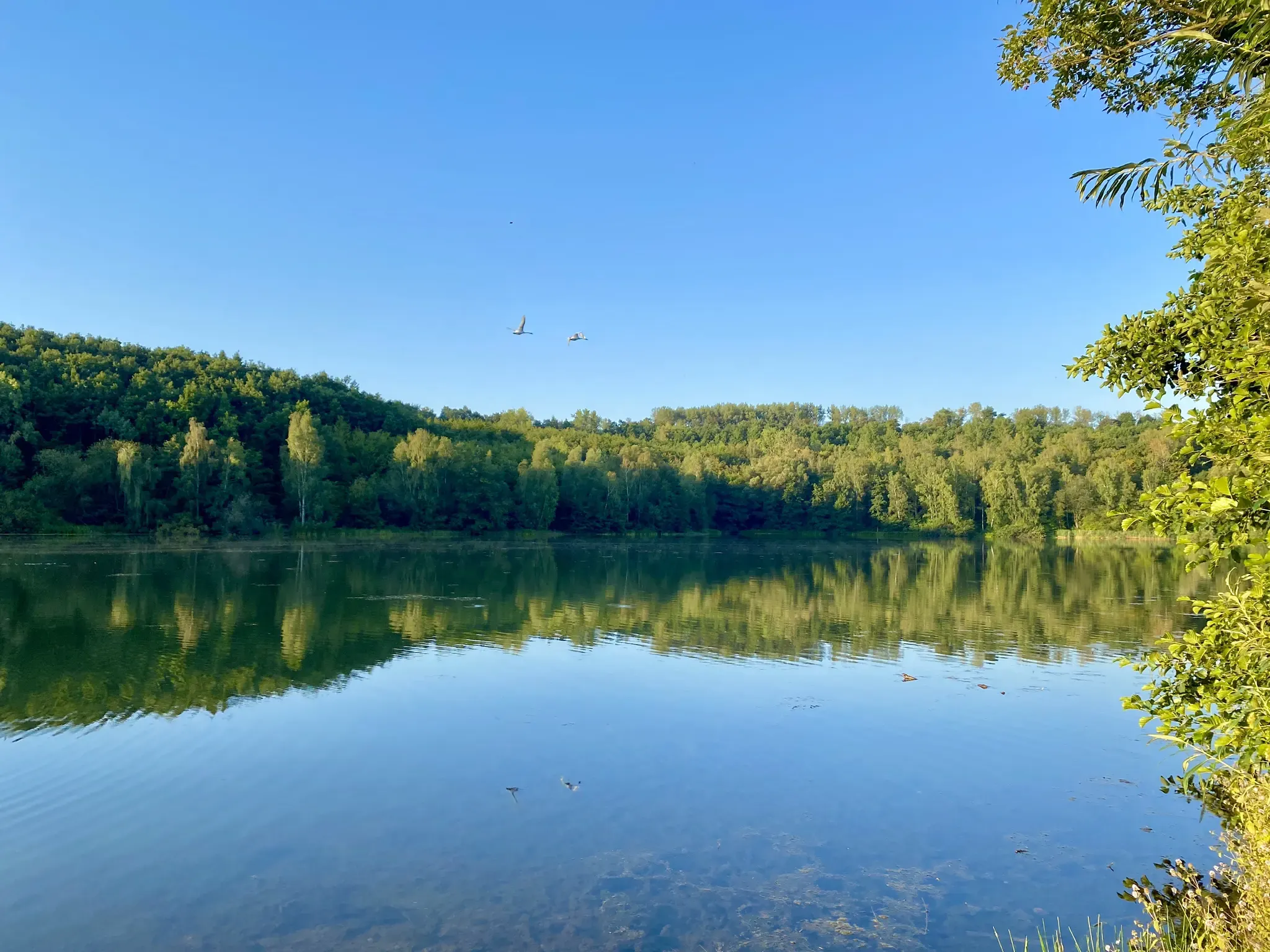
Mit Rosbacher auf Tour im Rheinland
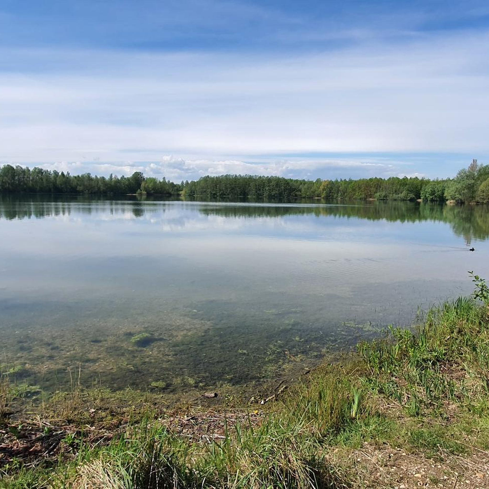
Hiking around Bedburg
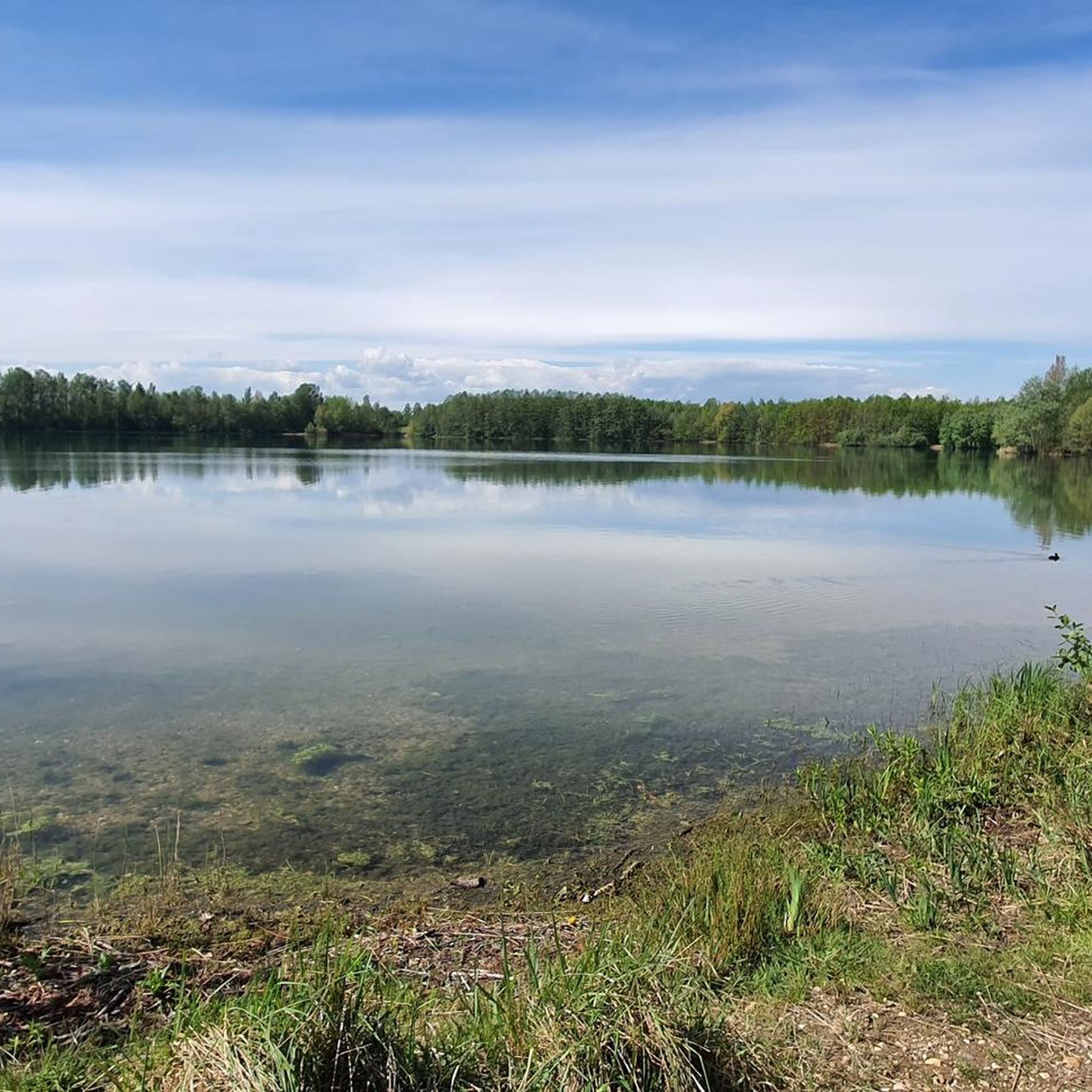
Cycling around Bedburg
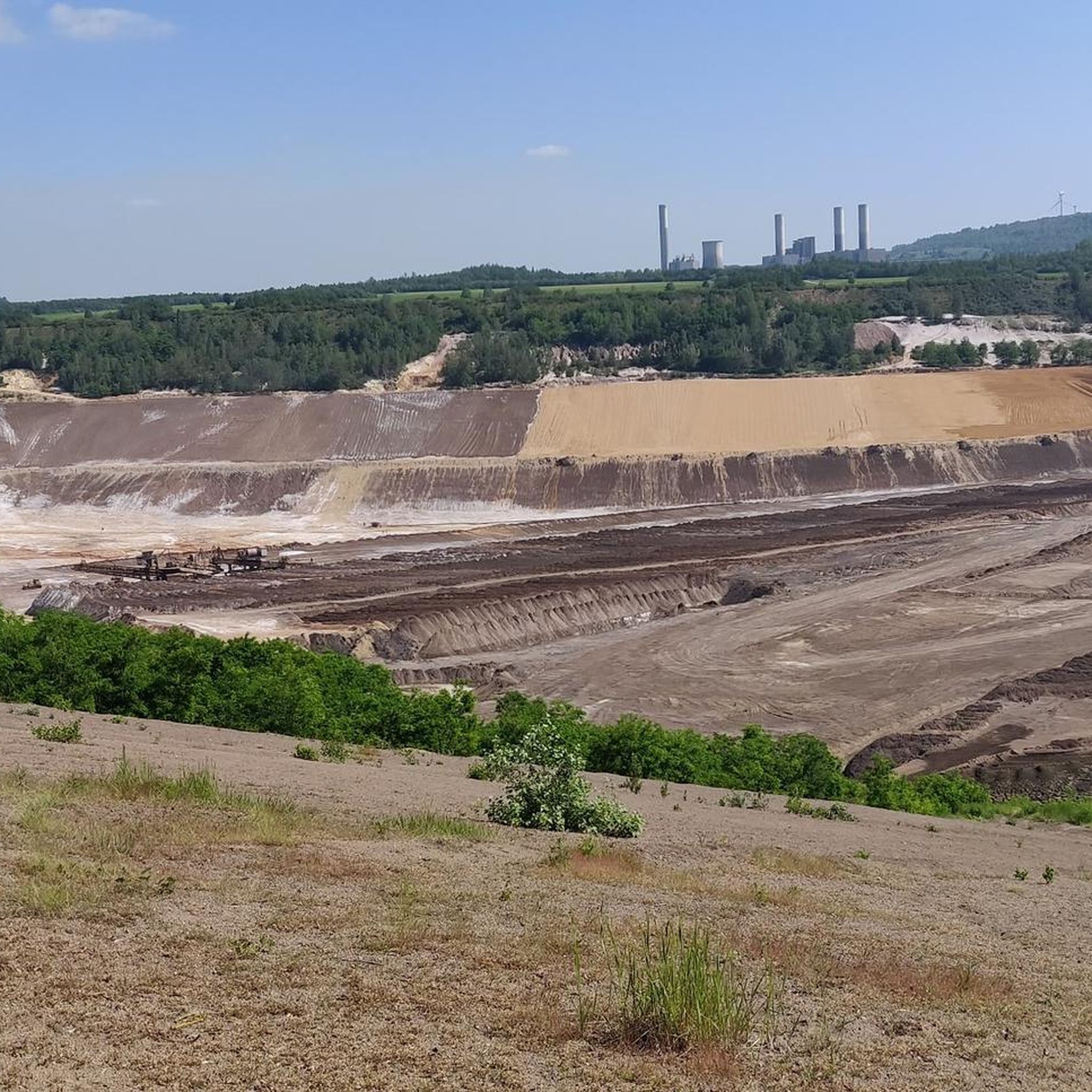
Running Trails around Bedburg
Road Cycling Routes around Bedburg
Gravel biking around Bedburg
Other adventures around Bedburg


Tips from the Community


Beautiful small, modernly designed chapel dedicated to Saint Barbara. There is a small, quiet bench here to rest, recharge your batteries, think and perhaps also have a quiet conversation.
2
0

The Sophienhöhe, also known as Monte Sophia, is a recultivated spoil heap created by the mining of lignite seams from the Hambach opencast mine.
14
0

Interesting location, but thanks to Komoot you can find everything!! I was surprised at the shape, but the text explained it, it's supposed to be reminiscent of old tunnels.
2
0
And the second cross is also reached :-) !! It is beautifully situated, I enjoyed my break there.
1
0

After the mining of the lignite and after the creation of the Königshovenerhöhe on the site of the former Pielsbusch, the Pielsjoch summit was created with a height of 115.3 m. A hiking trail goes over the Diesel summit.
1
0

The Roman tower on the Sophienhöhe is a replica of a watchtower that the Romans used to monitor the site in the 1st to 4th centuries.
13
0
Frequently Asked Questions
What are the most notable elevated areas or 'peaks' to visit around Bedburg?
While Bedburg doesn't have traditional mountain peaks, several elevated areas offer scenic views and recreational opportunities. Among the most popular are Glessener Höhe — Summit Cross and Viewpoint, a recultivated summit with panoramic views towards Cologne, and the Roman Tower on Sophienhöhe, a replica watchtower offering an all-round view from another recultivated spoil heap.
Are there any challenging climbs or unique ascents in the Bedburg area?
Yes, for a unique ascent, consider the Stairway to Heaven, Glessener Höhe. This wooden plank staircase features more than 200 steps leading to the summit of Glessener Höhe, providing expansive views and a rewarding climb. It's considered the highest elevation of the Villerücken and Rhein-Erft-Kreis.
What kind of views can I expect from the elevated points around Bedburg?
From elevated points like Glessener Höhe — Summit Cross and Viewpoint, you can enjoy panoramic vistas, often extending towards Cologne and the Siebengebirge on clear days. The Roman Tower on Sophienhöhe also provides an excellent all-round view of the surrounding recultivated landscapes.
Are there historical sites among the elevated areas near Bedburg?
Yes, the Roman Tower on Sophienhöhe is a notable historical site. It's a replica of an ancient watchtower that stood on the Roman Heerstrasse from Cologne to Aachen, offering both historical context and a great panoramic view from the recultivated Sophienhöhe.
What outdoor activities can I do near these elevated areas?
The recultivated landscapes around Bedburg are ideal for various outdoor activities. You can find numerous hiking trails, such as those around the Kasterer Lake area, and cycling routes. For more detailed information on routes, explore the Hiking around Bedburg and Cycling around Bedburg guides.
Are there family-friendly options for exploring the elevated areas?
Yes, many of the recultivated areas and their surrounding trails are suitable for families. The Kasterer Lake area, for instance, offers easy hikes and pleasant walks with various access points to the water, providing a relaxed experience for all ages. The general topography of rolling hills and forests makes for accessible exploration.
What is the significance of the recultivated landscapes around Bedburg?
The elevated areas around Bedburg, such as Glessener Höhe and Sophienhöhe, are significant examples of successful post-mining recultivation efforts. These landscapes, once part of lignite mining operations, have been transformed into natural and recreational areas, offering unique views and habitats while showcasing environmental restoration.
Can I find trails for different difficulty levels near Bedburg's elevated points?
Yes, the region offers a range of trails. For example, routes around Kasterer Lake are generally considered easy, while some ascents like the Stairway to Heaven, Glessener Höhe present a more intermediate challenge. You can find detailed difficulty ratings for various routes in the Hiking around Bedburg guide.
What do visitors particularly enjoy about the elevated areas in Bedburg?
Visitors frequently praise the panoramic views, especially from spots like Glessener Höhe — Summit Cross and Viewpoint, which offers clear sightlines towards Cologne. The unique experience of exploring recultivated landscapes, the historical context of sites like the Roman Tower on Sophienhöhe, and the well-maintained trails for hiking and cycling are also highly appreciated.
Are there any other notable elevated points besides Glessener Höhe and Sophienhöhe?
Yes, another interesting elevated area is Vollrather Heights. This artificial hill also offers opportunities for climbs and provides good views of the surrounding landscape, making it another worthwhile spot for exploration.
Are there specific routes for road cycling that include elevated sections?
Yes, road cyclists can find routes that incorporate some of the elevated areas. For instance, the 'Terra Nova Viewpoint – Wiedenfelder Höhe Climb loop from Epprath' is a moderate road cycling route that includes climbs. You can find more options in the Road Cycling Routes around Bedburg guide.
What kind of natural features can I expect to see in the Bedburg region?
The Bedburg region is characterized by rolling hills, wide fields, and forests. While not mountainous, the landscape offers diverse natural beauty, especially in the recultivated areas. You can also explore the Kasterer Lake area, which provides pleasant walks and access to water, enhancing the natural experience.
Most popular routes around Bedburg
Most popular attractions around Bedburg

Get inspired with the komoot mobile app


Explore more
See even more amazing summits around Bedburg with these guides:
