The 5 Most Amazing Peaks around Kapsweyer
Mountain peaks around Kapsweyer are situated in a region characterized by rolling hills and lush forests, bordering the Bienwald forest. While Kapsweyer itself is at 145 meters above sea level, its location provides access to the southern edge of the Haard and the northern Vosges Mountains. This area offers diverse landscapes for outdoor activities, including hiking and cycling. The surrounding Südliche Weinstraße district features numerous peaks and trails for exploration.
Best mountain peaks around Kapsweyer
- The most popular mountain peaks…
Last updated: July 5, 2026
Stäffelsberg Tower
Highlight • Viewpoint
Translated by Google •
Tip by

Abtskopf Summit and Shelter
Highlight • Summit
Translated by Google •
Tip by

Sign up now to discover places like this
Get recommendations on the best single tracks, peaks, & plenty of other exciting outdoor places.
Sign up for free
Scherhol Refuge
Highlight • Mountain Hut
Translated by Google •
Tip by

Hohe Derst, 561 m (with Ritterstein No. 301)
Highlight • Summit
The Hohe Derst is 561 meters high and is therefore the highest elevation in the southeastern Palatinate Forest. The name of the mountain can probably be …
Translated by Google •
Tip by

Cairns on the summit near Böllenborn
Highlight • Summit
Translated by Google •
Tip by

Sign up for free to discover even more peaks around Kapsweyer.
Sign up for free
Already have an account?
Start today with a free account
Your next adventure awaits.
Login or Signup
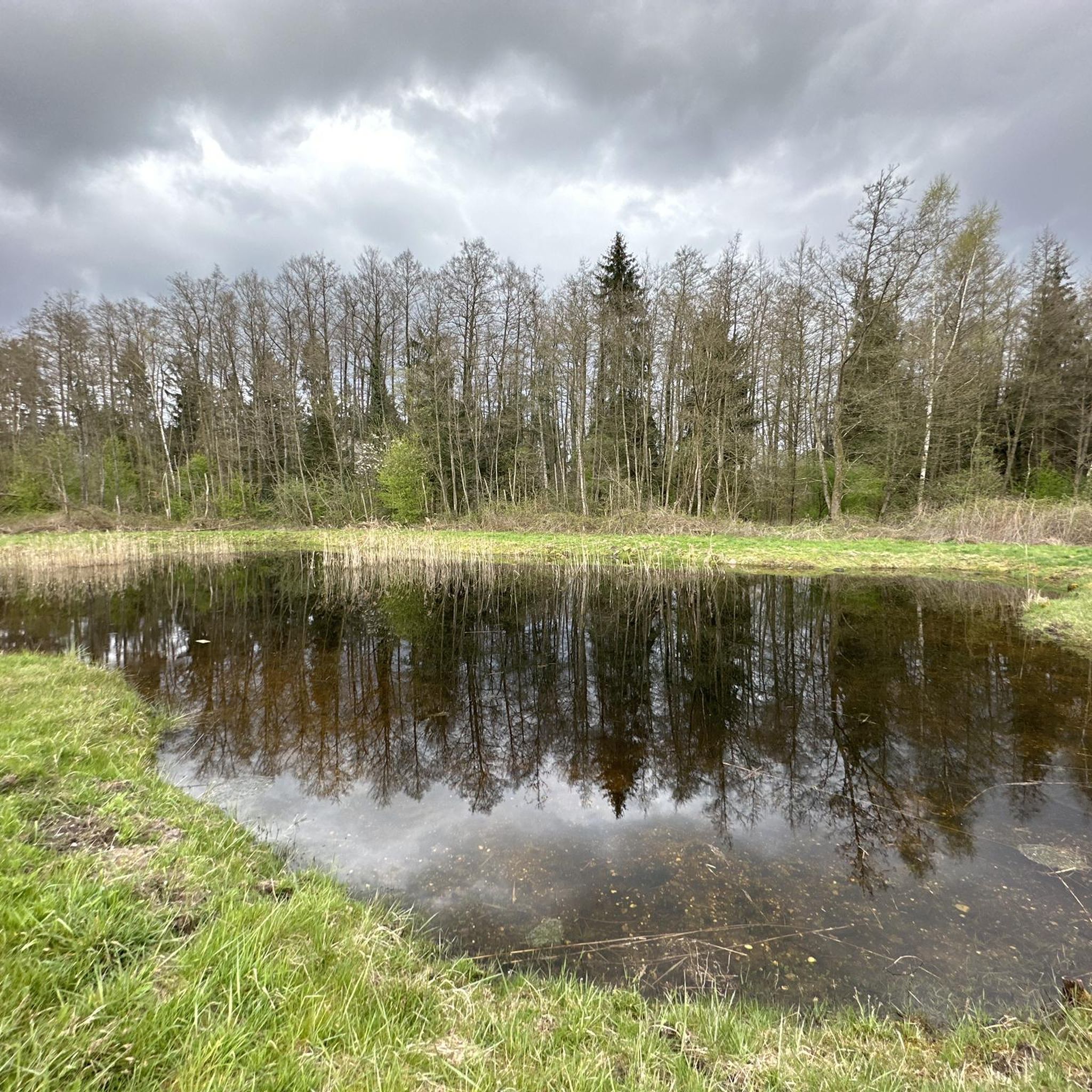
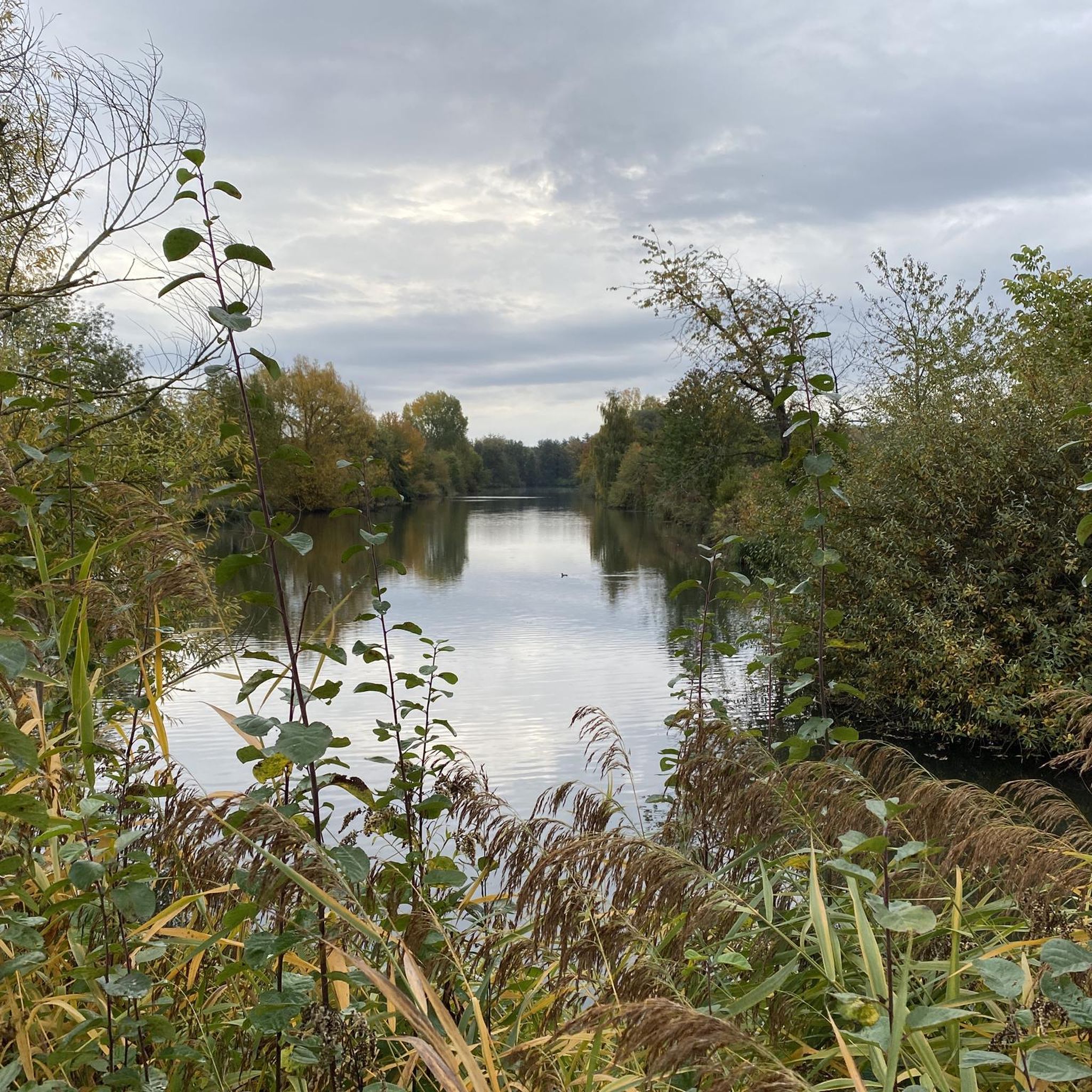
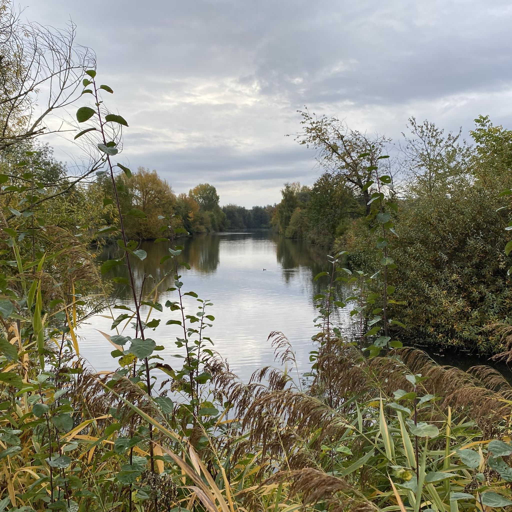
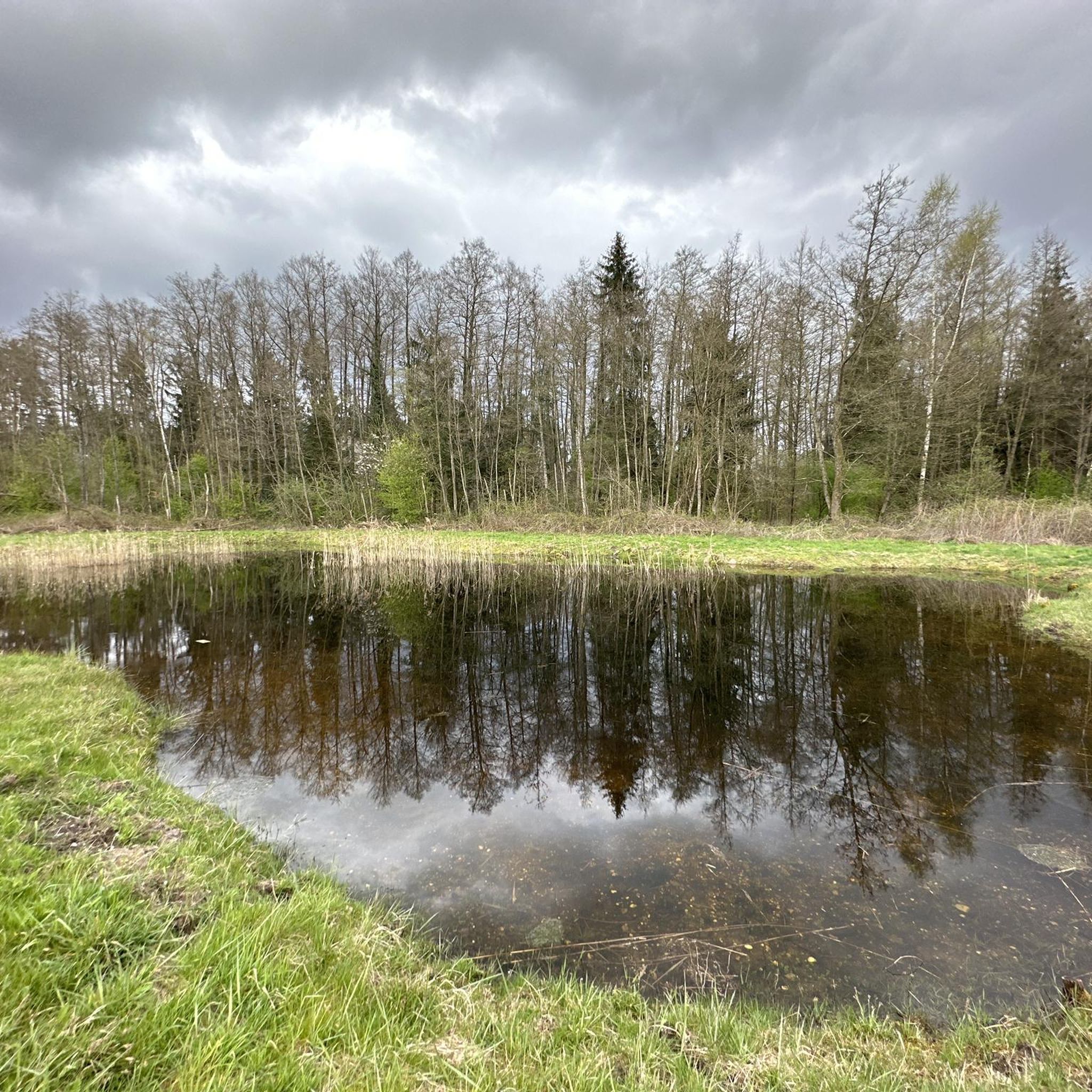
Tips from the Community

The nexus from which to drop into several great trails. You can explore the single trail network, meet likeminded people and take a well deserved break here.
0
0

Great rest stop, just a lovely spot...
1
0

the most beautiful radio tower in the Palatinate Forest, oh what am I saying, in Germany.
2
0


Of all the knight's stones (over 300), the knight's stone "Hohe Derst, 561 m above sea level" is the highest. It is located in front of the fenced-in area of a radio tower. Further information about this knight's stone: https://www.kuladig.de/ Objektansicht/KLD-322014
1
0

Good place to shelter in the rain.
1
0
Great trails towards the hamlet.
1
0

Frequently Asked Questions
What kind of mountain peaks can I expect to find around Kapsweyer?
While Kapsweyer itself is situated in an area of rolling hills and forests, the surrounding Südliche Weinstraße district and the nearby northern Vosges Mountains offer a variety of peaks. These range from accessible viewpoints with panoramic vistas to higher elevations with historical significance. The region is more characterized by its diverse landscapes suitable for outdoor activities rather than dramatic, towering mountains.
Which mountain peaks offer the best views near Kapsweyer?
For exceptional views, the Stäffelsberg Tower is highly recommended. From its 481-meter summit, after climbing 120 steps, you can enjoy extensive panoramic vistas of the Rhine plain, the Palatinate Forest, and the Northern Vosges. The Abtskopf Summit and Shelter also provides a rewarding top view after a short climb.
Are there any historical sites among the mountain peaks near Kapsweyer?
Yes, the region has several peaks with historical significance. The Scherhol Refuge, for instance, was a former redoubt from 1708 and later served as a station for an optical telegraph. Additionally, the Hohe Derst, 561 m, the highest elevation in the southeastern Palatinate Forest, was part of the West Wall defensive line and saw fierce fighting during the war.
What outdoor activities can I do near the mountain peaks around Kapsweyer?
The region around Kapsweyer is ideal for various outdoor activities. You can explore numerous hiking trails, with options like the easy 'Minister President’s Viewpoint – Kakteenland Steinfeld loop'. Cycling is also popular, with routes such as the 'Lauter Cycle Path'. For runners, there are trails like the 'Running loop from Kapsweyer'. You can find more details on these activities in the dedicated guides for hiking, cycling, and running around Kapsweyer.
Are there family-friendly mountain trails or viewpoints near Kapsweyer?
While specific 'family-friendly' categories aren't always assigned to peaks, many of the trails leading to viewpoints and summits in the region are accessible for families. The general terrain around Kapsweyer consists of rolling hills and forests, making for pleasant walks. For example, the Stäffelsberg Tower offers a clear path to the base, and the climb to the top is via steps, suitable for active families. The Cairns on the summit near Böllenborn is also noted as dog-friendly, suggesting a generally accessible path.
What is the best time of year to visit the mountain peaks around Kapsweyer?
The region's diverse landscape of forests and rolling topography makes it enjoyable throughout much of the year. Spring and autumn offer pleasant temperatures and beautiful scenery, with blooming flora or vibrant fall colors. Summer is also suitable for hiking and cycling, though it can be warmer. Winter hiking is possible, but conditions may vary, so checking local weather is always advisable.
What do visitors enjoy most about the mountain peaks and trails near Kapsweyer?
Visitors particularly appreciate the panoramic views from spots like the Stäffelsberg Tower, which offers vistas far into the Rhine plain and over to Alsace. The combination of natural beauty, historical sites, and well-maintained trails for hiking and cycling also makes the area a popular choice. Many enjoy the sense of accomplishment after a climb, rewarded with a peaceful break at a summit or refuge like the Abtskopf Summit and Shelter.
Are there any shelters or huts available on the mountain peaks?
Yes, you can find shelters and huts. The Abtskopf Summit and Shelter provides a good place for a break. Another notable spot is the Scherhol Refuge, a hut maintained by the Vosges club, which offers shelter though typically no food service.
How accessible are the mountain peaks around Kapsweyer by public transport?
While Kapsweyer itself is a municipality, direct public transport access to the specific trailheads for all mountain peaks can vary. It's advisable to check local bus schedules or consider driving to starting points, especially for more remote trails in the broader Südliche Weinstraße district or the Vosges Mountains. Kapsweyer is well-connected by road, making it a convenient starting point for car travel to various hiking areas.
What kind of terrain can I expect on the trails leading to the peaks?
The terrain around Kapsweyer and the nearby peaks generally features rolling hills and lush forests. Trails can range from easy, well-maintained paths suitable for leisurely walks to more challenging, short but steep climbs to reach summits. Expect a mix of forest paths, some rocky sections, and ascents that reward with views. For example, the climb to Abtskopf Summit is described as 'short but crisp'.
Are there any unique natural features to look out for on the mountain peaks?
The region is characterized by its natural beauty, including dense forests and varied topography. While not a 'peak' in the traditional sense, the Cairns on the summit near Böllenborn is a unique feature where visitors contribute stones to pyramids, creating a distinctive landmark within the forest. The area also offers interesting rock formations in the broader region, particularly towards the northern Vosges Mountains.
Can I find challenging hikes among the mountain peaks near Kapsweyer?
While many routes are considered easy to moderate, some paths to summits can offer a good challenge. For instance, reaching the Abtskopf Summit involves a 'short but crisp climb'. For those seeking more strenuous options, exploring the broader Südliche Weinstraße district and the northern Vosges Mountains will provide trails with greater elevation changes and longer distances, such as some of the 'difficult' running trails listed in the running guide.
Most popular routes around Kapsweyer
Most popular attractions around Kapsweyer

Get inspired with the komoot mobile app


Explore more
See even more amazing summits around Kapsweyer with these guides:
