The best mountain hikes around Marostica
5.0
(2)
13
hikers
3
hikes
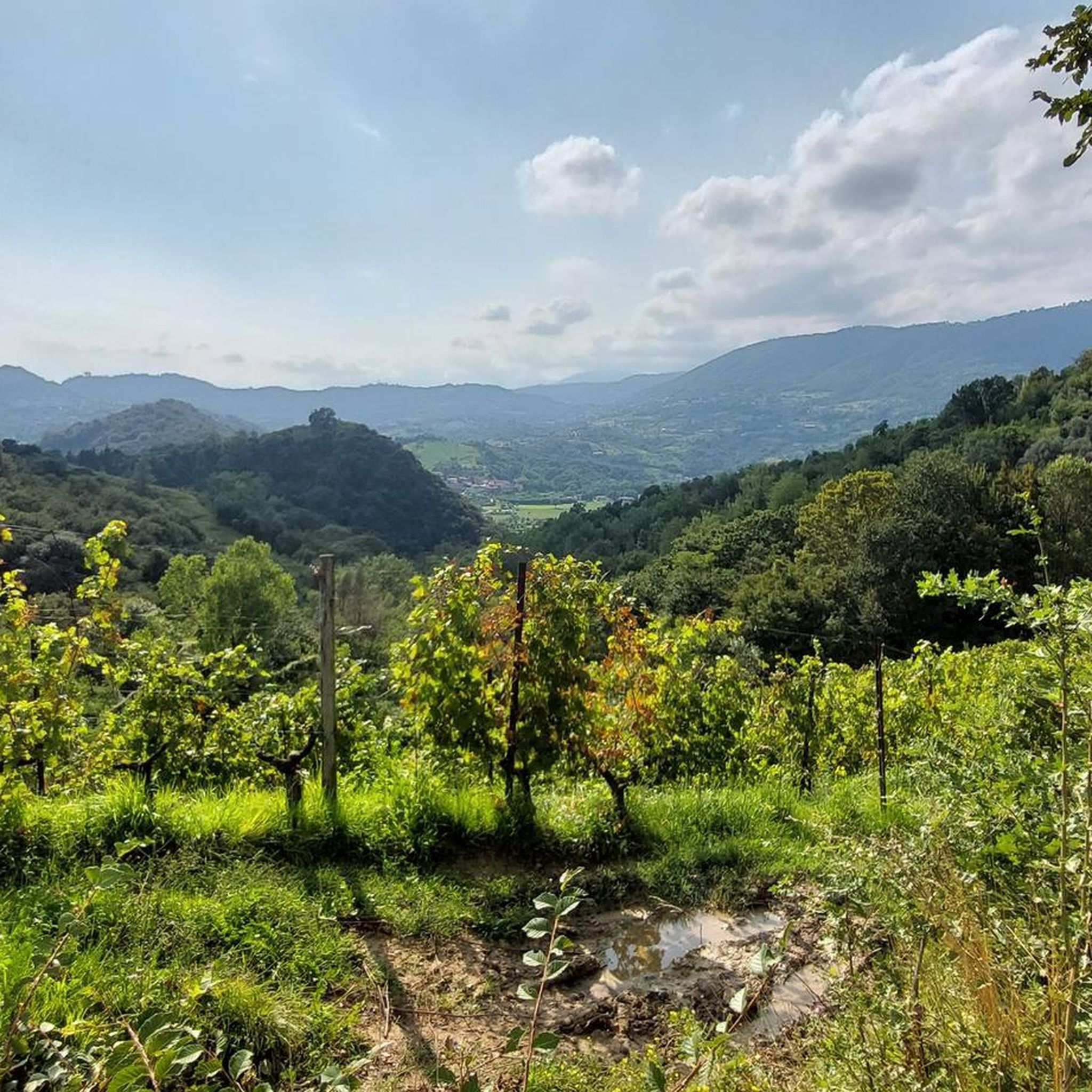
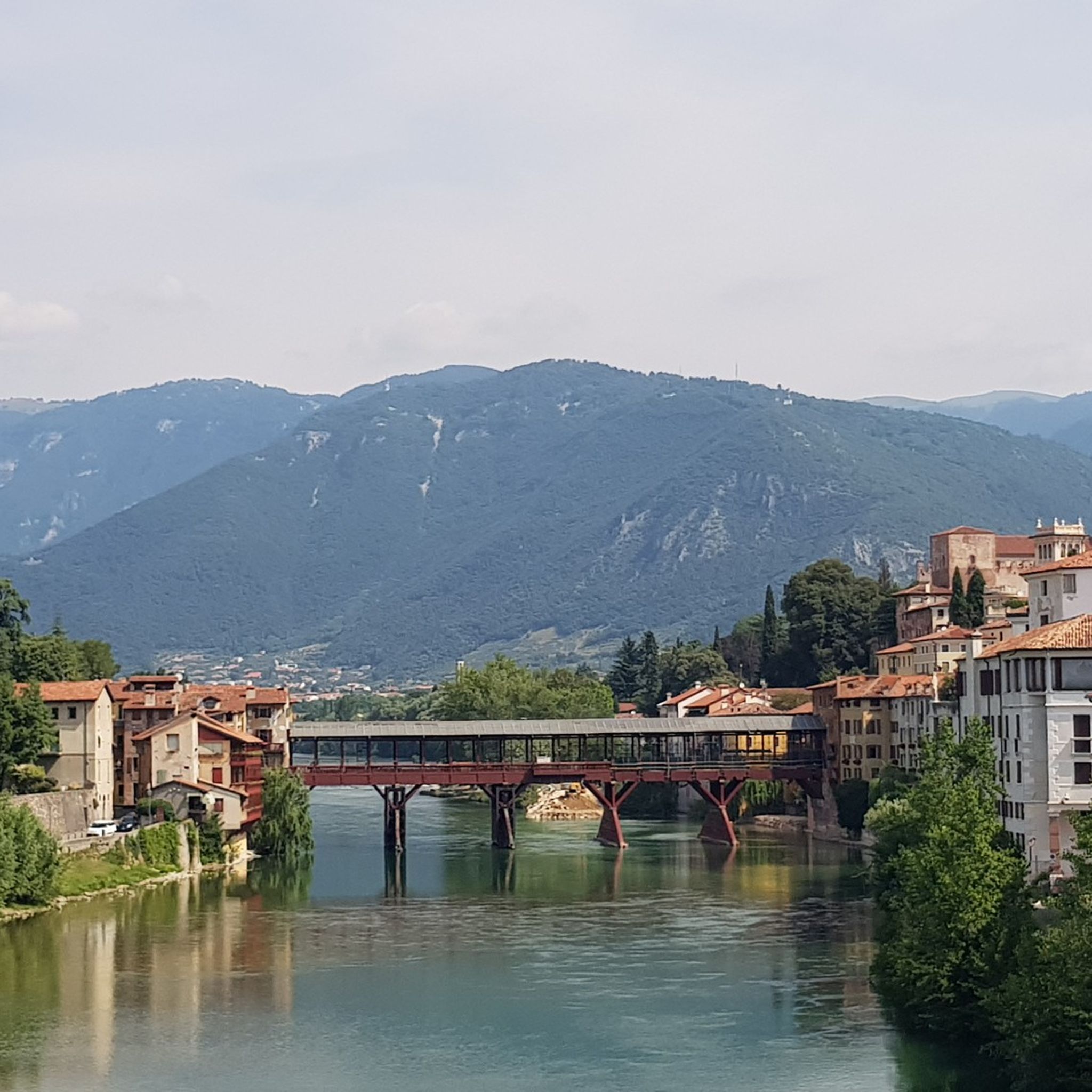
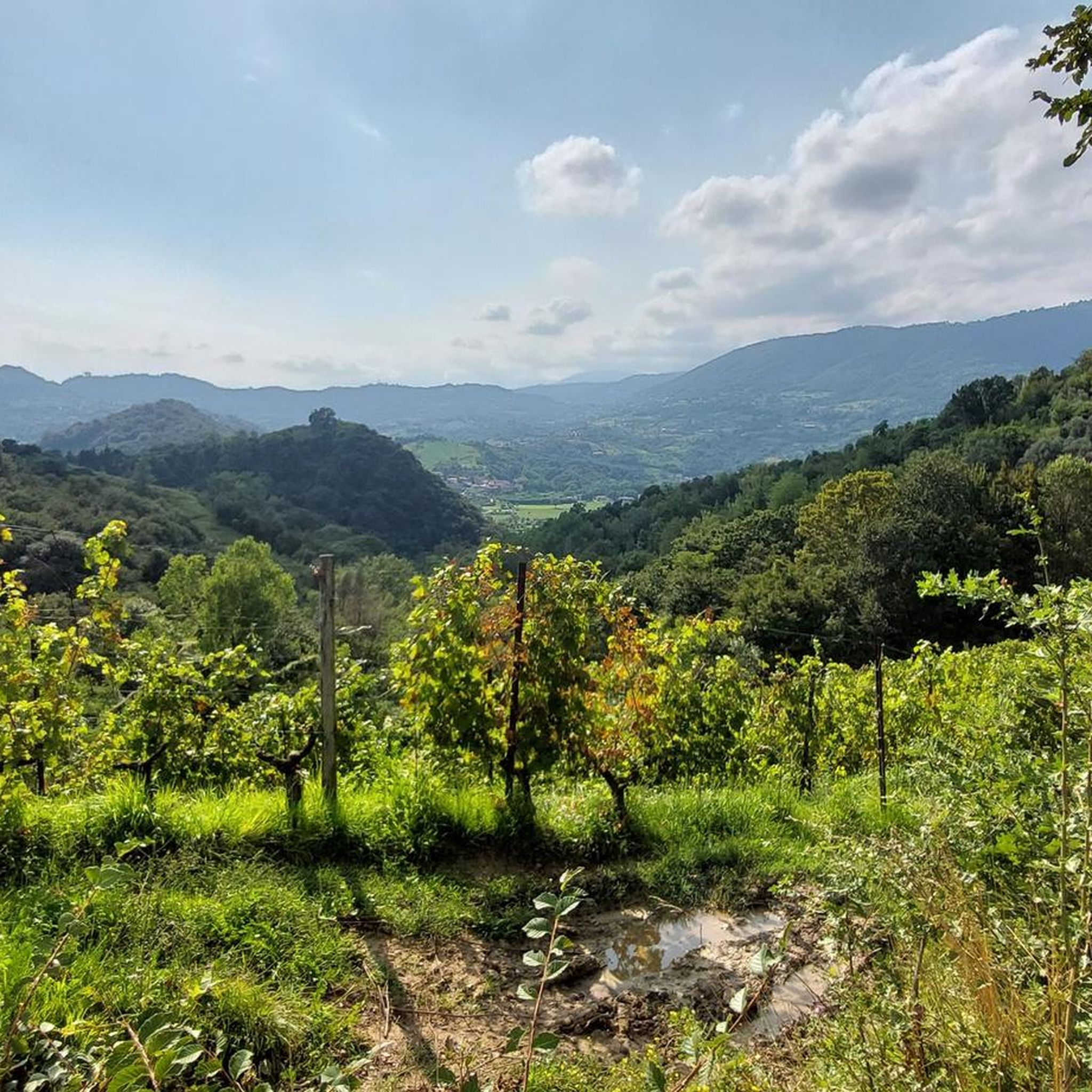
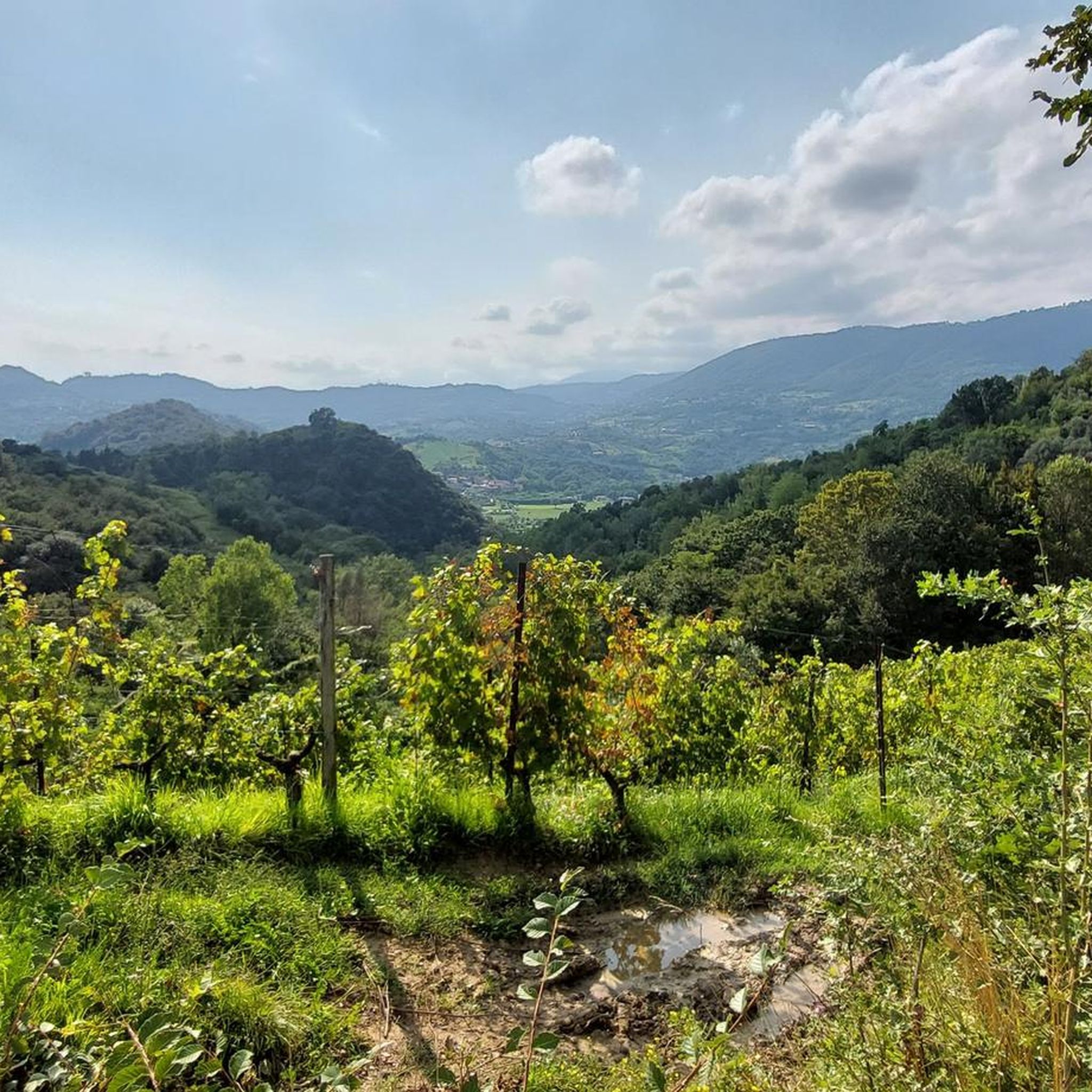
Mountaineering routes around Marostica traverse the pre-Alpine foothills of Veneto, characterized by rolling hills, forested slopes, and scenic valleys. The region offers a diverse landscape for mountaineers, ranging from moderate ascents to more challenging climbs. Terrain often includes well-defined paths through woodlands and open areas with panoramic views of the surrounding countryside.
Best mountaineering routes around Marostica
- The most popular mountaineering route is Rifugio Monte Grappa loop from Romano d'Ezzelino, a 6.2 miles (10.0 km) trail that takes 4…
Last updated: July 9, 2026
4
hikers
Moderate mountaineering route. Good fitness required. Mostly accessible paths. Sure-footedness required.
5.0
(1)
6
hikers
5.35km
04:21
800m
800m
Hard mountaineering route. Good fitness required. Sure-footedness, sturdy shoes and alpine experience required.

Sign up for free
1
hikers
7.55km
02:19
260m
260m
Moderate mountaineering route. Good fitness required. Easily-accessible paths. Suitable for all skill levels.
5.0
(1)
2
hikers
11.4km
03:27
310m
310m
Moderate mountaineering route. Good fitness required. Mostly accessible paths. Sure-footedness required.
Our route recommendations are based on thousands of hikes, rides, and runs completed by other people on komoot.
Start today with a free account
Your next adventure awaits.
Login or Signup

Tips from the Community

iconic refreshment point
0
0

The Pierino Dalla Zuanna Trail (PDZ — dedicated to a mountaineer who died in a mountain accident) climbs the angular side of Monte Pubel, often climbing between rocks, with some short wooded and flat sections where you can catch your breath. Shortly after the Bivio delle Strade Militari (660 m), a second fork forces you to make a choice: on the right, you head for the equipped section; while on the left, you follow the 'quiet' variant, but not without steep sections, recommended on the way back. The equipped route is officially EEA: it is not difficult (the most experienced can even do without a harness); obviously, it requires attention and a sure step. The two variants join at the Panchina del Generale, located in an overhanging pulpit, with a stunning view of the Canale del Brenta! From there, in 10 minutes you reach the Croce di S. Francesco, on the top of Monte Pubel. Excellently maintained, marked and equipped trail; exposed to the sun and therefore muggy in summer.
1
0

Panoramic view, breathtaking
2
1
Very nice view, must see
1
0


I like difficult paths, this one is superb and mountaineering, last but not least a hundred meters of via ferrata to get to the cross.
0
0

It is a decidedly steep and challenging path, a kilometer or so long, which runs along the edge of the hills between Val Frenzela and Val Vecchia. Be careful in the hot months because given the low altitude, the southern exposure and the large stretches devoid of vegetation, this segment can be difficult.
0
0
Bocchetta Paù (1,286 m) is a small pass between Monte Paù and Cima Fàvaro, featuring a bucolic pasture with a grazing pond surrounded by woods. From the rocky promontory on the edge of the plateau, you can enjoy a spectacular and expansive view of the Veneto plain, the Astico Valley, and the Piccole Dolomiti (with neighboring Summano in the foreground). Interesting fact: the metal shrine on the rock is nicknamed the "Madonnina dei Sauerkraut" (Little Madonna of the Sauerkraut), because it was commissioned as a votive offering after a narrow escape by Mr. Zuccato, owner of the well-known Vicenza-based sauerkraut company of the same name!
3
1
Frequently Asked Questions
What types of mountaineering routes can I find around Marostica?
Marostica offers a variety of mountaineering routes, primarily traversing the pre-Alpine foothills of Veneto. You'll find paths ranging from moderate ascents through woodlands and open areas to more challenging climbs with significant elevation gain. The region's landscape includes rolling hills, forested slopes, and scenic valleys, providing diverse terrain for mountaineers.
Are there any mountaineering routes suitable for beginners or those looking for a moderate challenge?
Yes, Marostica has routes that are well-suited for those seeking a moderate challenge. For example, the Rifugio Monte Grappa loop from Romano d'Ezzelino is a moderate 6.2-mile (10.0 km) trail offering expansive views. Another moderate option is the Bocchetta Paù Viewpoint – Carriola Mountain Hut loop from Fondi, which covers 7.1 miles (11.4 km) through varied terrain.
Are there more challenging mountaineering routes for experienced hikers in Marostica?
For experienced mountaineers looking for a more demanding route, the Croce di San Francesco loop from Valstagna is a difficult 3.3-mile (5.3 km) path. This route features significant elevation gain through rugged terrain, leading to a prominent viewpoint and testing your endurance.
Can I find circular mountaineering routes in Marostica?
Yes, many of the mountaineering routes in Marostica are designed as loops, allowing you to start and finish at the same point. Examples include the Rifugio Monte Grappa loop from Romano d'Ezzelino, the Croce di San Francesco loop from Valstagna, and the Maiga Piana della Casetta loop from Monte Cogolin.
What are the typical starting points for mountaineering routes, and is parking available?
Starting points for mountaineering routes around Marostica often include villages like Romano d'Ezzelino, Valstagna, and Fondi, as well as areas near Monte Cogolin. Parking availability varies by trailhead, but generally, you can find designated parking areas in or near these starting locations. It's always advisable to check specific route details for parking information.
When is the best time of year for mountaineering in Marostica?
The pre-Alpine region around Marostica is generally best for mountaineering from spring through autumn (April to October). During these months, the weather is typically more stable, and trails are clear of snow. While winter mountaineering is possible, conditions can be challenging with snow and ice, requiring appropriate gear and experience.
What do other mountaineers enjoy most about the routes in Marostica?
The mountaineering routes around Marostica are highly rated by the komoot community, with an average score of 5.0 stars. Reviewers often praise the diverse landscapes, from dense woodlands to open plains, and the rewarding panoramic views of the surrounding countryside. The variety of difficulty levels also makes the area appealing to a wide range of mountaineers.
Are there any interesting landmarks or viewpoints along the mountaineering trails?
Yes, the routes often lead to scenic viewpoints and pass by notable landmarks. For instance, you might encounter mountain passes like Col d'Astiago or enjoy views such as View of Campocroce from Semonzo. Some routes also offer glimpses of historical sites or charming settlements like Valstagna and Ponte Vecchio on the Brenta.
What kind of natural attractions can I expect to see near the mountaineering routes?
Beyond the stunning mountain scenery, you can discover natural attractions such as Lake Camazzole, which offers a tranquil spot for relaxation. The region's dense woodlands and river valleys also provide opportunities to observe local flora and fauna.
Is it possible to find refreshments or facilities near the mountaineering trails?
While specific facilities vary by route, many trails start or pass near villages where you can find cafes, pubs, or small shops. For example, routes originating from or passing through Valstagna or Romano d'Ezzelino would likely offer options for refreshments. It's always a good idea to carry sufficient water and snacks, especially on longer routes.
Are there any hidden gem mountaineering routes in Marostica that are less frequented?
While the provided routes are popular for good reason, the pre-Alpine foothills around Marostica offer numerous lesser-known paths. Exploring areas slightly off the main trails, perhaps through local inquiry or detailed maps, can lead to quieter experiences and unique perspectives of the region's natural beauty. The Maiga Piana della Casetta loop from Monte Cogolin, while known, offers a varied landscape that might feel more secluded at times.
Most popular routes around Marostica
Most popular attractions around Marostica

Get inspired with the komoot mobile app


Explore more
Browse the best Mountain Hikes & Routes in other regions.
