The 3 Most Amazing Peaks around Muntanyola
Mountain peaks around Muntanyola, a municipality in Catalonia, Spain, are characterized by forested hills and elevated terrain. The area's highest point reaches an elevation of 1,029 meters. Muntanyola offers a range of peaks and viewpoints, providing expansive vistas of the surrounding natural landscape. The region is known for its combination of natural features and historical sites at elevated positions.
Best mountain peaks around Muntanyola
- The most popular mountain peaks is Ermita de Sant Sebastià, a religious building that sits…
Last updated: August 23, 2026
Santa Llúcia Hermitage, Sobremunt
Highlight • Religious Site
Translated by Google •
Tip by

Ermita de Sant Sebastià
Highlight • Religious Site
Translated by Google •
Tip by

Sign up now to discover places like this
Get recommendations on the best single tracks, peaks, & plenty of other exciting outdoor places.
Sign up for free
Collet de Sant Pere and Ruins of Sant Pere del Coll de la Crossa
Highlight • Mountain Pass
Tip by

Gurb Cross
Highlight • Monument
Translated by Google •
Tip by

El Roc Gros Viewpoint
Highlight • Viewpoint
Translated by Google •
Tip by

Sign up for free to discover even more peaks around Muntanyola.
Sign up for free
Already have an account?
Start today with a free account
Your next adventure awaits.
Login or Signup


Tips from the Community

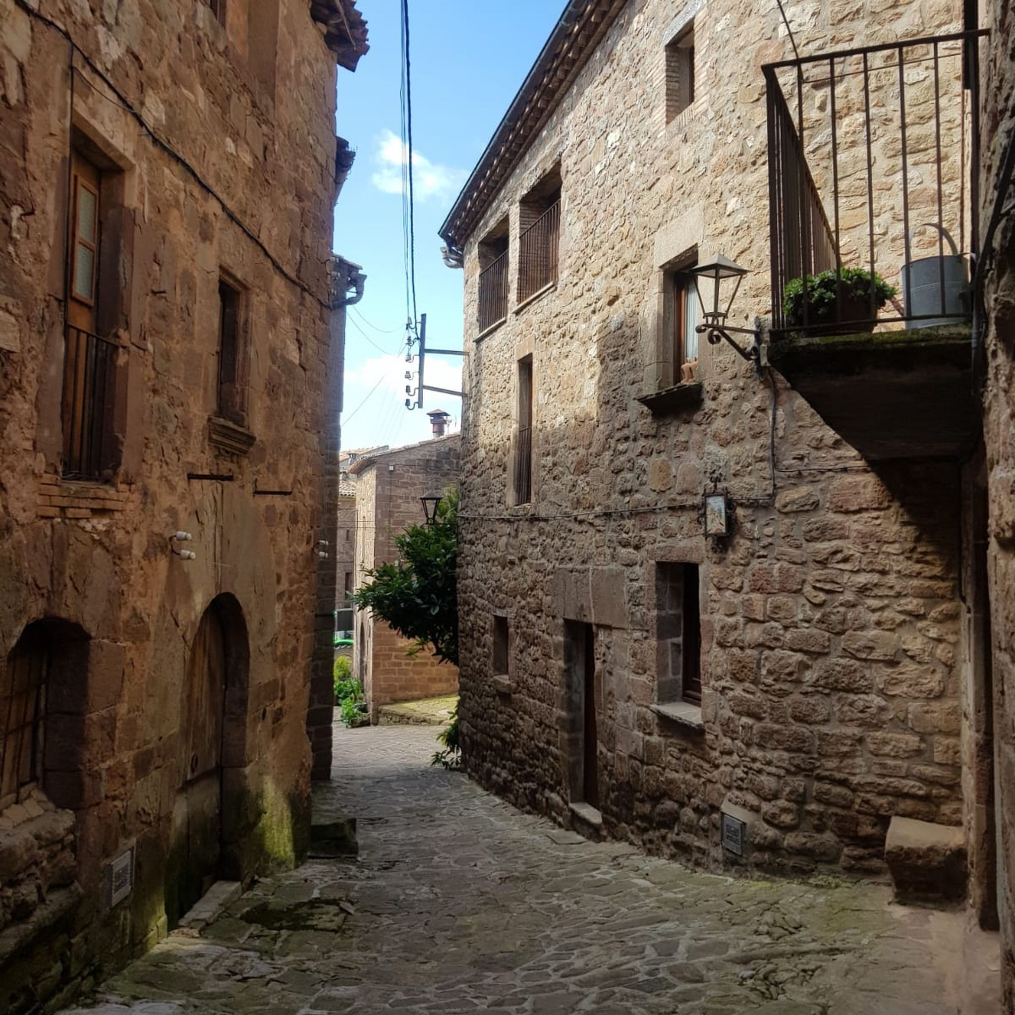
Religious building facing west and located at the highest point of the Sobremunt mountain range (957 meters above sea level). It was erected in 1407, under the patronage of Saint Lucia and St. Quiteria.[1] It is surrounded by a stone wall and is accessed through a porch with a rounded vault. Above the portal, there is a stone engraving and the date 1720, the year in which it was completely renovated.[1] The Bell Tower is a tower with a hipped roof and the bell is preserved. The chapel is completely renovated and a large millstone forms the altar. In the left corner there is a body formed by three successive extensions. On the lintel of the portal it reads: SANTA LLUCIA ORA PRO NOBIS YEAR 1718
0
0

Cozy little medieval church, located on a nice spot with views
1
0

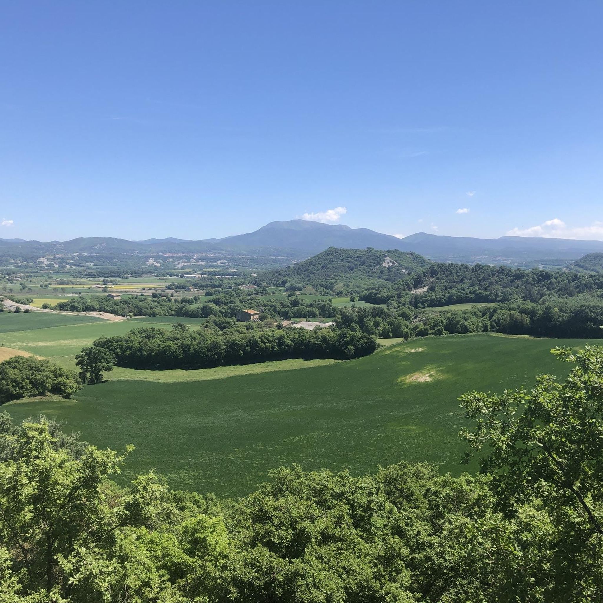
The cross is from the year 1900. There are great views from here over the Plana de Vic and its surroundings. Gurb preserves an agricultural and livestock tradition with a significant number of farmhouses and farms.
2
1

Recommended in addition to its history for its views across the plain of Vic
1
0
Santa Llúcia de Sobremunt is located at the north-eastern end of the municipal district, dominating a wide panorama of the Plana de Vic and the Pyrenees. The church, documented in the 14th century, preserves Romanesque remains at the base of the temple. The current church (18th century) has a rectangular floor plan; it consists of a single nave, separated from the presbytery by a grate, and simply decorated in Baroque style. It has a bell tower with a gabled roof, and the west façade consists of a terraced atrium with two large semicircular arch openings (west and south). The access portal is interesting, framed with jambs and a molded stone lintel and has the date 1720, with an ashlar where a cross is inscribed. Above the cross is a rather damaged Gothic ashlar with a scene of the crucifixion, sculpted in bas-relief, in which four characters are distinguished and the crucified Christ, quite mutilated. The hermitage of Santa Llúcia, initially dedicated to Santa Llúcia and Santa Quitèria, was not documented until 1370; the Romanesque remains at the base of the temple, but indicate that either the chapel existed long before or there may have been a military watchtower in this place. The devotion to Santa Quiteria disappeared in modern times, leaving Santa Llúcia, the lawyer of the sight, as the only patron saint. It was formerly known as Santa Llúcia de Dalt in contrast to Santa Llúcia de Baix, located in Taradell, which was the focus of devotion in the southern sector of the Plana de Vic. we; in 1720 it was already done. In 1748 the house of the hermits was extended, attached to the temple. https://turisme.llucanes.cat/visiteu/esglesia-santa-llucia-sobremunt/
1
0

Any good time, the route can be classified as easy, and if you like history, you will be able to soak up what happened in 1715 and the repercussions to this day.
0
0

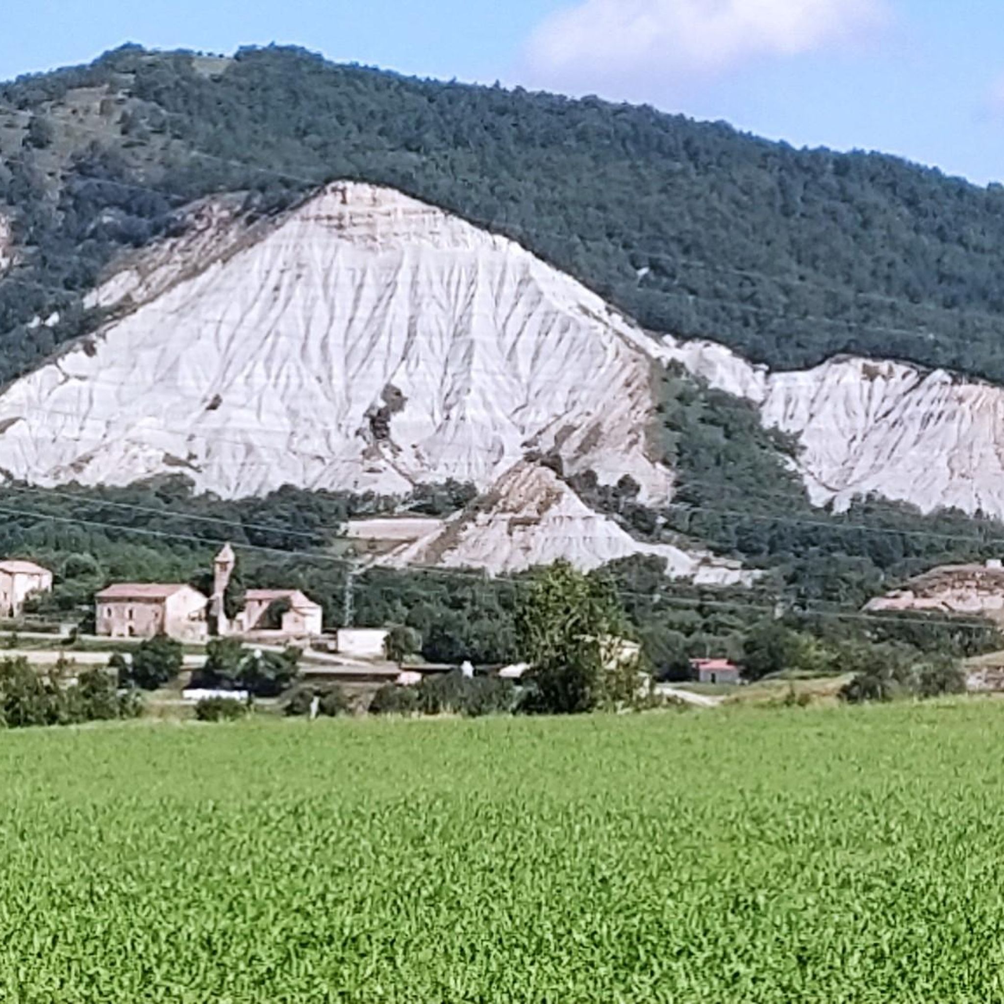
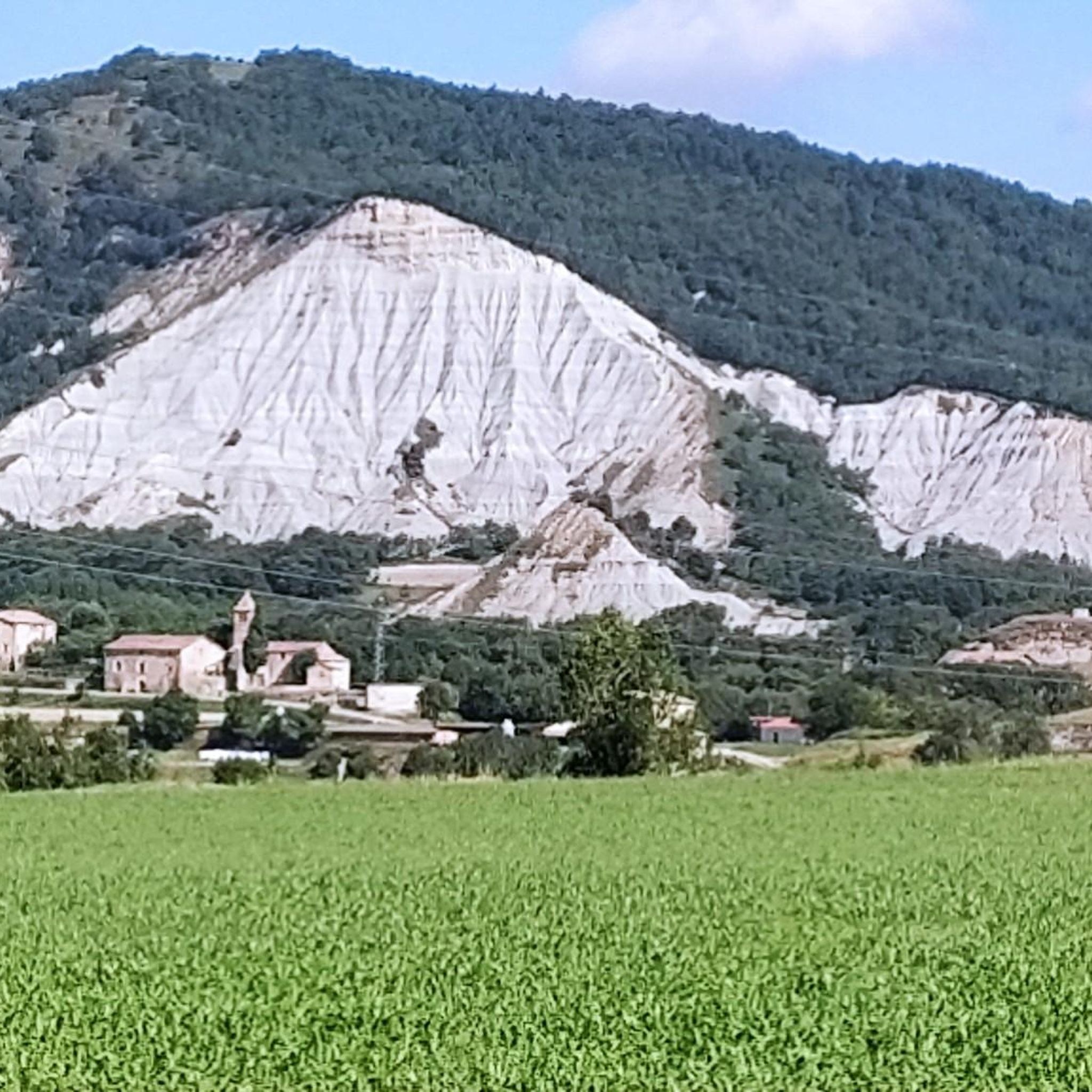
Collet de Sant Pere, or Coll de la Crossa, is a pass at 930m. On the north-east side of the pass are the remains of the church of Sant Pere del Coll de la Crossa. It is the access point to the Puig de la Caritat with the cross over L'Estany.
1
0

The section to ascend if you go by bike is difficult to climb on hills, too much upward slope. I recommend going down the main one and not the other viewpoint, but only if you go by bike, it is a very narrow and inclined section for hikers.
1
1
Frequently Asked Questions
What kind of views can I expect from the mountain peaks around Muntanyola?
The mountain peaks in Muntanyola offer expansive, panoramic views of the surrounding natural landscape, including the Plana de Vic and even the Pyrenees on clear days. Highlights like Ermita de Sant Sebastià and Gurb Cross are specifically noted for their great vistas over the Plana de Vic and its surroundings. From Santa Llúcia Hermitage, Sobremunt, you can enjoy a wide panorama of the Plana de Vic and the Pyrenees.
Are there hiking trails available near the mountain peaks in Muntanyola?
Yes, Muntanyola offers a variety of hiking trails. For instance, the prominent Pic de la Muntanyola is the highlight of a challenging 8.5 km hiking route with significant elevation gain, featuring natural landmarks like Estany Xic and Font de la Costa. You can find more hiking options, including moderate and easy loops, by exploring the Hiking around Muntanyola guide.
Are there family-friendly mountain peaks or trails in Muntanyola?
Yes, some mountain peaks and their surrounding areas are considered family-friendly. For example, the route to Ermita de Sant Sebastià is often classified as easy, making it suitable for families. When planning, always check the specific trail difficulty and conditions to ensure it's appropriate for all family members.
What historical sites can I find on or near the mountain peaks in Muntanyola?
Muntanyola's peaks are rich in history. You can visit Ermita de Sant Sebastià, a beautiful hermitage with historical significance. Another notable site is Collet de Sant Pere and Ruins of Sant Pere del Coll de la Crossa, a mountain pass at 930 meters featuring remains of a historical church. Additionally, Gurb Cross is a man-made monument from 1900 with great views.
What is the highest point in the Muntanyola municipality?
The highest point within the Muntanyola municipality reaches an elevation of 1,029 meters (approximately 3,376 feet). While specific named peaks vary, this elevation marks the maximum height in the area.
What natural features can I encounter on mountain trails in Muntanyola?
Beyond the panoramic views, trails around Muntanyola's peaks often feature diverse natural elements. For instance, the route to Pic de la Muntanyola includes picturesque water features like Estany Xic and refreshing springs such as Font de la Costa. You'll also traverse forested hills characteristic of the region.
Are there options for mountain biking or road cycling near Muntanyola's peaks?
Yes, the area around Muntanyola offers various cycling opportunities. For mountain biking, you can explore routes like the 'Sant Miquel de Vilageliu – Church of Sentfores (La Guixa) loop' or the 'View of the Pyrenees – Les Set Fonts Beach Bar loop.' Road cyclists can find routes such as 'La Costa dels Gats, Lluçà – Church of Prats de Lluçanès loop.' More details are available in the MTB Trails around Muntanyola and Road Cycling Routes around Muntanyola guides.
What do visitors appreciate most about the mountain peaks in Muntanyola?
Visitors frequently highlight the breathtaking panoramic views, especially those overlooking the Plana de Vic and the Pyrenees. The combination of challenging yet rewarding hikes, the presence of historical sites like hermitages and crosses, and the serene natural environment are also highly valued. The komoot community has shared 22 photos and given 30 upvotes, reflecting the area's appeal.
Is there a particularly challenging peak for experienced hikers in Muntanyola?
For experienced hikers seeking a challenge, the route to Pic de la Muntanyola is known for its demanding nature, covering 8.524 kilometers with a significant elevation gain of 746 meters. Additionally, El Roc Gros Viewpoint is categorized as challenging, particularly for its ascent, offering a rewarding experience for those looking for a strenuous climb.
What is the significance of Collet de Sant Pere?
Collet de Sant Pere, also known as Coll de la Crossa, is a mountain pass situated at 930 meters. It serves as an access point to Puig de la Caritat and is notable for the remains of the historical church of Sant Pere del Coll de la Crossa on its north-east side, offering a blend of natural beauty and historical interest.
Are there any religious buildings located on the mountain peaks?
Yes, several religious buildings are situated on or near the mountain peaks, often offering stunning views. These include Ermita de Sant Sebastià, which sits atop a hill with views over the plain of Vic, and Santa Llúcia Hermitage, Sobremunt, which preserves Romanesque remains and offers wide panoramas.
Most popular routes around Muntanyola
Most popular attractions around Muntanyola

Get inspired with the komoot mobile app


Explore more
See even more amazing summits around Muntanyola with these guides:
