The best walks and hikes around Benest
4.4
(16)
55
hikers
6
hikes
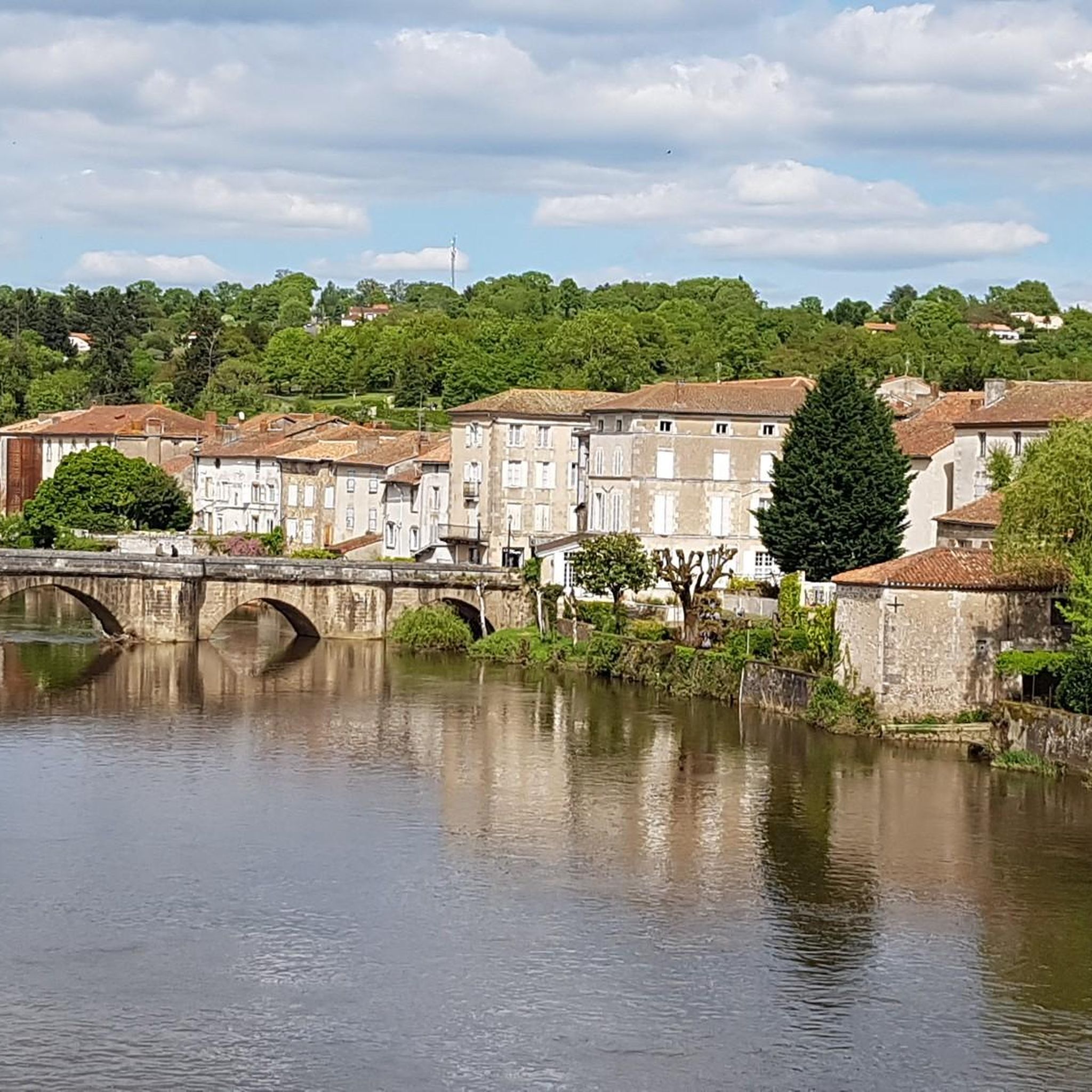
Hiking around Benest, located in the Charente department of France, offers trails through a landscape characterized by gentle rolling terrain and rural scenery. The area features a mix of open countryside, small woodlands, and bodies of water such as lakes and ponds. Elevations are generally low, with routes typically involving minimal ascent and descent. The region provides a tranquil setting for outdoor activities, with paths often following quiet country lanes and natural features.
Best hiking trails around Benest
- The most…
Last updated: July 1, 2026
4.0
(3)
12
hikers
7.85km
02:03
60m
60m
Moderate hike. Good fitness required. Easily-accessible paths. Suitable for all skill levels.
4.0
(2)
8
hikers
9.89km
02:35
70m
70m
Moderate hike. Good fitness required. Easily-accessible paths. Suitable for all skill levels.

Sign up for free
5.0
(2)
6
hikers
6.90km
01:48
50m
50m
Easy hike. Great for any fitness level. Easily-accessible paths. Suitable for all skill levels.
5.0
(1)
4
hikers
4.36km
01:08
30m
30m
Easy hike. Great for any fitness level. Easily-accessible paths. Suitable for all skill levels.
4.0
(2)
4
hikers
12.8km
03:22
100m
100m
Moderate hike. Good fitness required. Easily-accessible paths. Suitable for all skill levels.
Our route recommendations are based on thousands of hikes, rides, and runs completed by other people on komoot.
Start today with a free account
Your next adventure awaits.
Login or Signup
Popular around Benest


Tips from the Community

A wonderful piece of nature
0
0
Frequently Asked Questions
What kind of terrain can I expect when hiking around Benest?
Hiking around Benest offers gentle rolling terrain with a mix of open countryside, small woodlands, and bodies of water like lakes and ponds. The paths often follow quiet country lanes and natural features, providing a tranquil setting. Elevations are generally low, with minimal ascent and descent.
How many hiking routes are available in the Benest area?
There are 7 hiking routes available around Benest in this guide, offering various options for exploring the local landscape.
Are there any easy hiking trails suitable for beginners or casual walkers?
Yes, there are easy hiking trails available. For example, the Étang des Brandes loop from Le Grand Villars is an easy 4.4 km (2.7 miles) trail that takes about 1 hour 8 minutes, leading through areas around a pond. Another easy option is the Chateauneuf loop from Pressac, which is 6.9 km (4.3 miles).
What do other hikers say about the trails in Benest?
The routes in Benest are highly rated by the komoot community, with an average score of 4.5 stars from over 10 reviews. Hikers often praise the tranquil setting, the mix of open fields and streamside paths, and the rural landscapes.
Are there any circular hiking routes in Benest?
Yes, many of the trails around Benest are circular. For instance, the popular Exercise Bench by the Stream loop from Le Fournet is a 12.7 km (7.9 miles) circular route. Another option is the Lakeside Cottages – Chateauneuf loop from Pressac, which is 9.9 km (6.1 miles).
Are there any trails that feature lakes or ponds?
Yes, the Benest area features several trails that include bodies of water. The Étang des Brandes loop from Le Grand Villars specifically leads through areas around a pond. Additionally, the Lakeside Cottages – Chateauneuf loop from Pressac offers views of lakeside areas and rural landscapes.
What is the longest hiking trail available in this guide for Benest?
The longest hiking trail featured in this guide is the Exercise Bench by the Stream loop from Le Fournet, which covers a distance of 12.7 km (7.9 miles) and typically takes around 3 hours 19 minutes to complete.
What is the typical difficulty level of hikes around Benest?
The hikes around Benest are generally considered easy to moderate. The terrain is characterized by gentle rural paths and low elevations, making them accessible for a range of fitness levels. There are no difficult trails listed in this guide.
Are there any trails suitable for a longer day hike?
For a longer day hike, consider the Exercise Bench by the Stream loop from Le Fournet. This moderate 12.7 km (7.9 miles) route offers a mix of open fields and streamside paths and takes approximately 3 hours 19 minutes.
What kind of natural features can I expect to see on the trails?
The trails around Benest showcase a tranquil rural landscape with a mix of open countryside, small woodlands, and bodies of water such as lakes and ponds. You'll often find paths following quiet country lanes and natural features, providing a peaceful outdoor experience.
Is Benest a good place for a relaxing walk in nature?
Yes, Benest is ideal for relaxing walks. The area's gentle rolling terrain, quiet country lanes, and tranquil setting through open countryside, small woodlands, and lakeside features make it perfect for a peaceful outdoor experience.

Get inspired with the komoot mobile app


Explore more
Browse the best Hikes in other regions.
