The best gravel rides around Lauzès
4.8
(5)
60
riders
14
rides
Gravel biking around Lauzès offers routes through the diverse landscapes of the Causses du Quercy Regional Natural Park, characterized by limestone plateaus, deep valleys, and karst formations. The terrain provides a mix of challenging climbs and scenic paths, with elevations reaching over 1,000 meters on some routes. Riders can explore varied ecosystems, from arid limestone areas to lush riverine environments along the Vers river. This region in the Lot department of Occitanie is well-suited for gravel cycling due to its…
Last updated: November 1, 2026
4.7
(3)
17
riders
42.8km
03:13
860m
870m
Hard gravel ride. Very good fitness required. Mostly paved surfaces.
5.0
(2)
28
riders
39.3km
02:38
580m
580m
Hard gravel ride. Very good fitness required. Mostly paved surfaces.

1
riders
58.8km
04:38
1,150m
1,150m
Hard gravel ride. Very good fitness required. Mostly paved surfaces.
9
riders
Hard gravel ride. Very good fitness required. Mostly paved surfaces.
5.0
(1)
4
riders
53.4km
03:59
960m
960m
Hard gravel ride. Very good fitness required. Mostly paved surfaces.
Get access to more routes and recommendations from other explorers.
Already have an account?
Our route recommendations are based on thousands of hikes, rides, and runs completed by other people on komoot.
Start today with a free account
Your next adventure awaits.

Tips from the Community

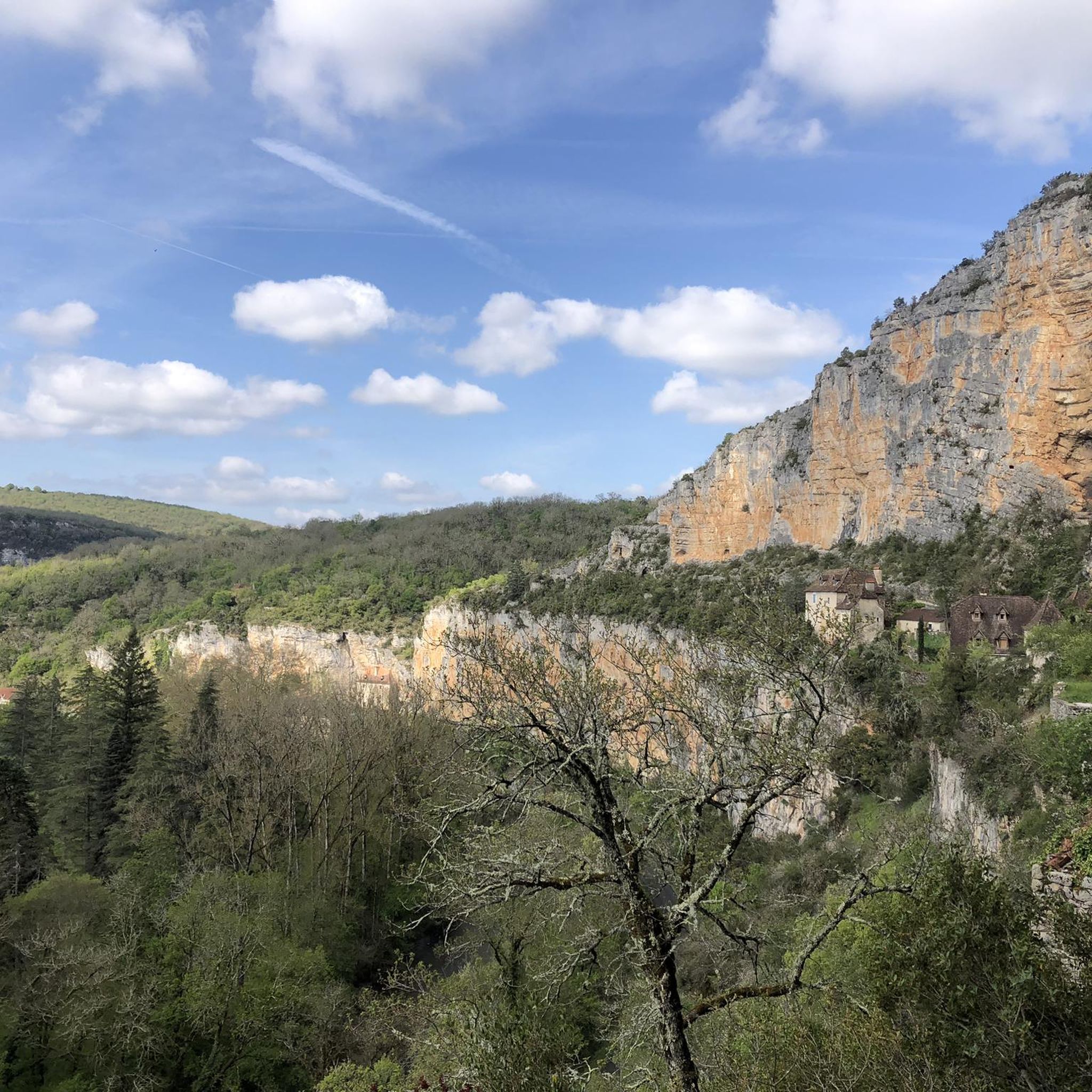
The magnificent corniche road overlooking the meanders of the river is located at the level of the spectacular Lot valley, particularly on the heights of the limestone plateaus and cliffs. In Saint-Cirq-Lapopie: The Lapopie rock and the Bancourel dovecote offer a spectacular 360-degree plunging view over the river.
0
0
The magnificent cornice route overlooking the meanders of the river is located at the level of the spectacular Lot valley, particularly on the heights of the limestone causses and cliffs. In Saint-Cirq-Lapopie: The Lapopie rock and the Bancourel dovecote offer a spectacular 360-degree plunging view over the river.
0
0
The magnificent corniche road overlooking the meanders of the river is located in the spectacular Lot valley, particularly on the heights of the limestone causse and cliffs. In Saint-Cirq-Lapopie: The Lapopie rock and the Bancourel dovecote offer a spectacular 360-degree plunging view over the river.
0
0
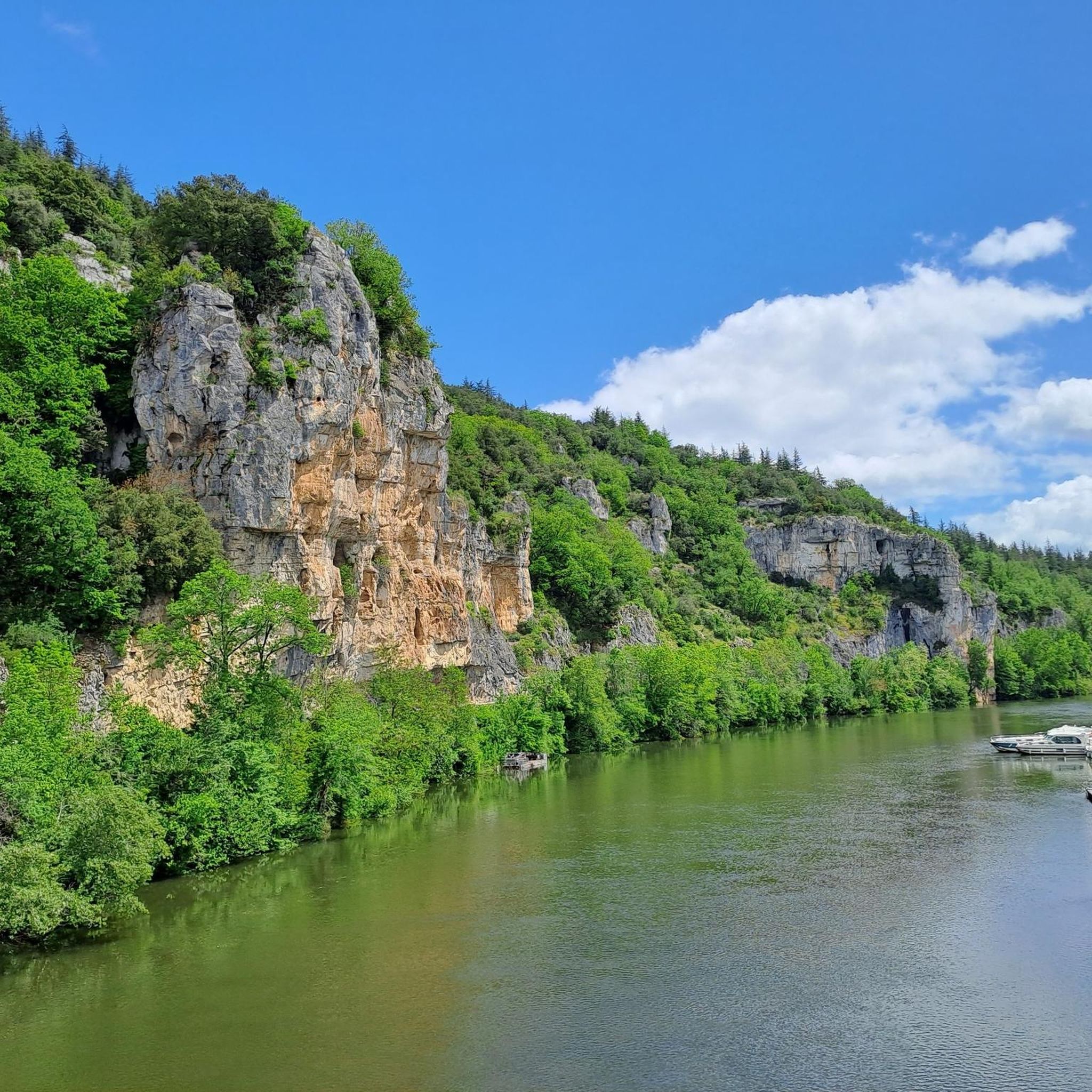
The Ganil towpath: Carved into the limestone cliff rock in 1845, it once allowed horses to tow barges up the Lot river. Between 1985 and 1989, the artist Daniel Monnier sculpted an impressive bas-relief here, representing local fauna and flora. The path connects Bouziès to Saint-Cirq-Lapopie over about 4 to 5 km of easy walking.
0
0
In the heart of the Causses du Quercy Regional Natural Park. Located at the confluence of the Lot and Célé valleys, the village of Bouziès, with around 90 inhabitants, is world-renowned for its spectacular natural and historical heritage. The Château des Anglais: Fortifications from the 11th and 12th centuries anchored directly into the vertical cliff face overlooking the road and the river. This site once served as a fortified refuge for the inhabitants during conflicts.
0
0
In the heart of the Parc naturel régional des Causses du Quercy. Located at the confluence of the Lot and Célé valleys, the village of Bouziès, with around 90 inhabitants, is world-renowned for its spectacular natural and historical heritage. The Château des Anglais: Fortifications from the 11th and 12th centuries anchored directly into the vertical cliff face overlooking the road and the river. This site once served as a fortified refuge for the inhabitants during conflicts.
0
0
It is a place particularly appreciated for walks or bike rides along the towpath, offering a green, shaded and very peaceful setting.
0
0
Frequently Asked Questions
How many gravel bike trails are available around Lauzès?
There are 13 gravel bike trails around Lauzès, offering a variety of routes through the Causses du Quercy Regional Natural Park. Most of these routes are considered difficult, providing significant elevation gains and challenging terrain.
What kind of terrain can I expect on gravel bike trails in Lauzès?
The terrain around Lauzès is characterized by the karst formations of the Causses du Quercy Regional Natural Park. You can expect a mix of limestone plateaus, deep valleys, and varied surfaces, from well-paved sections to unpaved segments and rugged doubletrack. The southwestern edge also features riverine environments along the Vers river.
Are there any family-friendly gravel biking options in Lauzès?
While many routes around Lauzès are rated as difficult due to significant elevation gains, the region's diverse landscape offers potential for easier sections. For family-friendly options, it's best to look for routes with less elevation or consider shorter, well-maintained paths. Always check the route details on komoot for specific difficulty ratings and terrain descriptions before heading out.
What are some notable landmarks or attractions I can visit while gravel biking near Lauzès?
Several interesting landmarks can be incorporated into your rides. You could visit the impressive Pech Merle Cave, known for its prehistoric paintings. The dramatic English Castle of Bouziès, perched on cliffs, offers scenic views. Additionally, the Ganil lock and towpath along the Lot River provides a unique and picturesque cycling experience.
What do other gravel bikers enjoy most about the trails in Lauzès?
The gravel biking routes in Lauzès are highly rated by the komoot community, with an average score of 4.5 stars. Riders often praise the diverse landscapes, the challenging climbs, and the opportunity to explore the unique karst formations and riverine environments of the Causses du Quercy Regional Natural Park.
Are there any long-distance gravel routes available from Lauzès?
Yes, for those seeking a longer adventure, there are routes like the difficult Rocamadour – Rocamadour loop from Cœur de Causse, which spans over 122 kilometers with significant elevation gain, offering an extensive exploration of the region.
Can I find circular gravel biking routes in the area?
Many of the gravel biking routes around Lauzès are designed as loops, allowing you to start and end in the same location. An example is the challenging Towards – View of Vers loop from Saint-Géry-Vers, which covers 58.2 kilometers and offers varied terrain with views of Vers.
What is the best time of year for gravel biking in Lauzès?
The region experiences a Mediterranean climate with hot, dry summers and mild winters. Spring and autumn are generally ideal for gravel biking, offering pleasant temperatures and vibrant natural scenery. Summers can be very warm, so early morning or late afternoon rides are recommended if visiting during peak season.
Are there any routes that offer views of the Lot River?
Absolutely. The region is known for its proximity to the Lot River. A popular route that provides expansive views of the Lot river valley is the difficult Beautiful view of the Lot – Cahors loop from Vers, a 39-kilometer trail.
Where can I find historical sites on a gravel bike route?
You can combine your gravel biking with historical exploration. The difficult The English Castle of Bouziès – Cajarc town centre loop from Bouziès is a 68.1-kilometer route that includes historical landmarks and sections along the Lot River, offering a blend of natural beauty and heritage.
Are there any gravel routes that pass through traditional French villages?
Yes, the region around Lauzès is dotted with picturesque villages. While specific routes passing directly through them vary, many trails offer views of or access to charming settlements. For instance, the area is close to villages like Saint-Cirq-Lapopie and Cabrerets, which can be explored as part of a longer ride or a separate visit.
Most popular attractions around Lauzès

Get inspired with the komoot mobile app


Explore more
Browse the best Gravel rides in other regions.
