The best running trails around Montmerle-Sur-Saône
4.2
(75)
1,867
runners
19
runs
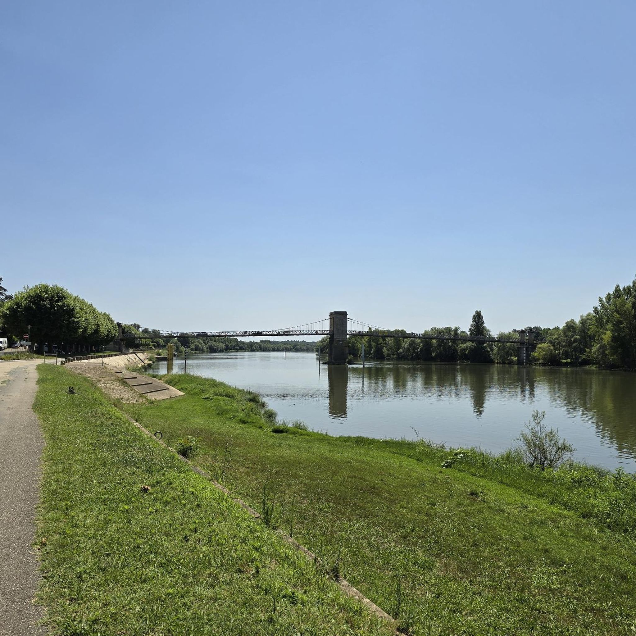
Jogging routes around Montmerle-Sur-Saône are primarily characterized by the tranquil Saône River and its surrounding flat, accessible riverbanks. The region features wide meadows and is integrated into the Val de Saône Classified Site, offering diverse natural heritage. Many running trails follow La Voie Bleue, a dedicated path along former towpaths, providing predominantly flat and paved surfaces. The landscape also includes wet forests, hedged farmland, and oxbows, with some routes offering views towards the distant Beaujolais mountains.
Best jogging routes around…
Last updated: October 4, 2026
38
runners
9.18km
00:58
70m
70m
Moderate run. Good fitness required. Mostly paved surfaces. Suitable for all skill levels.
3.0
(1)
14
runners
6.97km
00:45
50m
50m
Moderate run. Good fitness required. Mostly paved surfaces. Suitable for all skill levels.

3.5
(4)
10
runners
8.87km
00:57
60m
60m
Moderate run. Good fitness required. Mostly paved surfaces. Suitable for all skill levels.
3.0
(1)
9
runners
13.0km
01:24
100m
100m
Moderate run. Good fitness required. Mostly paved surfaces. Suitable for all skill levels.
3
runners
15.9km
01:40
120m
110m
Hard run. Very good fitness required. Mostly paved surfaces. Suitable for all skill levels.
Get access to more routes and recommendations from other explorers.
Already have an account?
Our route recommendations are based on thousands of hikes, rides, and runs completed by other people on komoot.
Start today with a free account
Your next adventure awaits.
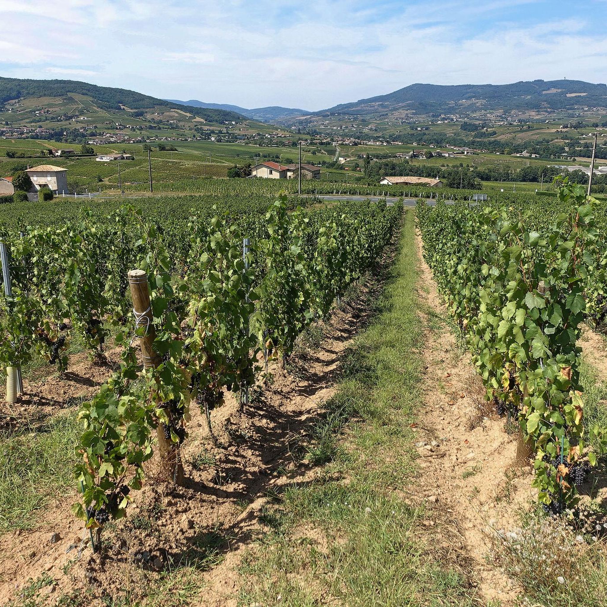
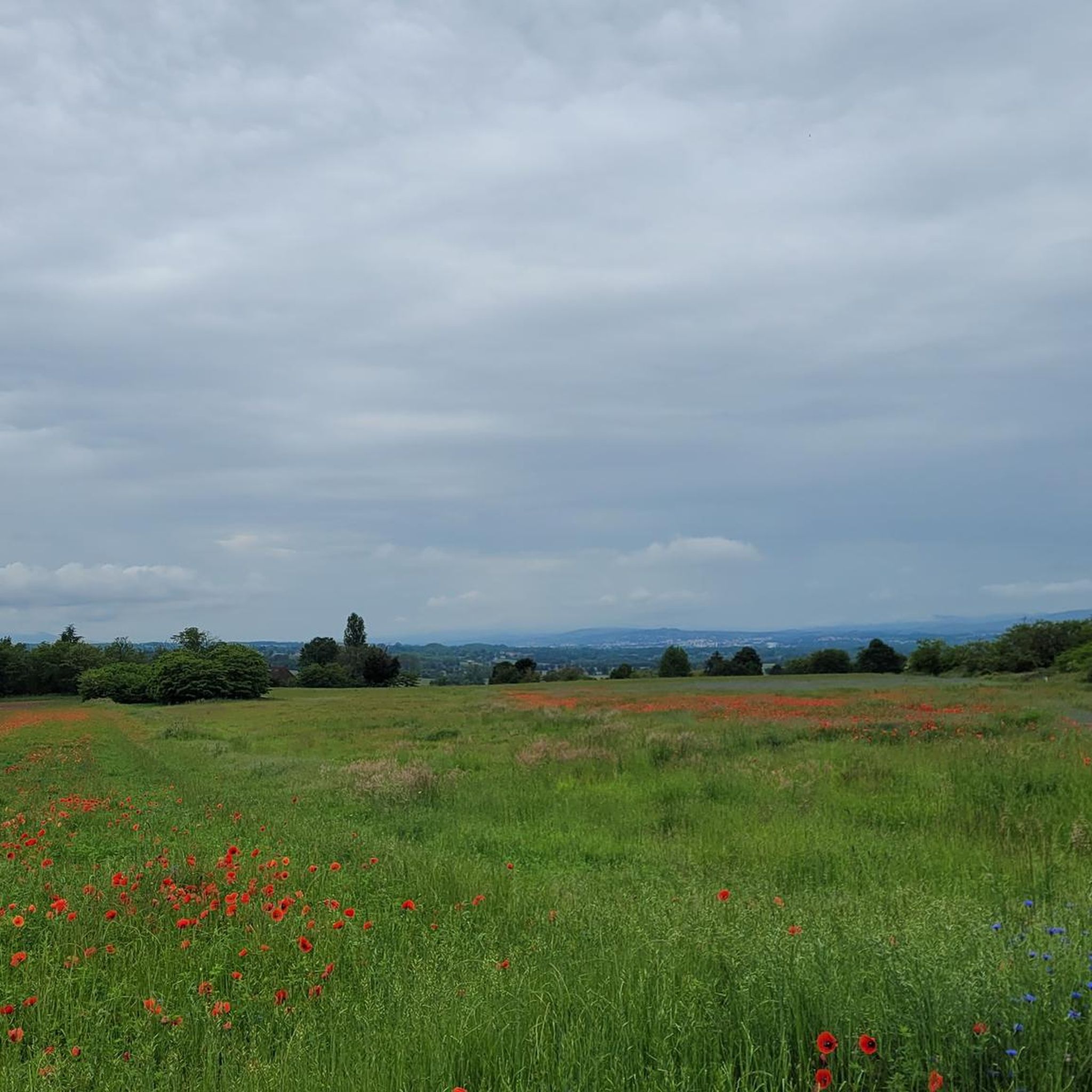
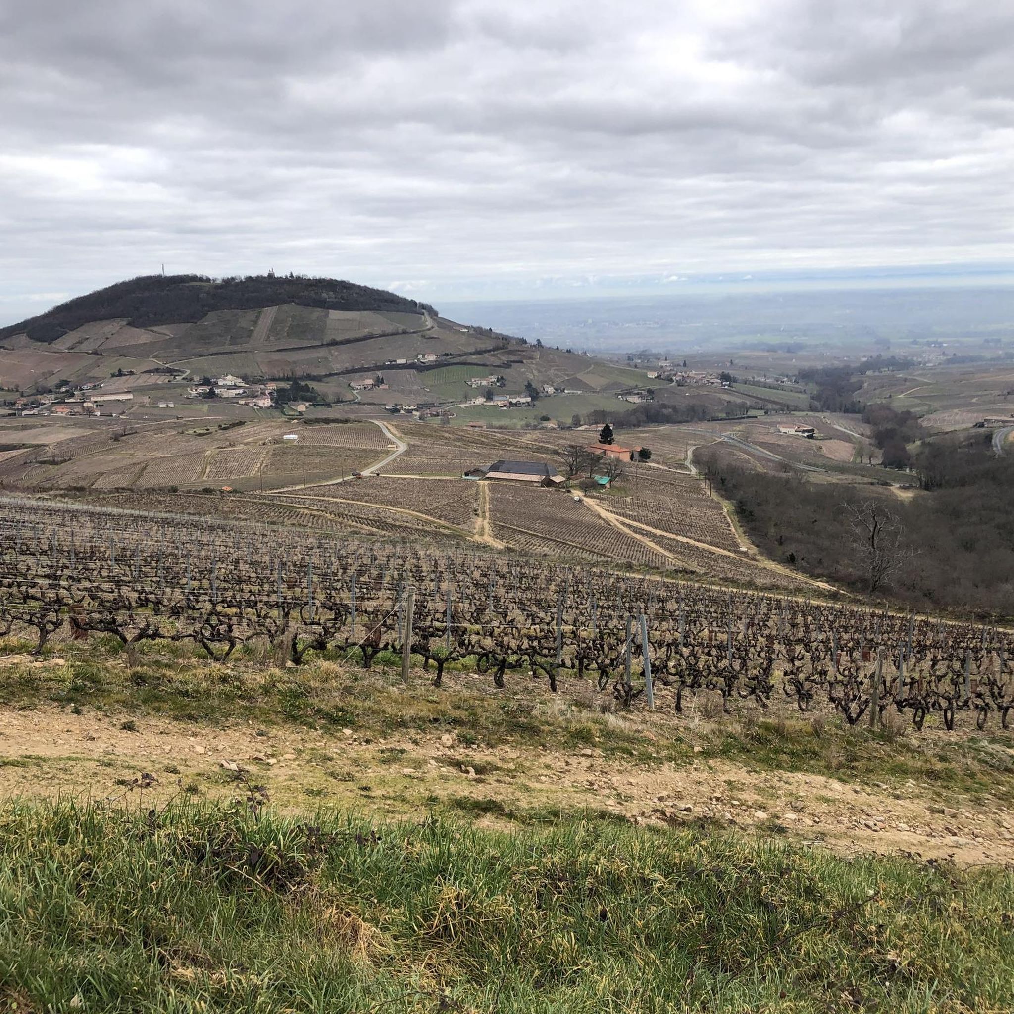
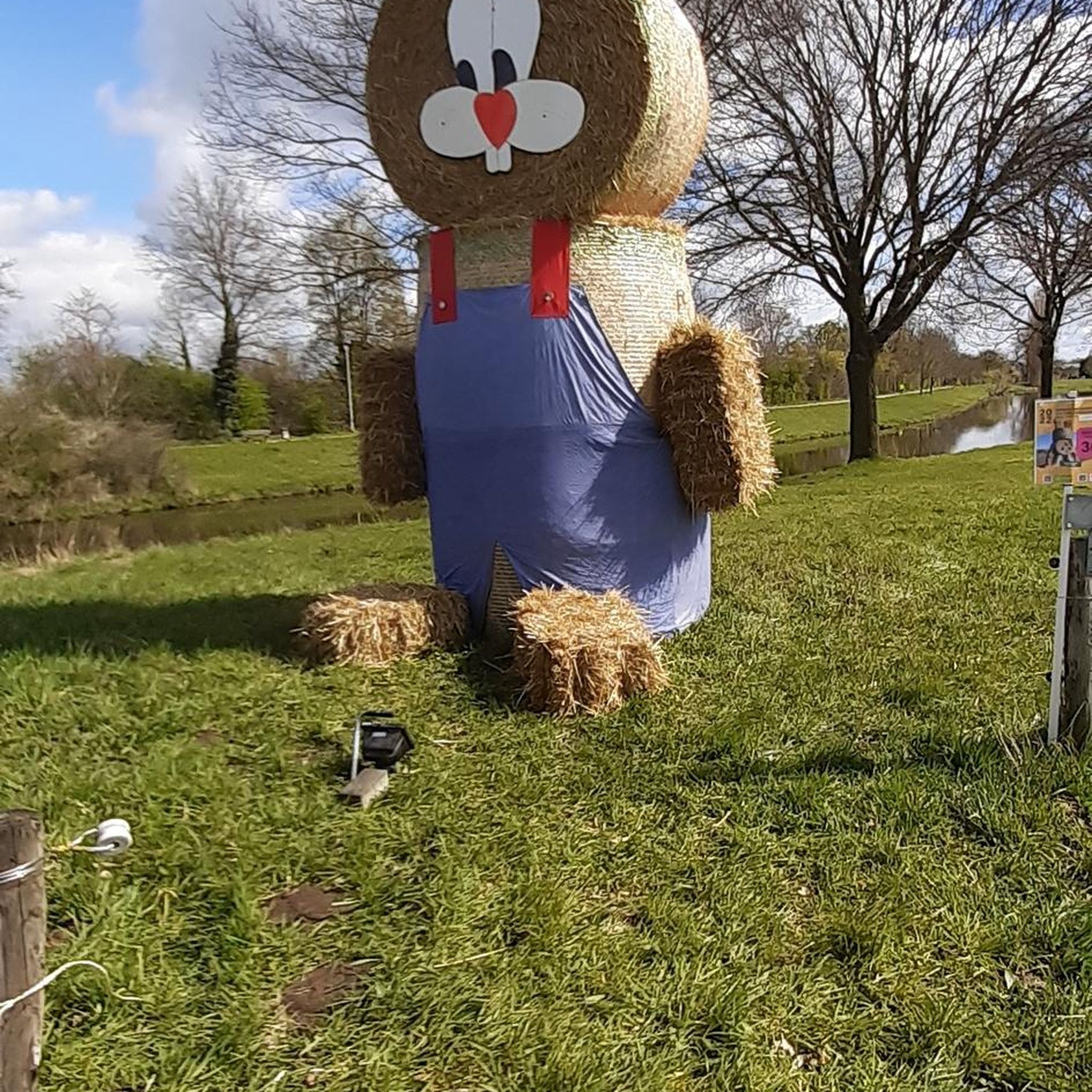
Tips from the Community

The Voie Bleue is a cycle route of nearly 700 kilometers that connects Lyon to Luxembourg. In the Ain department, it runs along pleasant towpaths suitable for all types of bicycles.
0
0

The Saône was described for the first time by Julius Caesar in his collection The Conquest of the Gauls. He describes this river as being so calm that one does not know in which direction it flows.
0
0

A path suitable for gravel bikes and travel bikes.
1
1

Very pretty gravel path, very rolling during off-peak hours. A little boring over time like most towpaths.
2
0
Frequently Asked Questions
How many running routes are available around Montmerle-sur-Saône?
There are over 15 dedicated running routes around Montmerle-sur-Saône, offering a variety of distances and difficulty levels. The komoot community has explored more than 1600 runs in the area, highlighting its popularity among joggers.
What kind of terrain can I expect on the running trails in Montmerle-sur-Saône?
The terrain is predominantly flat and accessible, especially along the tranquil Saône River. Many routes follow La Voie Bleue, which offers paved surfaces along former towpaths. You'll also find wide meadows, wet forests, and hedged farmland within the Val de Saône Classified Site. While mostly flat, some routes may offer distant views towards the Beaujolais mountains, hinting at slightly varied elevation.
Are there any circular running routes in the area?
Yes, Montmerle-sur-Saône offers several excellent circular running routes. A popular choice is the La Voie Bleue loop from Montmerle-sur-Saône, a moderate 8 km trail. Another well-liked option is the Tour des Minimes loop from Montmerle-sur-Saône, which covers about 12.5 km through the riverside landscape.
What are the best routes for beginners or those looking for an easy run?
The routes along the Saône River and sections of La Voie Bleue are generally flat and well-suited for easy runs. While specific 'easy' graded routes aren't listed, the overall flat nature of the riverside paths makes them ideal for beginners. Consider shorter loops or out-and-back sections along the river for a comfortable experience.
Can I bring my dog on the running trails?
The natural environment of the Val de Saône and the riverside paths are generally welcoming for dogs. However, it's always recommended to keep your dog on a leash, especially in protected natural areas like the Val de Saône Classified Site, to protect local wildlife and ensure a pleasant experience for all users. Check specific signage on individual routes for any restrictions.
Are there any interesting landmarks or attractions to see while running?
Absolutely! The Saône River itself is a central feature, with its tranquil banks and the ecologically rich Val de Saône Classified Site offering interpretive panels on local flora and fauna. You'll often run along the Towpath along the Saône. Nearby, the impressive Château de Fléchères, with its extensive gardens, provides a beautiful backdrop and can be incorporated into longer runs for varied scenery.
What do other runners enjoy most about jogging in Montmerle-sur-Saône?
The area is highly rated by the komoot community, with an average score of 4.3 stars from over 65 reviews. Runners often praise the tranquil riverside setting, the well-maintained paths of La Voie Bleue, and the diverse natural heritage of the Val de Saône. The sense of peace and the scenic views are frequently highlighted.
Is there parking available near the running routes?
Montmerle-sur-Saône, being a 'station verte' (green resort), generally offers convenient access to its outdoor amenities. While specific parking spots for each route aren't detailed, you can typically find parking within the town center or near popular access points to the riverbanks and La Voie Bleue.
How can I access the running trails using public transport?
Montmerle-sur-Saône is accessible via regional public transport. While specific bus routes directly to trailheads are not detailed, the town itself serves as a central hub. Once in Montmerle-sur-Saône, the main running paths along the Saône River and La Voie Bleue are easily reachable on foot from the town center.
What is the best season to go running in Montmerle-sur-Saône?
Montmerle-sur-Saône, with its 'village fleuri' status, is beautiful throughout the warmer months. Spring and autumn offer pleasant temperatures and vibrant natural scenery, making them ideal for running. Summer can also be enjoyable, especially in the mornings or evenings, with the shade provided by poplars along the riverbanks. Even in winter, the flat, accessible paths can be suitable for a refreshing run.
Are there any longer, more challenging running routes for experienced runners?
Yes, for those seeking a greater challenge, the Montmerle Bridge – Saône riverside loop from Montmerle-sur-Saône is a difficult 22.2 km (13.8 miles) path. This longer route provides extensive views along the Saône riverside and is perfect for experienced runners looking to push their limits.
Where can I find more information about the natural heritage of the Val de Saône?
The Val de Saône is a Classified Site known for its ecological richness, including wet forests, hedged farmland, islands, and oxbows. Interpretation panels along the paths educate visitors on local flora and fauna. For more detailed information, you can visit the official tourism website for the region: tourisme-val-de-saone.fr.
Most popular routes around Montmerle-Sur-Saône
Most popular attractions around Montmerle-Sur-Saône

Get inspired with the komoot mobile app


Explore more
Browse the best Running Trails & Routes in other regions.
