The best MTB trails around Ensigné
4.8
(3)
27
riders
7
rides
Mountain biking around Ensigné, located in Deux-Sèvres, France, offers routes through a densely wooded countryside. The terrain is characterized by forests, including the nearby Aulnay State Forest, and proximity to the Boutonne River. The region generally features gentle elevation changes, making it suitable for various skill levels. These natural features provide a scenic backdrop for mountain bike trails.
Best mountain bike trails around Ensigné
- The most popular mountain bike trail is Laundry – Colombier de Pierre Levée loop from Aulnay…
Last updated: November 1, 2026
4.5
(2)
7
riders
24.9km
01:44
190m
190m
Easy mountain bike ride.
5
riders
51.1km
03:39
420m
420m
Moderate mountain bike ride. Good fitness required.

6
riders
49.8km
03:38
300m
300m
Moderate mountain bike ride. Good fitness required. Advanced riding skills necessary.
2
riders
20.6km
01:19
50m
50m
Moderate mountain bike ride. Advanced riding skills necessary.
1
riders
24.1km
01:43
150m
150m
Easy mountain bike ride.
Get access to more routes and recommendations from other explorers.
Already have an account?
Our route recommendations are based on thousands of hikes, rides, and runs completed by other people on komoot.
Start today with a free account
Your next adventure awaits.



Tips from the Community


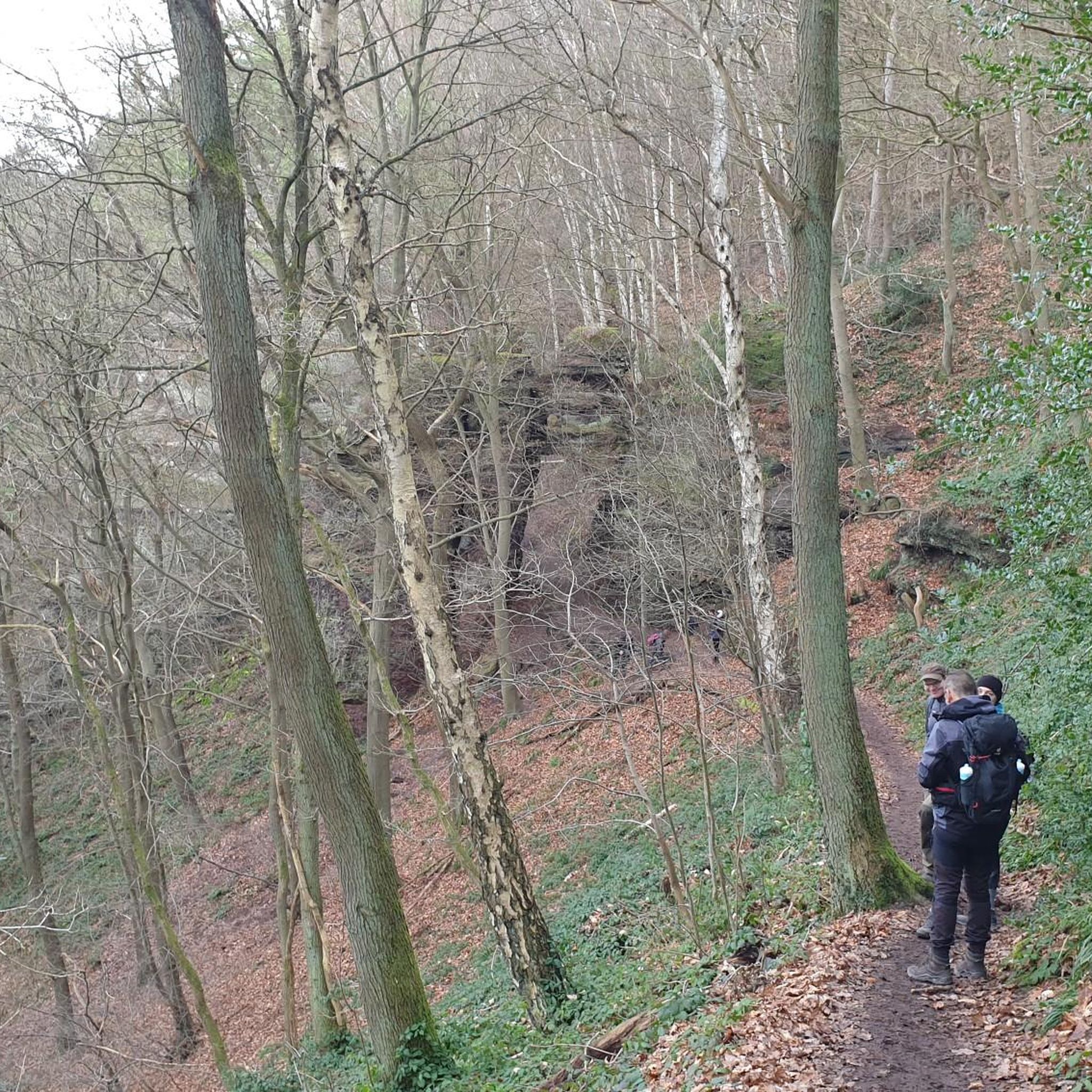
The Aulany forest covers approximately 2,000 hectares, shared between Charente-Maritime and Deux-Sèvres. Composed mainly of oaks and beeches, it is home to quite rich flora and fauna. It was also one of the most remarkable beech forests in the region, before the storm of 1999. The massif, under reconstruction, is one of the Natura 2000 sites in Charente-Maritime. You can discover remains from the Neolithic period, particularly around Aulnay.
3
1
Frequently Asked Questions
What kind of terrain can I expect on mountain bike trails around Ensigné?
Mountain biking around Ensigné features a densely wooded countryside, including areas near the Aulnay State Forest and the Boutonne River. The terrain generally has gentle elevation changes, offering a mix of flat to gently rolling landscapes.
Are there mountain bike trails for all skill levels in Ensigné?
The trails around Ensigné cater to easy and moderate skill levels. There are no difficult trails, making the area accessible for various riders looking for enjoyable routes.
What are some of the longer mountain bike routes available?
For a longer ride, consider the Mazières-sur-Béronne loop from Brioux-sur-Boutonne, which is a moderate 31.7 miles (51.1 km) route with an elevation gain of approximately 1,360 feet (415 meters). Another option is the Aulnay State Forest loop from Asnières-en-Poitou, a moderate 30.9 miles (49.8 km) trail.
Are there any easy mountain bike trails suitable for beginners?
Yes, an easy option is the Laundry – Colombier de Pierre Levée loop from Aulnay, which is 15.6 miles (25.1 km) long with a gentle climb of about 620 feet (189 meters). Another easy route is the Étang de Prérault loop from Vernoux-sur-Boutonne, covering 24.1 km with 152 meters of elevation gain.
What natural features or landmarks can I see along the mountain bike trails?
Many trails pass through or near the densely wooded areas, such as the Aulnay State Forest and Chizé Forest. You'll also encounter river valleys, particularly near the Boutonne River. Historically, the region has ties to the Knights Templar, with some villages featuring old fortifications and chapels.
Are there any circular mountain bike routes in the Ensigné area?
Yes, several routes are circular. Examples include the Laundry – Colombier de Pierre Levée loop from Aulnay, the Mazières-sur-Béronne loop from Brioux-sur-Boutonne, and the Aulnay State Forest loop from Asnières-en-Poitou.
What do other mountain bikers enjoy most about mountain biking in Ensigné?
The area is highly rated by the komoot community, with an average score of 4.75 stars from 3 reviews. Riders often praise the peaceful, densely wooded environment and the varied scenery through the local countryside.
Are there any historical sites or attractions near the mountain bike trails?
Yes, you can find historical sites such as the Saint-Pierre Church of Aulnay and the Château de Dampierre-sur-Boutonne, which also features a Baudet du Poitou Donkey Farm. These can be interesting stops during or after your ride.
What is the typical duration for mountain bike rides in this area?
Ride durations vary depending on the route and your pace. For example, the easy Laundry – Colombier de Pierre Levée loop from Aulnay typically takes around 1 hour 47 minutes, while longer moderate routes like the Aulnay State Forest loop from Asnières-en-Poitou can take about 3 hours 37 minutes.
Are there any trails that pass by lakes or ponds?
Yes, the Étang de Prérault loop from La Boucharderie and the Étang de Prérault loop from Vernoux-sur-Boutonne both offer routes that pass by the Étang de Prérault (Prérault Pond), providing scenic waterside views.
Most popular attractions around Ensigné

Get inspired with the komoot mobile app


Explore more
Browse the best MTB trails in other regions.
