The best walks and hikes around Augères
4.4
(29)
162
hikers
23
hikes
Hiking around Augères offers exploration of a rural commune in the Creuse department, characterized by agricultural areas, small villages, and the Leyrenne river. The terrain features varying altitudes from 417 to 522 meters, with the highest point at Puy de Villard. The region is known for its natural landscapes, including forests and valleys, providing diverse settings for outdoor activities.
Best hiking trails around Augères
- The most popular hiking route is Beautiful panorama – Bénévent-l'Abbaye loop from Bénévent-l'Abbaye, a 2.2…
Last updated: July 2, 2026
4.3
(3)
29
hikers
Easy hike. Great for any fitness level. Easily-accessible paths. Suitable for all skill levels.
4.3
(3)
13
hikers
Moderate hike. Good fitness required. Easily-accessible paths. Suitable for all skill levels.

Sign up for free
3.3
(3)
19
hikers
14.3km
04:00
290m
290m
Moderate hike. Good fitness required. Easily-accessible paths. Suitable for all skill levels.
4.0
(2)
11
hikers
11.2km
03:04
170m
170m
Moderate hike. Good fitness required. Easily-accessible paths. Suitable for all skill levels.
5.0
(1)
5
hikers
Hard hike. Very good fitness required. Easily-accessible paths. Suitable for all skill levels.
Get access to more routes and recommendations from other explorers.
Sign up for free
Already have an account?
Our route recommendations are based on thousands of hikes, rides, and runs completed by other people on komoot.
Start today with a free account
Your next adventure awaits.
Login or Signup

Tips from the Community

On the otters' (and fishermen's) trail towards Châtelus, this dam is impressive, especially its overflow which emerges from a cave and whose roar can be heard from afar.
0
0

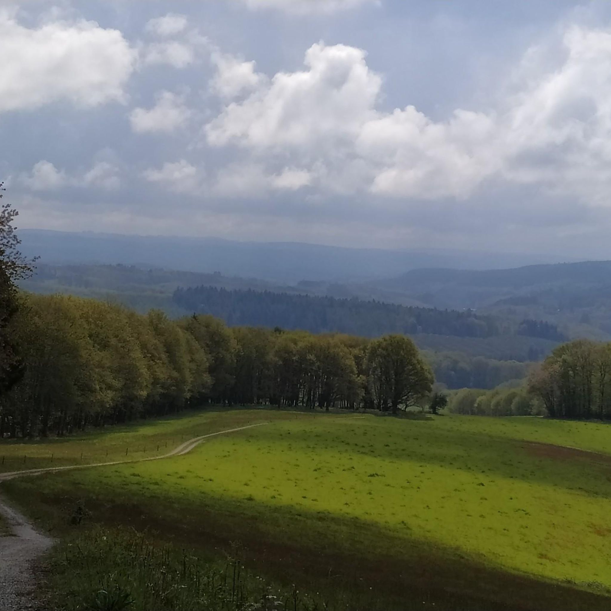
Quite steep trail. Magnificent view from the cliffs of the hill.
0
0
Pretty flowered bridge with geraniums crossing the Thaurion, a river with copper-brown water.
0
0
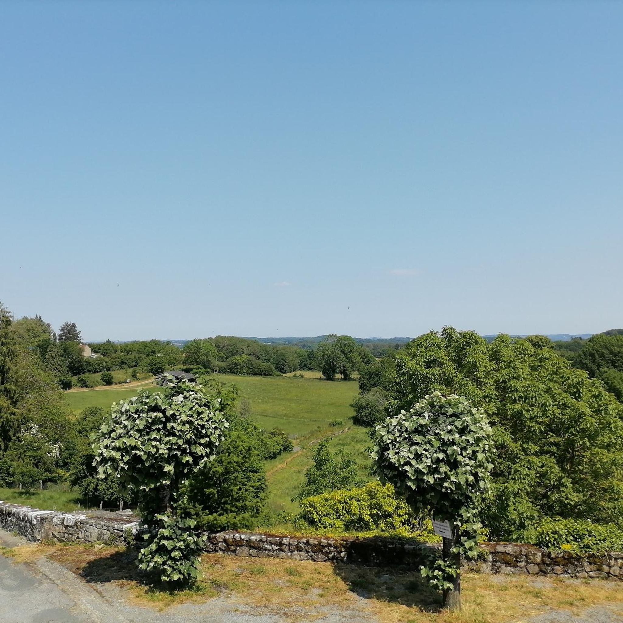
Beautiful view of the village and the valley from the fountain
0
0
(Sandy) beach supervised in summer
0
0
(Sandy) beach supervised in summer.
0
0

Benevent- the abbey is a pretty and dynamic little town in Creuse… passage compostelle: see the tourist office 😅… or m. The Mayor, inexhaustible about his city 👍 Brevent? Not know…
2
0

This furnished space allows you to enjoy the water during sunny days. Swimming is supervised in July and August from Tuesday to Sunday afternoon. A refreshment bar and the possibility of renting boats, canoes, pedal boats, and paddle boats complete the offer on this leisure base.
1
0
Frequently Asked Questions
How many hiking trails are available around Augères?
There are over 15 hiking routes around Augères, offering a variety of experiences. These trails range from easy strolls to more challenging paths, allowing you to explore the rural commune and its natural landscapes.
Are there any easy hiking routes suitable for beginners in Augères?
Yes, Augères offers several easy hiking routes perfect for beginners. For example, the Beautiful panorama – Bénévent-l'Abbaye loop from Bénévent-l'Abbaye is an easy 2.2-mile (3.5 km) trail that can be completed in under an hour, providing scenic views without significant elevation changes.
What kind of landscapes can I expect to see while hiking in Augères?
Hiking in Augères will take you through diverse landscapes characterized by agricultural areas, small villages, and hamlets. You'll find paths along the Leyrenne and Grandrieux rivers, and experience varying altitudes from 417 to 522 meters, with the highest point at Puy de Villard. The broader Creuse region is known for its authentic nature, forests, and valleys, offering picturesque riverside walks and expansive countryside views.
Are there any circular walks available in Augères?
Many of the trails around Augères are designed as loops, perfect for circular walks. An example is the Beautiful panorama – Bénévent-l'Abbaye loop from Bénévent-l'Abbaye, an easy 3.9-mile (6.2 km) path that offers expansive panoramas over the surrounding countryside.
What are some interesting landmarks or attractions to see near the hiking trails?
While hiking, you can explore several points of interest. Nearby attractions include the historic village of Bénévent-l'Abbaye, the ancient Dolmen du Four des Fades, and the unique Pierre La Grosle. The region also features the 15th-century church of St. Pierre and the 14th-century chapel de Villars, adding cultural depth to your outdoor excursions.
What do other hikers say about the trails in Augères?
The hiking routes in Augères are highly rated by the komoot community, with an average score of 4.3 stars from more than 20 reviews. Hikers often praise the quiet rural setting, the varied terrain, and the opportunity to combine physical activity with the discovery of local heritage.
Are there any longer or more challenging hikes for experienced hikers?
Yes, for those seeking a greater challenge, there are more difficult routes. The Beautiful panorama – Lantern of the Dead loop from Le Monteil is a difficult 17.9-mile (28.7 km) hike with significant elevation gain, offering a full day's adventure through the region's varied landscapes.
What is the best time of year to go hiking in Augères?
The Creuse department, where Augères is located, offers beautiful scenery throughout the year. Spring and autumn provide pleasant temperatures and vibrant colors, ideal for hiking. Summer is also suitable, though it can be warmer. Winter hiking is possible, but conditions may vary, especially at higher altitudes.
Are the hiking trails in Augères suitable for families with children?
Yes, many trails around Augères are suitable for families. The rural setting and varied terrain offer engaging walks for all ages. Look for the 'easy' graded routes, which typically have shorter distances and less challenging ascents, making them ideal for family outings.
Are there any hikes that offer particularly good viewpoints or panoramas?
Absolutely. The region is known for its scenic vistas. Routes like the Scenic Meadow View – Super Aussicht loop from Le Montbaron are specifically highlighted for their 'super Aussicht' (great views), offering expansive panoramas over the surrounding countryside and natural features.
How long do hikes around Augères typically take?
Hike durations vary significantly based on the route's length and difficulty. Shorter, easy trails like the 2.2-mile loops can take less than an hour. Moderate routes, such as the Beautiful panorama – Was für ein schönes Gebäude loop from Bénévent-l'Abbaye, which is 6.6 miles (10.6 km), typically take around 3 hours. Longer, difficult routes can extend to a full day of hiking.
Most popular attractions around Augères

Get inspired with the komoot mobile app


Explore more
Browse the best Hikes in other regions.
