The best walks and hikes around Genouilly
4.6
(24)
87
hikers
16
hikes
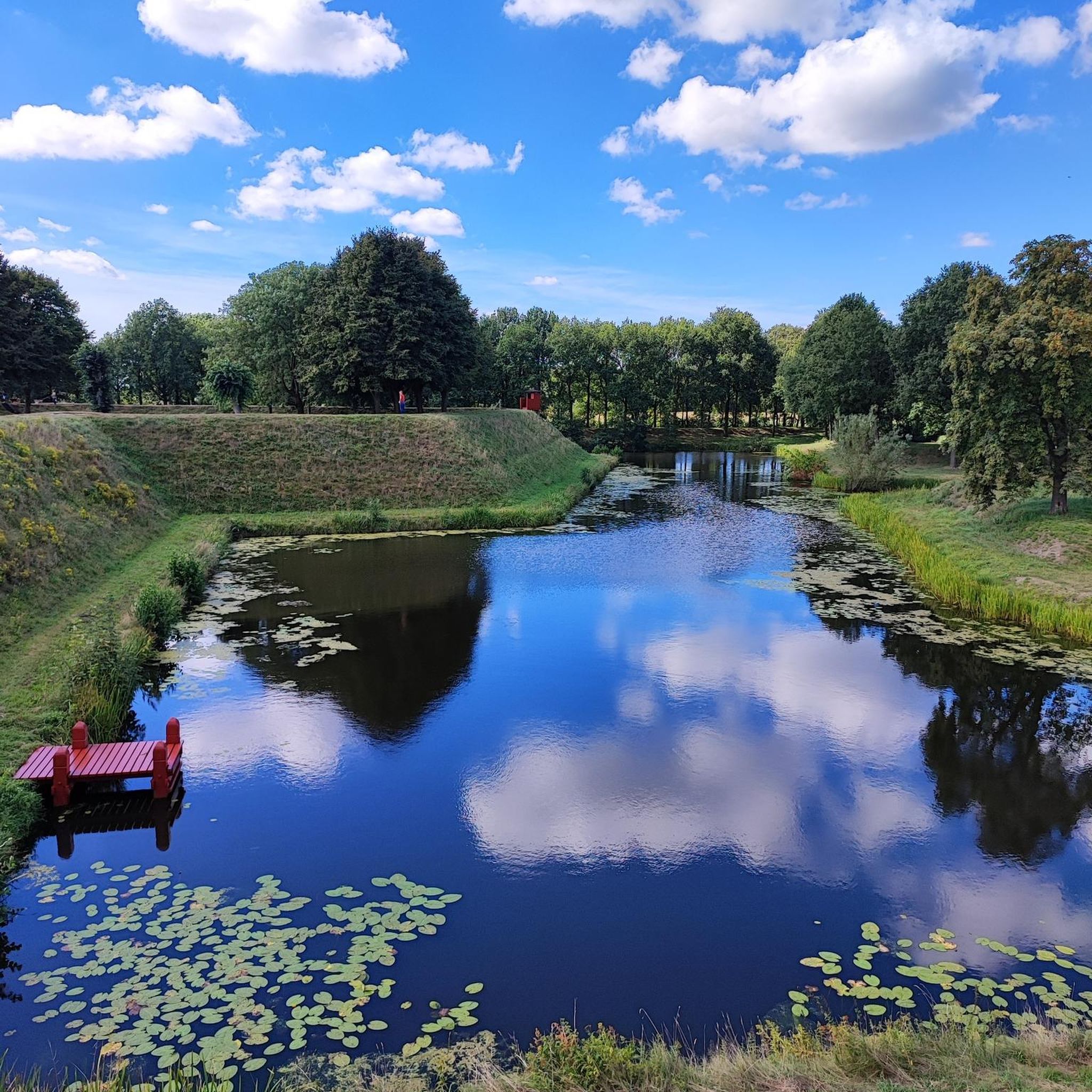
Hiking around Genouilly offers routes through a landscape characterized by gentle hills and river valleys. The region features a mix of agricultural land and scattered woodlands, providing varied scenery for outdoor activities. Elevations are generally low, with most trails having minimal ascent. This makes the area suitable for hikers seeking less strenuous paths.
Best hiking trails around Genouilly
- The most popular hiking route is Circuit 1 de la Bruère — Méry-sur-Cher, a 7.8 miles (12.6 km) trail that takes…
Last updated: July 2, 2026
4.3
(4)
9
hikers
12.6km
03:18
100m
100m
Moderate hike. Good fitness required. Easily-accessible paths. Suitable for all skill levels.
4.6
(5)
15
hikers
10.8km
02:48
70m
70m
Moderate hike. Good fitness required. Easily-accessible paths. Suitable for all skill levels.

Sign up for free
5
hikers
11.3km
02:55
50m
50m
Moderate hike. Good fitness required. Easily-accessible paths. Suitable for all skill levels.
5.0
(3)
5
hikers
10.6km
02:43
40m
40m
Moderate hike. Good fitness required. Easily-accessible paths. Suitable for all skill levels.
5.0
(2)
5
hikers
13.4km
03:27
70m
70m
Moderate hike. Good fitness required. Easily-accessible paths. Suitable for all skill levels.
Get access to more routes and recommendations from other explorers.
Sign up for free
Already have an account?
Our route recommendations are based on thousands of hikes, rides, and runs completed by other people on komoot.
Start today with a free account
Your next adventure awaits.
Login or Signup



Tips from the Community

Pretty medieval village worth the detour!
0
0

Very beautiful little village
0
0


Collegiate church from the end of the 11th century, which became a parish church at the time of the Revolution. The building is built according to a Benedictine plan and has been listed since 1886. One of its particularities lies in its twisted bell tower, which is covered with chestnut shingles.
0
0
Forest bordering, to the south, the Natura 2000 zone of Sologne. You will find beautiful trails to breathe north of Méry-sur-Cher and Vierzon
3
0
One of the 96 locks of the Berry canal, now downgraded. 2.70m wide, these locks could accommodate so-called "small berrichons" boats 27.50 m long by 2.60 m wide maximum. The shovel at the Vèves lock was replaced in 2020 to better regulate the water flow.
3
0
Frequently Asked Questions
How many hiking trails are there around Genouilly?
There are currently 11 hiking routes available around Genouilly on komoot. These trails range from easy strolls to moderate excursions, offering a variety of options for different skill levels.
Are there easy hikes suitable for beginners or families in Genouilly?
Yes, Genouilly offers several easy hikes perfect for beginners or families. The region's landscape of gentle hills and low elevations makes many paths less strenuous. An excellent option is the Château de Rozay loop from Saint-Georges-sur-la-Prée, which is 3.9 miles (6.3 km) long and generally takes about 1 hour 41 minutes to complete.
What kind of scenery can I expect on hikes around Genouilly?
Hiking around Genouilly offers a diverse landscape characterized by gentle hills, tranquil river valleys, and a mix of agricultural land and scattered woodlands. You'll experience varied scenery, from open fields to more secluded wooded areas, providing a peaceful outdoor experience.
Are there any circular walks available in Genouilly?
Many of the hiking routes around Genouilly are circular, allowing you to start and end at the same point without retracing your steps. Examples include the popular Circuit 1 de la Bruère — Méry-sur-Cher and the Hiking loop from Mennetou-sur-Cher.
What are the typical lengths and durations of hikes in Genouilly?
Hikes in Genouilly vary in length, with many moderate routes ranging from 6 to 8 miles (10 to 13 km), typically taking 2.5 to 3.5 hours. Shorter, easier options are also available, such as the Château de Rozay loop at 3.9 miles (6.3 km), which can be completed in under 2 hours.
Can I bring my dog on the hiking trails in Genouilly?
Generally, dogs are welcome on hiking trails in the Genouilly region, especially on paths through agricultural land and woodlands. However, it's always advisable to keep your dog on a leash, particularly near livestock or in protected natural areas, and to check for any specific local regulations.
Are there any historical sites or points of interest to see while hiking?
Yes, the Genouilly area is rich in local history and charm. You might encounter historical points along trails like the Château de Rozay loop. Other notable attractions nearby include the Medieval village Mennetou-sur-Cher and the impressive Collegiate Church of Saint-Austrégésile of Saint-Outrille.
What do other hikers say about the trails in Genouilly?
The trails in Genouilly are highly rated by the komoot community, with an average score of 4.6 stars from over 17 reviews. Hikers often praise the region's varied terrain, peaceful atmosphere, and the well-maintained paths that make for enjoyable outings.
Is there parking available near the trailheads in Genouilly?
While specific parking information for each trailhead isn't always detailed, most rural hiking areas in Genouilly, especially those starting from villages or popular points, typically offer designated parking spaces or roadside parking options. It's recommended to check local maps or komoot tour details for specific starting points.
What is the best time of year to go hiking in Genouilly?
The best time for hiking in Genouilly is generally during the spring (April to June) and autumn (September to October) months. During these periods, the weather is usually mild and pleasant, and the natural scenery is particularly vibrant with spring blooms or autumn colors. Summer can also be enjoyable, but it's advisable to start early to avoid the midday heat.
Are there any places to eat or drink near the hiking trails?
Yes, you can find options for refreshments near some of the trails. For instance, the Canal-Side Bar and Wildlife Spot in Mennetou-sur-Cher offers a pleasant stop for a drink or a meal, often accessible from nearby routes like the Hiking loop from Mennetou-sur-Cher.
Are there any longer, more challenging hikes for experienced hikers?
While Genouilly is known for its gentle terrain, there are moderate routes that offer a good challenge for experienced hikers. Trails like the Circuit 1 de la Bruère — Méry-sur-Cher, at 7.8 miles (12.6 km) with nearly 100m of elevation gain, provide a longer and more engaging experience through the rural surroundings.
Most popular attractions around Genouilly

Get inspired with the komoot mobile app


Explore more
Browse the best Hikes in other regions.
