The best walks and hikes around Gièvres
4.0
(16)
93
hikers
22
hikes
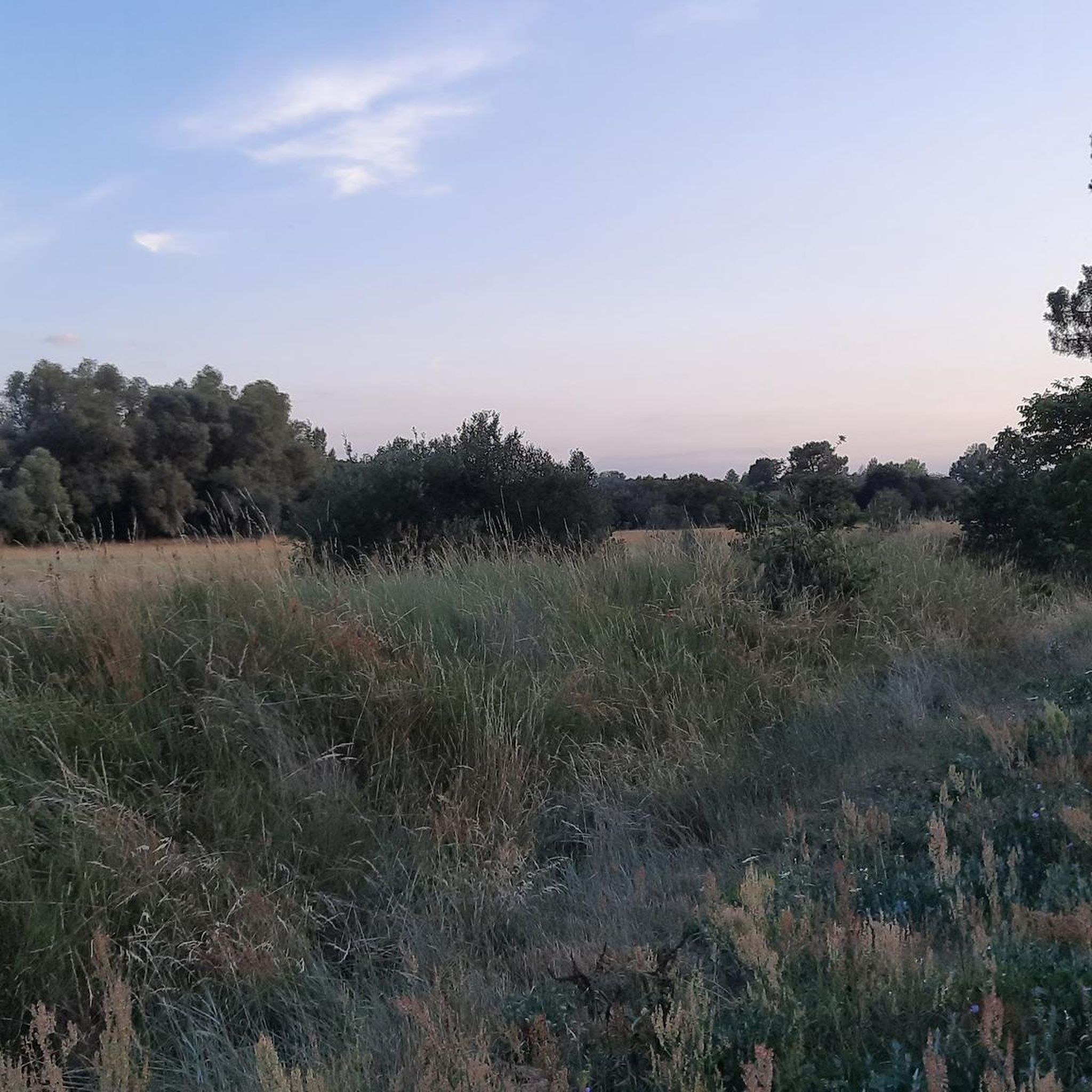
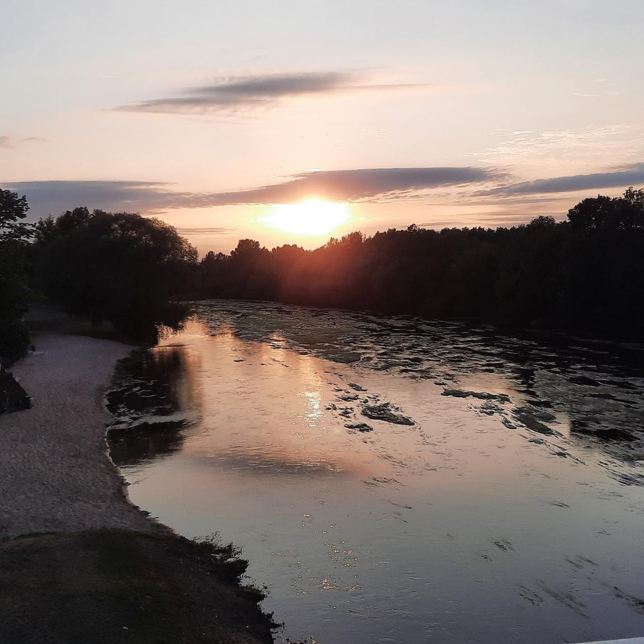
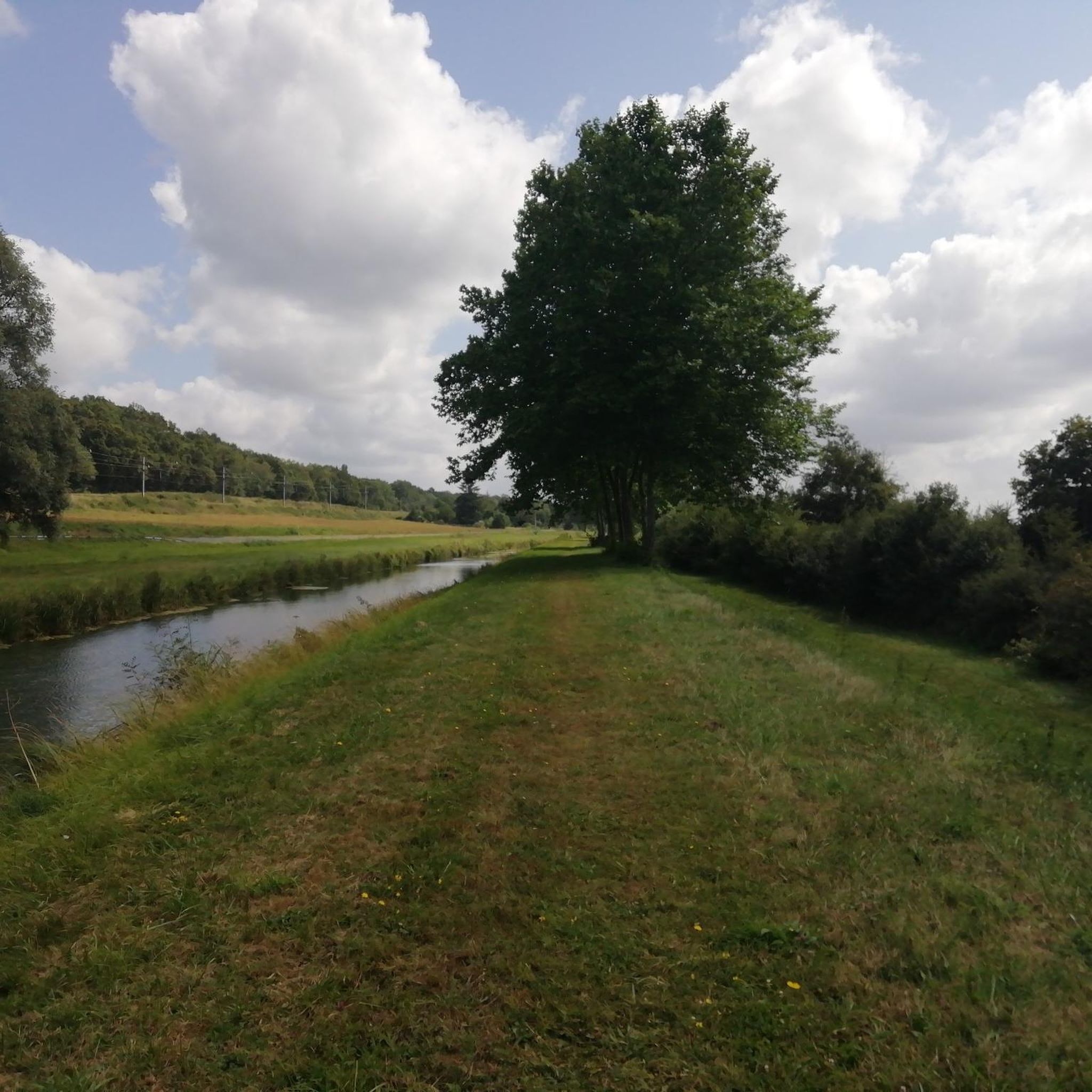
Hiking around Gièvres offers access to the diverse landscapes of the Sologne Natural Region, characterized by dense forests, open plains, and numerous ponds. The terrain is generally flat, with minimal elevation changes, making it suitable for various activity levels. The area is also notable for its waterways, including the Cher and Sauldre rivers, and the Berry Canal, which contribute to its ecological richness and provide scenic routes.
Best hiking trails around Gièvres
- The most popular hiking route is Étang des…
Last updated: July 2, 2026
4.3
(4)
16
hikers
6.56km
01:40
10m
10m
Easy hike. Great for any fitness level. Easily-accessible paths. Suitable for all skill levels.
2.0
(1)
14
hikers
12.6km
03:14
50m
50m
Moderate hike. Good fitness required. Easily-accessible paths. Suitable for all skill levels.

Sign up for free
3.0
(2)
10
hikers
22.0km
05:38
80m
80m
Hard hike. Very good fitness required. Easily-accessible paths. Suitable for all skill levels.
1
hikers
6.60km
01:41
20m
20m
Easy hike. Great for any fitness level. Easily-accessible paths. Suitable for all skill levels.
3
hikers
5.86km
01:31
30m
30m
Easy hike. Great for any fitness level. Easily-accessible paths. Suitable for all skill levels.
Get access to more routes and recommendations from other explorers.
Sign up for free
Already have an account?
Our route recommendations are based on thousands of hikes, rides, and runs completed by other people on komoot.
Start today with a free account
Your next adventure awaits.
Login or Signup


Frequently Asked Questions
How many hiking trails are available around Gièvres?
There are over 20 hiking routes recorded on komoot around Gièvres, ranging from easy strolls to more challenging excursions. The broader Sologne region, where Gièvres is located, boasts an impressive 240 kilometers of trails, including 17 specific loops suitable for various levels.
What is the typical terrain and difficulty level for hiking in Gièvres?
The terrain around Gièvres is generally flat, characterized by dense forests, open plains, and numerous ponds, with minimal elevation changes. You'll find routes suitable for all levels, from easy strolls to moderate excursions. Komoot lists 8 easy, 11 moderate, and 2 difficult routes in the area.
Are there any circular hiking routes in Gièvres?
Yes, many of the trails around Gièvres are designed as circular routes, allowing you to start and end at the same point. For example, the Étang des Landes loop from Longueville is an easy 6.6 km circular path, and the La Naubière loop from Romorantin-Lanthenay offers a moderate 9.6 km option.
What natural features or landmarks can I expect to see while hiking in Gièvres?
Gièvres is nestled within the Sologne Natural Region, so you'll encounter diverse landscapes including dense forests, open plains, and numerous ponds. The area is also crossed by the Cher and Sauldre rivers, as well as the Berry Canal, offering scenic waterside paths. The Malzoné nature reserve, with its 32-hectare pond, is a significant attraction for nature observation.
Are there any family-friendly hiking options in Gièvres?
Absolutely. The generally flat terrain and minimal elevation changes make many routes suitable for families. Easy trails like the Étang Bezard loop from Lassay-sur-Croisne, a 7.6 km path, are great for a leisurely outing with children.
Are dogs allowed on the hiking trails in Gièvres?
While specific regulations can vary, generally, dogs are welcome on most hiking trails in the Sologne region, provided they are kept on a leash, especially in natural reserves or areas with wildlife. Always ensure to clean up after your pet.
What is the best time of year to go hiking in Gièvres?
The Sologne region offers pleasant hiking conditions throughout much of the year. Spring brings blooming flora, while autumn showcases vibrant fall colors in the forests. Summer is also popular, but it's advisable to hike in the mornings or late afternoons to avoid the midday heat. Winter can offer tranquil, crisp walks, especially through the forests.
How long do hikes typically take around Gièvres?
Hikes around Gièvres vary in length and duration. Easy routes, such as the 6.6 km Étang des Landes loop from Longueville, can take around 1 hour 40 minutes. Moderate trails, like the 12.6 km Romorantin Castle loop from Romorantin-Lanthenay, might take closer to 3 hours 15 minutes, depending on your pace.
Where can I find more information about hiking in the Sologne region?
For additional details on hiking and other activities in the broader Sologne region, you can visit the local tourism website: tourisme-portesdesologne.fr.
What do other hikers enjoy most about hiking in Gièvres?
The area is highly rated by the komoot community, with an average score of 3.9 stars from over 10 reviews. Reviewers often praise the tranquil views, the diverse landscapes of forests and ponds, and the well-maintained paths that make for enjoyable outings.
Are there any accessible trails for people with reduced mobility or wheelchairs?
The Sologne region is known for its extensive network of trails, and some of the 17 specific hiking loops are designed to be accessible for people with reduced mobility. Due to the generally flat terrain, many paths may be suitable, but it's always best to check specific trail conditions beforehand.

Get inspired with the komoot mobile app


Explore more
Browse the best Hikes in other regions.
