The best running trails around Troubat
4.4
(22)
910
runners
137
runs
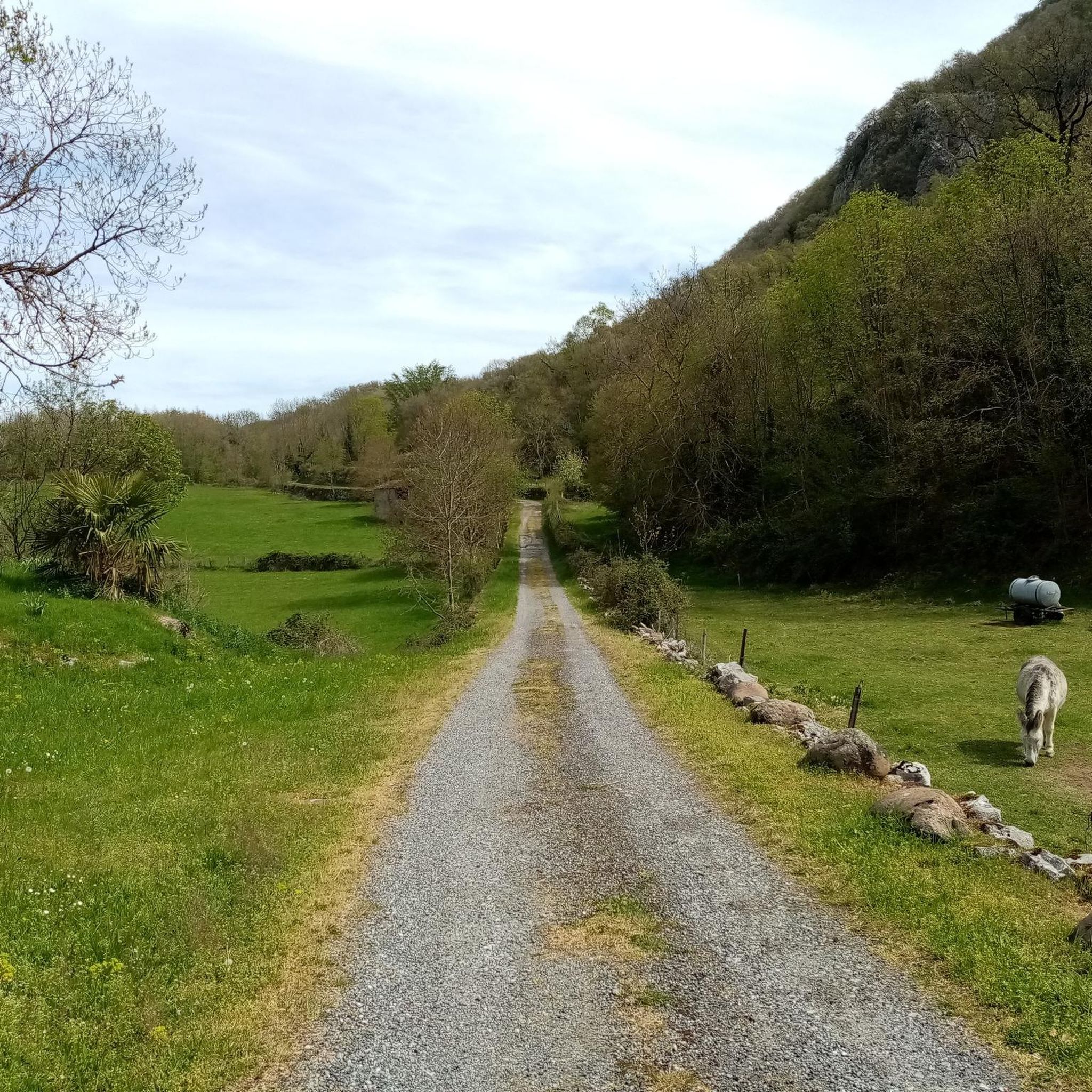
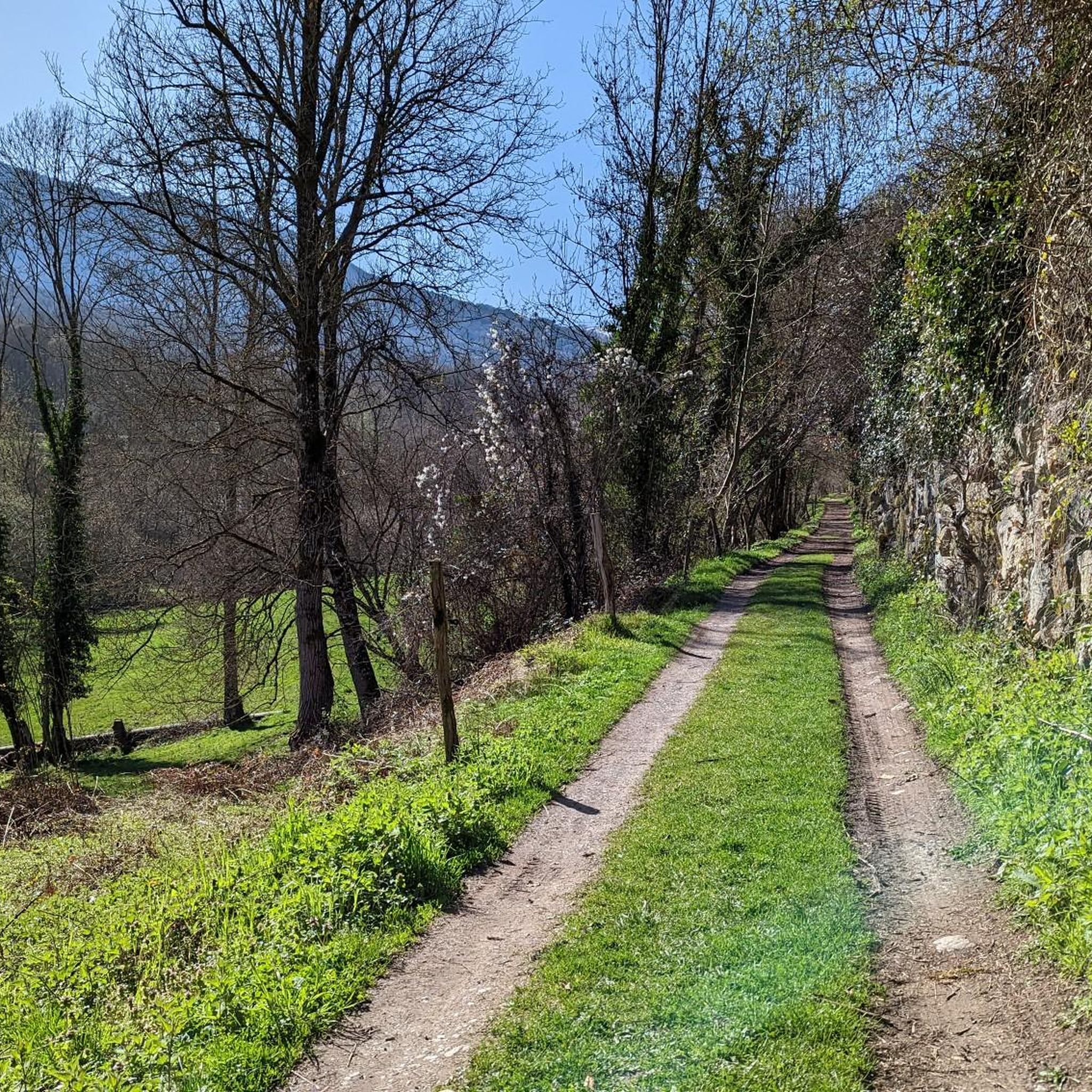
Jogging around Troubat offers a diverse and scenic environment within the Hautes-Pyrénées department of France. The region is characterized by rugged and varied terrain, with altitudes ranging from 519 to 1052 meters, providing opportunities for challenging running routes with significant climbs and descents. Situated on the right bank of the Ourse river and at the foot of the dramatic Troubat cliff, the area features a mix of wooded paths, open valleys, and mountain scenery. The surrounding Barousse Valley and broader…
Last updated: August 28, 2026
45
runners
13.3km
02:14
940m
940m
Hard run. Very good fitness required. Mostly paved surfaces. Suitable for all skill levels.
4.0
(1)
30
runners
20.3km
02:52
1,000m
1,000m
Hard run. Very good fitness required. Sure-footedness, sturdy shoes and alpine experience required.

Sign up for free
12
runners
20.5km
03:19
1,320m
1,320m
Hard run. Very good fitness required. Sure-footedness, sturdy shoes and alpine experience required.
5.0
(2)
25
runners
10.3km
01:16
350m
350m
Hard run. Very good fitness required. Mostly paved surfaces. Suitable for all skill levels.
11
runners
32.7km
05:06
1,900m
1,900m
Hard run. Very good fitness required. Sure-footedness, sturdy shoes and alpine experience required.
Get access to more routes and recommendations from other explorers.
Sign up for free
Already have an account?
Our route recommendations are based on thousands of hikes, rides, and runs completed by other people on komoot.
Start today with a free account
Your next adventure awaits.
Login or Signup
Tips from the Community

A family-friendly hike or mountain bike ride around the world, very easy level. For an exceptional viewpoint.
0
0

Small and very pretty town at the foot of Port Balès. It is worth stopping at the town fountain to take a breather before the climb to Port de Balès.
0
0

The pretty little village of Mauléon-Barousse marks the start of the ascent towards the port of Balès. The climb is 18.9 kilometers long with an average of 6.3%, some of which exceed 14%.
2
0

Hike worth the detour. Different car parks at different altitudes to make the exit more difficult.
1
0

Small pass, small road, great pleasure.
0
0

Mauléon- Barousse marks the end of the first part of the low-sloping pass and the start of the steeper slopes.
1
0

Very helpful then nothing more comes up.
2
0
Frequently Asked Questions
How many running routes are available around Troubat?
There are over 100 running routes in and around Troubat, offering a wide variety of distances and elevation profiles. Whether you're looking for an easy jog or a challenging trail run, you'll find options to suit your fitness level.
What kind of terrain can I expect on jogging routes in Troubat?
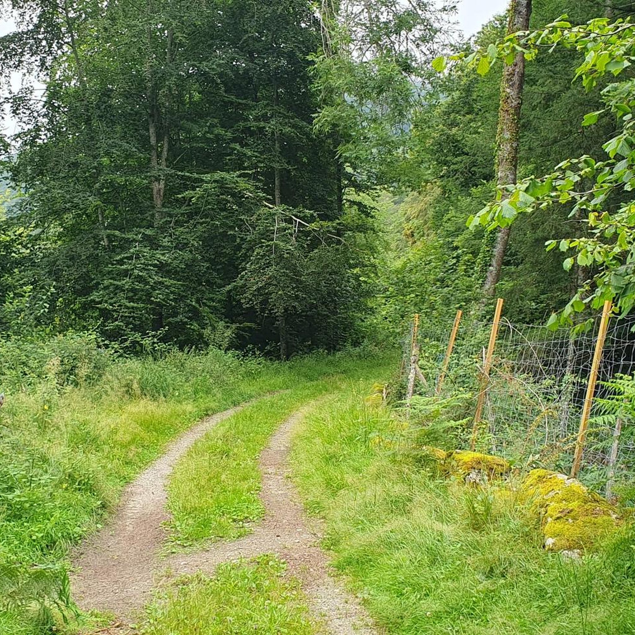
Jogging routes in Troubat feature a diverse terrain, from the serene paths along the Ourse river to challenging ascents through the Pyrenean foothills. You'll encounter dense beech and fir forests, steep-sided glacial valleys, and stunning mountainous vistas, with altitudes ranging from 519 to 1,052 meters.
Are there any easy running routes for beginners in Troubat?
While many routes in Troubat are rated moderate to difficult due to the mountainous terrain, there are a few easier options available. These typically offer less elevation gain and shorter distances, perfect for those new to trail running or looking for a more relaxed jog. Komoot lists 4 easy routes in the area.
Can I find circular running routes in Troubat?
Yes, many of the running routes around Troubat are circular, allowing you to start and finish at the same point. For example, the challenging Tourroc Peak loop from Sacoué is a popular circular option, covering about 12 km with significant elevation.
What are some notable landmarks or viewpoints I might see while running in Troubat?
The region offers breathtaking Pyrenean views. You might encounter impressive limestone cliffs, the scenic Ourse river, and various historical and geological points of interest. Specific highlights include Gar Peak and Col des Ares, which offer expansive panoramas.
Are there any running routes that pass by water features?
The Ourse river flows through the Barousse valley, providing a picturesque element to the landscape. While specific riverside jogging paths are not explicitly detailed, the presence of the river often implies potential for flat, winding routes alongside the water, ideal for a steady run amidst natural beauty.
What do other runners say about the trails in Troubat?
The running routes in Troubat are highly rated by the komoot community, with an average score of 4.5 stars from over 16 reviews. Runners often praise the stunning Pyrenean views, the varied terrain, and the sense of immersion in nature that the dense forests and glacial valleys provide.
Is there public transport available to reach running trailheads in Troubat?
Public transport options directly to specific trailheads in Troubat may be limited. Given its rural setting in the Hautes-Pyrénées, it's generally recommended to use a car to access the starting points of most running routes, especially those deeper in the Barousse valley.
Where can I park my car when accessing running routes in Troubat?
Parking is typically available in the villages near the trailheads, such as Troubat itself or nearby Sacoué and Mauléon-Barousse. Look for designated parking areas or roadside spots where permitted, especially when starting routes like the Tourroc Peak – Mortis Pass loop from Sacoué.
Are there any longer, more challenging running routes for experienced trail runners?
Absolutely. Troubat is well-suited for experienced trail runners seeking a challenge. Routes like the Mauléon-Barousse – Tourroc Peak loop from Bramevaque, spanning over 32 km with significant elevation gain, offer demanding ascents and rewarding descents through rugged mountainous terrain.
What is the best time of year for running in Troubat?
The best time for running in Troubat is generally from spring through autumn when the weather is milder and trails are clear of snow. Summer offers lush green landscapes, but be prepared for warmer temperatures. Spring and autumn provide cooler conditions and vibrant scenery, ideal for longer runs.
Most popular attractions around Troubat

Get inspired with the komoot mobile app


Explore more
Browse the best Running Trails & Routes in other regions.
