The best running trails around Hallivillers
4.4
(52)
587
runners
83
runs
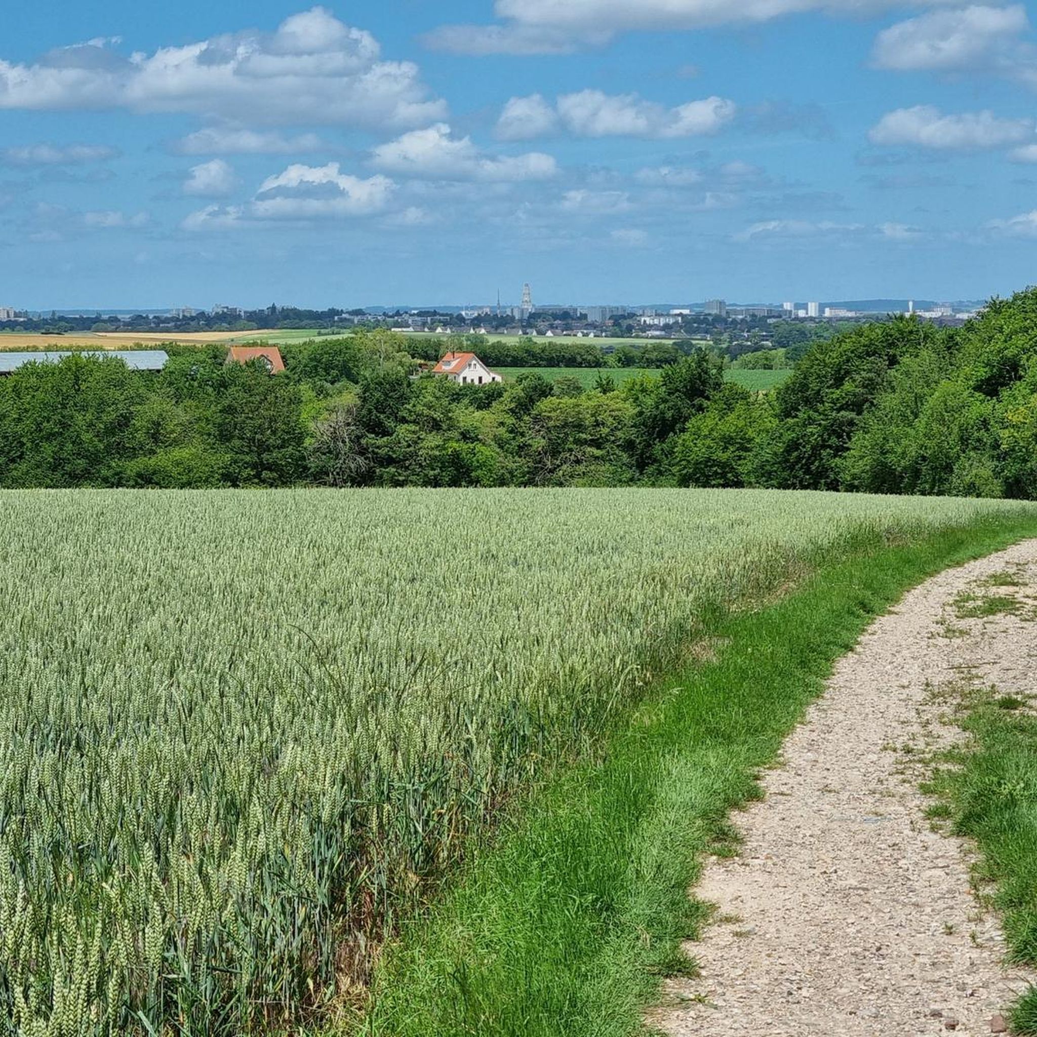
Jogging routes Hallivillers traverse a rural commune in the Somme department, characterized by open spaces and natural landscapes. The terrain features an elevation range of 86 to 158 meters, providing varied experiences with gentle inclines and descents. This environment, rich in fields, small woodlands, and quiet country roads, is conducive to outdoor exercise. Established hiking circuits within the area are suitable for running, offering opportunities to explore the local countryside.
Best jogging routes around Hallivillers
- The most popular jogging route…
Last updated: July 5, 2026
17
runners
11.3km
01:16
90m
90m
Moderate run. Good fitness required. Mostly paved surfaces. Suitable for all skill levels.
14
runners
7.41km
00:54
70m
70m
Moderate run. Good fitness required. Mostly paved surfaces. Suitable for all skill levels.

Sign up for free
5.0
(1)
4
runners
15.3km
01:48
220m
220m
Hard run. Very good fitness required. Mostly paved surfaces. Suitable for all skill levels.
3
runners
5.67km
00:36
50m
50m
Moderate run. Good fitness required. Mostly paved surfaces. Suitable for all skill levels.
4
runners
11.7km
01:15
100m
100m
Moderate run. Good fitness required. Mostly paved surfaces. Suitable for all skill levels.
Get access to more routes and recommendations from other explorers.
Sign up for free
Already have an account?
Our route recommendations are based on thousands of hikes, rides, and runs completed by other people on komoot.
Start today with a free account
Your next adventure awaits.
Login or Signup




Tips from the Community

Frequently Asked Questions
How many running routes are available in Hallivillers?
Hallivillers offers a wide selection of running routes, with over 80 trails available for you to explore. These routes cater to various fitness levels, ensuring there's something for everyone.
What kind of terrain can I expect on the running routes around Hallivillers?
The running routes in Hallivillers feature a diverse terrain, characterized by its rural setting. You'll encounter gentle inclines and descents, as the elevation ranges from 86 to 158 meters. Expect to run through fields, small woodlands, and quiet country roads, offering a peaceful and scenic backdrop for your exercise.
Are there easy running routes suitable for beginners or casual joggers?
Yes, Hallivillers has several easy running routes perfect for beginners or those looking for a relaxed jog. For instance, the Berny Pond – Étang de Berny loop from Jumel is an easy 2.7-mile (4.4 km) trail that offers a peaceful run around the pond.
What are some moderate running options for those seeking a bit more challenge?
For a moderate challenge, you can try the Plan d'eau loop from Paillart, which is a 7.0-mile (11.3 km) path circling a body of water with scenic views. Another popular choice is the Running loop from Folleville, a 4.6-mile (7.4 km) trail through rural landscapes.
Are there any longer or more difficult running trails in the Hallivillers area?
Yes, for runners seeking a more demanding experience, there are difficult routes available. An example is the Running loop from La Faloise, which spans over 9.5 miles (15.3 km) and features more significant elevation changes, providing a good workout.
What natural features or landmarks can I see while running in Hallivillers?
While running in Hallivillers, you can enjoy the commune's natural environment, including fields and woodlands. Notable natural features nearby include Berny Pond, which offers a serene setting. You might also encounter the Path along the Noye from Guyancourt to Remiencourt, providing pleasant riverside views.
Are there any historical or cultural points of interest near the running routes?
Yes, the region has some interesting historical sites. For example, you could explore the area around Essertaux Castle or discover the remains of a Gallo-Roman theater, adding a cultural dimension to your outdoor activity.
What do other runners enjoy most about jogging in Hallivillers?
The running routes in Hallivillers are highly rated by the komoot community, with an average score of 4.5 stars from over 50 reviews. Runners often praise the tranquil rural character, the varied topography, and the network of trails through fields and woodlands, which offer a refreshing escape into nature.
Is Hallivillers a good place for family-friendly running or walking?
Hallivillers's rural character and the presence of numerous established hiking circuits, many of which are suitable for jogging, make it a good option for families. The varied terrain, with gentle inclines, can provide engaging experiences for different ages, especially on the easier, shorter loops.
Are there options for circular running routes in Hallivillers?
Yes, many of the running routes around Hallivillers are designed as circular loops, allowing you to start and finish at the same point. The Berny Pond – Étang de Berny loop from Jumel and the Plan d'eau loop from Paillart are excellent examples of circular routes that offer convenience and varied scenery.
How can I find parking near the running trails in Hallivillers?
As a rural commune with dispersed housing, Hallivillers generally offers accessible parking options near trailheads or in village centers. While specific parking areas for each route aren't always detailed, the nature of the area suggests that finding a suitable spot to park before your run should be straightforward.
What is the best time of year to go running in Hallivillers?
The best time to go running in Hallivillers is typically during spring, summer, and early autumn. These seasons offer pleasant weather conditions for outdoor activities, allowing you to fully enjoy the natural landscapes of fields and woodlands. Always check local weather forecasts before heading out.
Most popular routes around Hallivillers
Most popular attractions around Hallivillers

Get inspired with the komoot mobile app


Explore more
Browse the best Running Trails & Routes in other regions.
