The best walks and hikes around Saint-Aubin-Rivière
4.9
(15)
87
hikers
18
hikes
Hiking around Saint-Aubin-Rivière offers varied terrain, characterized by its unique "larris" landscape, which features Mediterranean-like colors and scents. The region includes winding paths that ascend to panoramic viewpoints overlooking the Liger valley. Trails also lead through wooded sections shaded by maple and beech trees, with some routes featuring steep sections.
Best hiking trails around Saint-Aubin-Rivière
- The most popular hiking route is On height loop from Saint-Aubin-Rivière, a 5.5 miles (8.9 km) trail that takes 2 hours 26 minutes to…
Last updated: July 18, 2026
4.5
(2)
15
hikers
8.91km
02:26
140m
140m
Moderate hike. Good fitness required. Easily-accessible paths. Suitable for all skill levels.
4.5
(2)
11
hikers
Easy hike. Great for any fitness level. Easily-accessible paths. Suitable for all skill levels.

Sign up for free
5.0
(1)
7
hikers
8.86km
02:27
160m
160m
Moderate hike. Good fitness required. Easily-accessible paths. Suitable for all skill levels.
5.0
(1)
3
hikers
9.71km
02:38
140m
140m
Moderate hike. Good fitness required. Easily-accessible paths. Suitable for all skill levels.
3
hikers
Hard hike. Very good fitness required. Easily-accessible paths. Suitable for all skill levels.
Get access to more routes and recommendations from other explorers.
Sign up for free
Already have an account?
Our route recommendations are based on thousands of hikes, rides, and runs completed by other people on komoot.
Start today with a free account
Your next adventure awaits.
Login or Signup



Tips from the Community

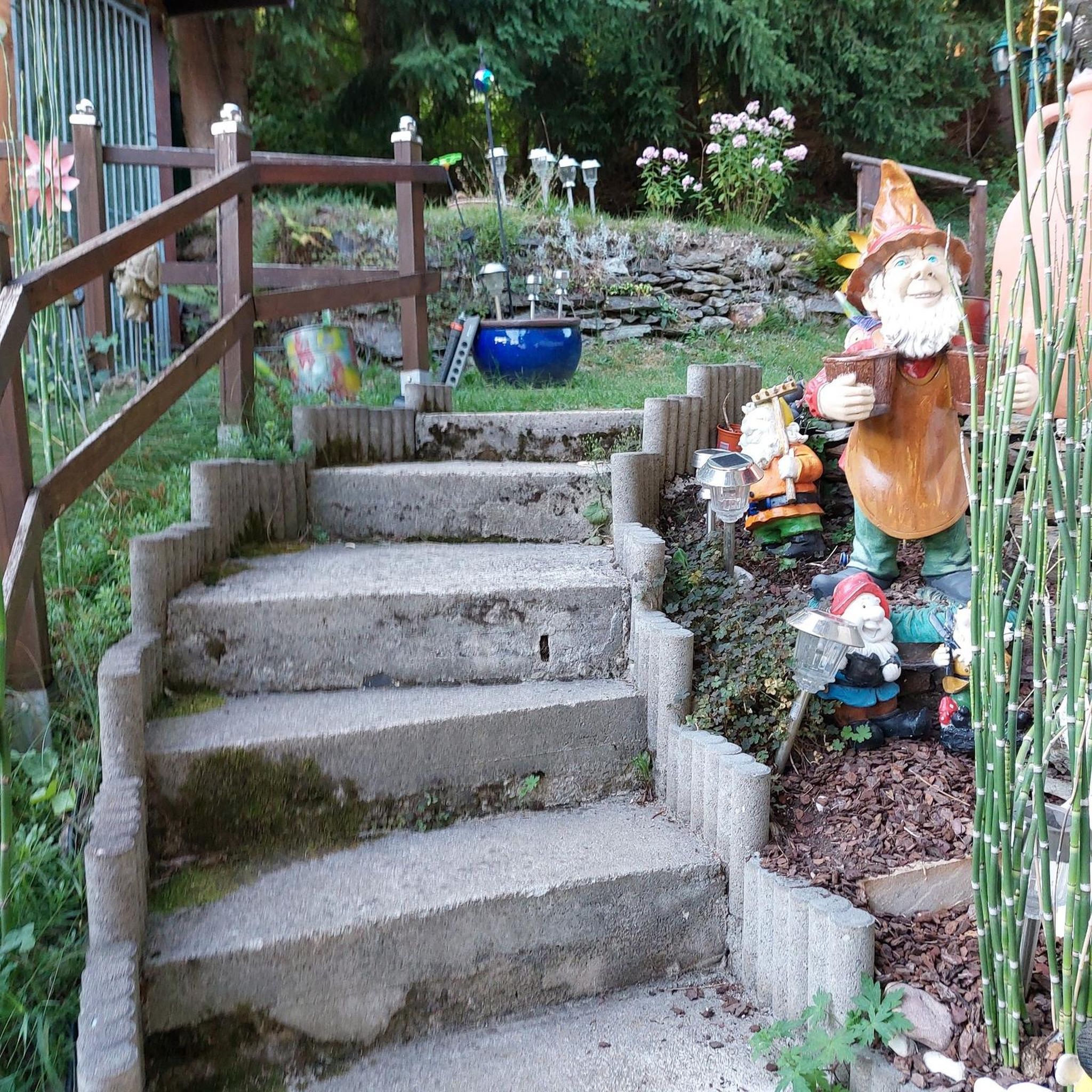
It's quite nice when you're tired of the asphalt, but it only feels like 10 meters, after which you're back on the road. At least after that, there's no asphalt, but the only nice part is a forest path. It's actually only worth it to go to the parking lot at the activity area, sit on one of the benches, and briefly walk into the forest. But "worth it" is an exaggeration.
0
0


...who would come up with such an idea?
0
0
Frequently Asked Questions
How many hiking trails are available in Saint-Aubin-Rivière?
There are over 15 hiking trails around Saint-Aubin-Rivière, offering a variety of experiences. The komoot community has recorded 17 routes in total, ranging from easy strolls to more challenging moderate hikes.
What kind of landscape can I expect on hikes in Saint-Aubin-Rivière?
The region is known for its unique 'larris' landscape, which features surprising Mediterranean-like colors and scents, a distinct characteristic for northern France. You'll also find winding paths that ascend to panoramic viewpoints overlooking the Liger valley, as well as charming wooded sections shaded by maple and beech trees. Some routes include pastoral elements where sheep graze.
What is the general difficulty level of hikes in Saint-Aubin-Rivière?
The hikes in Saint-Aubin-Rivière primarily range from easy to moderate. Out of the 17 available routes, 3 are classified as easy, making them suitable for beginners or a relaxed outing, while 14 are moderate, offering a bit more challenge with varied terrain and elevation changes.
Are there any easy hiking trails suitable for beginners or a relaxed walk?
Yes, there are several easy trails. For a gentle experience, consider the Wooden walkway – Mistletoe Tree With Lake View loop from Nesle-Normandeuse. This 6.1 km path features a pleasant wooden walkway and scenic lake views, making it ideal for a relaxed outing.
Are the trails in Saint-Aubin-Rivière suitable for families with children?
Many of the trails, especially the easier ones, are suitable for families. The varied landscape with wooded paths and open views can be engaging for children. For a family-friendly option, the Wooden walkway – Mistletoe Tree With Lake View loop from Nesle-Normandeuse is a good choice due to its easy difficulty and interesting features.
Can I bring my dog on the hiking trails in Saint-Aubin-Rivière?
Generally, dogs are welcome on most public hiking trails in the Saint-Aubin-Rivière area, provided they are kept under control, preferably on a leash, and that you clean up after them. Always be mindful of local regulations, especially in areas with grazing livestock.
Are there any circular walks in Saint-Aubin-Rivière?
Yes, many of the routes in the area are designed as circular walks, allowing you to start and end at the same point. Examples include the moderate On height loop from Saint-Aubin-Rivière, which offers expansive views, and the On height loop from Andainville, leading through varied terrain.
Where can I find parking for the hiking trails in Saint-Aubin-Rivière?
The main promenade for the 'larris' landscape often starts conveniently along the road connecting Saint-Aubin-Rivière to Andainville, near a bridge over the Liger, just past a water mill. Parking is typically available near these common starting points, though specific parking areas may vary by route. It's advisable to check the route details on komoot for precise starting locations and parking suggestions.
What are the notable natural features or viewpoints along the trails?
The primary natural feature is the unique 'larris' landscape itself, with its distinct flora and Mediterranean feel. As you hike, you'll be rewarded with panoramic views dominating the Liger valley from strategic viewpoints along the corniche. The trails also wind through charming covered sections shaded by maple and beech trees, offering a varied and pleasant walking environment.
What do other hikers enjoy most about hiking in Saint-Aubin-Rivière?
The area is highly rated by the komoot community, with an average score of 4.9 stars from over 10 reviews. Reviewers often praise the unique 'larris' landscape, the expansive views over the Liger valley, and the peaceful, varied terrain that includes both open sections and charming wooded paths. The well-maintained nature of the trails is also frequently highlighted.
Are there any longer or more challenging moderate hikes in the area?
For those seeking a longer moderate hike, the On height loop from Le Quesne is a good option. This route covers approximately 9.7 km and involves significant elevation changes, typically taking around 2 hours and 38 minutes to complete, offering a rewarding experience for hikers looking for a bit more challenge.
Is there a specific trail that highlights the 'larris' landscape?
The trails directly within the Les Larris de Saint-Aubin-Rivière area are specifically designed to showcase this unique landscape. While relatively short, these paths offer an immersive experience of the Mediterranean-like colors and scents characteristic of the larris. For more information on this specific itinerary, you can visit somme-tourisme.com.
What is the best time of year to hike in Saint-Aubin-Rivière?
The 'larris' landscape, with its unique flora, is particularly vibrant in spring and early summer when wildflowers are in bloom, offering a beautiful display of colors and scents. Autumn also provides pleasant hiking conditions with cooler temperatures and changing foliage in the wooded sections. While hiking is possible year-round, these seasons often offer the most picturesque and comfortable experiences.
Most popular routes around Saint-Aubin-Rivière
Most popular attractions around Saint-Aubin-Rivière

Get inspired with the komoot mobile app


Explore more
Browse the best Hikes in other regions.
