The best gravel rides around Manéhouville
5.0
(2)
31
riders
4
rides
Gravel biking around Manéhouville offers routes through a landscape characterized by diverse terrain, including quiet roads, agricultural plateaus, and verdant valleys. The region features forests, orchards, and open fields, with the River Scie contributing to the local scenery. This varied topography provides surfaces for gravel bikes, ranging from gentle paths to more challenging ascents. Its location in Normandy allows for exploration of both rural areas and proximity to coastal regions.
Best gravel bike trails around Manéhouville
- The most popular gravel…
Last updated: October 22, 2026
5
riders
70.0km
04:32
690m
690m
Hard gravel ride. Very good fitness required. Mostly paved surfaces.
9
riders
50.6km
03:11
500m
500m
Hard gravel ride. Very good fitness required. Mostly paved surfaces.

7
riders
Hard gravel ride. Very good fitness required. Mostly paved surfaces.
3
riders
Moderate gravel ride. Good fitness required. Mostly paved surfaces.
5.0
(2)
5
riders
48.2km
03:12
640m
640m
Hard gravel ride. Very good fitness required. Mostly paved surfaces.
Our route recommendations are based on thousands of hikes, rides, and runs completed by other people on komoot.
Start today with a free account
Your next adventure awaits.
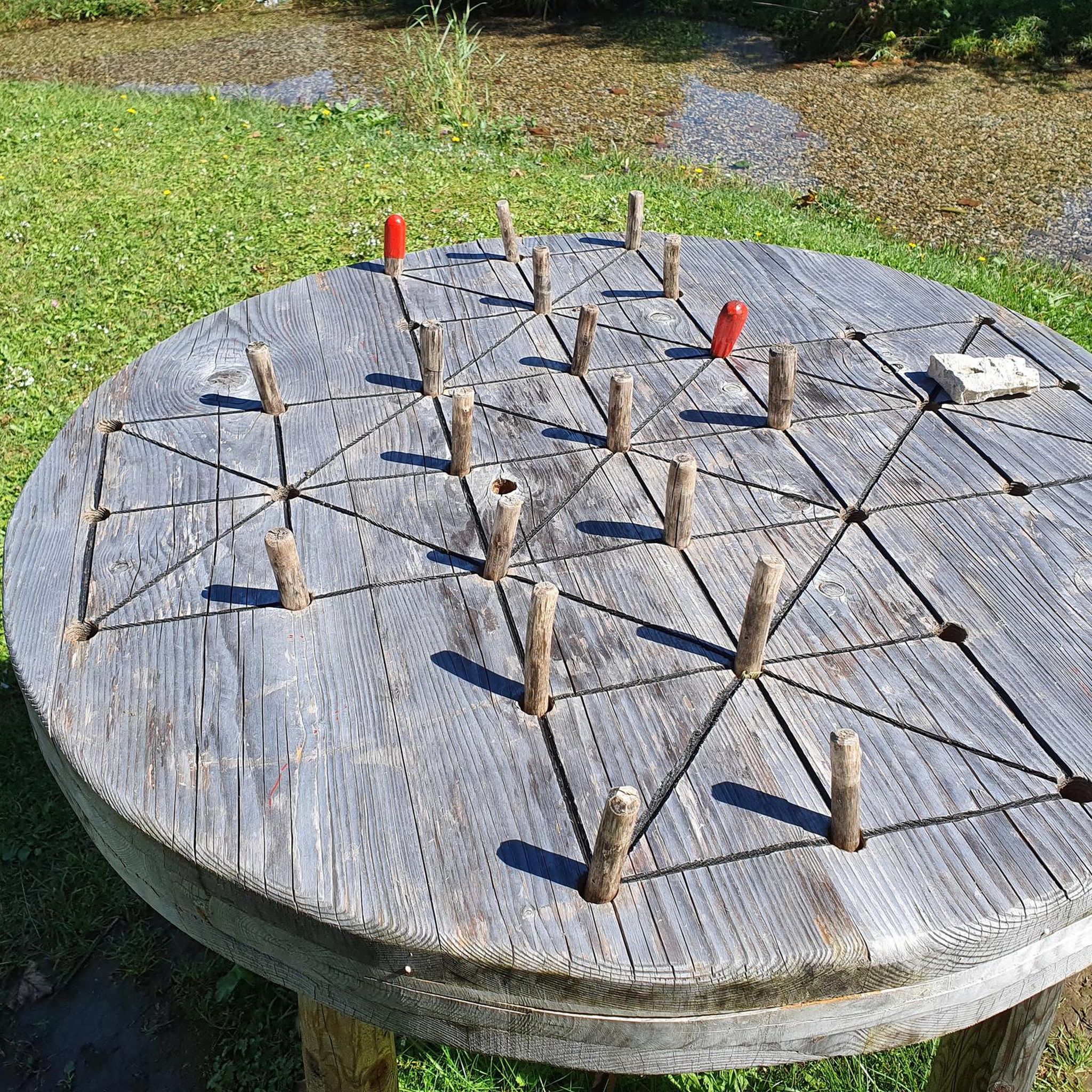
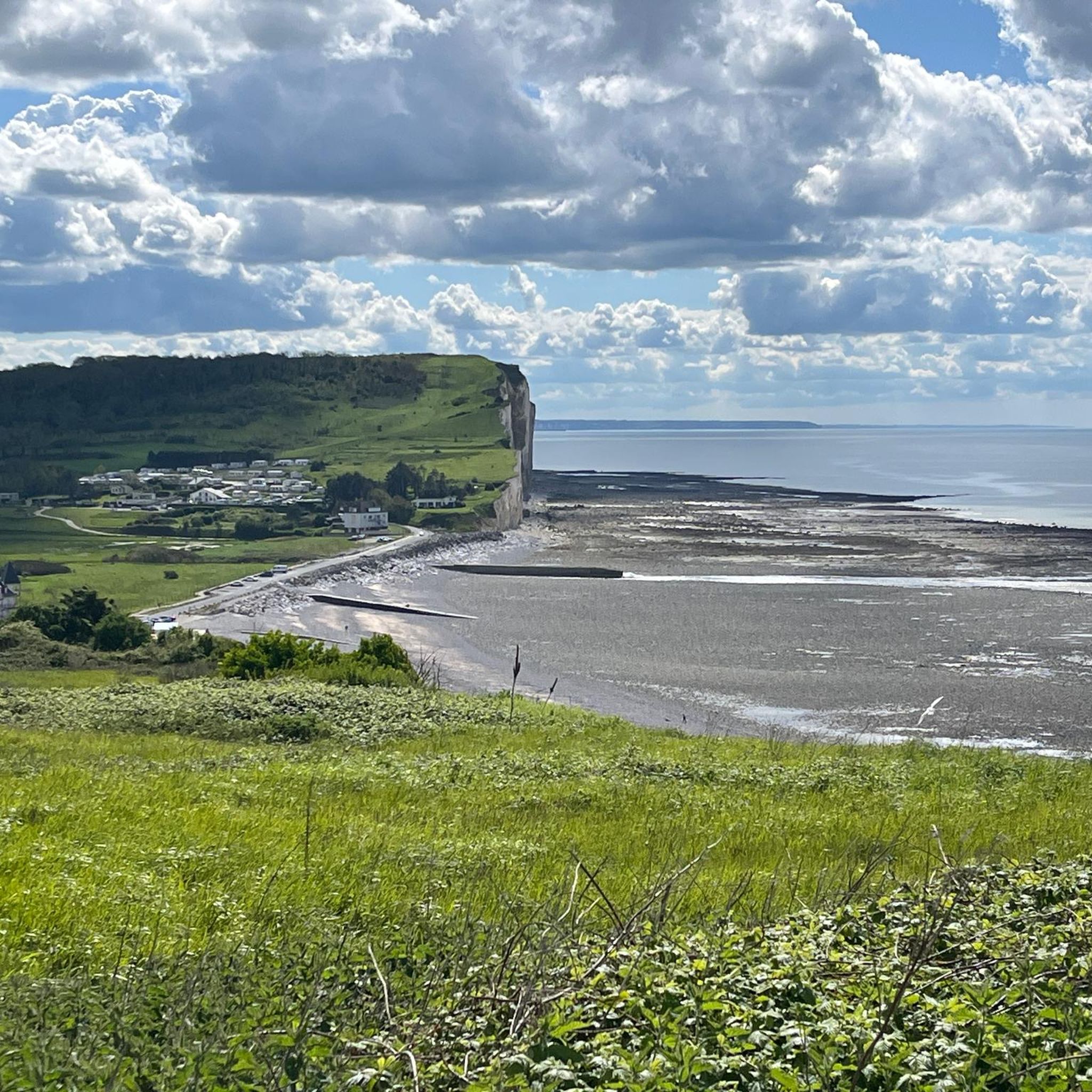
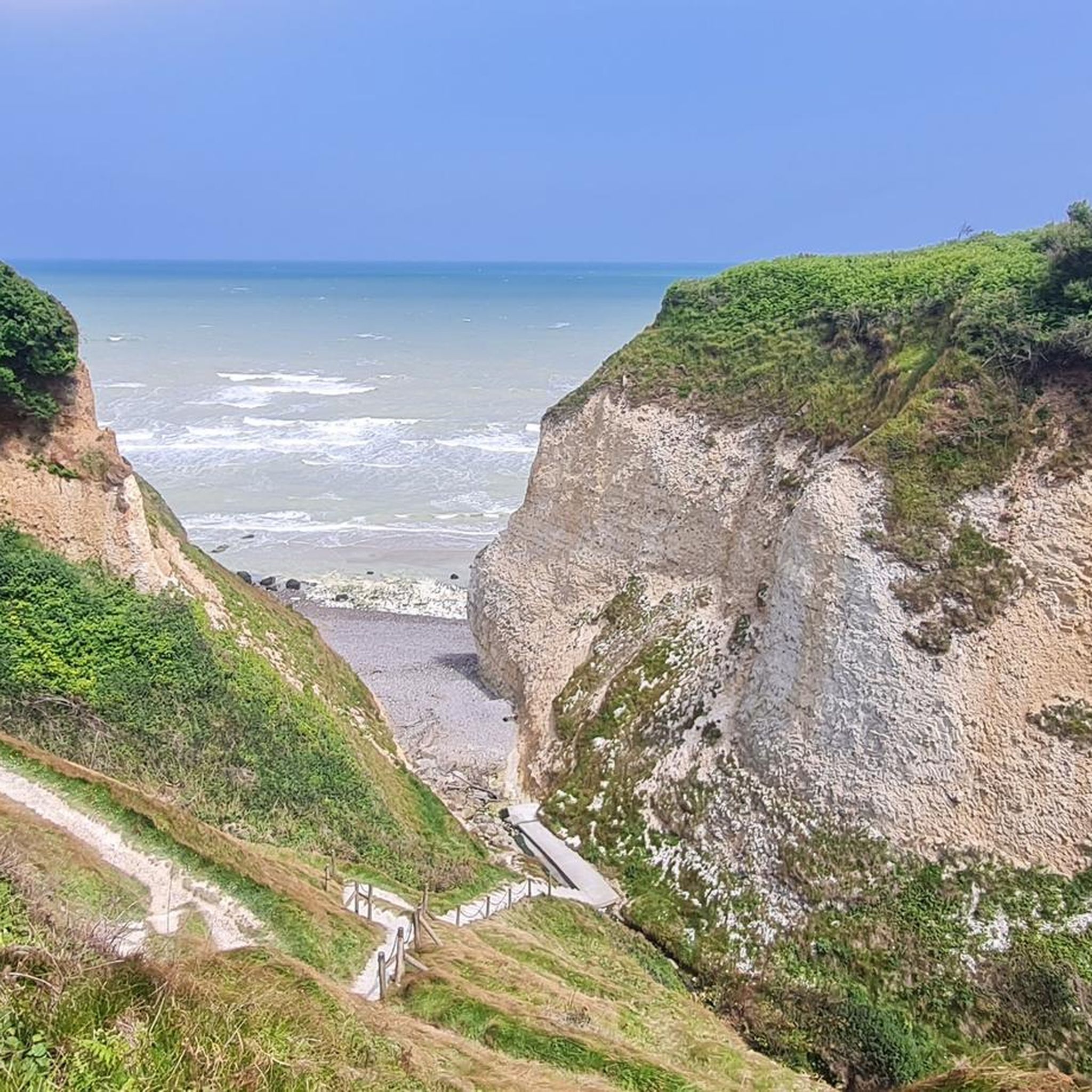

Tips from the Community

There was even an ice cream bus when I was there.
0
0


One had a magnificent view of the beautiful city of Dieppe
0
0

"Death may gladly tread through the realm of joy, Gladly he presses his hand on flowery brows. In ashes tomorrow and in torn garments, with bowed head, the memory of joy will be a reproach and pain to us. Funeral processions follow our games; Saturnalia can be our cradle, Woe to us!, only of dirges!" Text: Victor HUGO, (1802 – 1885): "Ode sur la mort du duc de Berry" (1820)
0
0

A construction carried out by Eiffel
0
0

The rest areas and picnic areas seem to be trying to outdo each other. This place is a dream, in any case!
0
0
This rest area seems to transcend all boundaries. Individual seating areas are covered, with children's play areas.
0
0

In front of the church on the mountain there is a small rest area where you can let your gaze wander into the distance.
0
0
Frequently Asked Questions
How many gravel bike trails are available around Manéhouville?
There are 7 gravel bike trails around Manéhouville, offering a variety of experiences from moderate to difficult.
Are there any easy gravel bike trails suitable for beginners in Manéhouville?
Yes, there is one easy gravel bike trail available. For a moderate option that is popular, consider the White cliffs – Port Entrance View - Dieppe loop from Dieppe, which is 35.0 miles (56.4 km) long and features coastal views.
What are some challenging gravel bike trails in the Manéhouville area?
For a challenging ride, you can explore the Dieppe – Château d'Arques-la-Bataille loop from Dieppe, which is 39.8 miles (64.0 km) with significant climbs. Another difficult option is the Martigny wooden bridge – Climb to access forest loop from Martigny, spanning 42.5 miles (68.3 km) with over 730 meters of elevation gain.
What kind of terrain can I expect on gravel bike trails around Manéhouville?
The terrain around Manéhouville is varied, combining paved roads with unpaved paths. You'll encounter coastal cliffs, river valleys, and dense woodlands, with both flat sections along waterways and rolling hills providing varied elevation changes.
Are there any scenic gravel routes with viewpoints in Manéhouville?
Many routes offer scenic views, especially those along the coast. The At the foot of the cliffs – View of Pourville-sur-Mer loop from Manoir d'Ango is a 20.2 miles (32.5 km) trail specifically noted for leading through coastal cliffs and scenic viewpoints.
What do other gravel bikers enjoy most about Manéhouville?
The area is highly rated by the komoot community, with an average score of 4.6 stars from over 8 reviews. Riders often praise the varied terrain, coastal paths, and wooded sections that define the region's gravel biking experience.
Are there any notable landmarks or attractions along the gravel bike routes?
Yes, several routes pass by interesting sites. You can find historic castles like Dieppe Castle and Arques-la-Bataille Castle. Natural attractions include Moutiers Gorge and Petit Ailly Beach, offering diverse points of interest.
Are there any gravel bike loops available in Manéhouville?
Yes, all the listed gravel bike trails around Manéhouville are loops. For example, the White cliffs – Port Entrance View - Dieppe loop from Dieppe and the Dieppe – Château d'Arques-la-Bataille loop from Dieppe are popular circular routes.
What is the typical length of gravel bike trails in Manéhouville?
Gravel bike trails in Manéhouville vary in length. You can find routes like the At the foot of the cliffs – View of Pourville-sur-Mer loop from Manoir d'Ango at 20.2 miles (32.5 km), up to longer options such as the Martigny wooden bridge – Climb to access forest loop from Martigny which is 42.5 miles (68.3 km).
What are the elevation changes like on Manéhouville's gravel bike routes?
The region features rolling hills, so you can expect varied elevation changes. For instance, the Dieppe – Château d'Arques-la-Bataille loop from Dieppe has over 610 meters of ascent, while the Dieppe Port – Dieppe loop from Dieppe involves around 400 meters of climbing.
Are there any routes that offer views of Dieppe?
Yes, several routes provide views of Dieppe. The White cliffs – Port Entrance View - Dieppe loop from Dieppe offers coastal views towards the port entrance. Additionally, the View of Dieppe highlight is a specific point of interest in the area.
Most popular routes around Manéhouville
Most popular attractions around Manéhouville

Get inspired with the komoot mobile app


Explore more
Browse the best Gravel rides in other regions.
