The best running trails around Apremont
3.6
(5)
46
runners
20
runs
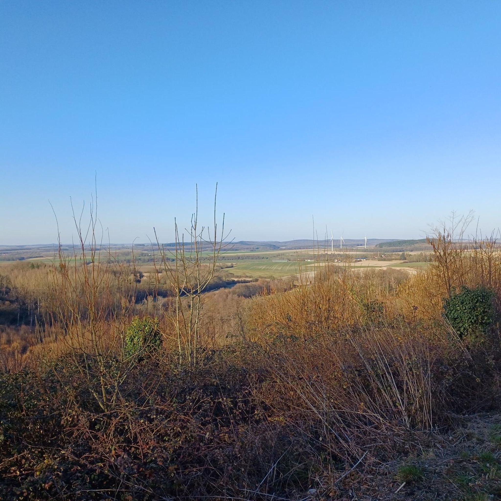
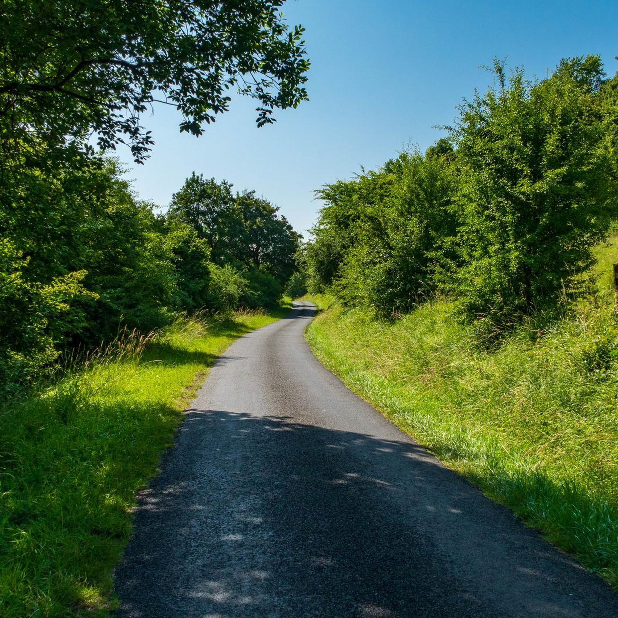
Jogging around Apremont offers a variety of routes through the region's varied landscape. The terrain primarily features rolling hills with moderate elevation changes, suitable for a range of running abilities. Routes often traverse open countryside, connecting local villages and historical sites like châteaux. The area provides a mix of paths through agricultural land and potentially some wooded sections, offering diverse running experiences.
Best jogging routes around Apremont
- The most popular jogging route is Château de Cornay loop from Chatel-Chéhéry,…
Last updated: July 5, 2026
3.0
(1)
5
runners
10.3km
01:07
130m
130m
Moderate run. Good fitness required. Mostly paved surfaces. Suitable for all skill levels.
4.7
(3)
6
runners
8.22km
00:53
110m
120m
Moderate run. Good fitness required. Mostly paved surfaces. Suitable for all skill levels.

Sign up for free
4
runners
11.8km
01:15
160m
160m
Moderate run. Good fitness required. Mostly paved surfaces. Suitable for all skill levels.
3
runners
7.68km
00:48
60m
60m
Moderate run. Good fitness required. Mostly paved surfaces. Suitable for all skill levels.
4
runners
8.53km
00:54
80m
80m
Moderate run. Good fitness required. Mostly paved surfaces. Suitable for all skill levels.
Get access to more routes and recommendations from other explorers.
Sign up for free
Already have an account?
Our route recommendations are based on thousands of hikes, rides, and runs completed by other people on komoot.
Start today with a free account
Your next adventure awaits.
Login or Signup



Tips from the Community

The Saint-Roch chapel appeared in the 17th century, well before the La Harazée national necropolis next to which it is located. The latter contains the remains of 1,672 soldiers who fell during the Battle of Argonne.
0
0
Frequently Asked Questions
How many running routes are available in Apremont?
There are over 20 running routes available around Apremont, offering a variety of experiences through the region's diverse landscape. Most of these routes are rated as moderate.
Are there any easy running routes for beginners in Apremont?
While most routes in Apremont are rated as moderate, the terrain generally features rolling hills with manageable elevation changes. For a relatively shorter option, consider the Running loop from Saint-Thomas-en-Argonne, which is about 3.2 miles (5.2 km) long.
What are some longer running trails in the Apremont area?
For longer runs, the Château Mercier loop from Cornay is a great option, covering 7.3 miles (11.8 km). Another substantial route is the Château de Cornay loop from Chatel-Chéhéry, which is 6.4 miles (10.3 km).
Can I find circular running routes around Apremont?
Yes, many of the running routes in Apremont are circular, allowing you to start and finish at the same point. Examples include the popular Château de Cornay loop from Chatel-Chéhéry and the Running loop from Varennes-en-Argonne.
Are there any running routes in Apremont with scenic views or historical landmarks?
Absolutely. Many routes traverse open countryside and connect local villages and historical sites. The Château de Cornay loop from Chatel-Chéhéry offers views of the historic château. You can also explore routes near significant historical points like the Meuse-Argonne American Cemetery or the Sergeant York trail, which are notable attractions in the wider Apremont area.
What do other runners say about the trails in Apremont?
The running routes in Apremont are highly rated by the komoot community, with an average score of 3.7 stars from 3 reviews. Runners often praise the varied terrain, the mix of agricultural land and wooded sections, and the opportunity to see historical châteaux.
Are the running routes in Apremont suitable for families?
The routes in Apremont are generally moderate with rolling hills, making them suitable for active families. Shorter loop options like the Running loop from Saint-Thomas-en-Argonne could be good choices for families looking for a less strenuous outing.
What is the best time of year to go running in Apremont?
Apremont's varied landscape is enjoyable throughout much of the year. Spring and autumn offer pleasant temperatures and beautiful scenery, with changing foliage in the wooded sections. Summer can be warm, so early morning or late afternoon runs are often preferred.
How accessible are the running routes in Apremont by public transport?
Apremont is a rural area, and public transport options directly to trailheads may be limited. It is generally recommended to access the running routes by car, especially for flexibility in reaching different starting points in villages like Chatel-Chéhéry or Cornay.
Where can I find parking near the running trails in Apremont?
Parking is typically available in the villages where many of the routes begin, such as Chatel-Chéhéry, Cornay, Varennes-en-Argonne, or Saint-Thomas-en-Argonne. Look for designated parking areas or suitable roadside spots in these communities.
Are there any challenging running routes for experienced runners in Apremont?
While most routes are moderate, the region's rolling hills provide good training opportunities. The longer routes, such as the Château Mercier loop from Cornay, offer sustained effort over 7.3 miles (11.8 km) with notable elevation changes, providing a good challenge for experienced runners.
What are the conditions like for running in Apremont during winter?
Winter running in Apremont can be picturesque, but conditions may vary. Paths through agricultural land can become muddy, and some wooded sections might be slippery. Always check local weather forecasts and trail conditions before heading out, and wear appropriate gear for colder, potentially wet, weather.
Can I find places to stop for refreshments along the running routes in Apremont?
The running routes often connect local villages. While not every route will have direct cafe stops along the trail, you can typically find small shops or eateries in the starting villages like Varennes-en-Argonne or Chatel-Chéhéry, perfect for pre- or post-run refreshments.
Most popular attractions around Apremont

Get inspired with the komoot mobile app


Explore more
Browse the best Running Trails & Routes in other regions.
