The best MTB trails around Carrouges
4.2
(6)
62
riders
12
rides
Mountain biking around Carrouges offers a network of trails through the rolling hills and woodlands of the Normandy region. The landscape is characterized by a mix of agricultural fields, dense forests, and tranquil ponds, providing varied terrain for cyclists. Elevation changes are generally moderate, making the area accessible for different skill levels. These routes often follow quiet country lanes and forest paths, showcasing the natural environment.
Best mountain bike trails around Carrouges
- The most popular mountain bike trail is Chemin…
Last updated: July 5, 2026
4.0
(1)
29
riders
Moderate mountain bike ride. Good fitness required. Suitable for all skill levels.
5.0
(1)
6
riders
27.1km
02:25
410m
410m
Moderate mountain bike ride. Good fitness required. Suitable for all skill levels.

Sign up for free
3.7
(3)
7
riders
26.5km
01:57
280m
280m
Easy mountain bike ride. Great for any fitness level. Suitable for all skill levels.
3
riders
37.6km
02:53
430m
430m
Moderate mountain bike ride. Good fitness required. Suitable for all skill levels.
2
riders
15.5km
01:16
240m
250m
Moderate mountain bike ride. Great for any fitness level. Advanced riding skills necessary.
Get access to more routes and recommendations from other explorers.
Sign up for free
Already have an account?
Our route recommendations are based on thousands of hikes, rides, and runs completed by other people on komoot.
Start today with a free account
Your next adventure awaits.
Login or Signup
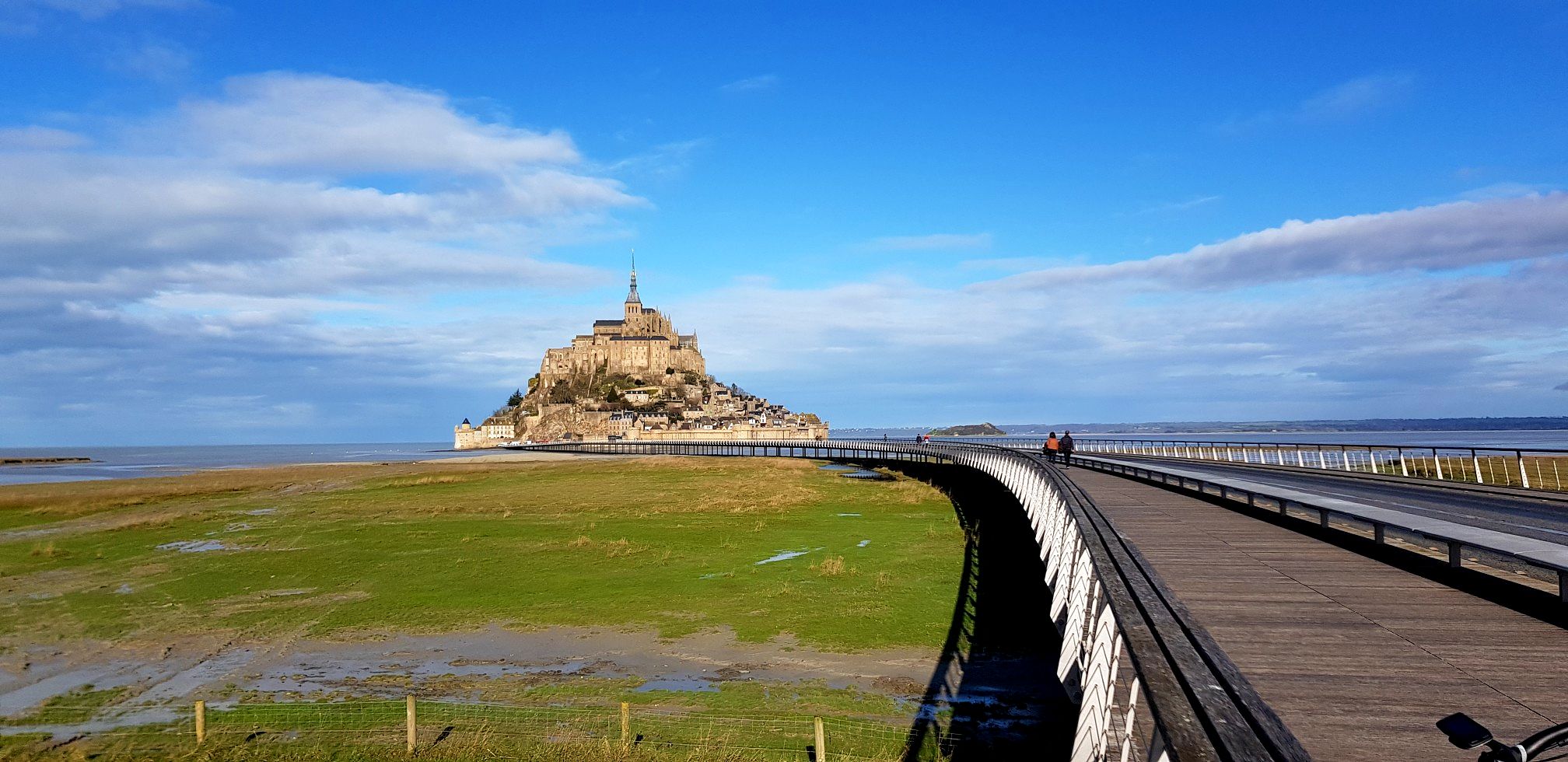
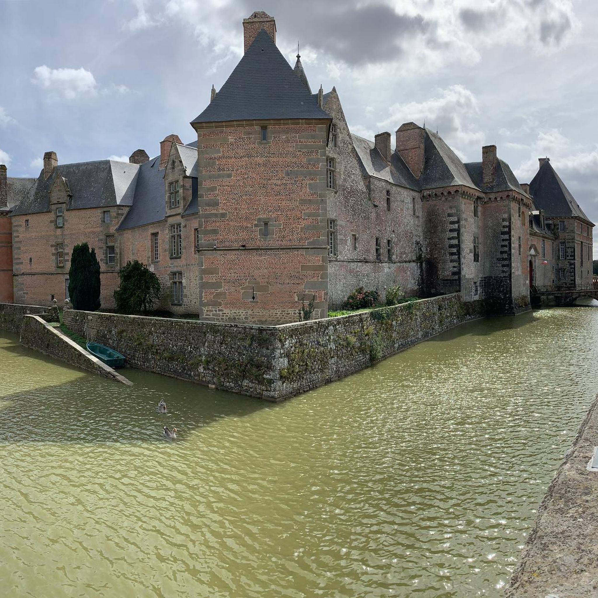
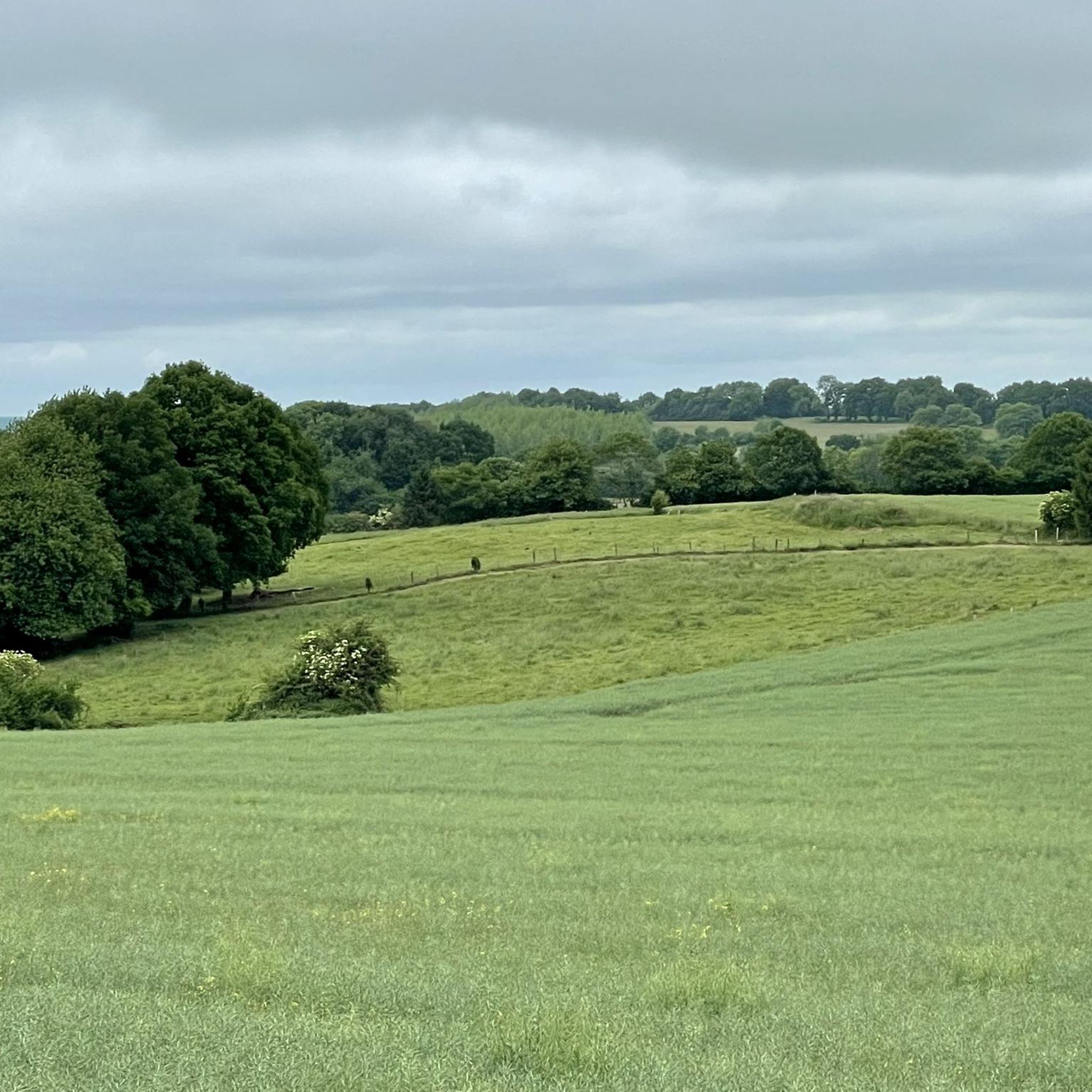
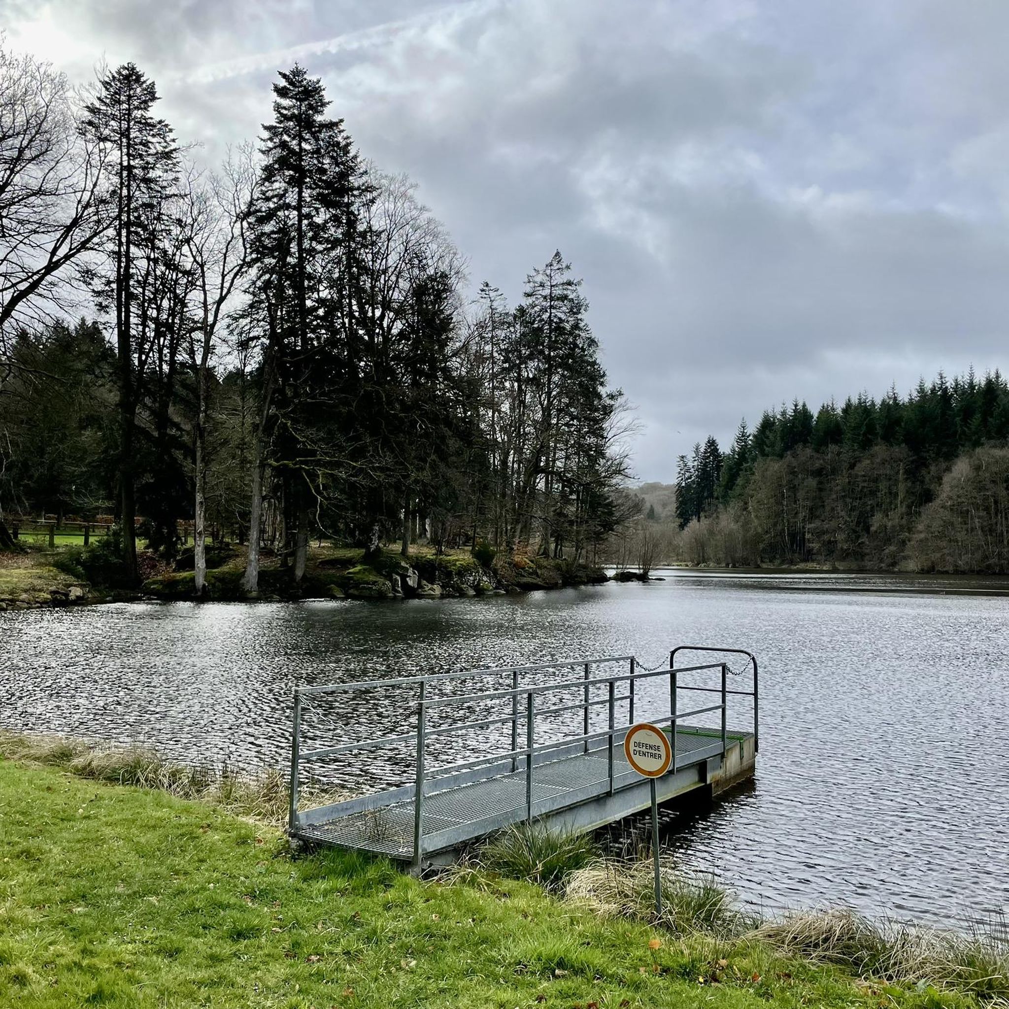
Other adventures around Carrouges

Tips from the Community

Riding up there by bike was quite strenuous, but the view from the top was worth the effort. It was well worth it.
0
0

2 perforations visible on the 12th photo of the Sherman M4A2 "Valois"
0
0

Very beautiful castle. The outside area is very interesting and a nice walk. Unfortunately I didn't see the inside of the castle. The bicycle parking area is behind the archway on the inside on the right.
0
0

Beautiful 360 degree view
1
0

Located in Mayenne, Mont des Avaloirs is the highest point of the Armorican massif. It is part of the Normandy-Maine Regional Natural Park and enjoys the status of a Global Geopark. The belvedere, built in 1994 and covered with a magnificent colorful fresco, painted in 2019 by the Franco-British artist Seb Toussaint. It offers a 360° view of all the surrounding forests and peaks.
0
0

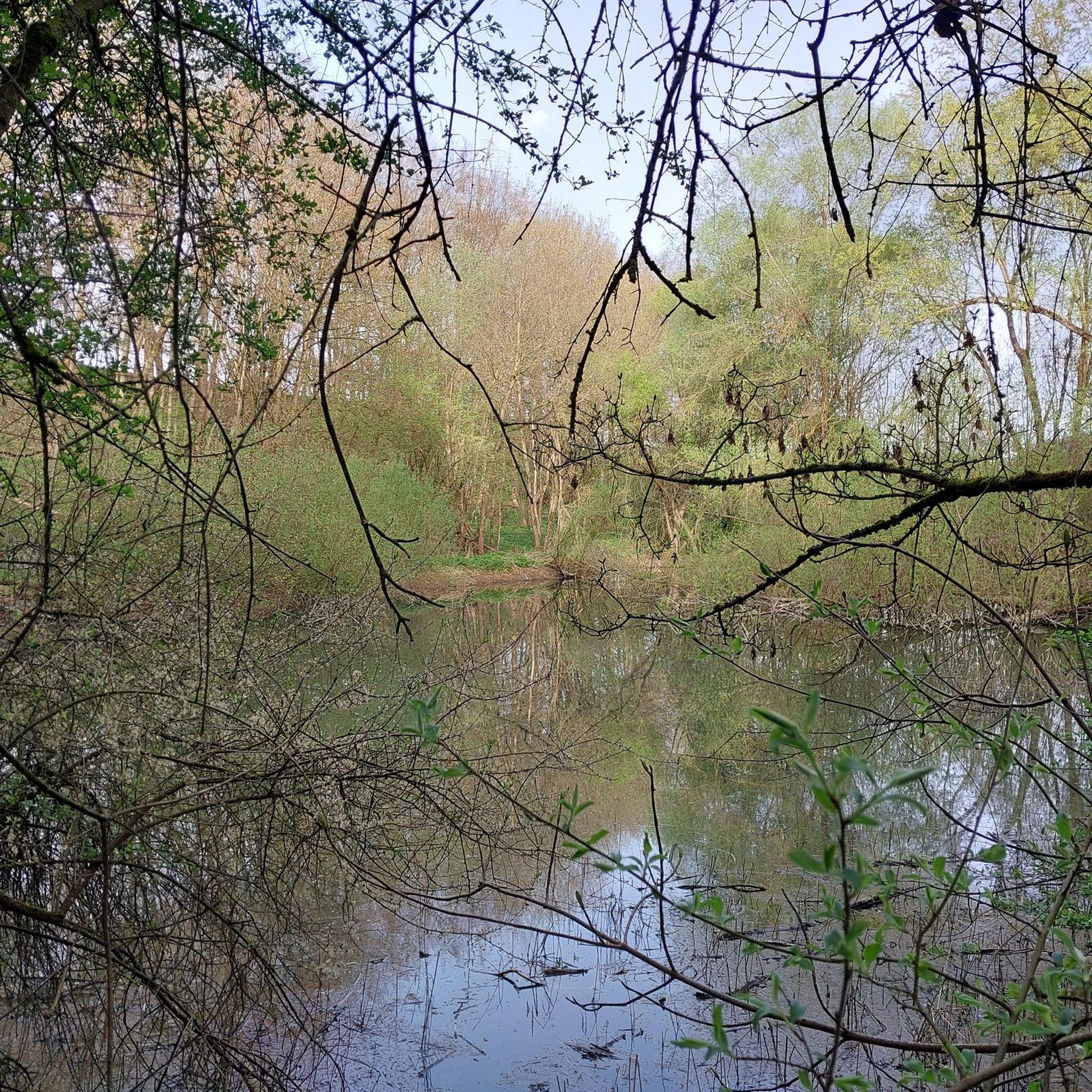
Magnificent place! The Lande Forêt pond is located in the heart of the Grais departmental forest. By bike, it is accessible via a secure route from the Briouze-Bagnoles greenway in Orne Normandy. An interpretive walking trail and wooden decks allow you to go around the pond. Picnic tables, bicycle boxes and a shelter are available at the entrance to the site.
0
0

The Écouves national forest is located in the Normandy-Maine Regional Natural Park. It is home to abundant game, sessile oaks, beeches and Scots pines, over 15,000 hectares. Its highest point is the Écouves signal, which rises to an altitude of 413 meters. It is the highest peak in Normandy.
1
0

If you are looking for a unique destination in Normandy, you should stop to see the Sherman tank in La Ferrière-Béchet. This is an American tank from World War II that was abandoned in the Ecouves forest after being hit by a German shell in August 1944. The tank is today covered in moss and vegetation, creating a striking contrast with its metal structure.
2
0
Frequently Asked Questions
How many mountain bike trails are there in Carrouges?
There are 8 mountain bike trails around Carrouges listed in this guide, offering a variety of experiences through the region's diverse landscape.
Are there easy mountain bike trails for beginners in Carrouges?
Yes, Carrouges offers 2 easy mountain bike trails suitable for beginners. A good option is the Goult Pond loop from La Lande-de-Goult, which is 9.6 miles (15.5 km) long and takes about 1 hour 16 minutes to complete.
What kind of terrain can I expect on mountain bike trails around Carrouges?
The terrain around Carrouges features a mix of rolling hills, dense forests, agricultural fields, and tranquil ponds. Trails often follow quiet country lanes and forest paths, with generally moderate elevation changes, making the area accessible for various skill levels.
Are there circular mountain bike routes in Carrouges?
Yes, many of the mountain bike routes in Carrouges are circular, allowing you to start and end at the same point. For example, the Mountainbike loop from Rânes is a 16.9 miles (27.2 km) circular trail through the local countryside and wooded areas.
What are the typical distances of mountain bike trails in Carrouges?
The mountain bike trails in Carrouges vary in distance. You'll find routes ranging from approximately 9.6 miles (15.5 km) up to 26.9 miles (43.4 km), catering to different preferences for ride length.
Are the mountain bike trails in Carrouges dog-friendly?
Many of the forest paths and country lanes around Carrouges are suitable for cycling with dogs, provided they are well-behaved and kept under control. Always ensure local regulations are followed, especially in protected areas or near livestock.
Are there family-friendly mountain bike trails in Carrouges?
Yes, the easier trails in Carrouges are suitable for families. The moderate elevation changes and well-maintained paths make routes like the Goult Pond loop from La Lande-de-Goult a good choice for a family outing.
What interesting places can I see near the mountain bike trails in Carrouges?
While mountain biking, you can explore several historical and natural attractions. Notable sites include Carrouges Castle and Rânes Castle. You might also encounter the Petit Jard Castle or the Alençon-Rives d'Andaines greenway, offering diverse points of interest.
Is parking available near the mountain bike trails in Carrouges?
Yes, parking is generally available in the towns and villages where many of the trails start, such as Saint-Samson, Saint-Didier-sous-Écouves, Rânes, and La Lande-de-Goult. Look for designated parking areas or public spaces.
What do other mountain bikers say about the trails in Carrouges?
The mountain bike trails in Carrouges are highly rated by the komoot community, with an average score of 3.75 stars from 4 reviews. Over 50 mountain bikers have explored the varied terrain, often praising the mix of forest trails, open fields, and pond-side paths.
Are there any mountain bike trails with historical points of interest in Carrouges?
Yes, some trails incorporate historical sites. For instance, the Croix Médavy – Sherman tank loop from Saint-Didier-sous-Écouves combines varied forest and open terrain with historical points of interest, offering a unique riding experience.
Most popular routes around Carrouges
Most popular attractions around Carrouges

Get inspired with the komoot mobile app


Explore more
Browse the best MTB trails in other regions.
