The best road cycling routes in Jayuya Municipio
16
riders
5
rides
Road cycling in Jayuya Municipio, located in the central mountainous region of Puerto Rico, offers challenging terrain and diverse landscapes. The area is characterized by lush, mountainous terrain with a network of steep, winding roads, providing significant elevation gains for cyclists. Features like Cerro Punta, the highest peak in Puerto Rico, and the Panoramic Route contribute to the region's appeal for road cyclists seeking arduous ascents and continuous scenic vistas. The Toro Negro Forest Reserve and the distinct Los Tres…
Last updated: November 15, 2026
5
riders
81.4km
03:17
420m
420m
Moderate road ride. Good fitness required. Mostly well-paved surfaces and easy to ride.
3
riders
40.7km
01:43
300m
300m
Easy road ride. Mostly well-paved surfaces and easy to ride.

4
riders
46.5km
02:08
540m
540m
Moderate road ride. Good fitness required. Mostly well-paved surfaces and easy to ride.
2
riders
82.2km
04:31
1,720m
1,720m
Hard road ride. Very good fitness required. Mostly well-paved surfaces and easy to ride.
2
riders
68.1km
03:35
1,280m
1,280m
Hard road ride. Very good fitness required. Mostly well-paved surfaces and easy to ride.
Our route recommendations are based on thousands of hikes, rides, and runs completed by other people on komoot.
Start today with a free account
Your next adventure awaits.
Popular around Jayuya Municipio

Tips from the Community


Frequently Asked Questions
How challenging is road cycling in Jayuya Municipio?
Road cycling in Jayuya Municipio is known for its challenging, mountainous terrain. You'll encounter steep, winding roads and significant elevation gains, making it an ideal destination for cyclists seeking arduous ascents. The region includes parts of the Panoramic Route and features climbs towards Cerro Punta, Puerto Rico's highest peak.
Are there any particularly challenging road cycling routes for experienced riders?
Yes, for experienced riders seeking a significant challenge, the Roadbike loop from Collores is a difficult 81.7 km route with substantial elevation gain, designed to test your endurance through the region's demanding landscapes.
What kind of routes are available for intermediate road cyclists?
Intermediate road cyclists will find several rewarding moderate routes. For example, the Roadbike loop from Villalba offers a 53.3 km path with winding roads and notable climbs. Another great option is the Bosque El Samán loop from Villalba, a 53.5 km route leading through lush cloud forest.
What natural landmarks or scenic viewpoints can I expect to see while cycling?
Jayuya Municipio offers breathtaking natural beauty. Cyclists can enjoy panoramic views from the Panoramic Route, witness the distinct shape of Los Tres Picachos, and experience the lush cloud forest of the Toro Negro Forest Reserve. The region's highest point, Cerro Punta, also provides spectacular vistas.
Are there any cultural or historical attractions along the routes?
Beyond cycling, Jayuya is rich in culture. You can visit local coffee haciendas, such as Hacienda San Pedro, to learn about coffee production. The significant archaeological site of La Piedra Escrita features ancient Taíno petroglyphs on a riverbank, offering a unique cultural stop.
When is the best time of year for road cycling in Jayuya Municipio?
Jayuya Municipio benefits from a cool climate due to its elevation, offering a refreshing contrast to coastal heat. The best time for road cycling is generally during the drier months, typically from December to April, when the weather is most stable and comfortable for long rides.
Are there any waterfalls accessible from the road cycling routes?
Yes, the region is home to several beautiful waterfalls. Las Delicias Waterfall is one such natural attraction that can provide a refreshing stop or a scenic detour during your cycling adventure.
What are the typical road conditions like in Jayuya Municipio?
The roads in Jayuya Municipio are generally paved but can be steep and winding, reflecting the mountainous terrain. While offering stunning views, cyclists should be prepared for varying road surfaces and be mindful of local traffic, especially on narrower sections.
Are there any loop trails for road cyclists?
Yes, many of the road cycling routes in Jayuya Municipio are designed as loops, allowing you to start and end at the same point. Examples include the Roadbike loop from Estancias de Florida and the Roadbike loop from Villalba, which offer circular journeys through the scenic landscape.
What do other road cyclists enjoy most about road cycling in Jayuya Municipio?
Road cyclists frequently praise the challenging ascents, the breathtaking panoramic views, and the serene, culturally rich environment. The unique combination of demanding terrain and natural beauty, including lush cloud forests and distinct mountain peaks, makes for a highly rewarding experience.
Is Jayuya Municipio suitable for family-friendly road cycling?
Due to the predominantly mountainous terrain, steep climbs, and winding roads, most road cycling routes in Jayuya Municipio are geared towards experienced or intermediate cyclists. Options for very young children or beginners on road bikes are limited, but families might find suitable sections for shorter, less strenuous rides on flatter, local roads if available.
Are there options for parking at trailheads for road cyclists?
While specific dedicated road cycling parking areas are not widely advertised, cyclists typically find parking in or near the starting points of routes, often in towns like Villalba or Collores. It's advisable to check local parking regulations and availability, especially in smaller communities.
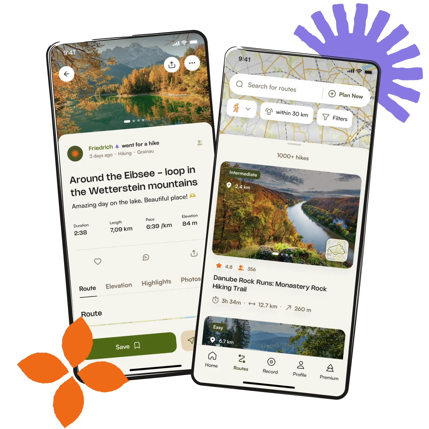
Get inspired with the komoot mobile app


Didn’t find what you were looking for?
Check out more Road cycling routes throughout Jayuya Municipio below and find the perfect route in your destination.
Explore more
Browse the best Road cycling routes in other regions.