The 6 Most Amazing Peaks around Amlikon-Bissegg
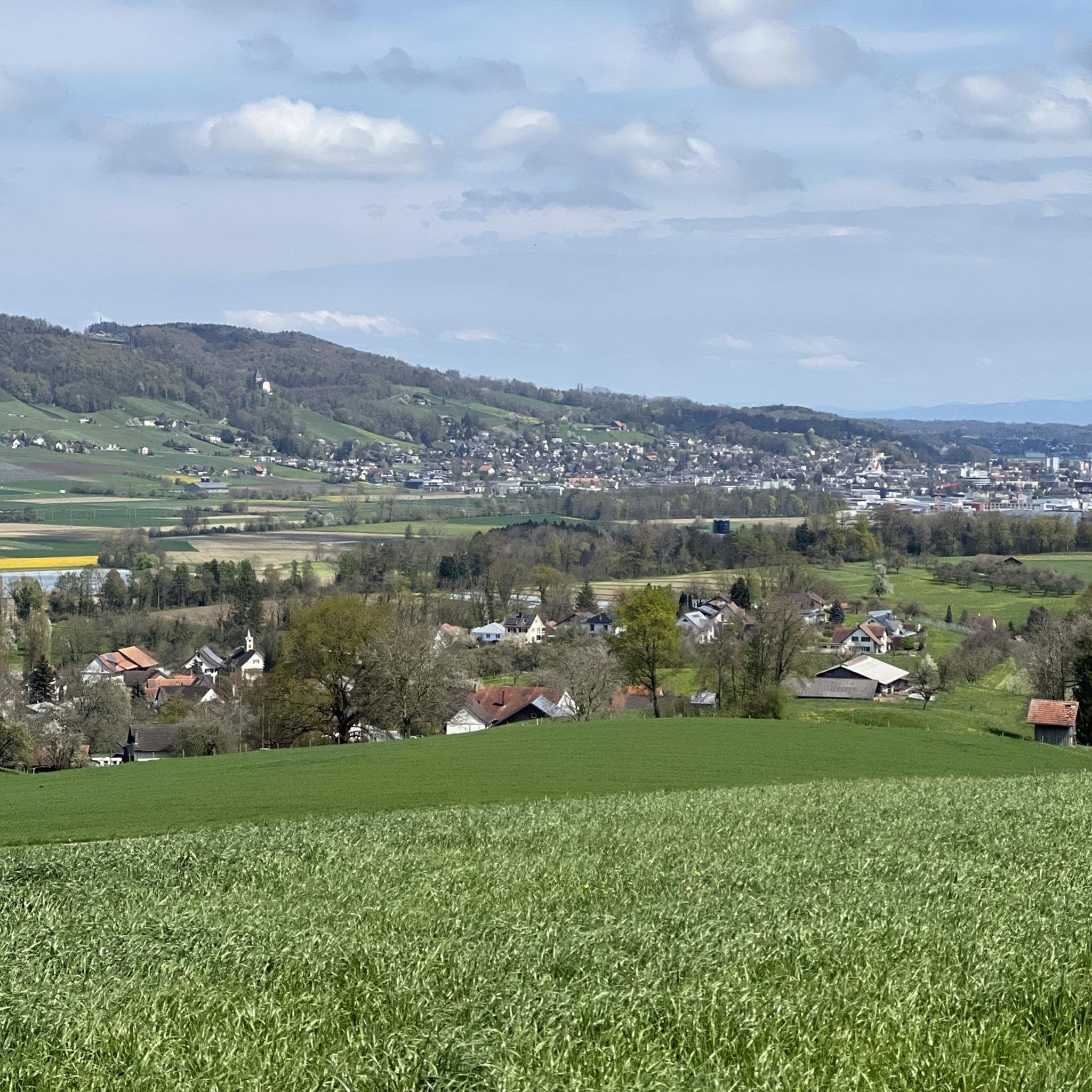
Best mountain peaks around Amlikon-Bissegg are situated in a rural landscape within the canton of Thurgau, Switzerland. This region, characterized by undulating terrain rather than prominent mountain peaks, offers accessible trails for outdoor activities. Its appeal lies in scenic hiking routes that traverse forests, agricultural areas, and charming hamlets. The commune center itself is located at an elevation of 422 meters above sea level.
Best mountain peaks around Amlikon-Bissegg
- The most popular mountain peaks is Nollen, a viewpoint that…
Last updated: July 10, 2026
Nollen
Highlight • Viewpoint
Translated by Google •
Tip by

Evangelical Church Hugelshofen
Highlight • Religious Site
Translated by Google •
Tip by

Sign up now to discover places like this
Get recommendations on the best single tracks, peaks, & plenty of other exciting outdoor places.
Sign up for free
Seerücken High Point (720 m)
Highlight • Summit
Translated by Google •
Tip by
Nieselberg 718 m
Highlight • Summit
Translated by Google •
Tip by

Highest Point of Wellenberg
Highlight • Summit
Translated by Google •
Tip by

Sign up for free to discover even more peaks around Amlikon-Bissegg.
Sign up for free
Already have an account?
Start today with a free account
Your next adventure awaits.
Login or Signup
Popular around Amlikon-Bissegg

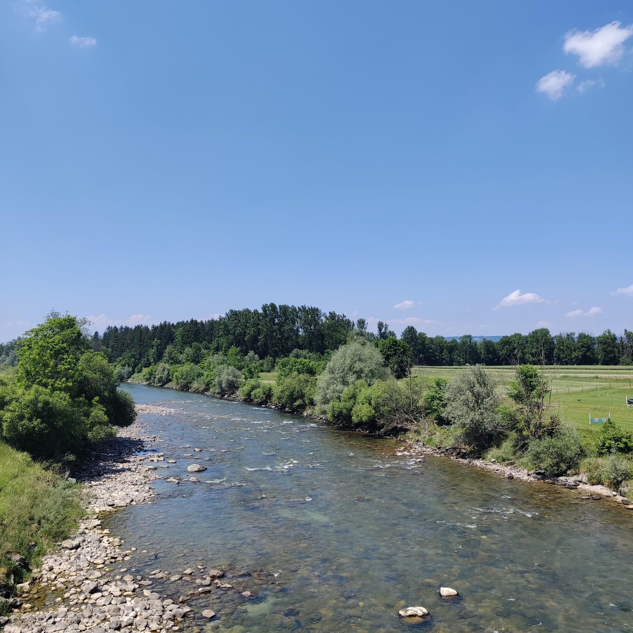
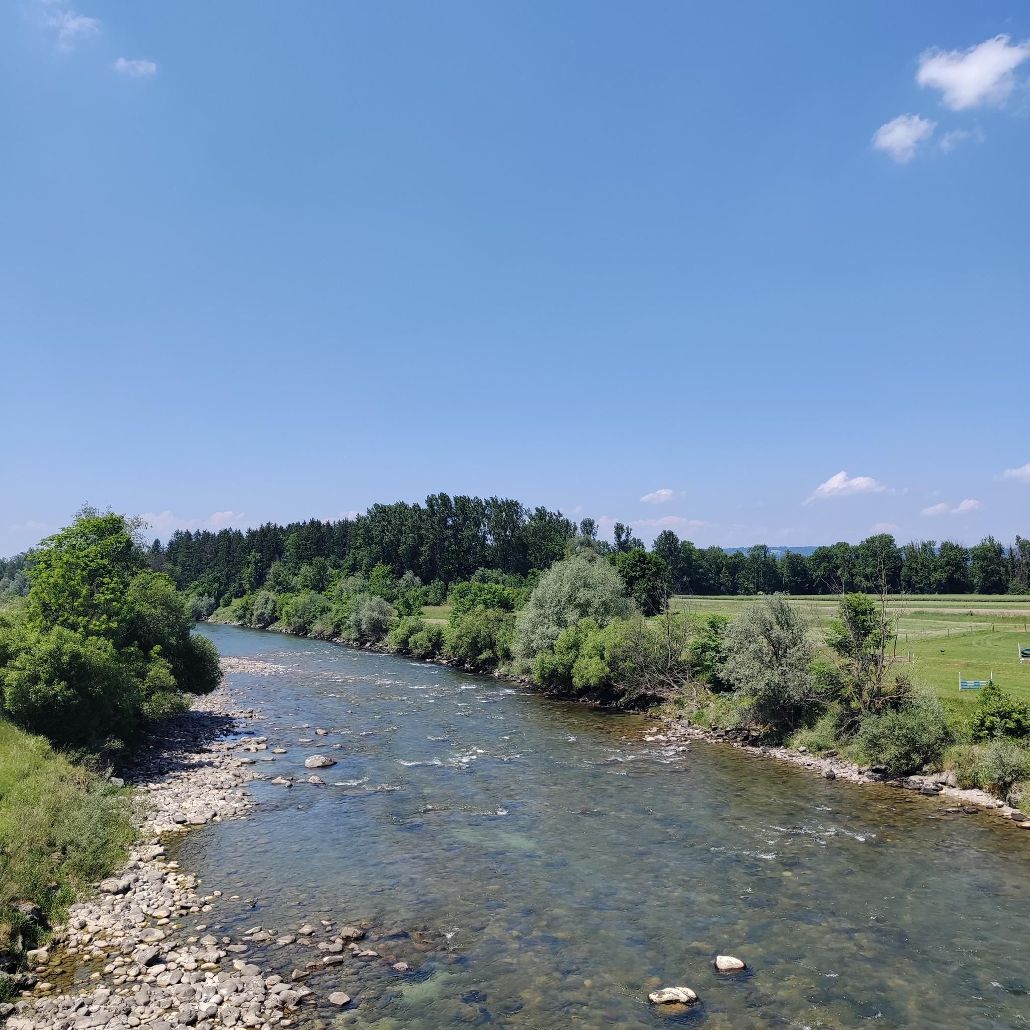
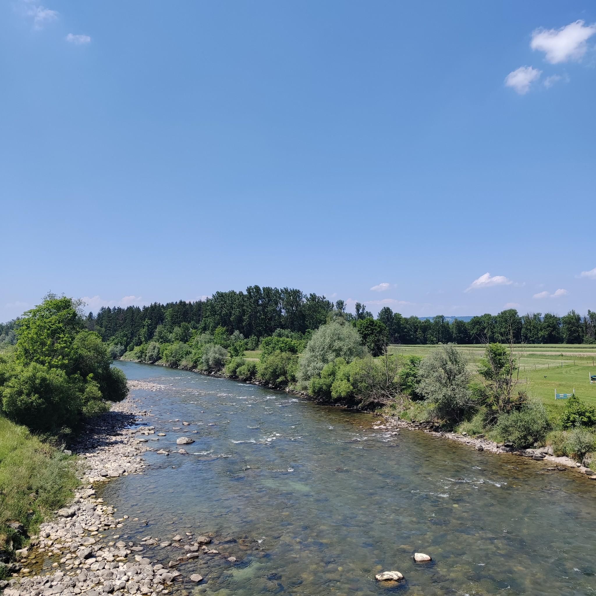
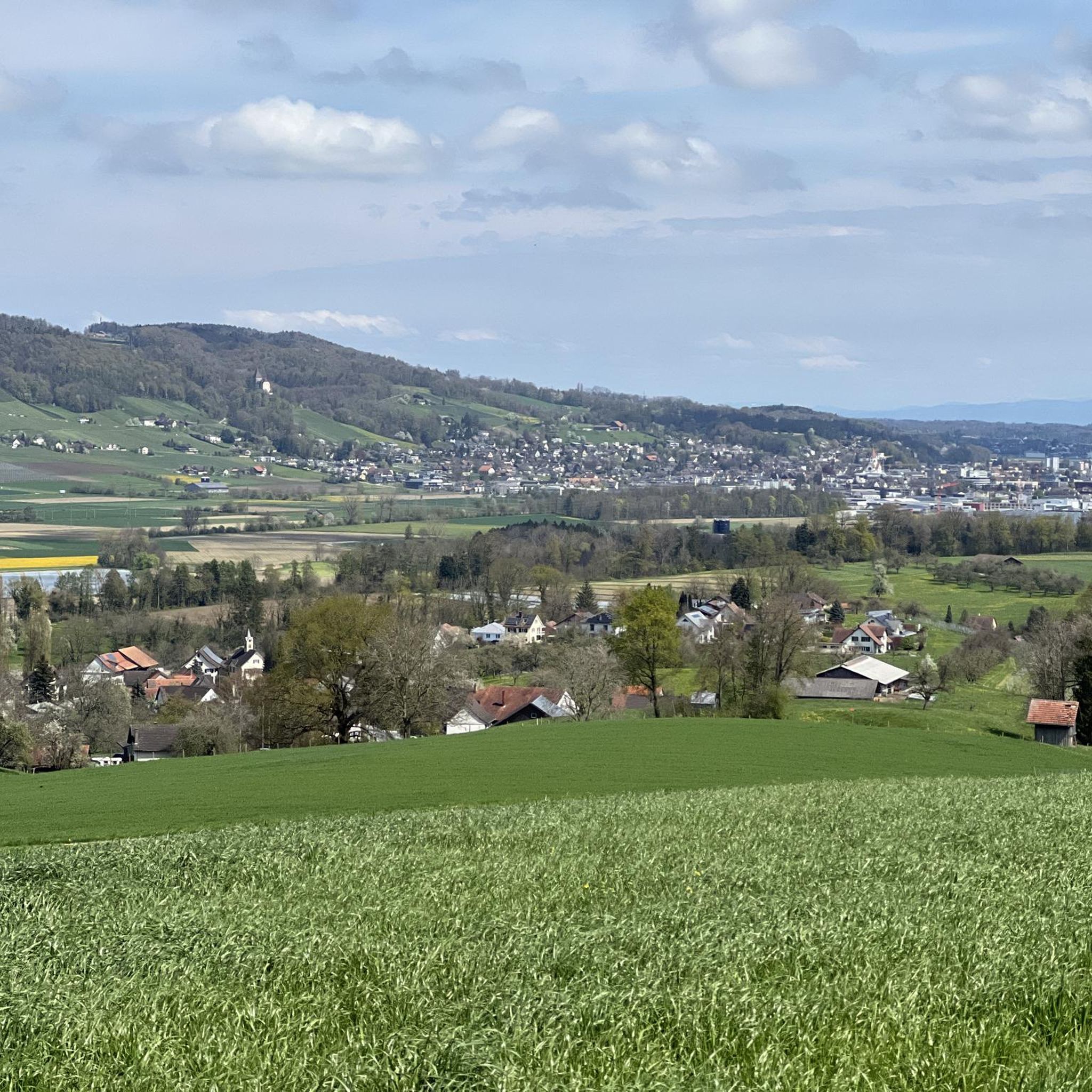
Other adventures around Amlikon-Bissegg

Tips from the Community

The path to the east leads to a single trail, which is easy to ride - except when the loggers are at work (e.g. in Jan. 25). The increasingly overgrown path to the north will probably become history.
1
0


"Summit" of Nieselberg 718 m, but lies in the forest, no view. The path from the west is easy to drive (steep in places). The path to the north is completely overgrown with blackberries and firs (see photo), it's a total mess to get through here, but it's not impossible (the path is basically there). I don't know the path to the east, but it could be OK? (according to the map, it's a dead end)
1
0

Panoramic view to Lake Constance
2
0

The colorful windows are quite special
2
0
Great forest trails for biking and enjoying the beautiful panorama
4
0

Frequently Asked Questions
What kind of "mountain peaks" can I expect to find around Amlikon-Bissegg?
Amlikon-Bissegg is characterized by undulating terrain and scenic high points rather than traditional, prominent mountain peaks. The region offers accessible trails leading to viewpoints and summits, with the highest point being 735 meters above sea level. These spots provide excellent opportunities for outdoor activities and panoramic views.
Which viewpoints offer the best panoramic views in the Amlikon-Bissegg region?
For breathtaking panoramic views, visit Nollen. At 735 meters high, it offers magnificent vistas of Lake Constance, the Thur Valley, the Hegau, the Säntis, and the Churfirsten. Another excellent spot is the Seerücken High Point (720 m), which features a panorama path after a steep ascent.
Are there any historical or religious sites among the high points in Amlikon-Bissegg?
Yes, the Evangelical Church Hugelshofen is a notable religious building that also serves as a high point in the Kemmental area. This historical site is surrounded by a wonderful area for hikes and bike tours, with other sights like the Bommer Weiher and old mills nearby.
What are some popular hiking routes near the high points of Amlikon-Bissegg?
The region offers several popular hiking routes. You can explore trails like the Gesslerbrücke – Ave Maria Chapel on Hohen Weg loop or the Thur Bridge at Amlikon – Ganggelisteg Suspension Bridge loop. These routes are generally considered moderate and provide pleasant recreational opportunities. For more options, check out the Hiking around Amlikon-Bissegg guide.
Are there mountain biking opportunities around Amlikon-Bissegg?
Absolutely! The undulating terrain around Amlikon-Bissegg is well-suited for mountain biking. You can find routes such as the Forest singletrack trail S1 loop from Märstetten or the View of the River Thur loop. For a comprehensive list of trails, refer to the MTB Trails around Amlikon-Bissegg guide.
What is the difficulty level of trails leading to these high points?
Most trails in the Amlikon-Bissegg region, including those leading to viewpoints and high points, are considered moderate. They require a good basic fitness level but no special skills, typically involving elevation changes of up to 300 meters over a few hours. Some ascents, like to the Seerücken High Point, can be quite steep.
Are there any high points that are not ideal for views?
Yes, some high points are located within forested areas and may not offer expansive views. For example, the Nieselberg 718 m summit is in the forest with no view. Similarly, the Highest Point of Wellenberg (703 m) is noted for its questionable view despite being the highest point in its area.
What do visitors appreciate most about the Amlikon-Bissegg region?
Visitors particularly enjoy the tranquil natural setting, the diverse opportunities for exploration, and the scenic hiking and biking routes that traverse forests, agricultural areas, and charming hamlets. The panoramic views from spots like Nollen are also highly praised.
Can I find family-friendly activities or trails near the high points?
Yes, several highlights and trails in the region are considered family-friendly. The Nollen viewpoint is a popular family destination, and the area around the Evangelical Church Hugelshofen offers pleasant routes suitable for families.
What is the best time of year to visit Amlikon-Bissegg for outdoor activities?
The region is generally pleasant for outdoor activities from spring through autumn. During these seasons, the weather is typically mild, making it ideal for hiking, biking, and enjoying the panoramic views. Winter can also offer unique experiences, but some trails might be less accessible depending on snow conditions.
Are there any gravel biking routes available in the area?
Yes, Amlikon-Bissegg also caters to gravel biking enthusiasts. You can find routes such as the Thur River Trail loop from Weinfelden or the Eschikofen Bridges – Thur River loop. For more details on these and other routes, consult the Gravel biking around Amlikon-Bissegg guide.
How accessible is Amlikon-Bissegg by public transport?
While specific public transport details for each high point vary, Amlikon-Bissegg is a municipality in the canton of Thurgau, Switzerland, and is generally accessible. It's advisable to check local transport schedules for connections to specific trailheads or villages within the municipality.
Most popular routes around Amlikon-Bissegg
Most popular attractions around Amlikon-Bissegg

Get inspired with the komoot mobile app


Explore more
See even more amazing summits around Amlikon-Bissegg with these guides:
