The best gravel rides around Lac de Codole
3.7
(9)
86
riders
3
rides
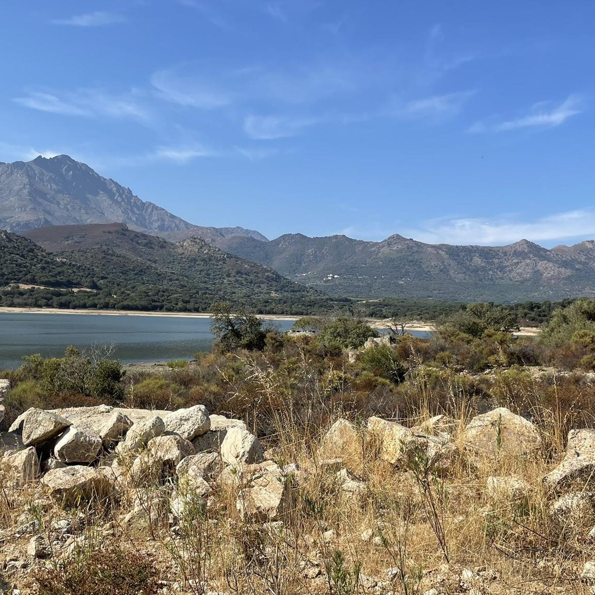
Gravel biking around Lac de Codole offers diverse terrain in the Balagne region of Haute-Corse, Corsica. The area features a mix of accessible paths and more challenging routes, including forest trails and dirt roads. Cyclists can expect varied landscapes, from dense maquis and oak forests to olive and citrus groves, with the artificial lake serving as a central natural feature. The mountainous character of Corsica ensures routes often include both climbs and descents.
Best gravel bike trails around Lac de…
Last updated: July 10, 2026
32
riders
46.7km
03:19
960m
960m
Hard gravel ride. Very good fitness required. Mostly paved surfaces. Suitable for all skill levels.
4.7
(3)
15
riders
24.6km
01:55
630m
630m
Hard gravel ride. Very good fitness required. Mostly paved surfaces. Suitable for all skill levels.

Sign up for free
3.0
(2)
8
riders
18.2km
01:21
430m
430m
Moderate gravel ride. Good fitness required. Mostly paved surfaces. Suitable for all skill levels.
3.5
(4)
31
riders
50.4km
03:32
910m
910m
Hard gravel ride. Very good fitness required. Mostly paved surfaces. Suitable for all skill levels.
Our route recommendations are based on thousands of hikes, rides, and runs completed by other people on komoot.
Start today with a free account
Your next adventure awaits.
Login or Signup
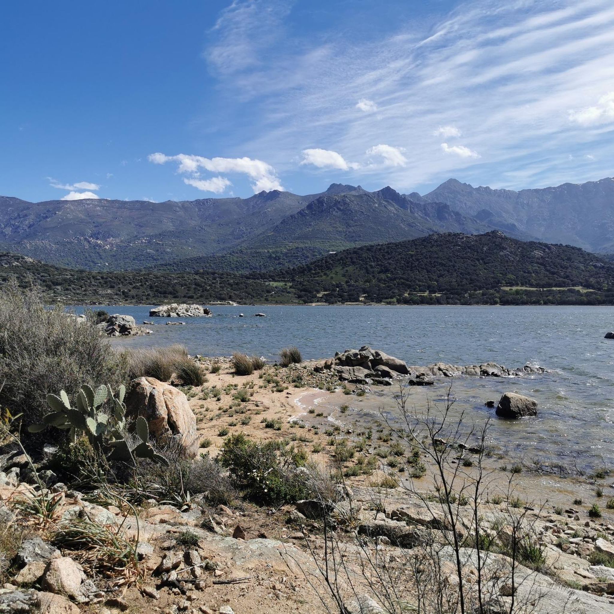
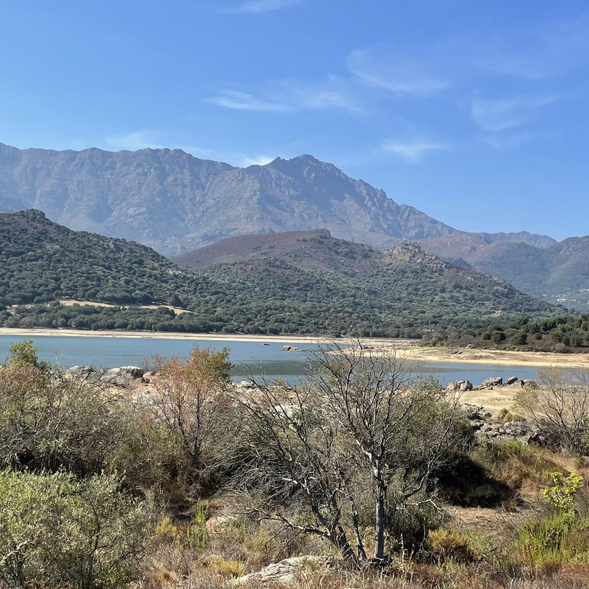
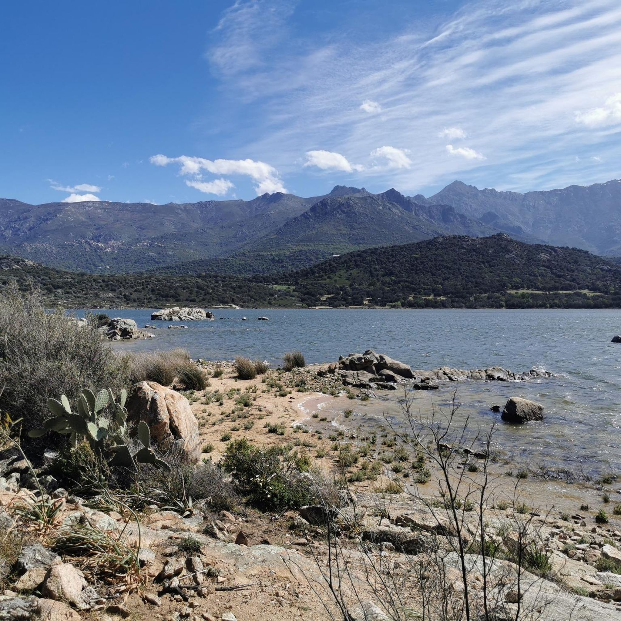
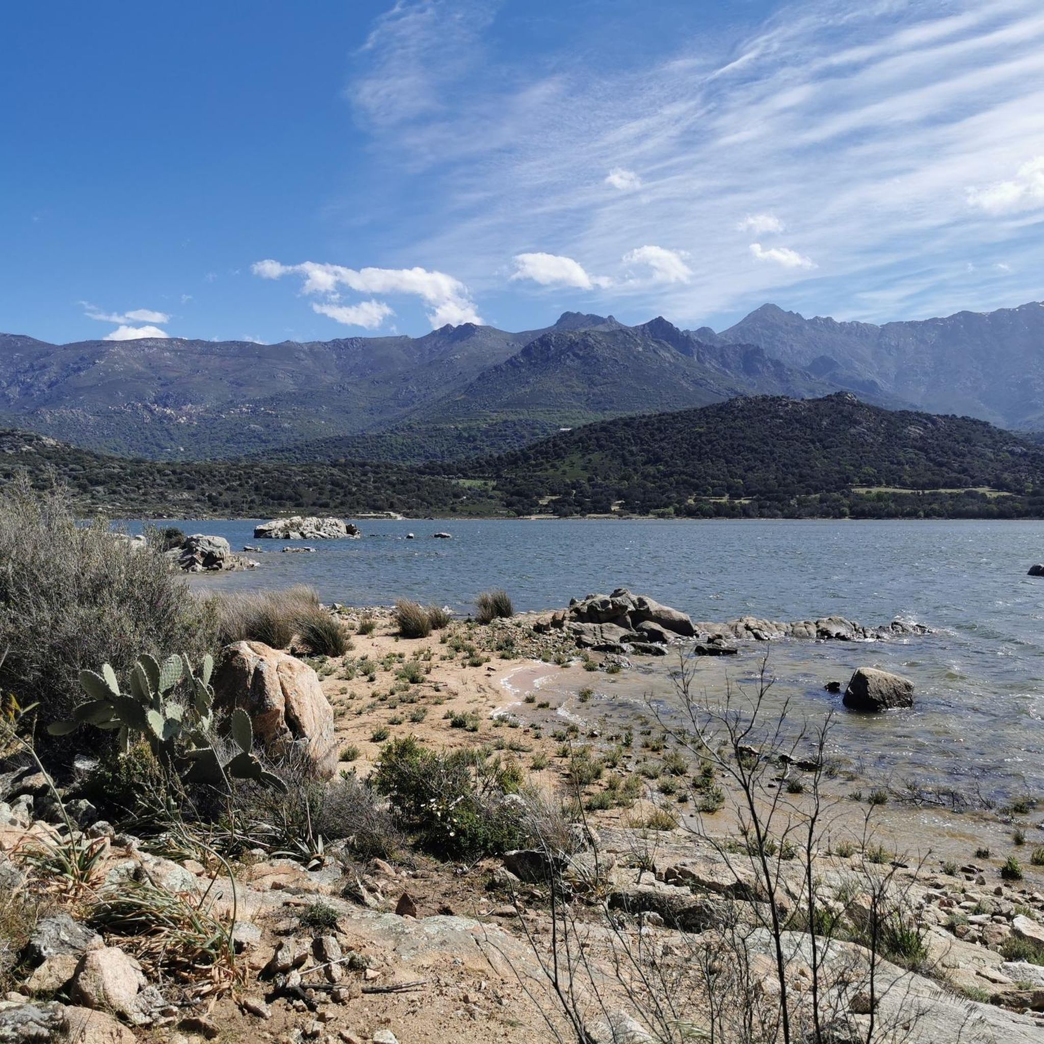
Tips from the Community


The charming little village of Occiglioni is worth a detour for many reasons. Its stone streets, typical of the Corsican maquis, give it a certain charm, and the shaded cafés are ideal for a refreshing break. Don't forget to enjoy the views from the village terraces.
0
0

The pass itself has a provisional pass sign at the junction to a fenced antenna system, but the D 151 towards Montegrosso as a mountain road climbs by about 15 meters in altitude over the next undulating 800 meters.
1
0
For those who are planning a detour to the Forêt Domaniale de Bonifatu or who are thinking of driving past Calvi and heading southwest over the Col de Marsolino, it even represents a shortcut via a beautiful hillside road. Which brings us to the most important point: the most beautiful panorama of the bay of Calvi and the ridge towards Monte Cinto is probably from the road over the Col de Salvi. This means that on the D 151 leading over the pass, despite the very moderate traffic volume, you may well come across a coach that is too big for the road, which is mostly only one and a half lanes wide.
1
1
The Col de Salvi is a quiet, very worthwhile connection option for racing cyclists who are heading towards Calvi from the (north)east via the Col de San Colombano or the Bocca di a Battaglia.
1
0
The municipalities of Lunghignano and Montemaggiore merged in 1972 to form the municipality of Saint-Rainier-de-Balagne. Saint-Rainier-de-Balagne was merged with Cassano on 1 January 1973 to form the municipality of Montegrosso, named after the Monte Grosso mountain range.
1
0
Montegrosso consists of the villages of Montemaggiore/Montemaiò as the main town (381 m), Cassano/Cassani (300 m) and Lunghignano/Lunghignani (340 m). The municipality is located at about 400 meters above sea level and borders Lavatoggio to the north, Cateri and Avapessa to the northeast, Muro to the east, Zilia to the southeast, Calenzana to the southwest, Calvi to the west and Lumio to the northwest.
1
0
Montegrosso (Corsican: Montegrossu) is a municipality on the French island of Corsica. It belongs to the region of Corsica, the department of Haute-Corse, the arrondissement of Calvi and the canton of Calvi. Depending on the district, the residents call themselves Montemaggiorais, Lunghignanais, Cassanais, Montemaiuracci, Lunghignaninchi or Cassaninchi.
1
0
Frequently Asked Questions
How many gravel bike trails are available around Lac de Codole?
There are 9 gravel bike routes around Lac de Codole listed on komoot, offering a range of experiences for cyclists. Most of these are considered difficult, with two moderate options available.
What is the typical terrain like for gravel biking near Lac de Codole?
The terrain around Lac de Codole is diverse, featuring a mix of accessible paths and more challenging routes. You can expect forest trails, dirt roads, and sections through dense maquis, olive, almond, and citrus groves. The mountainous nature of Corsica means routes often include both climbs and descents, providing varied experiences.
Are there any family-friendly gravel bike trails around Lac de Codole?
While many routes in the area are rated as difficult, the region offers diverse terrain that can accommodate different skill levels. For a potentially less strenuous option, consider exploring the perimeter of Lac de Codole itself, which is about 5.75 kilometers, or the 11 km loop around the dam, which can be a good starting point for families. Always check the route details for elevation and surface type to ensure it suits your family's abilities.
Can I bring my dog on the gravel bike trails around Lac de Codole?
The natural environment around Lac de Codole, with its diverse ecosystems and trails, is generally welcoming to dogs. However, it's always advisable to keep your dog on a leash, especially in areas with wildlife or near livestock. Ensure you carry enough water for both yourself and your dog, and be mindful of other trail users.
What are some notable natural features or landmarks I might see while gravel biking here?
Beyond the picturesque Lac de Codole itself, which is the second largest reservoir in Corsica, you'll encounter a rich natural environment. The area is a vital biotope, home to species like the European pond turtle and various birds, including raptors. You'll cycle through dense maquis, oak forests, and past fragrant heather, arbutus, lavender, and rosemary. Keep an eye out for charming villages like Pigna, known for its panoramic views, and landmarks such as the Saint Francis Xavier Church or the visible Couvent de Corbara.
What do other gravel bikers enjoy most about cycling around Lac de Codole?
The komoot community highly rates the gravel biking experience around Lac de Codole, with an average score of 4.4 stars from over 10 reviews. Cyclists often praise the varied terrain, the stunning views of the lake and surrounding Balagne region, and the opportunity to explore charming Corsican villages and diverse natural landscapes.
Are there any circular gravel bike routes available?
Yes, many of the routes around Lac de Codole are designed as loops. For example, the difficult 46.1 km route, View of San Antonino – View of Corbara loop from Muro, offers a circular journey through varied Corsican landscapes and traditional villages. Another option is the 24.98 km difficult route, View of San Antonino – View of Corbara loop from Corbara.
What is the best time of year for gravel biking in the Lac de Codole region?
The Balagne region, where Lac de Codole is located, generally offers pleasant conditions for gravel biking outside of the peak summer heat. Spring and autumn are often ideal, with milder temperatures and vibrant natural scenery. Winter can also be suitable, though some higher elevation trails might be affected by weather, so always check local conditions before heading out.
Where can I find parking for gravel biking near Lac de Codole?
Parking is generally available in the villages surrounding Lac de Codole, such as Monticello, Muro, Bodri, Corbara, and Aregno, which serve as starting points for many routes. It's advisable to check specific village parking regulations or designated areas for visitors before your trip.
Are there any cafes or places to stop for refreshments along the gravel bike trails?
The routes often pass through or near charming Corsican villages like Pigna, Speloncato, Feliceto, and Santa-Reparata-di-Balagna. These villages typically offer opportunities for refreshments, including cafes and small shops, allowing you to refuel and experience local culture during your ride.
What is the longest gravel bike route in the area?
One of the longer and more challenging routes is the View of Giunchetu Bay – Speloncato loop from Aregno, covering 62.6 kilometers with significant elevation gain, typically taking over 5 hours to complete.
What kind of views can I expect on the gravel bike trails?
The trails offer breathtaking panoramic views. You can expect vistas of the sparkling Lac de Codole, the surrounding Balagne region with its pastures, olive, almond, and citrus groves, and distant views of the Mediterranean Sea, including bays like Giunchetu. Routes often pass through elevated points offering stunning perspectives of the Corsican landscape.
Most popular routes around Lac de Codole

Get inspired with the komoot mobile app


Explore more
Browse the best Gravel rides in other regions.
