Top 9 Mountain Passes around Porto Valtravaglia
Best mountain passes around Porto Valtravaglia are situated on the eastern shore of Lake Maggiore, amidst a landscape of hills and mountains. This region offers various elevated routes and panoramic viewpoints. It provides experiences for cyclists, hikers, and those seeking scenic vistas.
Best mountain passes around Porto Valtravaglia
- The most popular mountain passes is Cuvignone Pass, a mountain pass that connects Valcuvia with Luinese. It is popular among road cyclists due to its challenging climbs and has been featured…
Last updated: July 10, 2026
Cuvignone Pass
Highlight • Mountain Pass
Translated by Google •
Tip by

Ascent from Cannobio to Passo Marco Pantani
Highlight (Segment) • Climb
Translated by Google •
Tip by

Sign up now to discover places like this
Get recommendations on the best single tracks, peaks, & plenty of other exciting outdoor places.
Sign up for free
La Motte Rosine
Highlight • Mountain Pass
Translated by Google •
Tip by

Passo San Michele
Highlight • Mountain Pass
The Passo San Michele in the mountain range between Luino in the north, Laveno in the southwest and the Val Cuvia, …
Translated by Google •
Tip by

Start of the Cadorna Road towards the Monte Morissolo tunnels
Highlight • Trail
Translated by Google •
Tip by

Sign up for free to discover even more mountain passes around Porto Valtravaglia.
Sign up for free
Already have an account?
Start today with a free account
Your next adventure awaits.
Login or Signup

Tips from the Community

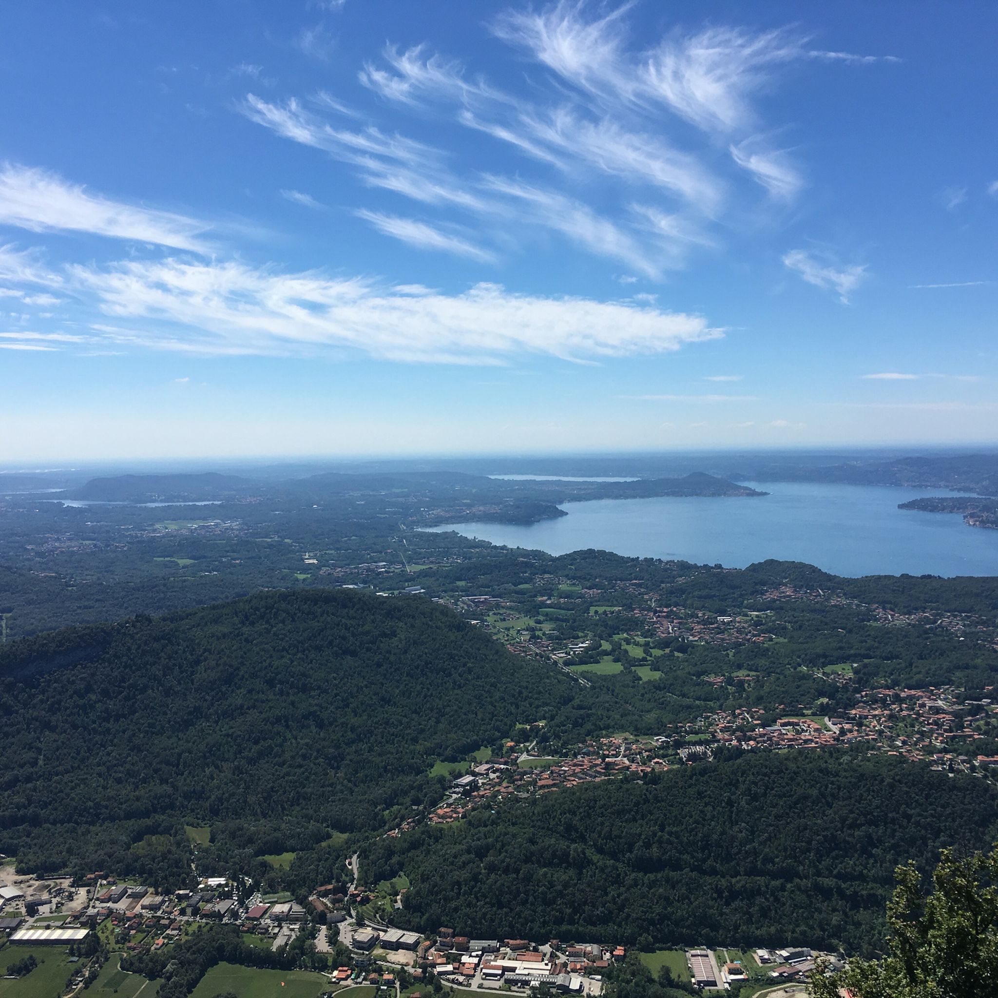
Memorial to cyclist Marco Pantani. PS The pass summit is also accessible with a 2-speed road bike.
1
0

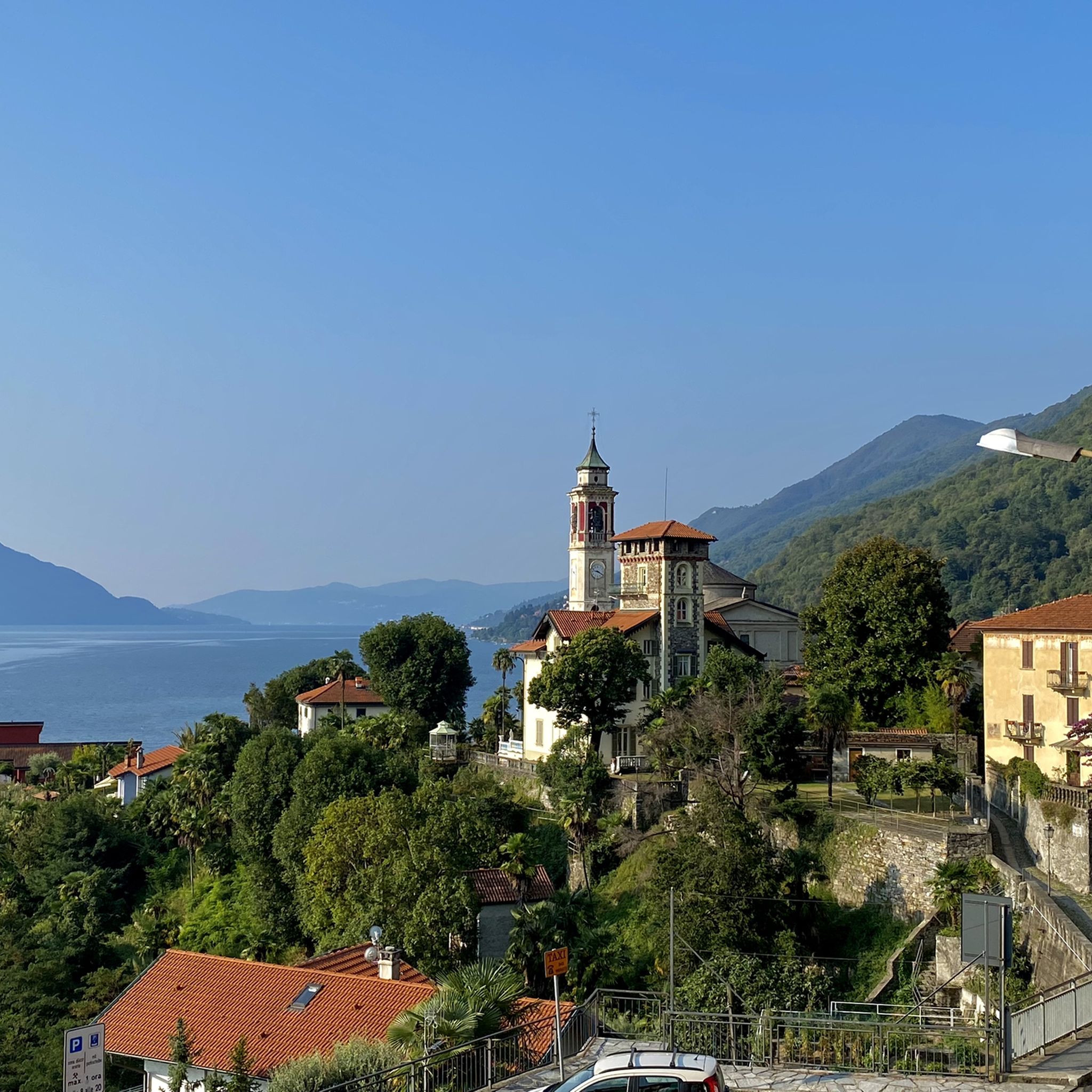
Very nice climb surrounded by greenery.
8
0

a classic from the Varese area. It's worth it.
1
0

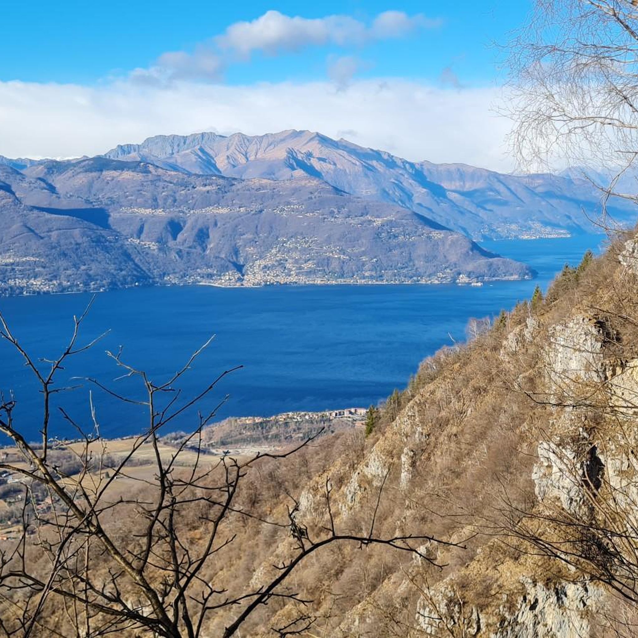
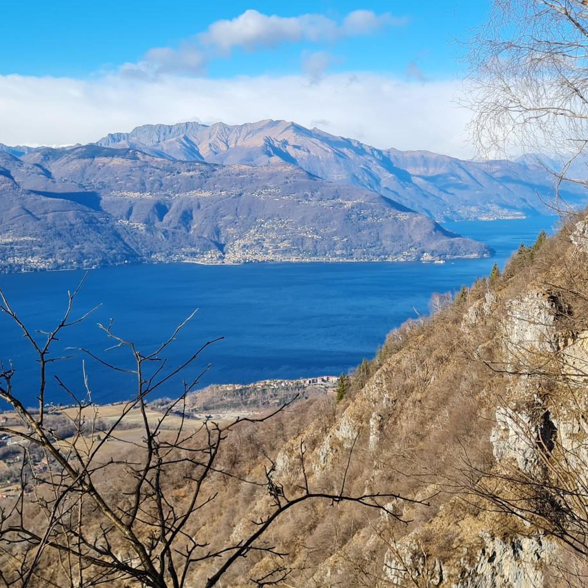
Entrance to the panoramic military road. This runs at a height of about 1250 meters and thus about 1000 meters above Lake Maggiore. Therefore, when the weather is good, there are fantastic views of the lake.
1
0
Great climb with never bad gradients.
22
0

Passo San Michele (885 m) al Monte (Porto Valtravaglia) The Passo San Michele in the mountain range between Luino in the north, Laveno in the southwest and the Val Cuvia, east of Lake Maggiore. Specifically, three roads meet at the Passo San Michele: the southern approach from the Passo San Antonio, the eastern approach from Grantola via the small town of Brissago Valtravagli and the northwestern approach from Muceno. Text / Source: quaeldich.de https://www.quaeldich.de/paesse/passo-san-michele/
10
0

Here is the top of the short but steep climb from Brinzio towards Varese, well known among local cyclists. Find a restaurant if necessary, excellent area for a refreshment.
1
0
A beautiful climb leads to this pass, which is very famous among bikers in the area and also beautiful for a nice cycling trip. There are no views from the pass, but the two roads that lead to it are very scenic with views of the lakes!
1
0
Frequently Asked Questions
What are some challenging mountain passes for cyclists near Porto Valtravaglia?
The most renowned challenging pass for cyclists is the Cuvignone Pass. Located at 1,050 meters, it connects the Valcuvia and Luinese valleys and is famous for its demanding climbs, having been featured in the Giro d'Italia. The ascent from Cittiglio is particularly classic, with an average gradient of 8.5% over 9.4 km. Another notable climb is the Ascent from Cannobio to Passo Marco Pantani, which offers consistent gradients and minimal traffic through lush greenery.
Are there mountain passes with historical significance in the Porto Valtravaglia area?
Yes, the area around Porto Valtravaglia has historical significance, particularly related to World War I. Monte della Colonna, reaching 1203 meters, was a strategic observation point during WWI. Hiking routes to Monte della Colonna, often starting from Alpe San Michele, traverse areas with well-preserved remnants of the Cadorna Line, a WWI defense system. You can also find the Start of the Cadorna Road towards the Monte Morissolo tunnels, which is a phenomenal and super panoramic road over Lake Maggiore.
What kind of panoramic views can I expect from the mountain passes around Porto Valtravaglia?
The mountain passes and elevated areas offer diverse and stunning panoramic views. From Cuvignone Pass, various hiking trails provide opportunities to admire Lake Maggiore. Monte della Colonna offers extensive views of Lake Maggiore and Canton Ticino. Monte Ganna provides panoramic vistas of the Valganna, including the Lakes of Ganna and Ghirla, Monte Campo dei Fiori, and Lake Lugano, extending to Monte Rosa on clear days. Alpe San Michele is another significant viewpoint with expansive views of the Varesotto plain, the upper Milanese area, and the upper Verbano valleys.
Are there family-friendly hiking options near the mountain passes?
Yes, there are family-friendly hiking options. Monte Pian Nave offers a moderate circular hiking route from Muceno (a fraction of Porto Valtravaglia) via Alpe San Michele. This trail includes both paved and dirt roads through wooded areas, with a highlight being Pian Cuvinic, a picnic spot with a panoramic viewpoint over the lake. The route is considered relatively easy and suitable for families.
What outdoor activities can I do near the mountain passes around Porto Valtravaglia?
The region around Porto Valtravaglia is excellent for various outdoor activities. Cycling is very popular, especially on challenging routes like the Cuvignone Pass. You can find numerous cycling routes, including a challenging 26.5 km loop from Porto Valtravaglia that goes over Cuvignone Pass, offering views of Lake Maggiore. For hiking, there are many trails, including mountain hikes that lead to panoramic viewpoints. You can explore more options for cycling, running, and mountain hikes on the respective guide pages: Cycling around Porto Valtravaglia, Running Trails around Porto Valtravaglia, and Mountain Hikes around Porto Valtravaglia.
Where can I find a good starting point for hiking trails near Porto Valtravaglia's mountain passes?
Alpe San Michele is an excellent starting point for various hiking trails in the area. Although only slightly above 800 meters, it's a significant panoramic viewpoint where the Valcuvia and Valtravaglia areas converge. From here, you can access trails leading to Monte Colonna and Monte Pian Nave, among others.
Are there any unique or less-known mountain passes worth exploring?
While not a traditional pass, Alpe San Michele is a unique and charming elevated area. It's known as the "village of nativity scenes" for its Christmas displays and is home to the enchanting Romanesque Church of San Michele al Monte with medieval frescoes. It offers expansive views and serves as a starting point for several hikes, making it a hidden gem for those seeking culture and nature.
What is the best time of year to visit the mountain passes around Porto Valtravaglia?
The summer months are particularly popular for visiting the mountain passes and elevated areas due to the shaded trails and pleasant temperatures. This allows for comfortable hiking and cycling, often concluding with extraordinary panoramic views. The area is also frequented by amateur astronomers due to minimal light pollution, especially during clear nights.
Can I find places for refreshments or food near the mountain passes?
Yes, some elevated areas and passes offer refreshment options. For instance, near La Motte Rosine, a well-known spot among local cyclists, you can find a restaurant. Additionally, Pian Cuvinic, an area on the route to Monte Pian Nave, has a picnic spot, perfect for a packed lunch.
Are there dog-friendly trails around the mountain passes?
Many of the hiking trails in the natural areas around Porto Valtravaglia are generally dog-friendly, especially those through wooded areas like the route to Monte Pian Nave. However, it's always advisable to keep dogs on a leash, especially in areas with wildlife or near roads, and to check local regulations for specific trails.
What is Passo Folungo known for?
Passo Folungo is an intermediate mountain pass that offers excellent views along a former military mule track. It serves as an interface for several routes and is appreciated for its scenic beauty and as a point where various trails converge.
Are there any circular routes involving mountain passes near Porto Valtravaglia?
Yes, there are circular routes available. For example, a moderate circular hiking route to Monte Pian Nave starts from Muceno via Alpe San Michele. Another popular circular hiking route starts and ends at Alpe San Michele, traversing historical areas to Monte della Colonna and Monte Ganna, providing ample panoramic views along the way.
Most popular routes around Porto Valtravaglia
Most popular attractions around Porto Valtravaglia

Get inspired with the komoot mobile app


Explore more
See even more epic mountain passes by checking out these guides around Porto Valtravaglia:
