The best gravel rides around St. Dominick
5.0
(4)
47
riders
2
rides
Gravel bike trails around St. Dominick are situated within the Tamar Valley National Landscape, an area characterized by deep river valleys, ancient oak woods, and rounded hills. The terrain features a mix of ancient hedge banks, twisting lanes, and on higher ground, a moorland character with rock outcrops. This region offers diverse landscapes for gravel biking, including paths through woodlands and along historic quays.
Best gravel bike trails around St. Dominick
- The most popular gravel bike trail is Granite &…
Last updated: July 15, 2026
5.0
(1)
27
riders
45.2km
03:40
650m
660m
Hard gravel ride. Very good fitness required. You may need to push your bike for some segments of this route.
5.0
(1)
6
riders
31.0km
02:10
540m
540m
Hard gravel ride. Very good fitness required. Mostly paved surfaces. Suitable for all skill levels.

Sign up for free
5
riders
38.9km
02:28
670m
670m
Hard gravel ride. Very good fitness required. Mostly paved surfaces. Suitable for all skill levels.
4
riders
22.7km
01:24
330m
330m
Moderate gravel ride. Good fitness required. Mostly paved surfaces. Suitable for all skill levels.
Our route recommendations are based on thousands of hikes, rides, and runs completed by other people on komoot.
Start today with a free account
Your next adventure awaits.
Login or Signup
Tips from the Community

The official website promotes the DRAKE'S TRAIL with the words, "Drake's Trail in West Devon is a 21-mile cycling and walking route linking Tavistock with Plymouth. This important part of Devon's recreational route network runs through superb countryside with attractive scenery along the western edge of Dartmoor, along with much historical and heritage interest." For more information, visit =>> http://www.drakestrail.co.uk/
0
0

The official website promotes the DRAKE'S TRAIL with the words, "Drake's Trail in West Devon is a 21-mile cycling and walking route linking Tavistock with Plymouth. This important part of Devon's recreational route network runs through superb countryside with attractive scenery along the western edge of Dartmoor, along with much historical and heritage interest." If you're interested, further information is available at =>> http://www.drakestrail.co.uk/
2
0

A nice gravel/ grass trail to ride until you reach the quarry side, where it can be technically challenging for both mountain bikes and gravel bikes - if you are on a road bike, you will probably be walking this bit!
0
0
In the vast landscape of Dartmoor (a name, incidentally, that avowed fans of English crime novels from the literature of this genre will recognize as a rather dark/spooky place), where prominent landmarks are largely lacking, the small sacred monuments erected many centuries ago impressively shape the landscape. The hard granite stone typical of the region, from which the cross was carved—with comparatively short branches that are little more than a suggestion—defenses wind and weather.
2
0
In the vast landscape of Dartmoor (a name, incidentally, that any self-professed fan of English crime novels will be familiar with as a rather dark and spooky place from the literature of this genre), where prominent landmarks are largely lacking, the small sacred monuments erected many centuries ago impressively shape the landscape. The hard granite stone typical of the region, from which the cross was carved—with comparatively short branches that are little more than a suggestion—defies wind and weather here.
0
0

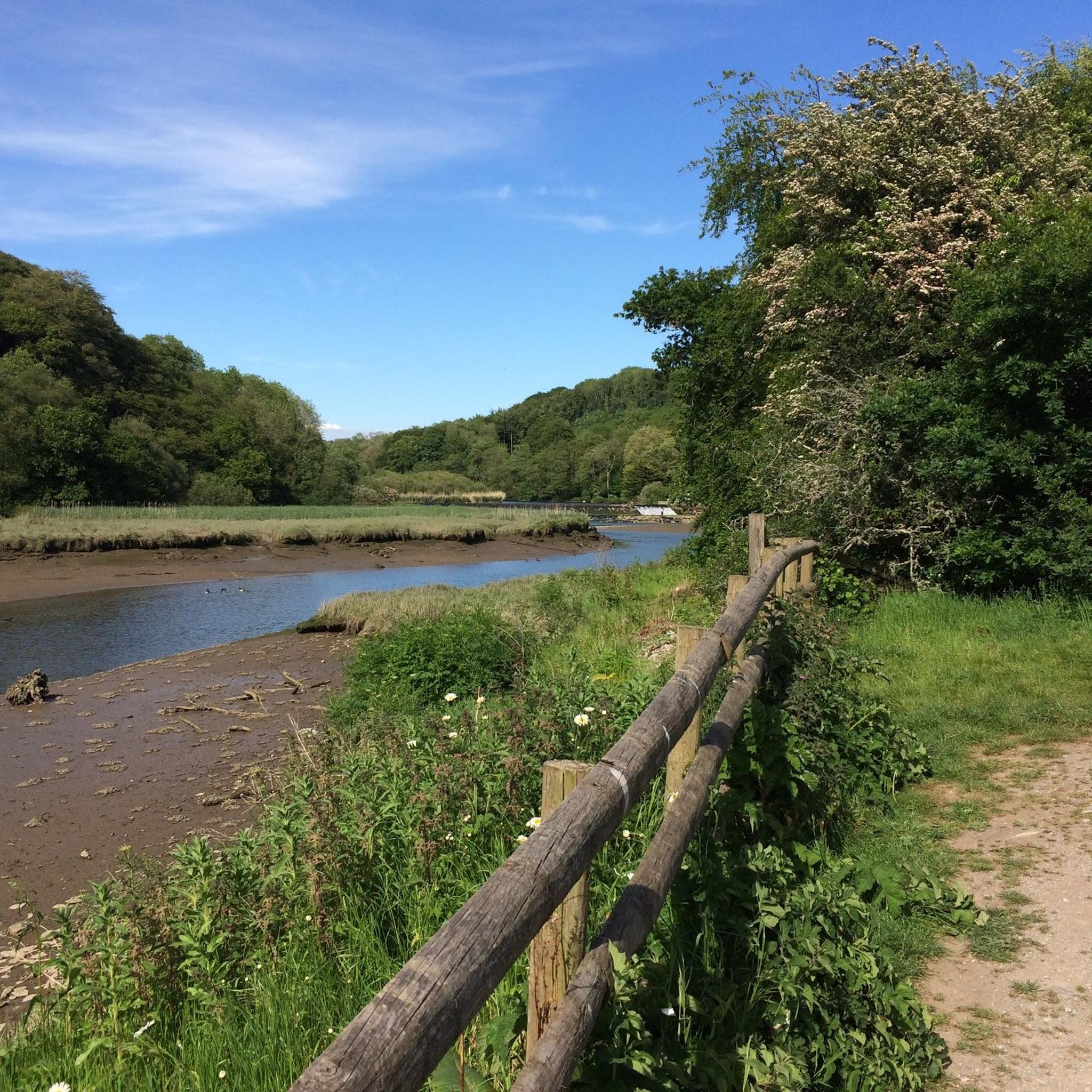
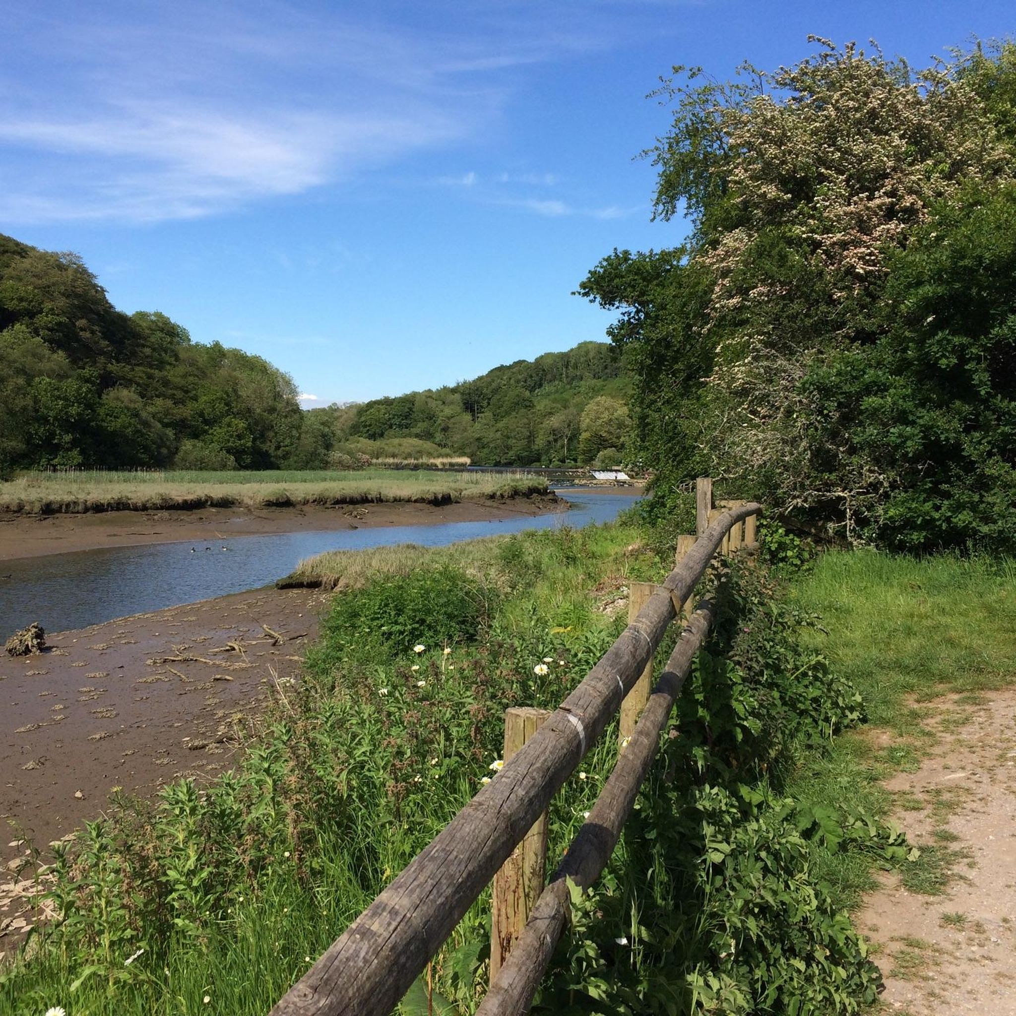
There is a nice 'cook out' style cafe called 'Inky's' at Golitha Falls at about 3-4 miles from the end of the route. This route is very muddy and floods easily in winter but still easily navigable.
0
0

Frequently Asked Questions
What kind of terrain can I expect on gravel bike trails around St. Dominick?
The gravel bike trails in St. Dominick, located within the Tamar Valley National Landscape, feature a diverse mix of terrain. You'll encounter ancient hedge banks, twisting lanes, and paths through woodlands. Higher elevations offer a moorland character with rock outcrops. The region's deep river valleys and ancient oak woods also contribute to the varied landscape.
Are there any family-friendly gravel biking options in St. Dominick?
While many routes in the immediate St. Dominick area are rated moderate to difficult, the broader Tamar Valley offers options suitable for various skill levels. The Tamar Trails Centre, for example, provides a network of woodland trails that can be enjoyed by families. For a moderate route, consider the Siblyback Dam – Siblyback Lake loop from Crow's Nest, which is 22.7 km long.
What are some notable landmarks or natural features I might see along the trails?
The trails around St. Dominick are rich in both natural beauty and historical interest. You can explore remnants of the area's mining past, such as the Wheal Anna Maria Calciner Complex and the Grenofen Tunnel. Natural features include the scenic Cotehele Quay and the impressive Gem Bridge. For panoramic views, the Kit Hill Trig Point is a significant landmark.
Are there any circular gravel bike routes available?
Yes, several routes in the area are designed as loops. For instance, the Gem Bridge – Grenofen Tunnel loop from Tavistock is a difficult 31.0 km route that explores woodland paths. Another option is the Grenofen Tunnel – Gem Bridge loop from Tavistock, a moderate 24.6 km ride.
What is the best time of year to go gravel biking in St. Dominick?
The Tamar Valley, where St. Dominick is located, offers appealing conditions throughout the year due to its microclimate. Spring is particularly vibrant with daffodils, magnolias, primroses, and bluebells. The lush vegetation and wildlife-rich habitats make it enjoyable in most seasons, though checking local weather forecasts is always advisable.
What do other gravel bikers enjoy most about the trails in St. Dominick?
The trails around St. Dominick are highly rated by the komoot community, with an average score of 5.0 stars. Reviewers often praise the varied terrain, which includes deep river valleys, ancient oak woods, and moorland sections, providing a diverse and engaging experience for gravel bikers.
Are there options for longer, more challenging gravel rides?
Absolutely. For experienced gravel bikers seeking a challenge, the Granite & Gears: Princetown & Burrator Loop is a difficult 45.2 km trail traversing moorland with significant elevation gain. Another demanding option is the Grenofen Tunnel – Burrator Reservoir and Dam loop from Tavistock, which covers 38.9 km through varied terrain.
Is public transport available to access the gravel biking trails?
While St. Dominick itself is a smaller parish, the wider Tamar Valley region has some public transport links. However, for direct access to specific trailheads, especially those further afield, personal transport is generally recommended. It's best to check local bus services for routes connecting to larger towns like Tavistock, which serve as starting points for some trails.
Where can I find parking near the gravel biking routes?
Parking availability varies by trailhead. Many routes, especially those starting from towns like Tavistock or near popular attractions, will have designated parking areas. For example, areas around the Tamar Trails Centre offer parking facilities. Always check specific route details or local signage for the most accurate parking information.
Are there any cafes or pubs along the gravel biking routes for refreshments?
The Tamar Valley has a developed tourist infrastructure, and many villages and towns within the region offer cafes, pubs, and accommodation. While specific routes might not have facilities directly on the trail, planning your ride to pass through or finish near a village like St. Dominick itself, or nearby towns, will provide opportunities for refreshments.
Can I bring my dog on the gravel biking trails?
Many outdoor areas in the UK, including parts of the Tamar Valley National Landscape, are dog-friendly, especially on public rights of way. However, it's crucial to keep dogs under control, particularly around livestock or in nature conservation areas. Always check local signage and respect any specific restrictions on individual trails or private land.
Most popular routes around St. Dominick
Most popular attractions around St. Dominick

Get inspired with the komoot mobile app


Explore more
Browse the best Gravel rides in other regions.
