Easy hikes and walks in Carroll County
4.6
(592)
9,143
hikers
228
hikes
Easy hiking trails in Carroll County, Maryland, traverse a landscape characterized by gently rolling hills, diverse woodlands, and scenic lakefronts. The region's topography features numerous drainage basins and elevations ranging from approximately 700 to 1,600 feet above sea level, offering accessible paths rather than rugged mountain climbs. Hikers can explore varied natural environments, including meadows, wetlands, and riverbanks, providing a range of immersive outdoor experiences. This makes Carroll County an ideal destination for those seeking easy and family-friendly outdoor activities.
…Last updated: July 8, 2026
4.5
(2)
7
hikers
4.26km
01:24
210m
170m
Easy hike. Great for any fitness level. Easily-accessible paths. Suitable for all skill levels.
4.0
(1)
7
hikers
2.85km
00:44
10m
10m
Easy hike. Great for any fitness level. Easily-accessible paths. Suitable for all skill levels.

Sign up for free
2
hikers
893m
00:14
0m
20m
Easy hike. Great for any fitness level. Easily-accessible paths. Suitable for all skill levels.
1
hikers
2.15km
00:50
250m
0m
Easy hike. Great for any fitness level. Easily-accessible paths. Suitable for all skill levels.
1
hikers
3.92km
01:00
10m
10m
Easy hike. Great for any fitness level. Easily-accessible paths. Suitable for all skill levels.
1
hikers
4.54km
01:14
60m
60m
Easy hike. Great for any fitness level. Easily-accessible paths. Suitable for all skill levels.
1
hikers
4.75km
01:33
240m
190m
Easy hike. Great for any fitness level. Easily-accessible paths. Suitable for all skill levels.
1
hikers
3.12km
01:16
230m
240m
Easy hike. Great for any fitness level. Easily-accessible paths. Suitable for all skill levels.
3.60km
00:58
40m
40m
Easy hike. Great for any fitness level. Easily-accessible paths. Suitable for all skill levels.
1.66km
00:28
40m
10m
Easy hike. Great for any fitness level. Easily-accessible paths. Suitable for all skill levels.
Get access to more routes and recommendations from other explorers.
Sign up for free
Already have an account?
Our route recommendations are based on thousands of hikes, rides, and runs completed by other people on komoot.
Start today with a free account
Your next adventure awaits.
Login or Signup
Popular around Carroll County

Easy hikes around Conway

Easy hikes in Crawford Notch State Park

Easy hikes around Lake Winnipesaukee

Easy hikes around Bartlett

Easy hikes around North Conway
Easy hikes around Center Sandwich

Easy hikes around Wolfeboro

Easy hikes in Freedom Town Forest

Easy hikes in Bowditch-Runnels State Forest

Easy hikes in Hemenway State Forest
Other adventures in Carroll County

Tips from the Community

The Swift River flows in its natural riverbed through dense forests in the south of the White Mountain National Forest nature reserve before it flows into the Saco River near Conway. In the lower valley near the city, the riverbed widens; during the dry months, wide gravel banks become visible at the confluence of the Red Eagle Brook. Native Americans are known to have inhabited the region at the confluence with the Saco River in the 17th century. The Kancamagus Trail ran along the Swift River. The name Kancamagus goes back to the leader of the natives in the region at that time, who fought fearlessly against the English settlers. Settlement by immigrants probably took place in the early 19th century; a small farm from that time is now used as a museum of early American life and was added to the National Register of Historic Places in 1987. Environmental Fact Sheet: Swift River https://www.des.nh.gov/sites/g/files/ehbemt341/files/documents/2020-01/rl-12.pdf
2
0

At 2,031 feet, Tin Mountain is the centerpiece of the Tin Mountain Conservation Center. The summit offers some views of the surrounding area and the Doubleheads off in the distance.
0
0

The crystal-clear waters of the Swift River are flowing through the White Mountains and are passing Conway at the marked section. There is a hiking trail leading along the shores of the river that forms a loop.
0
0
Beede Falls is a picturesque waterfall surrounded by the beauty of the White Mountains. The falls cascade over a series of rock ledges, creating a beautiful natural attraction, that can be easily reached via the nearby trail.
0
0
Basin Brook Reservoir is right outside of Basin Pond Campground and can be seen from the parking lot at the Basin Trail Trailhead. The reservoir is popular for fishing, but it remains a pretty quiet reservoir and is a good spot to see wildlife.
0
0
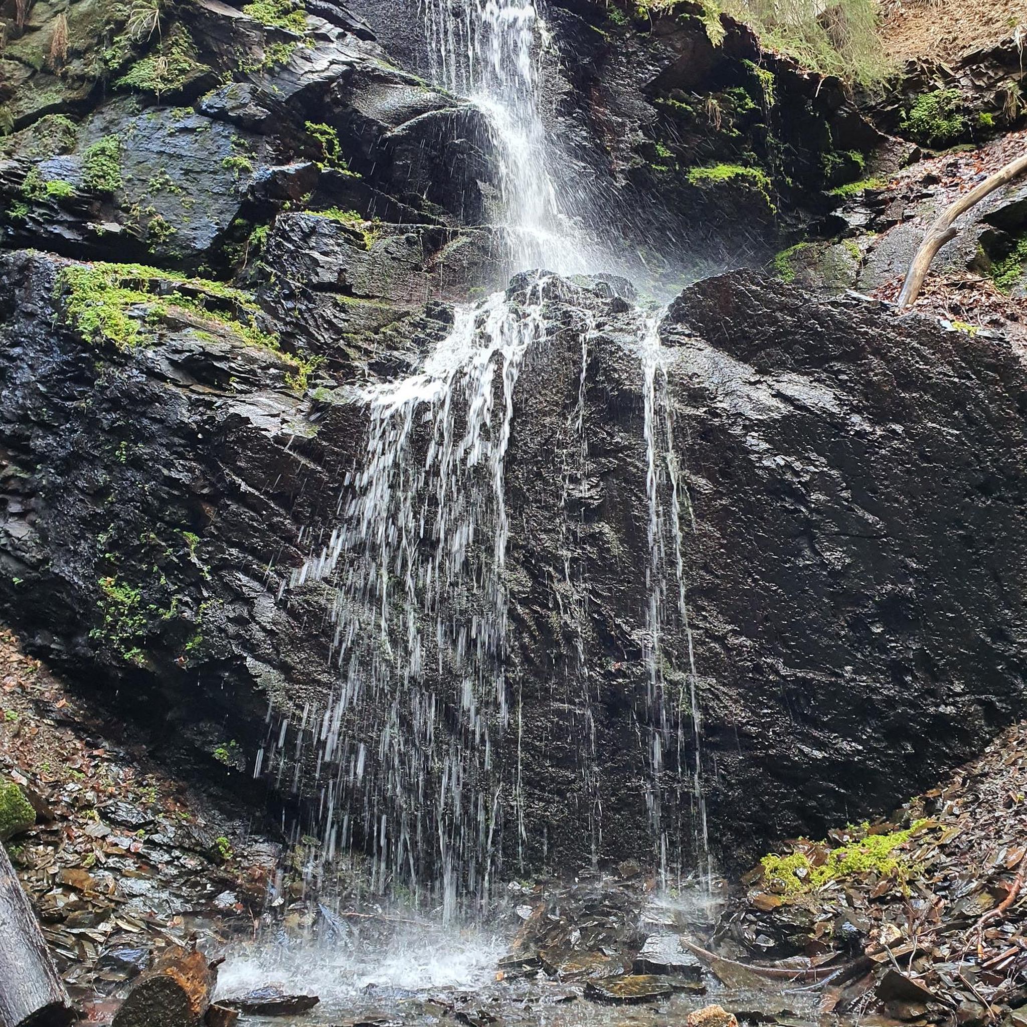
Hermit Falls is a small waterfall off of the Basin Trail just north of Basin Brook Reservoir. The falls are stronger in the spring and after recent rains, but there is always some sort of flow present. There is a creek beside the entire trail up to this point, and there is a small pool of water at the base of the falls.
0
0
Basin Brook Reservoir is right outside of Basin Pond Campground and can be seen along the beginning of the Basin Trail. The reservoir is popular for fishing, but it remains a pretty quiet reservoir and is a good spot to see wildlife.
0
0
Basin Brook Reservoir is right outside of Basin Pond Campground and can be seen along the beginning of the Basin Trail. The reservoir is popular for fishing, but it remains a pretty quiet reservoir and is a good spot to see wildlife.
0
0
Frequently Asked Questions
How many easy hiking trails are available in Carroll County?
Carroll County offers a wide selection of easy hiking trails. There are over 70 easy routes available, making it an ideal destination for leisurely walks and accessible outdoor adventures.
What kind of scenery can I expect on easy hikes in Carroll County?
Easy hikes in Carroll County feature diverse scenery, including gently rolling hills, lush woodlands, serene meadows, and picturesque lakefronts. You'll find varied natural environments, from wetlands to riverbanks, offering immersive experiences without rugged mountain climbs.
Are there family-friendly easy hikes in Carroll County?
Yes, Carroll County is excellent for family-friendly hikes. Many trails are designed to be accessible, with options suitable for all ages. Parks like Piney Run Park and Hashawha Environmental Center offer gentle paths perfect for families. For a short, scenic walk, consider the Diana's Bath Trail.
Can I find easy loop trails in Carroll County?
Yes, Carroll County features several easy loop trails. These routes allow you to start and end at the same point, offering a convenient hiking experience. An example is the Davis Farm, Swift River, and Crossover Trail Loop, which is 1.8 miles long and offers gentle gradients.
Are there easy trails with waterfalls or scenic viewpoints in Carroll County?
While Carroll County is known for its rolling hills and woodlands, you can find scenic water features and viewpoints. The nearby Patapsco Valley State Park (McKeldin Area) offers views of the Liberty Dam Overlook. For waterfalls, you can explore highlights like Glen Ellis Falls or Diana's Baths Waterfalls, which are accessible via easy paths.
What are some less crowded easy hiking options in Carroll County?
To find less crowded options, consider exploring trails within smaller local parks such as Freedom Park, Gillis Falls Park, or Sandymount Park during off-peak hours. These often provide a tranquil experience amidst nature. The Church Pond Trail is a shorter, peaceful option.
Is Carroll County suitable for beginner hikers?
Absolutely. Carroll County is highly suitable for beginner hikers. Its landscape of gently rolling hills and well-maintained paths provides a good workout without steep challenges. Many trails are designed for easy access, making them perfect for those new to hiking or looking for a relaxed outdoor experience.
What is the best season for easy hikes in Carroll County?
Spring and fall are generally the best seasons for easy hikes in Carroll County. Spring brings blooming wildflowers and mild temperatures, while fall offers stunning foliage. Summer can be pleasant, especially in shaded woodland areas, and winter hikes are possible on clear days, though some paths might be muddy or icy.
Are there any easy trails that are dog-friendly in Carroll County?
Many parks and trails in Carroll County welcome dogs, usually on a leash. It's always best to check specific park regulations before you go. Generally, trails in areas like Piney Run Park and Hashawha Environmental Center are popular choices for dog walkers.
What do other hikers enjoy the most about hiking in Carroll County?
The area is highly rated by the komoot community, with an average score of 4.5 stars from nearly 300 reviews. Hikers often praise the diverse woodlands, tranquil lakefronts, and the accessibility of the trails, which offer a refreshing connection with nature without being overly strenuous.
Are there any easy trails near historical sites in Carroll County?
Yes, you can combine easy hiking with a touch of history. The Union Mills Homestead offers walking trails alongside its historic mill and gardens, providing a unique blend of heritage and natural beauty. The Union Mills Trail is a moderate option that explores woodlands and valley views.
How long do easy hikes in Carroll County typically take?
The duration of easy hikes in Carroll County varies depending on the trail length and your pace. Many easy routes can be completed in under an hour, such as the Diana's Bath Trail, which takes about 15 minutes. Longer easy trails, like the Tin Mountain Summit Loop (2.7 miles), might take around an hour and a half.
Are there easy trails with water views in Carroll County?
Yes, Carroll County offers several easy trails with beautiful water views. Piney Run Park features a pristine lake with trails like the Piney Run Park Inlet Trail loop, providing consistent water vistas. The Liberty Reservoir also has various hiking options along its shores, such as the Liberty Reservoir Shore Loop.
Most popular routes in Carroll County
Most popular attractions in Carroll County

Get inspired with the komoot mobile app


Didn’t find what you were looking for?
Check out more Hikes throughout Carroll County below and find the perfect route in your destination.
Explore more
Browse the best Hikes in other regions.
