Routes

Planner

Features

Updates

App

Login or Signup

Get the App

Login or Signup

Routes
Hikes
United States
Utah
Emery County

Manti-La Sal National Forest

Routes
Hikes
United States
Utah
Emery County

Manti-La Sal National Forest

Easy hikes and walks in Manti-La Sal National Forest

4.8

(219)

3,402

hikers

97

hikes

Easy hiking trails in Manti-La Sal National Forest traverse a diverse landscape spanning over 1.2 million acres, featuring varied elevations from 4,500 feet to over 12,000 feet. The forest encompasses distinct mountain blocks, including the La Sal Mountains, Abajo Mountains, and Wasatch Plateau. Hikers encounter dense aspen and fir forests, alpine meadows, and high-elevation lakes, contrasting with red rock canyons and plateaus in lower areas. This environment provides a range of natural features for exploration.

Best easy hiking trails in Manti-La Sal National Forest

  • The most popular easy hiking route is Clark Lake Loop Trail, a 2.8 miles (4.5 km) trail that takes 1 hour 28 minutes to complete. This loop offers views of Clark Lake and Oowah Lake.
  • Another top favourite among local hikers is West Wagon Road Loop Trail, an easy 3.3 miles (5.4 km) path. This route features varied terrain, including forested sections and open areas.
  • Local hikers also love the Dory Canyon Trail, a 2.7 miles (4.4 km) trail leading through canyon landscapes, often completed in about 1 hour 23 minutes.
  • Hiking in Manti-La Sal National Forest is defined by lush forests, alpine lakes, and dramatic red rock canyons. The network offers options for different ability levels, with many easy hiking routes available.
  • The routes in Manti-La Sal National Forest are highly rated by the komoot community with an average score of 4.7 stars from more than 100 reviews. More than 2,000 hikers have used komoot to explore Manti-La Sal National Forest's varied terrain.

Last updated: July 22, 2026

5.0

(1)

12

hikers

#1.

Clark Lake Loop Trail

4.50km

01:28

190m

190m

Embark on the easy Clark Lake Loop Trail, a 2.8-mile (4.5 km) hike that takes you through varied forest landscapes. You'll gain 629 feet (192 metres) in elevation, a journey that typically lasts around 1 hour and 28 minutes. As you hike, you'll transition from dense conifer forests into bright aspen groves, especially after ascending from Lake Oowah. Keep an eye out for wildflowers blooming in late summer, adding splashes of color to the path. While the forest can sometimes obscure them, you'll catch glimpses of the serene Clark Lake and the majestic La Sal Mountains.

Good footwear is essential for this route, as you'll encounter some rocky sections and steeper parts with switchbacks. Although rated easy, hiking poles are recommended for those more challenging portions to help with stability. This is a multi-use trail, so be prepared to share the path with mountain bikers and equestrian users during your visit. Always be aware of your surroundings and yield to other trail users.

Clark Lake holds a unique distinction as the only lake in the La Sal Mountains that is not accessible by road, adding to its secluded charm. The trail offers a chance to experience the diverse ecosystems of Utah's Manti-La Sal National Forest. You can expect to see a mix of dark conifer trees and vibrant aspens, creating a dynamic and engaging natural environment throughout your hike.

Navigate with device

Send to Phone

Save

Easy

1.64km

00:38

170m

40m

Embark on an easy hike along the Maple Canyon Arch Trail, a short but rewarding route in the Manti-La Sal National Forest. You will cover 1.0 miles (1.6 km) with a steady elevation gain of 570 feet (174 metres), which typically takes around 38 minutes to complete. The path leads you through distinctive rock walls and conglomerate cliffs, offering a unique visual experience as you make your way to the main attraction.

As you plan your visit, be aware that the trail features rocky and uphill sections, so wearing appropriate footwear is essential for comfort and safety. While no specific permits or fees are mentioned for accessing this area, it is always a good practice to check local regulations before you head out. The trail is accessible for most of the year, but conditions can vary with the seasons.

The highlight of your journey will be the impressive Natural Arch, a geological wonder standing approximately 30 feet high and 20 feet wide, formed from the canyon's unusual conglomerate rock. Depending on when you visit, you might catch the vibrant display of wildflowers in early June or the stunning fall foliage from the maple trees that give the canyon its name. This trail offers a quick immersion into the unique natural beauty of the region.

Easy
guide_signup
Let us show you the way with the komoot mobile app
With a free komoot account, you can easily find, customize, and navigate endless outdoor adventures.

Sign up for free

532m

00:12

60m

0m

Embark on the Box Canyon Trail for a quick, easy hike through a distinctive canyon landscape. This route covers 0.3 miles (0.5 km) and involves an elevation gain of 189 feet (58 metres), taking approximately 12 minutes to complete. As you walk, you will find yourself surrounded by impressive rock formations and the quiet seclusion of the canyon walls, offering a unique natural experience.

Planning your visit to the Box Canyon Trail is straightforward, as it is easily accessible for a short outdoor escape. Parking is generally available right at the trailhead, making it convenient for a quick stop during your day. Before heading out, always remember to check local conditions, especially for any seasonal changes that might impact access or trail conditions.

Located within the Manti-La Sal National Forest, the Box Canyon Trail stands out for its unique geology and the natural beauty of its canyon environment. It provides a brief but immersive experience into an ecosystem rich with geological features. This trail offers a perfect opportunity to appreciate the area's distinctive landscape without committing to a longer excursion.

Easy

Explore the West Wagon Road Loop Trail, an easy hike covering 3.3 miles (5.4 km) with a gentle elevation gain of 437 feet (133 metres), typically taking about 1 hour and 32 minutes to complete. You will walk through peaceful piney woods and areas of dry, scrubby vegetation, experiencing varied terrain that includes both loose, rocky patches and more packed sections. Keep an eye out for the rugged cliff-band to the north, a notable scenic feature that adds to the backdrop of your journey. This route offers a straightforward outdoor experience, perfect for a relaxing outing.

Before you head out, be aware that the trail can become muddy after rain, so it is wise to check local conditions beforehand. If you plan your visit during hunting season, motorized hunting parties are common in the area, so wearing bright orange for visibility is a good safety measure. Some sections of the trail can be faint, so pay attention to stay on course and enjoy your hike without getting sidetracked.

This loop is situated within the Manti-La Sal National Forest, near Monticello, Utah, offering a taste of the region's natural beauty. While hiking, you might notice the possibility of vibrant fall colors if you visit at the right time of year, adding another layer to the scenic experience. The route begins with a gentle climb and includes one steeper section before the loop truly starts, providing a small challenge within its overall easy rating.

Easy

4.44km

01:23

180m

180m

The Dory Canyon Trail offers an easy hike through the classic desert and mountain landscape of Manti-La Sal National Forest. You'll follow a straightforward path over natural ground, covering 2.8 miles (4.4 km) with an elevation gain of 580 feet (177 metres). This route is perfect for a quick outdoor escape, taking about 1 hour and 22 minutes to complete. As you hike, keep an eye out for the impressive Brumley Arch, a natural monument that stands out against the rugged scenery. The views along the way truly capture the essence of this unique region.

Before you head out, it's a good idea to check current trail conditions with the Moab Ranger District, especially since a wildfire has affected the area previously. Parking is generally available right at the trailhead, making access convenient. Be aware that the trail is multi-use; you will be sharing the path with mountain bikers, horseback riders, and OHVs, so stay alert and respectful of other users. Planning your visit during cooler parts of the day can enhance your experience in this desert environment.

This trail provides a great opportunity to experience the unique geology and ecosystems of the Manti-La Sal National Forest. The presence of Brumley Arch highlights the natural forces that have shaped this rugged landscape over time. It's a prime example of the kind of natural wonders you can discover in this region, offering a glimpse into the area's rich geological history. The route serves as an excellent introduction to the diverse outdoor activities available around Moab.

Easy
Sign up for free to see 93 more hikes in Manti-La Sal National Forest.

Get access to more routes and recommendations from other explorers.

Sign up for free

Already have an account?

Our route recommendations are based on thousands of hikes, rides, and runs completed by other people on komoot.

Start today with a free account

Your next adventure awaits.

Login or Signup

Popular around Manti-La Sal National Forest
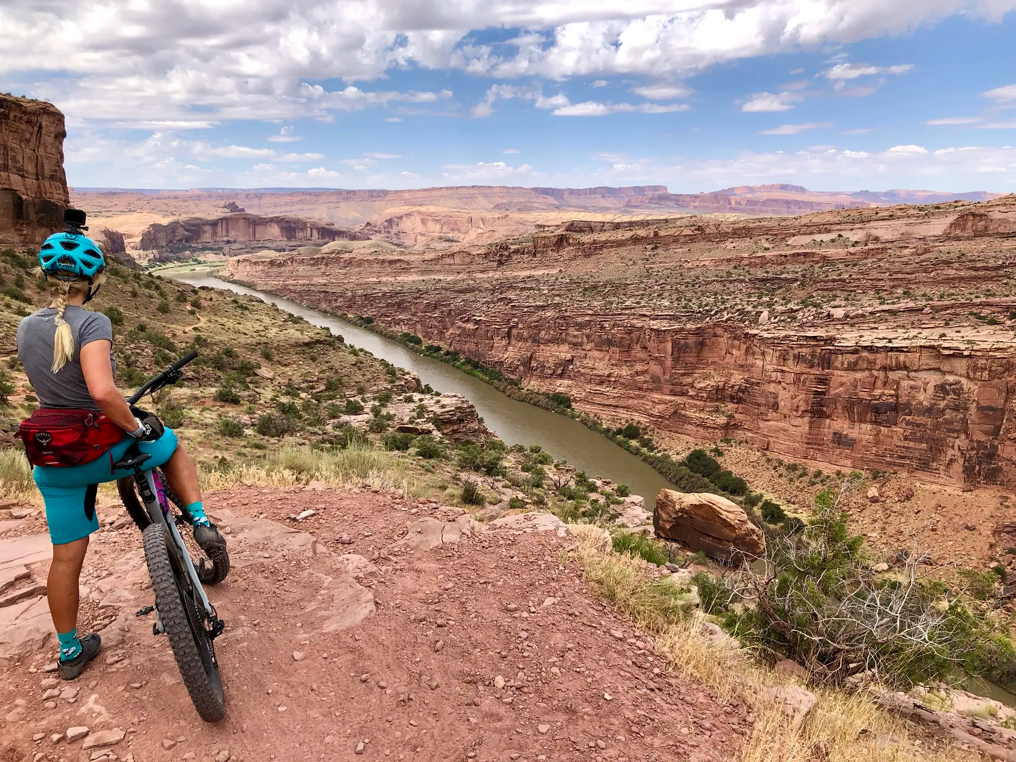
Kokopelli's Trail — Biking a legend’s trail across the desert

MTB Trip to Moab – a mountain bike Mecca in Utah

Other adventures in Manti-La Sal National Forest

Kokopelli's Trail — Biking a legend’s trail across the desert

Mountain Biking Collection by

Andrus

Tips from the Community

Jamie S.
October 2, 2023, West Wagon Road Loop

The West Wagon Road Loop Trail is a short, pleasant detour west off of the main Wagonwheel Trail. You climb gently up a spur trail through pine and scrub oak forest to hit the loop, which passes by some primitive campsites and an overlook, where you can get some great views of a rugged cliff-band and South Peak to the north.

0

0

The southern Wagonwheel Trail Trailhead is located off of Forest Road #084, or Recapture Road, and has a parking area for vehicles and a vault toilet. Wagonwheel Trail itself is just over 3 miles long (one way) and a popular trail with hikers, mountain and dirt bikers, horseback riders, and OHV-ers. Also be on the lookout for mule deer, which are plentiful at the trailhead and along the trail. Although the Wagonwheel Trail is generally well-maintained, conditions can vary widely during spring runoff, and summer monsoons so be sure to check in with Monticello Ranger District for updated information.

0

0

Darin Graber
March 19, 2023, Brumley Arch

While not on the to-do list of many visitors to this area, Brumley Arch is a beautifully-striated geologic formation that rewards the short but strenuous hike required to reach it. The juxtaposition between the arch and the nearby waterfall remind hikers of the huge scale of time involved in the creation of this region's natural attractions.

0

0

A short climb through beautiful scenery, Brumley Arch Trail can be done as a loop, for those who don't mind walking along the forest service road to connect the loop. It features wildflowers, beautiful aspen and evergreen groves, and even a small waterfall near the arch itself. Unfortunately, there has been a recent wildfire in the area, so you'll need to check with the Moab Ranger District for the latest updates on the trail's status.

0

0

Darin Graber
March 11, 2023, Clark Lake

A similarly situated and beautiful lake to Lake Ooway, Clark Lake may offer even more tranquility, because there is no overnight camping or fishing allowed here. Hikers can circle the lake while staying on trail and find that perfect lunch, rest, or nap spot.

0

0

Darin Graber
March 11, 2023, Lake Oowah

A small alpine lake sitting at 8,000 feet, Lake Oowah was formed by a dam on its north end. Lake Oowah offers camping, a day use area where hikers can cool off, and fishing opportunities. Be sure to see the local regulations before dropping a line (https://wildlife.utah.gov/licenses/licenses-permits.html).

0

0

Frequently Asked Questions

How many easy hiking trails are available in Manti-La Sal National Forest?

Manti-La Sal National Forest offers a wide selection of easy hiking trails, with nearly 50 routes specifically categorized as easy. In total, there are over 90 hiking routes across various difficulty levels within the forest.

What is the best time of year for easy hiking in Manti-La Sal National Forest?

The best time for easy hiking in Manti-La Sal National Forest is generally from late spring through early fall. During these months, the higher elevations offer a cool escape from the desert heat, with wildflowers blooming in summer. Some trails may have snow patches early in the season, particularly at higher altitudes.

Are there any easy loop trails in Manti-La Sal National Forest?

Yes, there are several easy loop trails. A popular option is the West Wagon Road Loop Trail, which is 3.3 miles long and features varied terrain through forested sections and open areas. Another excellent choice is the Clark Lake Loop Trail, offering views of Clark Lake and Oowah Lake over 2.8 miles.

What can I see along the easy hiking trails in Manti-La Sal National Forest?

Easy hiking trails in Manti-La Sal National Forest offer diverse scenery. You can explore lush aspen and fir forests, alpine meadows, and high-elevation lakes. Notable natural attractions include Lake Oowah and the dramatic red rock canyons found in lower areas. Some trails also lead to viewpoints like Bull Canyon Overlook and Dinosaur Track Site.

Are easy hiking trails in Manti-La Sal National Forest suitable for families?

Many easy hiking trails are suitable for families. Routes like the Clark Lake Loop Trail and the Box Canyon Trail are relatively short and have minimal elevation gain, making them great options for children and those seeking a gentle outdoor experience. The varied landscapes keep young explorers engaged.

Are dogs allowed on the easy hiking trails?

Generally, dogs are permitted on trails within Manti-La Sal National Forest, but they must be kept on a leash. It's always a good idea to check specific trail regulations before heading out, as rules can vary. Ensure you pack out all waste to keep the trails clean for everyone.

What are some short, easy trails for a quick walk?

For a quick and easy walk, consider the Box Canyon Trail, which is only about 0.3 miles long and can be completed in under 15 minutes. Another short option is the Maple Canyon Arch Trail, a 1-mile route that takes less than an hour.

What do other hikers say about the easy trails in Manti-La Sal National Forest?

The easy trails in Manti-La Sal National Forest are highly regarded by the komoot community, with an average rating of 4.7 out of 5 stars from over 120 reviews. Hikers often praise the diverse landscapes, from lush forests to alpine lakes, and appreciate the well-maintained paths that make for an enjoyable and accessible outdoor experience.

Where can I find parking for easy trailheads?

Parking is generally available at designated trailheads throughout Manti-La Sal National Forest. Specific parking information can often be found on individual route pages or by checking with the local Forest Service offices. Popular areas like those near Oowah Lake often have established parking lots.

Are there any easy trails with minimal elevation gain?

Yes, many easy trails in the Manti-La Sal National Forest are selected for their minimal elevation gain, making them accessible for all fitness levels. Routes like the Box Canyon Trail are particularly flat, offering a gentle experience through scenic landscapes.

What towns are near Manti-La Sal National Forest for amenities?

The Manti-La Sal National Forest is vast, but key towns providing amenities include Moab, Monticello, Ephraim, and Price. Moab, in particular, is a popular hub near the La Sal Mountains section, offering a wide range of services, accommodation, and dining options for hikers.

Most popular routes in Manti-La Sal National Forest

Hiking in Manti-La Sal National Forest

Most popular attractions in Manti-La Sal National Forest

Places to see

Store rating

Get inspired with the komoot mobile app

With a free komoot account, you can easily find, customize, and navigate endless outdoor adventures.

or

Join komoot Now

Store rating

Explore more

Browse the best Hikes in other regions.

San Rafael Swell Recreation AreaWasatch PlateauGoblin Valley State ParkMuddy Creek WildernessLittle Ocean Draw WildernessBig Wild Horse Mesa WildernessMiddle Wild Horse Mesa Wilderness

Nearby adventure guides

Things to Do in San Rafael Swell Recreation Area

Things to Do in Mexican Mountain Wilderness

background

Get ready to conquer new peaks

Sign up for Free

Explore
RoutesRoute plannerFeaturesHikesMTB TrailsRoad cycling routesBikepackingSitemap
Download the app
Follow Us on Socials

© komoot GmbH

Privacy Policy