Easy hikes and walks in Weminuche Wilderness
4.8
(45)
698
hikers
69
hikes
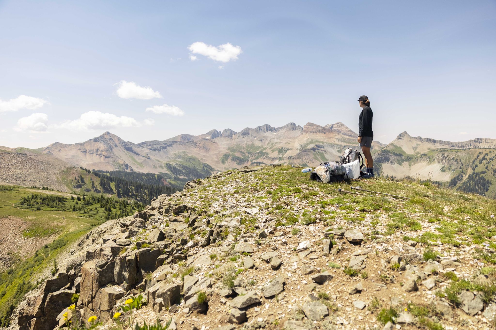
Easy hiking trails in Weminuche Wilderness traverse a vast, high-altitude landscape characterized by glaciated terrain and dramatic geological formations. The region features numerous peaks, diverse ecosystems ranging from montane forests to alpine tundra, and significant river systems like the Rio Grande and San Juan. Evidence of past glaciation is abundant, with cirques, tarns, and U-shaped valleys, supporting a variety of flora and fauna.
Best easy hiking trails in Weminuche Wilderness
- The most popular easy hiking route is Lobo Overlook and…
Last updated: October 10, 2026
3.94km
01:09
50m
210m
Embark on an easy hike along the Lobo Overlook and Continental Divide Trail, a 2.5-mile (3.9 km) route that takes about 1 hour and 8 minutes to complete. You'll gain…
1
hikers
4.48km
01:25
280m
40m
Embark on an easy hiking adventure along the Alberta Peak via Continental Divide National Scenic Trail, covering 2.8 miles (4.5 km) with an elevation gain of 932 feet (284 metres).…

3.37km
01:04
230m
0m
Embark on the Anderson Trail for an easy hike through the Weminuche Wilderness, covering 2.1 miles (3.4 km) with a manageable 748 feet (228 metres) of elevation gain. You can…
1.63km
00:26
20m
20m
The Andrews Lake Loop Trail offers a delightful, accessible stroll around a picturesque alpine lake, perfect for a quick nature fix. You'll wind through towering pine trees and open meadows,…
1.64km
00:33
130m
0m
Embark on an easy hike up Sultan Peak, a short but rewarding route in the San Juan National Forest. This trail covers 1.0 miles (1.6 km) and involves a gentle…
Get access to more routes and recommendations from other explorers.
Already have an account?
Our route recommendations are based on thousands of hikes, rides, and runs completed by other people on komoot.
Start today with a free account
Your next adventure awaits.
Popular around Weminuche Wilderness
Other adventures in Weminuche Wilderness

Tips from the Community

At Wolf Creek Pass, the Continental Divide Trail crosses Highway 160. It is a good spot to get on or off the trail or for hitching into South Fork (to the north) or Pagosa Springs (to the south). Be careful when crossing the highway as it is quite busy.
2
0

Mid-August the meadows and trail sides were a-bloom with Mountain Gentian, Fringed Gentian, and Agueweed (a species of dwarf gentian. Fireweed, lilac Fleabane, white Achillea were also in bloom. Views to the west include Engineer Mountain, Grand Turk, Bear Mountain, Sultan Mountain and more. Beautiful!
0
0

Andrews Lake is located just a few hundred feet down the trail from the trailhead parking area. The 13,077-foot Snowdon Peak looms in the background and often is reflected off the water. There is a nature trail that circles the lake, or you can just cross over the bridge/dam and continue towards the wilderness trails.
0
0
Andrews Lake is located just a few hundred feet down the trail from the trailhead parking area. The 13,077-foot Snowdon Peak looms in the background and often is reflected off the water. There is a nature trail that circles the lake, or you can just cross over the bridge/dam and continue towards the wilderness trails.
1
0
With views of Snowdon Peak and other summits in the Weminuche Wilderness from the parking lot and waterside hiking along the banks of the lake, the Andrew Lake Trail loop around the alpine reservoir is a diverse nature trail that's shorter than the other wilderness trails connected to the same trailhead.
0
0
Frequently Asked Questions
How many easy hiking trails are available in Weminuche Wilderness?
Weminuche Wilderness offers a wide selection of hiking opportunities. There are over 60 hiking routes in total, with 16 specifically categorized as easy, making them suitable for various skill levels.
What kind of terrain can I expect on easy hikes in Weminuche Wilderness?
Easy hikes in Weminuche Wilderness typically traverse high-altitude, glaciated terrain with diverse ecosystems. You'll find montane forests of ponderosa pine and Douglas fir at lower elevations, transitioning to subalpine forests of Engelmann spruce and subalpine fir higher up. Expect U-shaped valleys, cirques, and picturesque basins, often with stunning views of surrounding peaks.
What is the best time of year for easy hiking in Weminuche Wilderness?
The best time for easy hiking in Weminuche Wilderness is generally during the summer months, from late June through September. Due to the high altitude, many alpine lakes remain frozen until summer, and trails can be snow-covered well into June. Summer offers the most accessible conditions and the chance to see wildflowers.
Are there any easy loop trails in Weminuche Wilderness?
Yes, there are easy loop trails available. For example, the Andrews Lake Loop Trail is a popular 1.0-mile (1.6 km) route that takes you through a subalpine forest and around a scenic lake, perfect for a short, easy walk.
What are the typical lengths and durations for easy hikes here?
Easy hikes in Weminuche Wilderness vary in length and duration. You can find shorter trails like the Andrews Lake Loop Trail, which is about 1.0 mile (1.6 km) and takes under 30 minutes. Longer easy routes, such as Alberta Peak via Continental Divide National Scenic Trail, are around 2.8 miles (4.5 km) and can take over an hour to complete, offering more extended experiences.
Are easy trails in Weminuche Wilderness suitable for families with children?
Yes, many easy trails in Weminuche Wilderness are suitable for families. Routes like the Andrews Lake Loop Trail are short and relatively flat, making them ideal for children. The diverse scenery, including lakes and forests, provides an engaging experience for all ages.
Can I bring my dog on easy hiking trails in Weminuche Wilderness?
Weminuche Wilderness is generally dog-friendly, but it's always best to check specific trail regulations before you go. Most trails within the wilderness allow dogs, provided they are kept on a leash to protect wildlife and ensure a pleasant experience for all hikers. Always practice Leave No Trace principles.
What scenic views can I expect on easy hikes in Weminuche Wilderness?
Easy hikes often provide stunning scenic views. You can expect expansive vistas along the Continental Divide, such as on the Lobo Overlook and Continental Divide Trail. Many routes offer glimpses of majestic peaks, pristine alpine lakes, and U-shaped valleys carved by glaciers, showcasing the dramatic beauty of the San Juan Mountains.
What can I see along the easy hiking trails in terms of natural attractions?
Along easy hiking trails, you can encounter various natural attractions. Many routes lead to or offer views of beautiful lakes, such as Northern Highland Mary Lake or Twin Lakes (Chicago Basin). You might also see parts of the Animas River or distant views of prominent summits like Mount Eolus and Sunlight Peak.
What do other hikers enjoy most about easy hiking in Weminuche Wilderness?
The komoot community highly rates hiking in Weminuche Wilderness, with an average score of 4.9 stars. Reviewers often praise the pristine alpine lakes, the dramatic mountainous scenery, and the extensive network of trails that cater to various abilities. Many appreciate the immersive experience in Colorado's largest wilderness area.
Are there opportunities for wildlife spotting on easy trails?
Yes, Weminuche Wilderness is home to diverse wildlife. On easy trails, you might spot various bird species, marmots, pikas, and deer. Keep an eye out in forested areas and near water sources. Remember to maintain a respectful distance and never feed wild animals.
What should I know about elevation on easy hikes in Weminuche Wilderness?
Even easy hikes in Weminuche Wilderness can involve significant elevation due to the region's high-altitude nature. While the trails themselves might have gentle gradients, you'll often be starting at elevations above 7,700 feet. It's important to be aware of potential altitude effects and hydrate well, especially if you're not accustomed to high elevations.
Most popular routes in Weminuche Wilderness
Most popular attractions in Weminuche Wilderness

Get inspired with the komoot mobile app


Explore more
Browse the best Hikes in other regions.
