Easy hikes and walks around Furtwangen
4.6
(10776)
37,365
hikers
261
hikes
Hiking around Furtwangen im Schwarzwald offers diverse natural landscapes within the Southern Black Forest Nature Park. The region is characterized by dense forests, clear streams, and rolling hills, with deeply incised valleys and striking rock formations. Furtwangen is situated on the European watershed, featuring the source of the Breg, one of the Danube's headwaters. The terrain includes varied elevations suitable for different hiking abilities.
Best easy hiking trails around Furtwangen
- The most popular easy hiking route is Barrierefreie Rundwanderung um…
Last updated: September 26, 2026
5.0
(1)
3
hikers
Easy hike. Great for any fitness level. Easily-accessible paths. Suitable for all skill levels.
4.6
(98)
446
hikers
5.62km
01:31
80m
80m
Easy hike. Great for any fitness level. Easily-accessible paths. Suitable for all skill levels.

4.7
(96)
456
hikers
5.43km
01:28
70m
70m
Easy hike. Great for any fitness level. Easily-accessible paths. Suitable for all skill levels.
4.6
(46)
148
hikers
Easy hike. Great for any fitness level. Easily-accessible paths. Suitable for all skill levels.
4.6
(25)
97
hikers
Easy hike. Great for any fitness level. Easily-accessible paths. Suitable for all skill levels.
Get access to more routes and recommendations from other explorers.
Already have an account?
Our route recommendations are based on thousands of hikes, rides, and runs completed by other people on komoot.
Start today with a free account
Your next adventure awaits.
Popular around Furtwangen im Schwarzwald
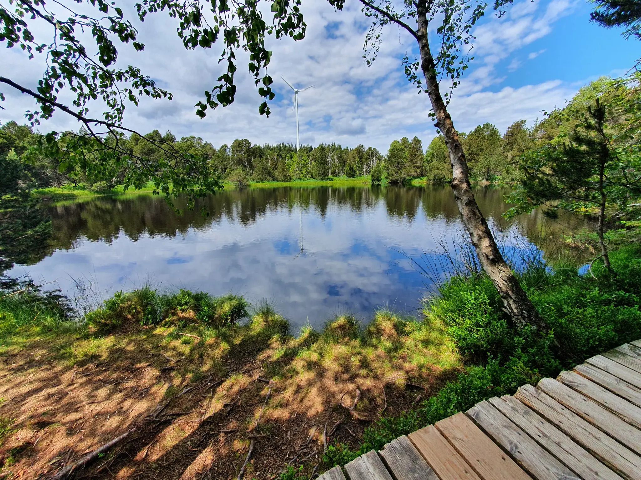
Hike the WasserWeltenSteig – Waterfalls, lakes and rivers of the Black Forest
Deep in the Black Forest - Crossing on the Westweg
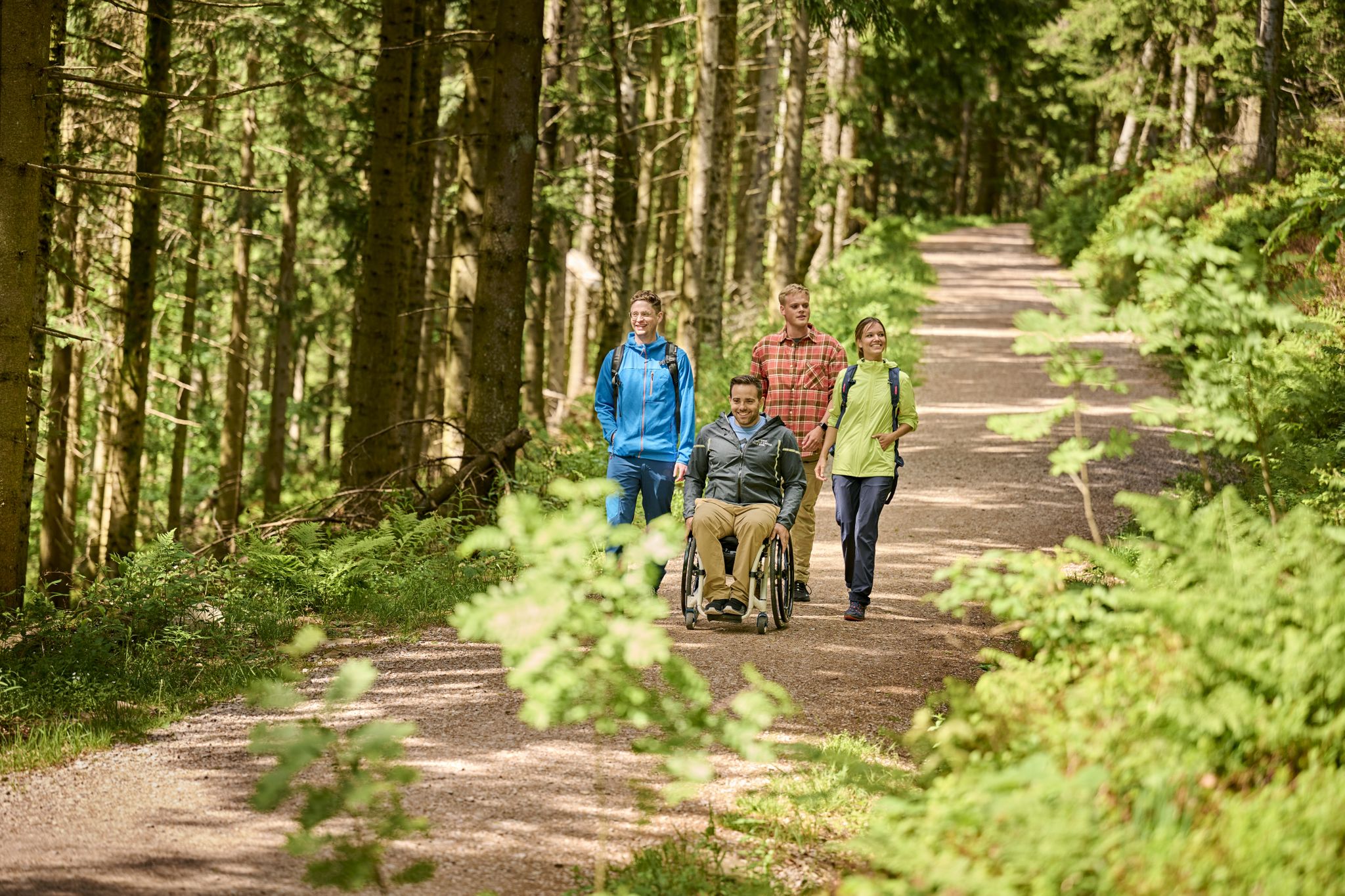
Accessible hiking routes in Baden-Württemberg
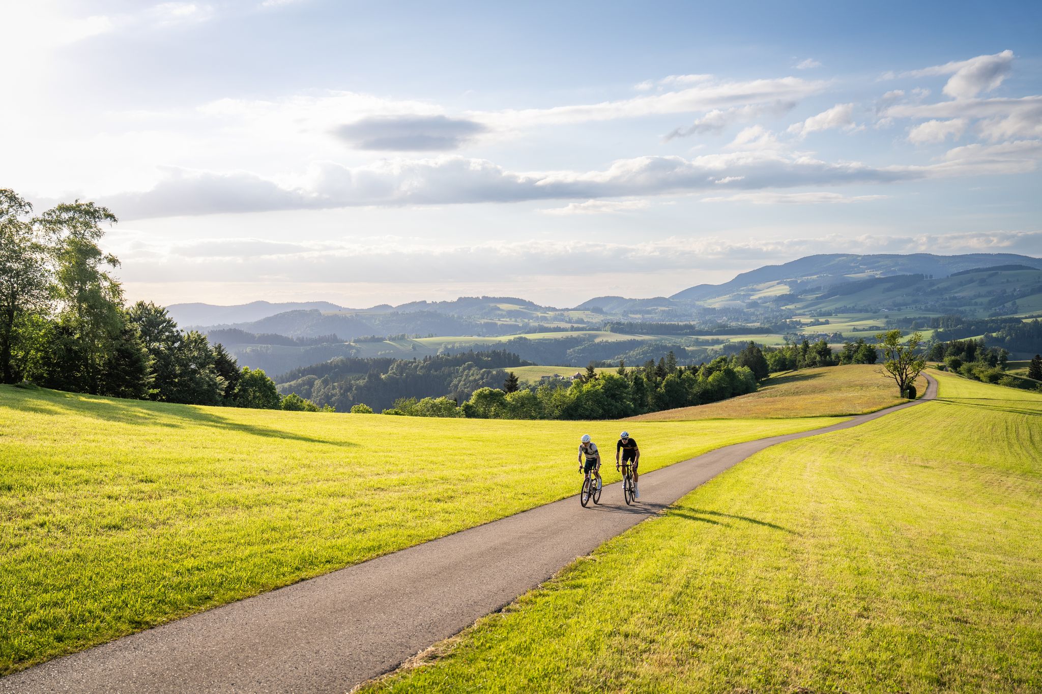
Asphalt poetry – road cycling in the High Black Forest
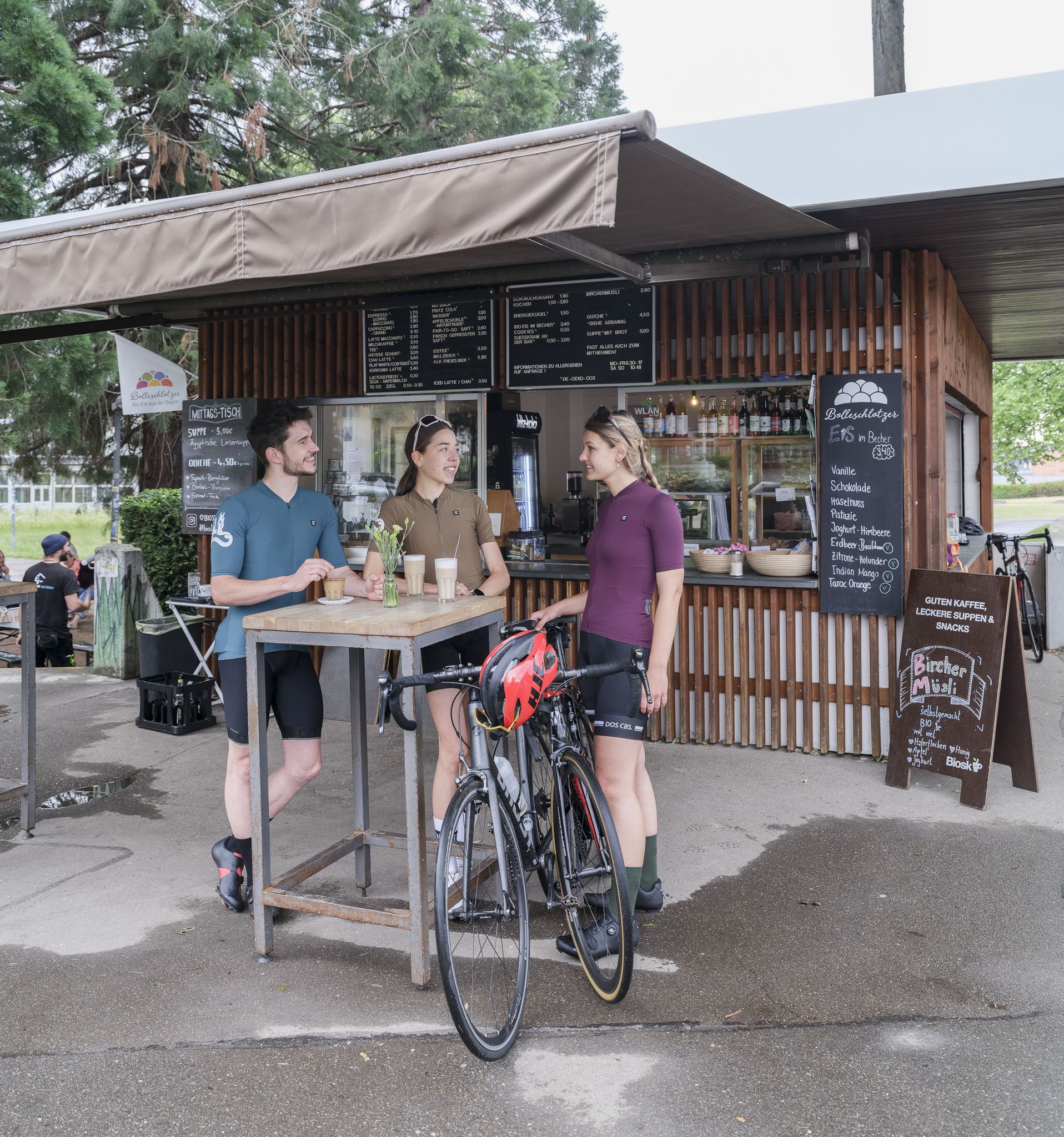
Espresso, ice cream and racing bikes – a dream mix in the Black Forest
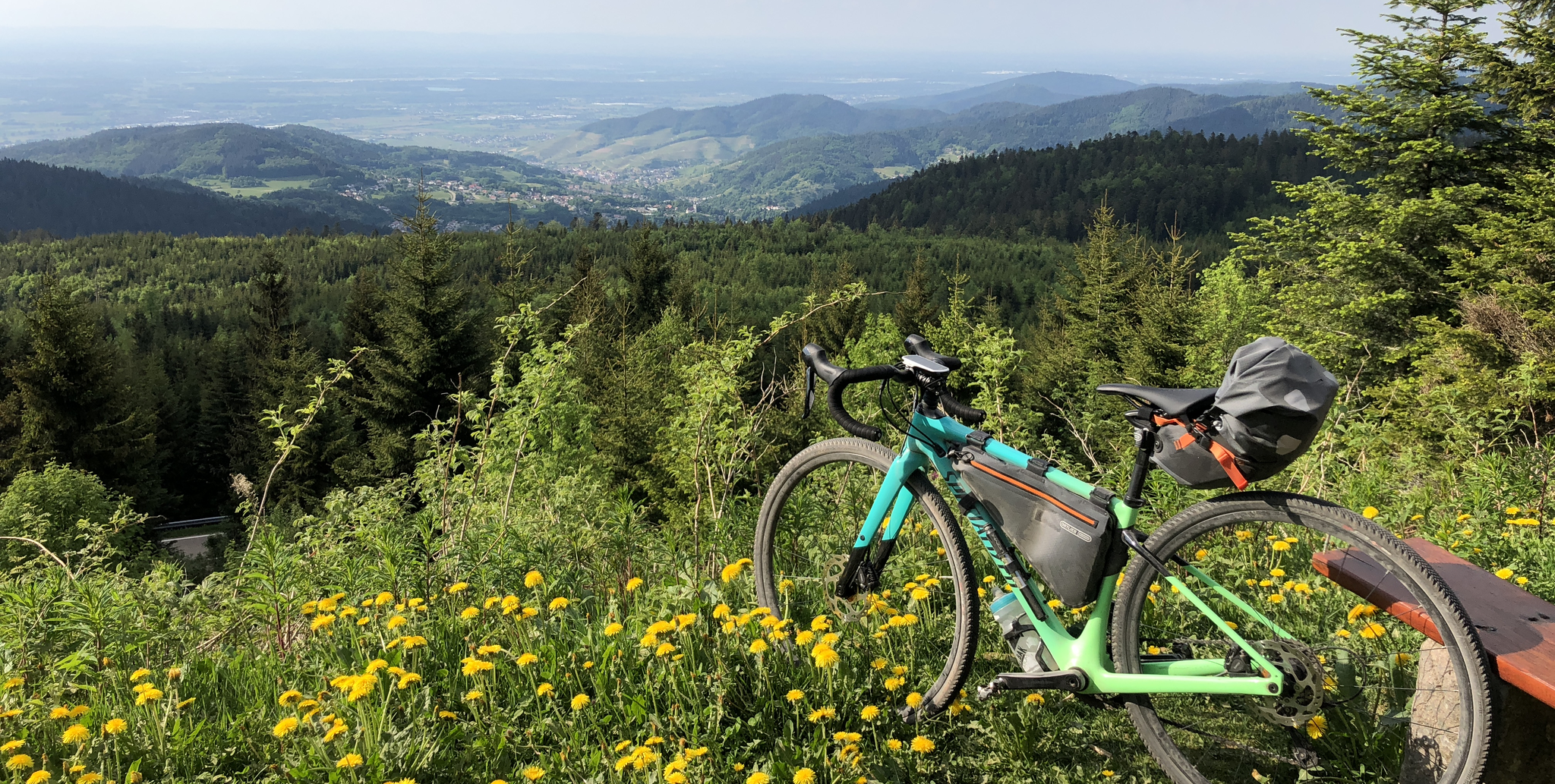
A bikepacking adventure for beginners – Black Forest Cycle Route in Germany
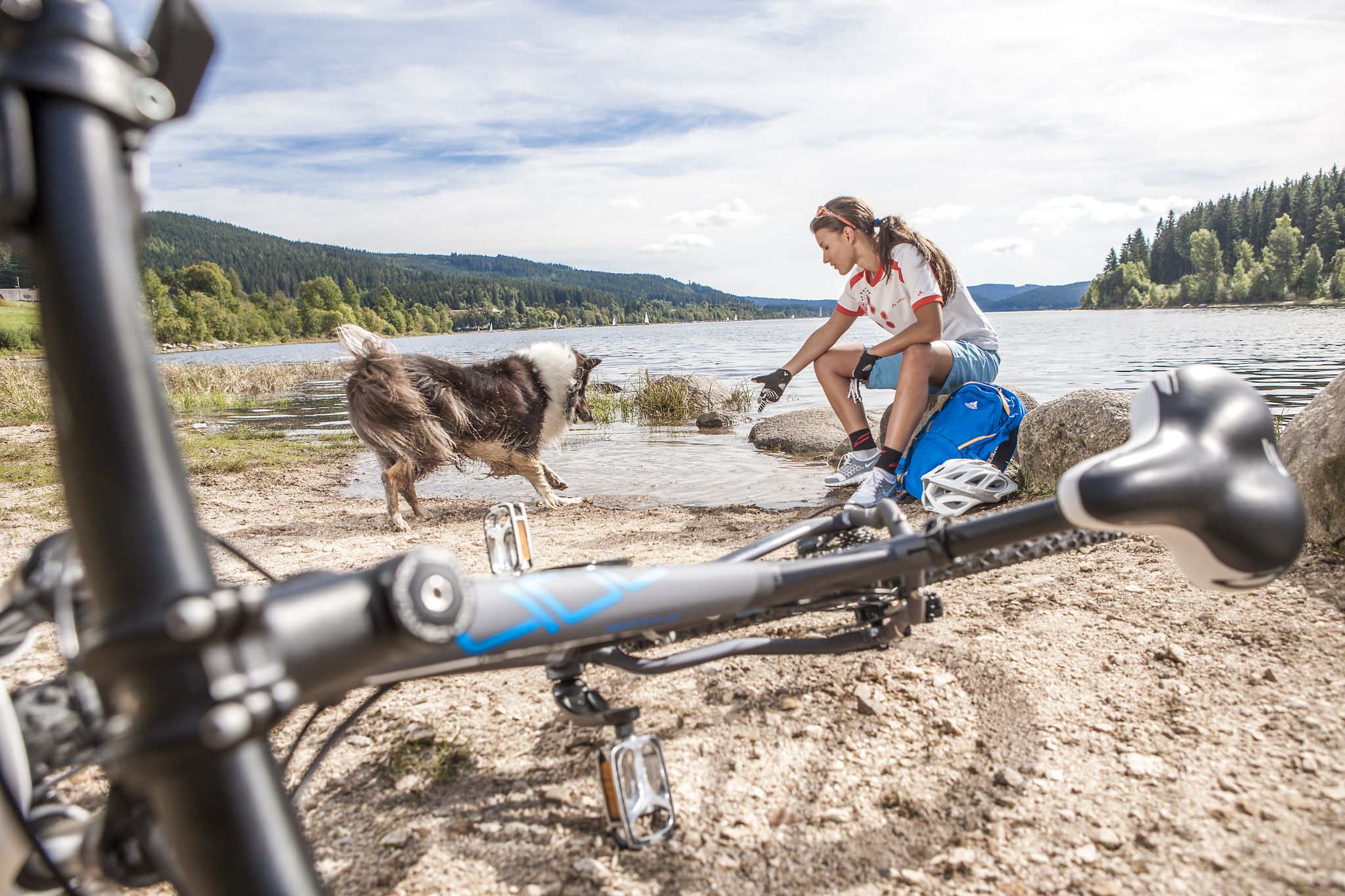
Panoramas, trails and lake hopping – biking in the Black Forest
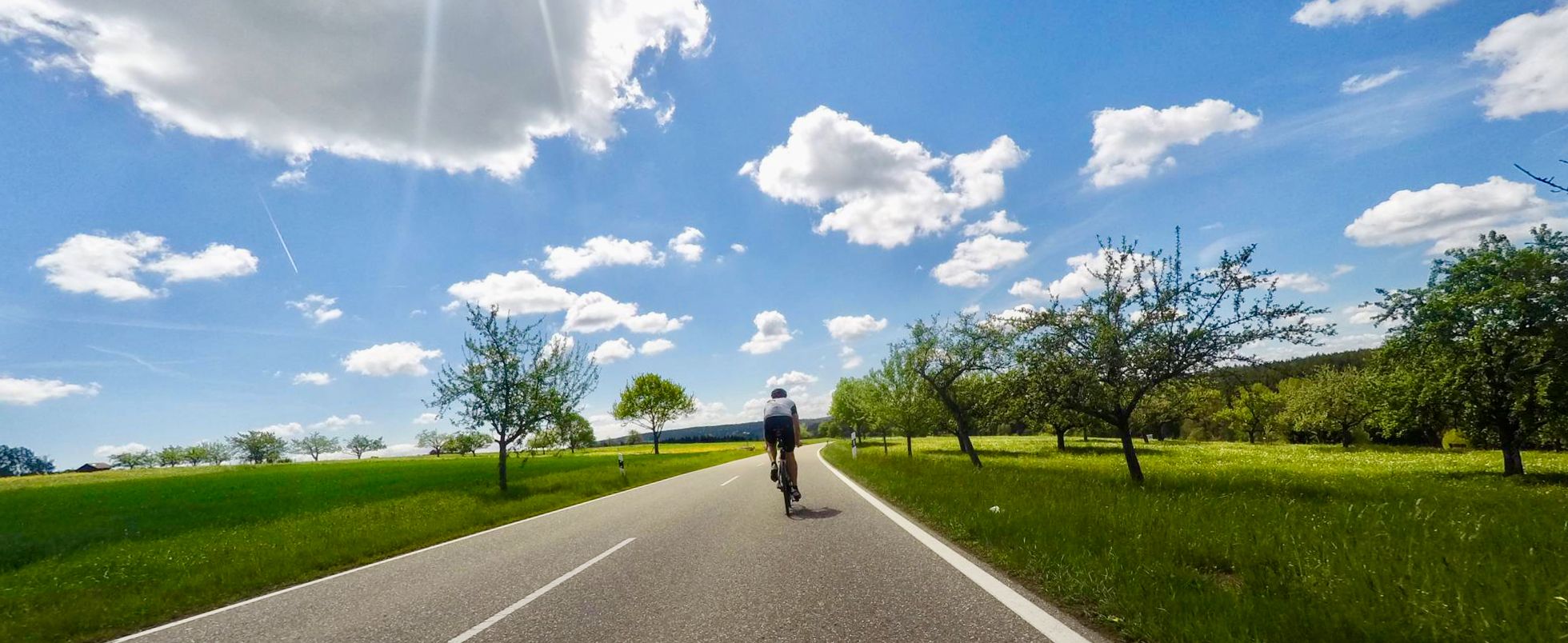
Secluded valleys & dramatic passes – best of Black Forest road cycling
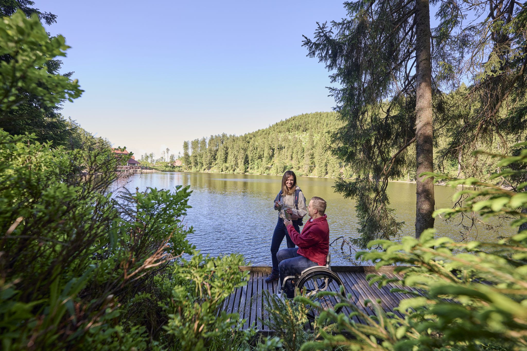
Barrierefreie Wege im Schwarzwald
Blütenzauber – Frühlings-Graveln im Schwarzwald
Other adventures around Furtwangen


Tips from the Community

the watershed between the Danube and the Rhine
0
0
short break at the Martinskapelle
0
0

The Martinskapelle is located on an old pass road between the Breg and Elz springs, at the height of the Danube-Rhine watershed. The origin of the chapel dates back to pre-Carolingian times. Excavation findings suggest that a sacred building already stood here around 800. Perhaps the road from Furtwangen to the pass summit was already an old La Tène road and there were connections between Celtic and early Christian culture here.
0
0
Furtwangen's local mountain, the Brend, at 1149 m above sea level, is the highest elevation in the city and at the same time the second highest mountain in the Schwarzwald-Baar district. From its observation tower, built in 1905 and extended to 15 meters in 1983, one can enjoy views of the Rhine plain, the Black Forest and Vosges peaks, as well as the Swabian Jura and the Swiss Alps when visibility is good.
0
0
The European watershed at Martinskapelle near Furtwangen in the Black Forest separates the catchment area of the North Sea (via the Rhine) from that of the Black Sea (via the Danube) at an altitude of around 1,085 meters. Course of the watershed Rhine catchment area (northwestern side): The Elz rises here, which ultimately flows into the North Sea via the Rhine. Danube catchment area (southeastern side): Only about 100 meters from the watershed lies the Breg spring. The Breg is considered the longest source river of the Danube, whose waters flow into the Black Sea. The separation: A ridge only a few meters wide decides here whether a water droplet begins its journey west to the Rhine or east to the Danube.
0
0
Furtwangen's local mountain, the Brend, with a height of 1149 m above sea level, is the highest elevation in the city and, at the same time, the second-highest mountain in the Schwarzwald-Baar district. From its observation tower, built in 1905 and extended to 15 meters in 1983, one can enjoy, with good visibility, not only the view of the Rhine plain, the Black Forest and Vosges peaks, but also the Swabian Jura and the Swiss Alps.
0
0

old beautiful forest hut overgrown with moss
0
0

As an inn unfortunately permanently closed.
0
0
Frequently Asked Questions
How many easy hiking trails are available around Furtwangen im Schwarzwald?
There are over 120 easy hiking trails in the Furtwangen im Schwarzwald region, offering a wide variety of options for all fitness levels. In total, the area boasts over 250 hiking routes.
What kind of terrain can I expect on easy hikes in Furtwangen?
Easy hikes in Furtwangen im Schwarzwald feature diverse natural landscapes, including dense forests, clear streams, and rolling hills. You'll find paths through deeply incised valleys and past striking rock formations like the Günterfelsen. The region is part of the Southern Black Forest Nature Park, ensuring unspoiled natural beauty.
Are there any family-friendly easy hikes in Furtwangen?
Yes, Furtwangen offers several family-friendly easy hikes. The region is known for trails like the Figure trail Neukirch and the Animal nature trail Neukirch, which are specifically designed to engage children with wooden animal figures and information about local flora and fauna. These trails provide an enjoyable and educational experience for families.
Are there accessible easy hiking trails in Furtwangen?
Yes, an excellent accessible option is the Barrierefreie Rundwanderung um Neukirch. This 2.0 km trail is designed to be suitable for various fitness levels, including those requiring easier access.
What natural landmarks or viewpoints can I see on easy hikes?
Many easy hikes will lead you to notable natural features. You can explore the area around the Breg source, one of the Danube's headwaters, and the striking Günterfelsen rock formations. The Brend Tower also offers expansive views over the Black Forest Highlands and is often accessible via easy routes.
Are there circular easy hiking routes in Furtwangen?
Yes, many easy trails in Furtwangen are designed as circular routes. For example, the St. Martin's Chapel, Furtwangen – Günterfelsen loop from Bregquelle is an easy 6.1 km circular path that explores the Breg source and Günterfelsen. Another option is the Brend Naturefriends House – Günterfelsen loop from Bregquelle, a 4.2 km trail through forested areas.
What do other hikers enjoy most about easy trails in Furtwangen?
The easy trails in Furtwangen im Schwarzwald are highly rated by the komoot community, with an average score of 4.6 stars from over 8,700 reviews. Hikers often praise the well-maintained paths, the immersive experience of dense forests and clear streams, and the stunning views over the Black Forest Highlands.
Can I find easy hikes that include a visit to the Brend Tower?
Yes, you can find easy hikes that incorporate the Brend Tower. The Brend Tower – Günterfelsen loop from Bregquelle is an easy 5.6 km route that allows you to enjoy the tower's panoramic views.
Are there any easy hikes that start near the Breg source?
Absolutely. Furtwangen is uniquely located on the European watershed, and the source of the Breg is a significant natural attraction. Several easy hikes, such as the St. Martin's Chapel, Furtwangen – Günterfelsen loop from Bregquelle, begin near the Breg source, allowing you to explore this interesting geographical point.
Are there places to stop for refreshments or a break on easy trails?
Yes, some routes pass by facilities where you can take a break. For instance, the Schwedenschanze Inn and the Brunnenhof Rest Area and Refreshment Stand are highlights in the area that might be accessible from various easy trails, offering opportunities for a stop.
What is the 'Heilklima-Steig' and are there easy sections?
The 'Heilklima-Steig' (High-Altitude Climate Trail) is a premium hiking trail known for its health benefits, offering forest bathing and panoramic views. While it has options for varying gradients, there are sections with easy gradients, making it accessible for those seeking a less strenuous experience while enjoying its unique atmosphere.
Are there any easy hikes that offer forest bathing experiences?
Yes, the Furtwangen region, with its dense forests, is ideal for forest bathing. The 'Heilklima-Steig' is specifically noted for offering this experience, providing a tranquil environment to immerse yourself in nature and enjoy the health benefits of the forest.
Most popular routes around Furtwangen
Most popular attractions around Furtwangen

Get inspired with the komoot mobile app


Explore more
Browse the best Hikes in other regions.
