Easy hikes and walks around Gschwend
4.6
(5786)
18,692
hikers
146
hikes
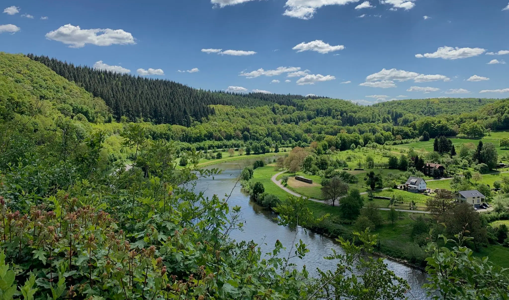
Easy hiking trails around Gschwend traverse a landscape characterized by rolling hills and verdant forests within the Swabian-Franconian Forest Nature Park. The region features diverse natural attractions, including waterfalls, gorges, and unique rock formations. Hikers can explore quiet paths through woodlands and discover routes highlighting the area's natural monuments. The terrain offers varied elevation changes suitable for easy excursions.
Best easy hiking trails around Gschwend
- The most popular easy hiking route is Table of Peace – Devil's Pulpit loop from…
Last updated: June 30, 2026
4.9
(18)
75
hikers
7.29km
01:59
110m
110m
Easy hike. Great for any fitness level. Easily-accessible paths. Suitable for all skill levels.
4.5
(8)
35
hikers
Easy hike. Great for any fitness level. Easily-accessible paths. Suitable for all skill levels.

Sign up for free
4.2
(5)
18
hikers
7.16km
01:58
110m
110m
Easy hike. Great for any fitness level. Easily-accessible paths. Suitable for all skill levels.
4.0
(8)
31
hikers
6.02km
01:42
130m
130m
Easy hike. Great for any fitness level. Easily-accessible paths. Suitable for all skill levels.
3.7
(9)
30
hikers
6.25km
01:47
140m
140m
Easy hike. Great for any fitness level. Easily-accessible paths. Suitable for all skill levels.
Get access to more routes and recommendations from other explorers.
Sign up for free
Already have an account?
Our route recommendations are based on thousands of hikes, rides, and runs completed by other people on komoot.
Start today with a free account
Your next adventure awaits.
Login or Signup
Popular around Gschwend
Other adventures around Gschwend

Tips from the Community


A 16-meter-long table carved from a single Douglas fir trunk. A place for gathering – and a reminder of how precious peace is.
0
0

Nice cold beer. Nice people. You immediately connect. Great.
0
0


A beautiful, idyllic lake with a kiosk. It's always a good place for a quick rest.
0
0

Interesting installations. The Table of Peace and the others are very interesting.
0
0

Frequently Asked Questions
How many easy hiking trails are available around Gschwend?
Gschwend offers a wide selection of easy hiking trails, with over 90 routes specifically categorized as easy. In total, there are more than 140 hiking routes in the area, catering to various preferences within the Swabian-Franconian Forest Nature Park.
Are there easy hiking trails suitable for families with children or prams?
Yes, many of the easy hiking trails around Gschwend are suitable for families. The region's paths often traverse quiet woodlands and rolling hills, providing accessible and enjoyable experiences. For example, the Kreuzstein near Gschwend – Fairy Tale Forest Tännli loop from Gschwend is a gentle 4-mile path through forested areas that families often enjoy.
Can I bring my dog on the easy hiking trails in Gschwend?
Most easy hiking trails in Gschwend are dog-friendly, allowing you to explore the natural beauty with your canine companion. It's always recommended to keep dogs on a leash, especially in nature reserve areas or when passing through agricultural land, to protect wildlife and ensure a pleasant experience for everyone.
Are there any easy circular walks in Gschwend?
Yes, Gschwend is well-suited for circular walks, with many easy routes designed to start and end at the same point. The Table of Peace – Devil's Pulpit loop from Frickenhofen is a popular 4.5-mile circular trail that offers scenic views and takes you past unique rock formations.
What kind of natural attractions can I see on easy hikes around Gschwend?
Easy hikes around Gschwend offer diverse natural attractions. You can discover impressive waterfalls like the Rear and Front Hörschbach Waterfalls, explore unique rock formations such as Teufelsküche and Teufelskanzel, and wander through the serene Strümpfelbach Valley Nature Reserve. The Table of Peace – Devil's Pulpit loop from Frickenhofen is a great option to see the Teufelskanzel rock formations.
Are there any viewpoints or towers accessible on easy trails?
Yes, you can reach scenic viewpoints on easy trails. The Highland Cattle at Haghof – Hagberg summit cross loop from Hagberg is an easy route that can lead you towards the Hagbergturm, offering expansive vistas of the Walzheim Forest and surrounding landscapes. Another route, the Durchblick 1 Viewing Window – Table of Peace loop from Frickenhofen, provides scenic viewpoints through rolling hills.
What do other hikers enjoy most about the easy trails in Gschwend?
The easy trails in Gschwend are highly rated by the komoot community, with an average score of 4.6 stars from over 5,000 reviews. Hikers often praise the quiet paths through verdant forests, the unique rock formations, and the well-maintained routes that make for accessible and enjoyable excursions.
Are there any historical or cultural landmarks to explore near the easy hiking routes?
Yes, Gschwend's surroundings feature several historical and cultural landmarks. You can find historic mills along dedicated routes, and the region also has castles such as Leinzell Castle and Schloss Hohenstadt. The Strümpfelbach Valley Nature Reserve also features a historical water pumping system.
Is parking available near the easy hiking trailheads in Gschwend?
Yes, parking is generally available near the trailheads for easy hikes in Gschwend. Many routes, especially those starting from villages like Frickenhofen or Gschwend itself, offer designated parking areas to facilitate access to the trails.
Can I reach the easy hiking trails in Gschwend using public transport?
While Gschwend is primarily accessed by car, some trailheads may be reachable via local bus services. It's advisable to check local public transport schedules in advance for specific routes and starting points to plan your journey effectively.
What is the best season for easy hiking in Gschwend?
The best seasons for easy hiking in Gschwend are typically spring, summer, and autumn. During these months, the weather is generally mild, and the forests are lush or display vibrant autumn colors. Winter can also offer beautiful snowy landscapes, but some paths might be slippery or less accessible.
Are there any less crowded easy hiking trails in Gschwend?
While popular routes like the Table of Peace – Devil's Pulpit loop can see more visitors, Gschwend's extensive network of over 90 easy trails means you can often find quieter paths. Exploring routes slightly off the main highlights or hiking during weekdays can lead to a more serene experience.
Most popular routes around Gschwend
Most popular attractions around Gschwend

Get inspired with the komoot mobile app


Explore more
Browse the best Hikes in other regions.
