Easy hikes and walks around Verwaltungskreis Thun
4.6
(2946)
21,559
hikers
872
hikes
Easy hiking trails around Verwaltungskreis Thun are characterized by the expansive Lake Thun, framed by a diverse alpine backdrop. The region features a mix of lakeside paths, forested areas, and open meadows, with views of prominent mountains like Niesen and Stockhorn. The terrain includes gentle ascents and descents, making it suitable for various fitness levels. Valleys such as the Zulg Valley offer scenic river trails, while the Gantrisch region provides lush alpine landscapes.
Best easy hiking trails around Verwaltungskreis Thun
…Last updated: September 27, 2026
4.6
(41)
229
hikers
5.72km
01:35
100m
100m
Easy hike. Great for any fitness level. Easily-accessible paths. Suitable for all skill levels.
4.8
(14)
249
hikers
Easy hike. Great for any fitness level. Easily-accessible paths. Suitable for all skill levels.

4.4
(15)
67
hikers
5.47km
01:34
140m
140m
Easy hike. Great for any fitness level. Easily-accessible paths. Suitable for all skill levels.
4.8
(19)
87
hikers
5.50km
01:37
170m
170m
Easy hike. Great for any fitness level. Easily-accessible paths. Suitable for all skill levels.
4.3
(12)
60
hikers
Easy hike. Great for any fitness level. Easily-accessible paths. Suitable for all skill levels.
4.0
(3)
22
hikers
5.71km
01:47
220m
210m
Easy hike. Great for any fitness level. Easily-accessible paths. Suitable for all skill levels.
4.5
(6)
64
hikers
3.99km
01:29
250m
250m
Easy hike. Great for any fitness level. Easily-accessible paths. Suitable for all skill levels.
4.8
(9)
95
hikers
5.03km
01:20
50m
50m
Easy hike. Great for any fitness level. Easily-accessible paths. Suitable for all skill levels.
4.9
(9)
19
hikers
4.73km
01:28
170m
170m
Easy hike. Great for any fitness level. Easily-accessible paths. Suitable for all skill levels.
4.6
(13)
35
hikers
5.16km
01:36
180m
180m
Easy hike. Great for any fitness level. Easily-accessible paths. Suitable for all skill levels.
Get access to more routes and recommendations from other explorers.
Already have an account?
Our route recommendations are based on thousands of hikes, rides, and runs completed by other people on komoot.
Start today with a free account
Your next adventure awaits.
Popular around Verwaltungskreis Thun
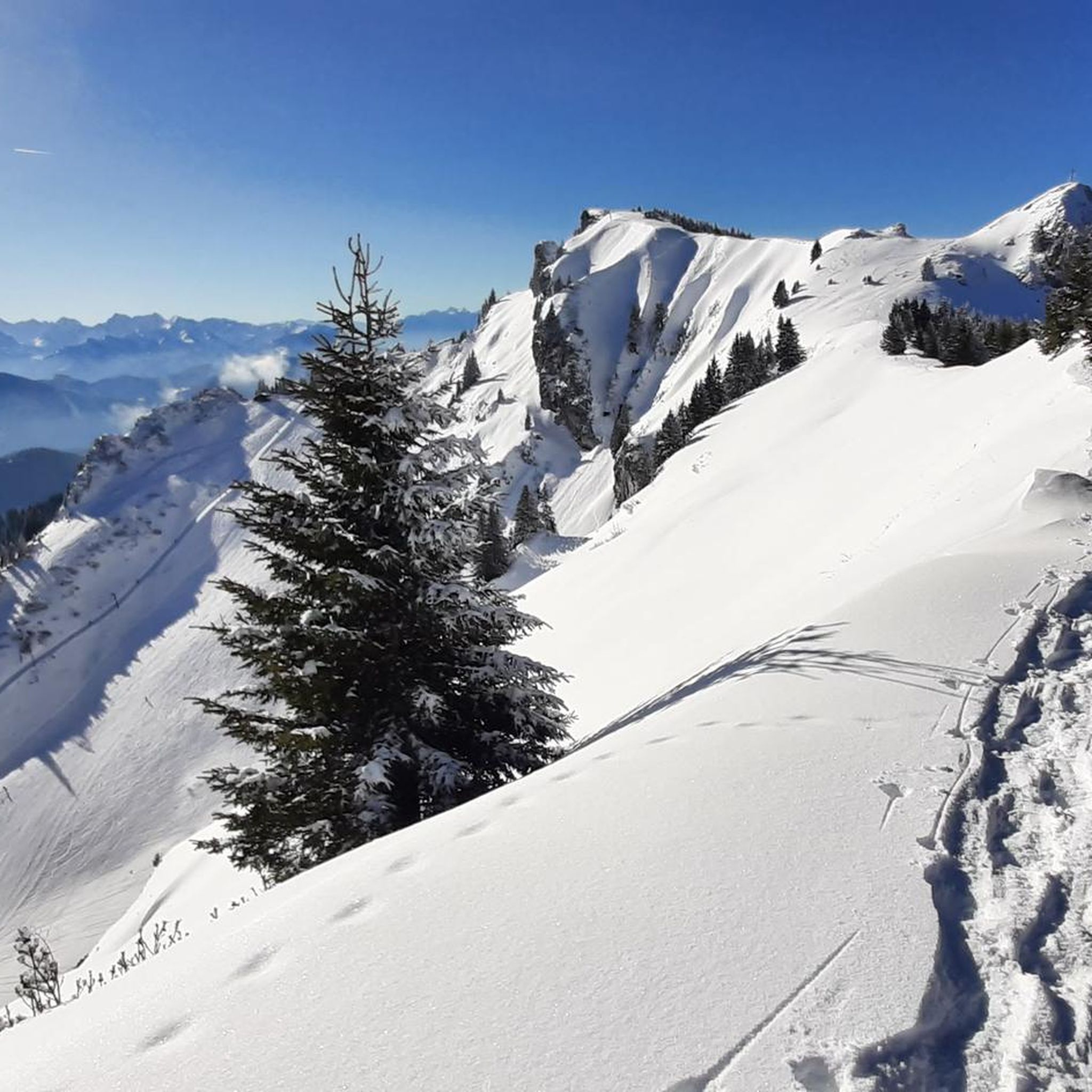
Easy hikes around Thunersee
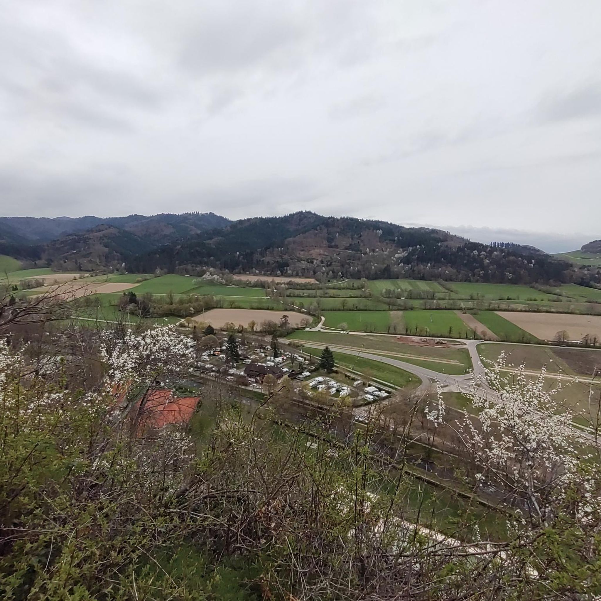
Easy hikes around Homberg
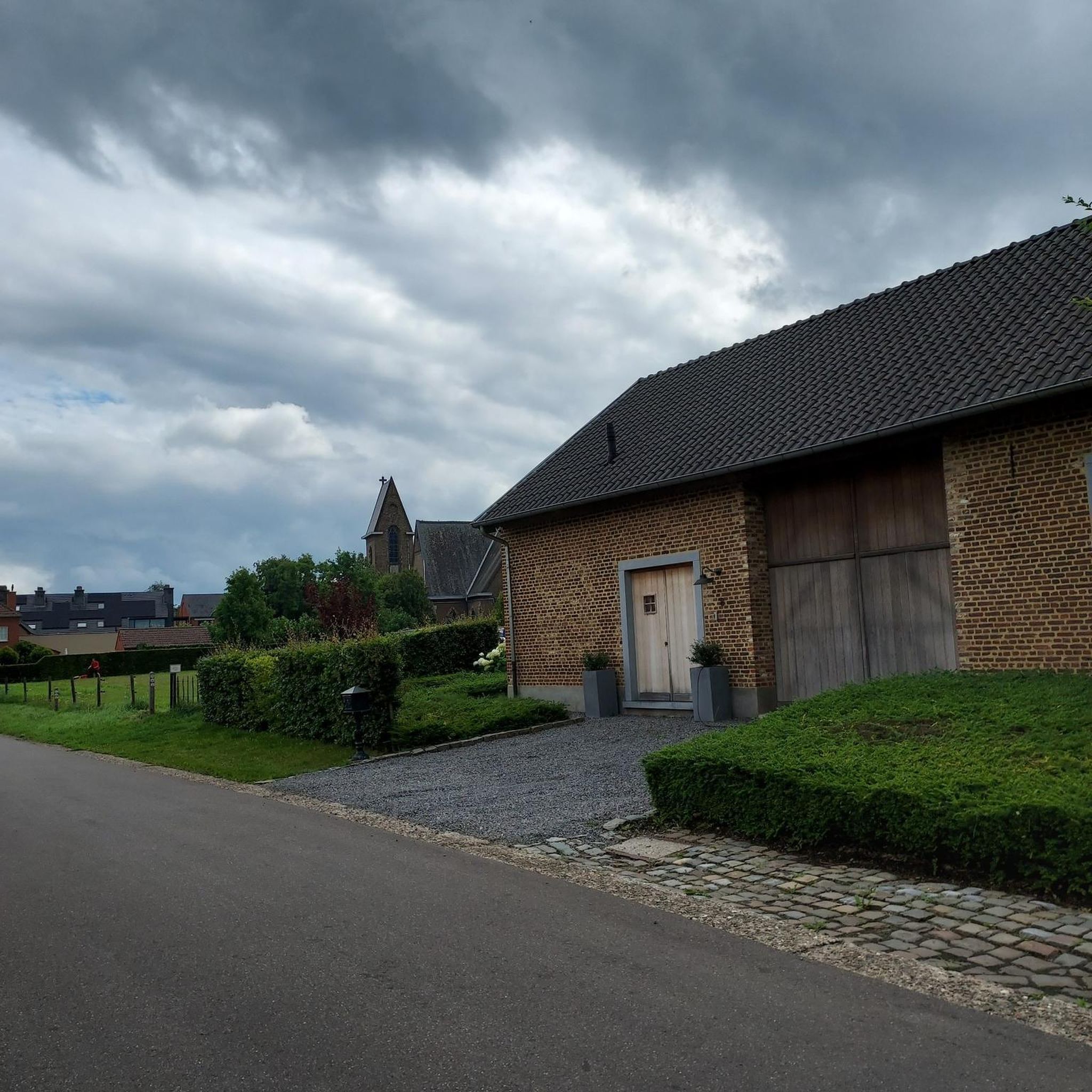
Easy hikes around Übeschisee
Easy hikes around Amsoldingersee
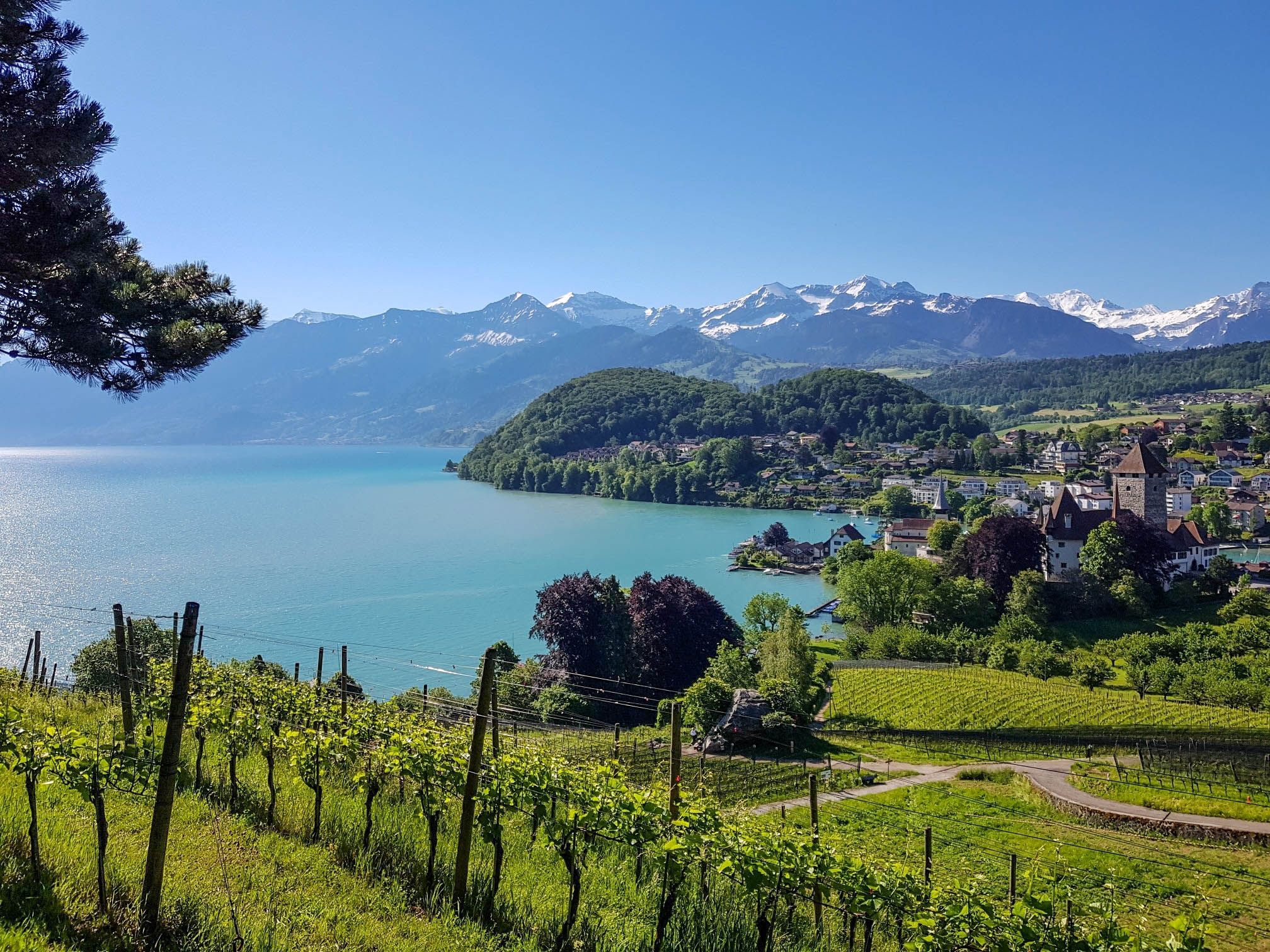
Panoramic circular trail around Switzerland's Lake Thun – Lake views at every turn

Mighty peaks and turquoise lakes – hiking in Interlaken in Switzerland
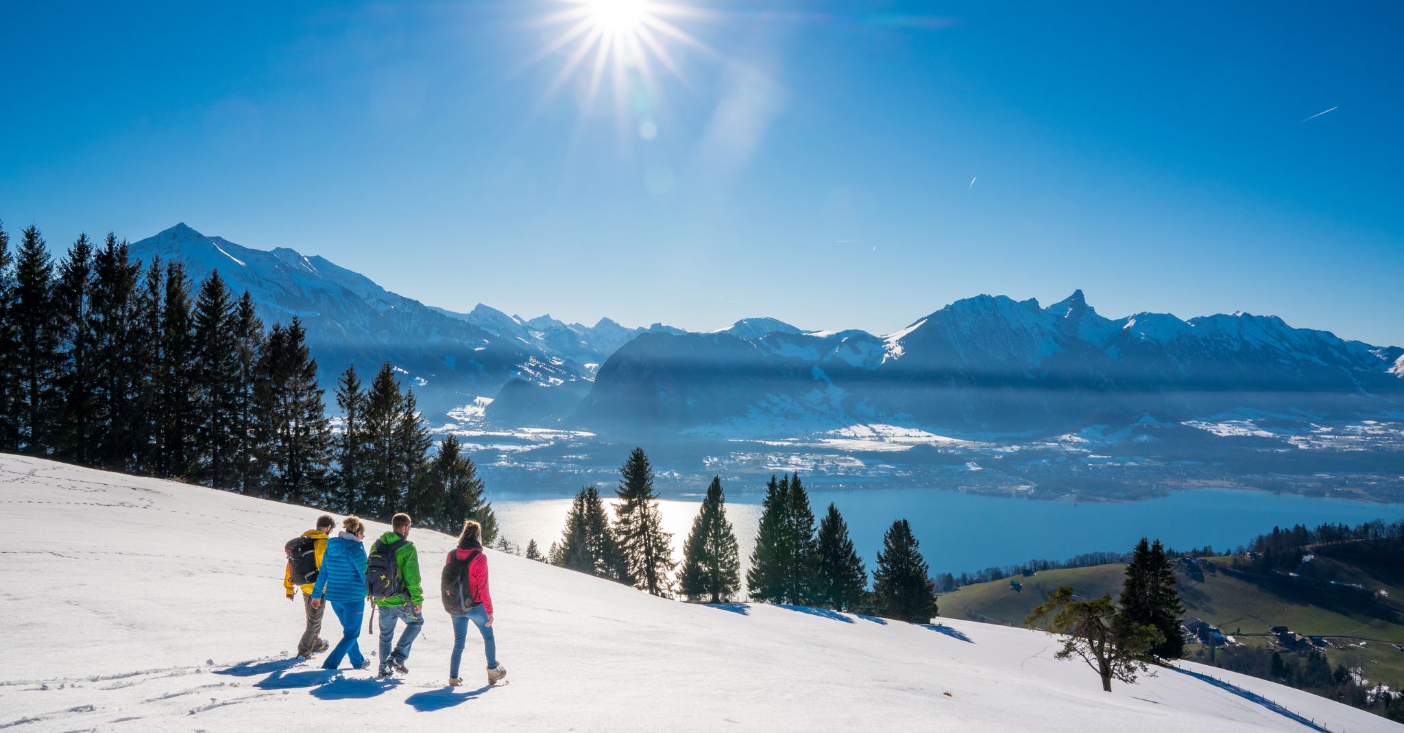
Let it snow! Winter hikes in the Bernese Oberland
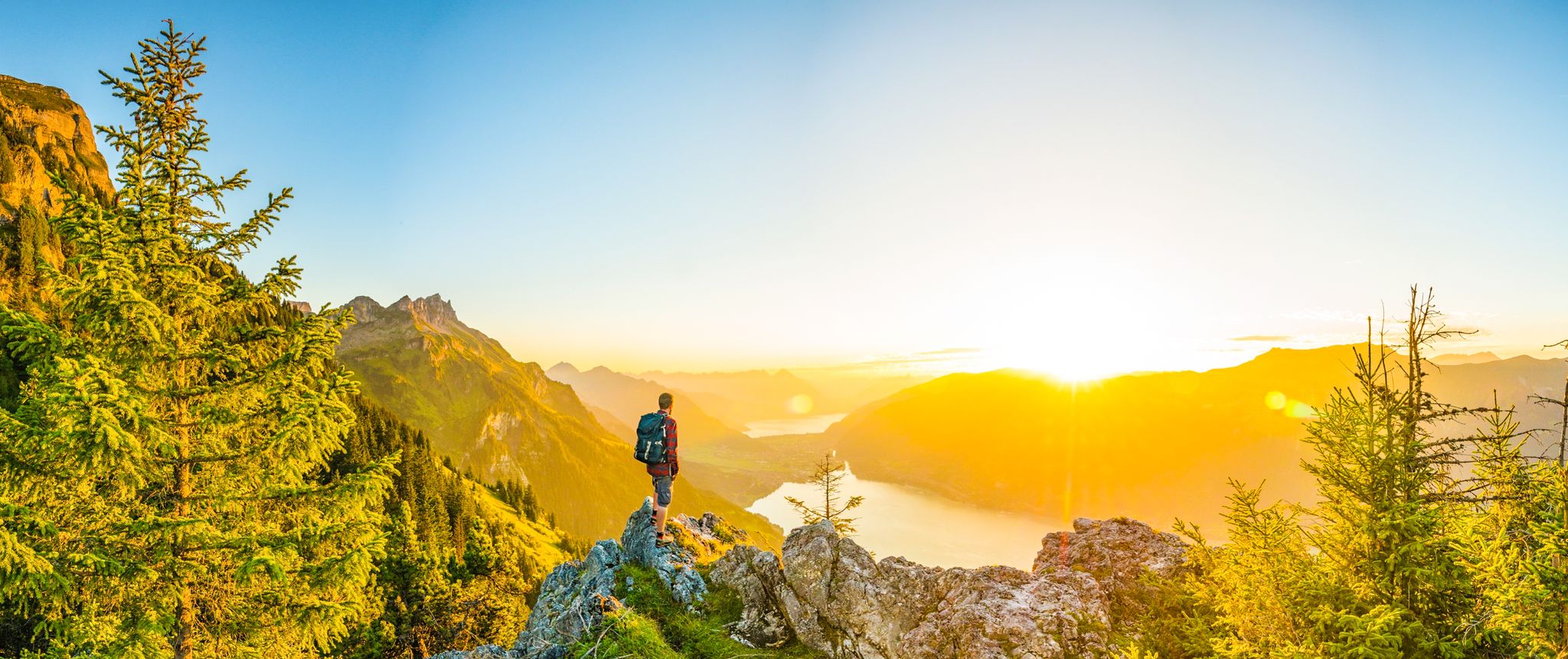
Magnificent Bernese Oberland – Hiking around Interlaken
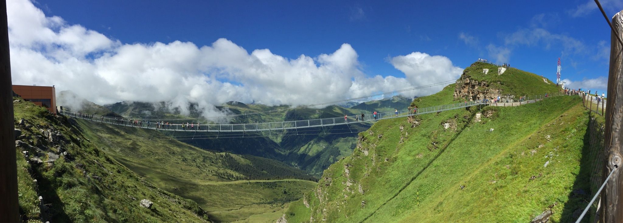
Spectacular suspension bridges
Alpine Panorama Route — 8 stages through the foothills of the Alps
Other adventures around Verwaltungskreis Thun


Tips from the Community

The road is idyllic, partly a tree-lined avenue on one or even both sides of the road.
0
0

From Amsoldingen you can see the Eiger, Mönch and Jungfrau.
0
0
Swimming in the Uebischisee is only allowed for the local population.
0
0

The Wachseldornmoos is a protected raised bog above Heimenschwand – a quiet, mystical place with a primeval moor landscape, rare plants and a peaceful atmosphere 🌾🪻. Highlights: ✅ Untouched nature & typical raised bog vegetation ✅ Beautiful circular trail (approx. 1.5–2 km) Accessibility: Reachable from Heimenschwand or Wachseldorn in approx. 30–45 minutes on foot – also easily combined with a bike (e.g. on tours towards Aeschlenalp or Falkenfluh 🚴♀️).
0
0

The trail is finished. It was left relatively natural, which I think is great! So you ride over roots and such. Well done, thanks!
0
0

As of October 2025, the trail is still partially under construction. A nature-oriented trail.
0
0
The Wachseldornmoos is a protected raised bog above Heimenschwand – a quiet, mystical place with a rustic moor landscape, rare plants, and a peaceful atmosphere. Highlights: ✅ Untouched nature & typical raised bog vegetation ✅ Beautiful circular trail (approx. 1.5–2 km) Accessibility: Can be reached on foot from Heimenschwand or Wachseldorn in approx. 30–45 minutes – also easily combined with a bike (e.g., on tours towards Aeschlenalp or Falkenfluh).
0
0

View of the 7 Stallions, the Burst and Bluemhorn
0
0
Frequently Asked Questions
How many easy hiking trails are available in Verwaltungskreis Thun?
Verwaltungskreis Thun offers a wide selection of easy hiking trails, with over 465 routes suitable for various fitness levels. These trails feature gentle ascents and descents through diverse landscapes.
What kind of terrain can I expect on easy hikes around Verwaltungskreis Thun?
Easy hikes in Verwaltungskreis Thun typically feature a mix of lakeside paths, forested areas, and open meadows. You'll find gentle ascents and descents, with many routes offering flat sections, especially along Lake Thun. The region is characterized by its stunning natural beauty, including views of prominent mountains like Niesen and Stockhorn.
Are there easy circular hiking routes in Verwaltungskreis Thun?
Yes, many easy hiking trails in Verwaltungskreis Thun are circular, allowing you to start and end at the same point. An example is the Wachseldornmoos – Schibistei Parking Lot loop from Buchholterberg, which offers a pleasant 5.7 km walk through varied landscapes.
Which easy trails offer views of Lake Thun?
Several easy trails provide beautiful views of Lake Thun. The Sigriswil Church – View of Lake Thun loop from Sigriswil is a popular choice, leading through village surroundings with picturesque lake vistas. Another option is the View of the Bernese Alps – View of Lake Thun loop from Fahrni, offering both lake and mountain panoramas.
Are there any easy hikes that pass by notable landmarks or attractions?
Yes, you can combine easy hikes with visits to local attractions. For instance, the Grabenmühle Sigriswil – Sigriswil Suspension Bridge loop from Sigriswil takes you near the impressive Sigriswil Suspension Bridge. You can also find trails that offer views of the historic castles around Lake Thun, such as Thun Castle or Oberhofen Castle.
What do other hikers enjoy most about the easy trails in Verwaltungskreis Thun?
The easy trails in Verwaltungskreis Thun are highly rated by the komoot community, with an average score of 4.6 stars from over 2,300 reviews. Hikers often praise the stunning lake and mountain views, the well-maintained paths, and the peaceful atmosphere, making them ideal for relaxed outings.
Are there easy trails suitable for families with children?
Many easy trails in Verwaltungskreis Thun are family-friendly, featuring gentle gradients and scenic surroundings. The Bonstetten Park – Lake Thun at Bostettenpark loop from Zwieselberg is an excellent option, offering a flat 4.9 km path along the lake, perfect for a relaxed walk with children.
Can I find easy hikes with mountain views, such as Niesen or the Bernese Alps?
Absolutely. The region is famous for its alpine backdrop. The View of Niesen from Egg – Egg (1172 m) loop from Homberg provides direct views of the iconic Niesen Mountain. Many other trails, especially those slightly elevated from the lake, offer panoramic vistas of the Bernese Alps, including the Eiger, Mönch, and Jungfrau.
Are there any easy trails that lead to an observation tower?
Yes, you can find easy routes that include observation towers for enhanced panoramic views. The View of Lake Thun – Blueme Observation Tower loop from Heiligenschwendi is a great example, leading to the Blueme Observation Tower, which offers spectacular views of Lake Thun and the surrounding landscape.
What is the best time of year for easy hikes in Verwaltungskreis Thun?
The best time for easy hikes in Verwaltungskreis Thun is generally from spring through autumn (April to October). During these months, the weather is pleasant, the landscapes are lush, and most trails are easily accessible. Summer offers warm temperatures perfect for lakeside strolls, while spring and autumn provide vibrant colors and fewer crowds.
Are there easy trails that explore valleys or gorges?
While many easy trails focus on the lake and mountain views, the region also features scenic valleys. The Zulg Valley, for example, offers trails alongside the Zulg River, showcasing lush fields and quaint villages. For a more dramatic natural feature, the Choleren Gorge near Hünibach features impressive waterfalls and pools, though specific easy trails directly through it might be more challenging.
Are there easy trails that are suitable for dog walking?
Many easy hiking trails in Verwaltungskreis Thun are suitable for dogs, especially those through forests, meadows, and along the lake. It's always recommended to keep dogs on a leash, especially in nature reserves or areas with livestock, and to check local regulations for specific routes. The varied terrain and open spaces provide plenty of opportunities for enjoyable walks with your canine companion.
Most popular routes around Verwaltungskreis Thun
Most popular attractions around Verwaltungskreis Thun

Get inspired with the komoot mobile app


Didn’t find what you were looking for?
Check out more Hikes throughout Verwaltungskreis Thun below and find the perfect route in your destination.
