Easy hikes and walks around Zöblen
4.6
(63448)
289,241
hikers
38
hikes
Easy hiking trails around Zöblen are set within the Tannheimer Valley, an alpine region characterized by its mountain landscapes and diverse natural features. The area features gentle alpine meadows, the Vils River, and smaller bodies of water like Greiter Pond. Trails often lead through valleys and offer views of the surrounding Tannheim Mountains, with elevations generally under 200 meters for easy routes.
Best easy hiking trails around Zöblen
- The most popular easy hiking route is Descent Into the Allgäu Valley…
Last updated: October 3, 2026
4.7
(27)
164
hikers
4.16km
01:20
190m
190m
Easy hike. Great for any fitness level. Easily-accessible paths. Suitable for all skill levels.
4.6
(20)
63
hikers
3.41km
01:03
130m
120m
Easy hike. Great for any fitness level. Easily-accessible paths. Suitable for all skill levels.

4.7
(47)
154
hikers
6.78km
01:56
150m
150m
Easy hike. Great for any fitness level. Easily-accessible paths. Suitable for all skill levels.
4.3
(6)
50
hikers
5.17km
01:35
160m
160m
Easy hike. Great for any fitness level. Easily-accessible paths. Suitable for all skill levels.
5.0
(2)
23
hikers
Easy hike. Great for any fitness level. Easily-accessible paths. Suitable for all skill levels.
Get access to more routes and recommendations from other explorers.
Already have an account?
Our route recommendations are based on thousands of hikes, rides, and runs completed by other people on komoot.
Start today with a free account
Your next adventure awaits.
Other adventures around Zöblen


Tips from the Community

A nice place at the descent.
0
0
I wasn't sure if it's a pub pool. Not to drink for safety.
0
0
many beautiful views here
0
0

The Mühlwald trails offer varied riding fun for different skill levels. On three approximately 500-meter-long routes, you'll find everything a mountain biker's heart desires, from flowing corners and berms to technical sections with roots, steps, and drops. While the Pontenline, with its smooth course layout, is ideal for rolling and having fun, the Zirleseckline and especially the Rohnenline demand more riding technique with more challenging obstacles and tighter corners. Since all three trails start at the same point and merge again at the end, beginners and experienced bikers can easily ride together without any problems. The trails can be ridden with a normal mountain bike, which can also be rented from sports shops in the Tannheimer Tal. Full mountain bike protective gear is recommended for the more technical sections. Wearing a helmet is mandatory.
0
0

Great for young and old with a dog
0
0

Drinking water fountain at the Schattwald bus stop
0
0

Not bad for practicing. The Rhonenline is 👌🏼
0
0

Whether hiking or cycling, you need to drink plenty of fluids, especially when the sun is shining. Here you can quench your thirst and replenish your energy reserves.
0
0
Frequently Asked Questions
How many easy hiking trails are available around Zöblen?
Zöblen offers a good selection of easy hiking trails, with 15 routes specifically categorized as easy. In total, there are 38 hiking routes in the area, catering to various skill levels.
What kind of terrain and elevation can I expect on easy hikes in Zöblen?
Easy hikes in Zöblen typically feature gentle alpine meadows and paths along the Vils River. While you'll enjoy views of the surrounding Tannheim Mountains, the elevation gain on these routes is generally under 200 meters, making them accessible and comfortable for most hikers.
Are there any easy circular routes in Zöblen?
Yes, Zöblen has several easy circular routes. For example, the Descent Into the Allgäu Valley – Zugspitze View Mountain Inn loop from Zöblen is a popular 4.2 km option, and the Zugspitze View Mountain Inn – Zugspitzblick Restaurant loop from Zöblen is a shorter 3.2 km path. The Vils River Waterfall – View of Zöblen loop from Zöblen also offers a scenic circular experience.
Are there any waterfalls or lakes accessible on easy trails in Zöblen?
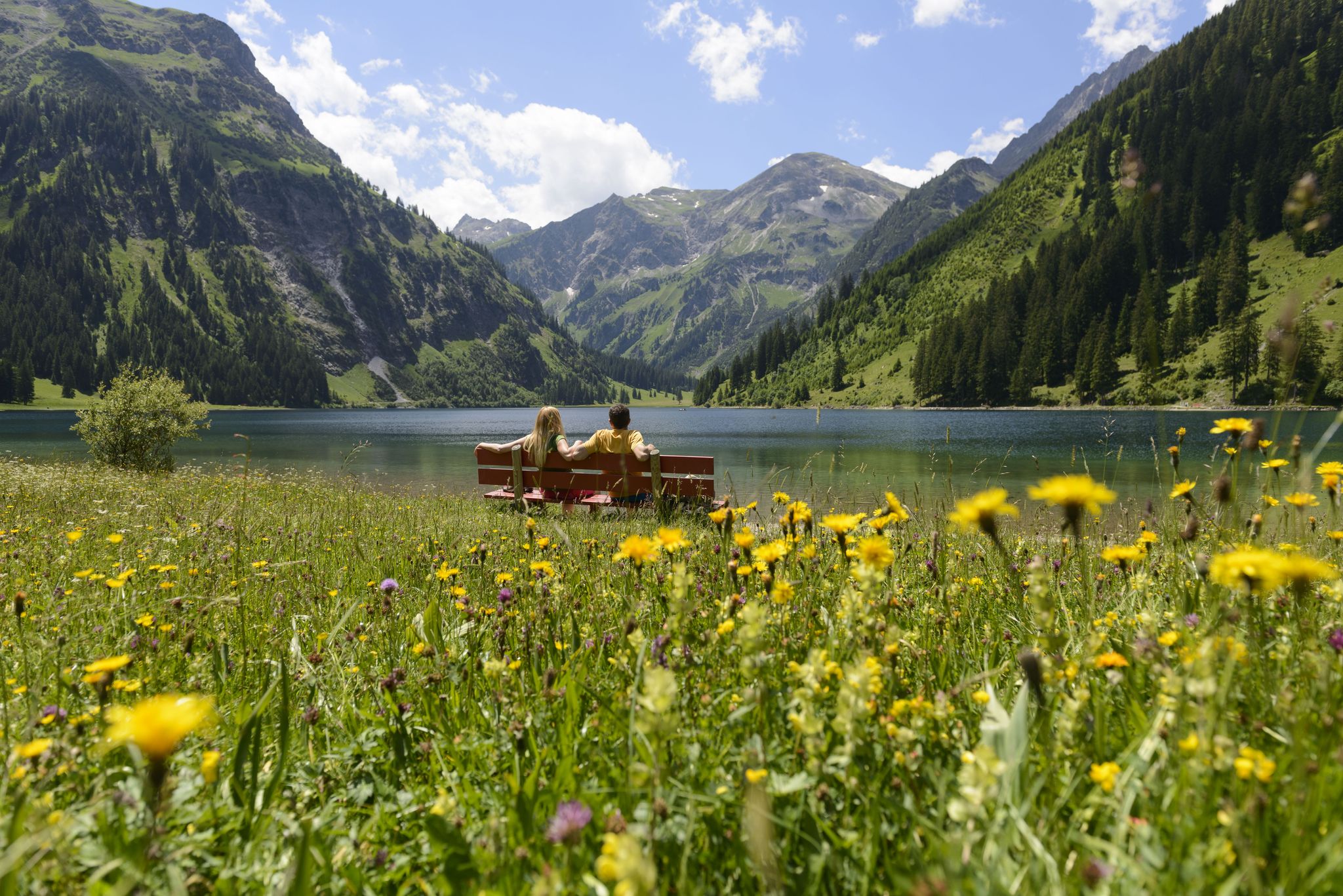
Yes, you can experience both. The Vils River Waterfall – View of Zöblen loop from Zöblen leads you past a waterfall. Additionally, the region is known for beautiful mountain lakes like Lake Vilsalp, which is easily accessible and suitable for families, and the smaller Greiter Pond in Zöblen itself.
What natural features or landmarks can I see along easy hiking trails in Zöblen?
Beyond the stunning Tannheim Mountains and alpine meadows, easy trails often follow the Vils River. You can also find highlights like the Waterfall trail Nesselwang, and the picturesque Lake Vilsalp. The View of Zöblen – Höfer Lake loop from Zöblen offers views of another local lake.
Is Zöblen a good destination for family-friendly easy hikes?
Absolutely. The Tannheimer Valley, where Zöblen is located, is known for its family-friendly options. Many easy trails are suitable for all ages, with some sections even being barrier-free. The accessibility of places like Lake Vilsalp makes it a great choice for families.
What is the best time of year for easy hikes in Zöblen?
The Tannheimer Valley is beautiful year-round. Summer is ideal for enjoying the alpine meadows and lakes. However, the region also maintains nearly 81 kilometers of cleared paths in winter, allowing for enchanting snowy walks. Always check local conditions before heading out.
Are there places to eat or rest along the easy hiking routes?
Yes, the region is well-equipped with cozy huts and refreshment stops. The Bad Kissinger Hut and Landsberger Hut are notable rest stops for hikers, providing opportunities to enjoy local cuisine and take a break.
What do other hikers say about the easy trails in Zöblen?
The easy trails in Zöblen are highly regarded by the komoot community, with an average rating of 4.6 stars from over 6,600 reviews. Hikers often praise the scenic views, well-maintained paths, and the overall accessibility of the routes, making them a popular choice for exploring the Tannheimer Valley.
Is parking available for easy hiking trails in Zöblen?
While specific parking locations for each trail are best checked on individual route pages, Zöblen and the surrounding Tannheimer Valley generally offer parking facilities for hikers, often near trailheads or village centers. It's advisable to look up parking options for your chosen route in advance.
Can I reach easy hiking trails in Zöblen using public transport?
The Tannheimer Valley, including Zöblen, is known for its commitment to accessibility. Public transport options are available within the valley, which can help you reach various starting points for hikes. For detailed schedules and routes, it's best to consult local public transport information.
Are dogs allowed on the easy hiking trails in Zöblen?
Generally, dogs are welcome on hiking trails in the Tannheimer Valley. However, it's always recommended to keep dogs on a leash, especially in nature reserve areas like around Lake Vilsalp, and to be mindful of other hikers and local wildlife. Always clean up after your pet.
Most popular routes around Zöblen
Most popular attractions around Zöblen

Get inspired with the komoot mobile app


Explore more
Browse the best Hikes in other regions.
