Easy hikes and walks around Obervellach
4.7
(1566)
7,965
hikers
57
hikes
Easy hiking trails around Obervellach offer access to the varied landscape of Carinthia, Austria. The region is characterized by its river valleys, dramatic gorges, and surrounding hills, providing a mix of forest paths and open views. Historic castle ruins dot the terrain, adding points of interest to many routes. This area is suitable for those seeking gentle gradients and accessible paths.
Best easy hiking trails around Obervellach
- The most popular easy hiking route is Obervellach's Groppenstein Gorge, a 2.1…
Last updated: October 10, 2026
4.8
(402)
2,018
hikers
3.39km
01:11
200m
200m
Easy hike. Great for any fitness level. Easily-accessible paths. Suitable for all skill levels.
4.4
(10)
29
hikers
3.52km
01:12
190m
190m
Easy hike. Great for any fitness level. Easily-accessible paths. Suitable for all skill levels.

4.0
(7)
28
hikers
5.48km
01:46
230m
230m
Easy hike. Great for any fitness level. Easily-accessible paths. Suitable for all skill levels.
4.4
(7)
28
hikers
Easy hike. Great for any fitness level. Easily-accessible paths. Suitable for all skill levels.
5.0
(2)
8
hikers
5.10km
01:39
230m
230m
Easy hike. Great for any fitness level. Easily-accessible paths. Suitable for all skill levels.
Get access to more routes and recommendations from other explorers.
Already have an account?
Our route recommendations are based on thousands of hikes, rides, and runs completed by other people on komoot.
Start today with a free account
Your next adventure awaits.
Popular around Obervellach

Alpe-Adria-Trail: My long-distance hike from the glacier to the sea
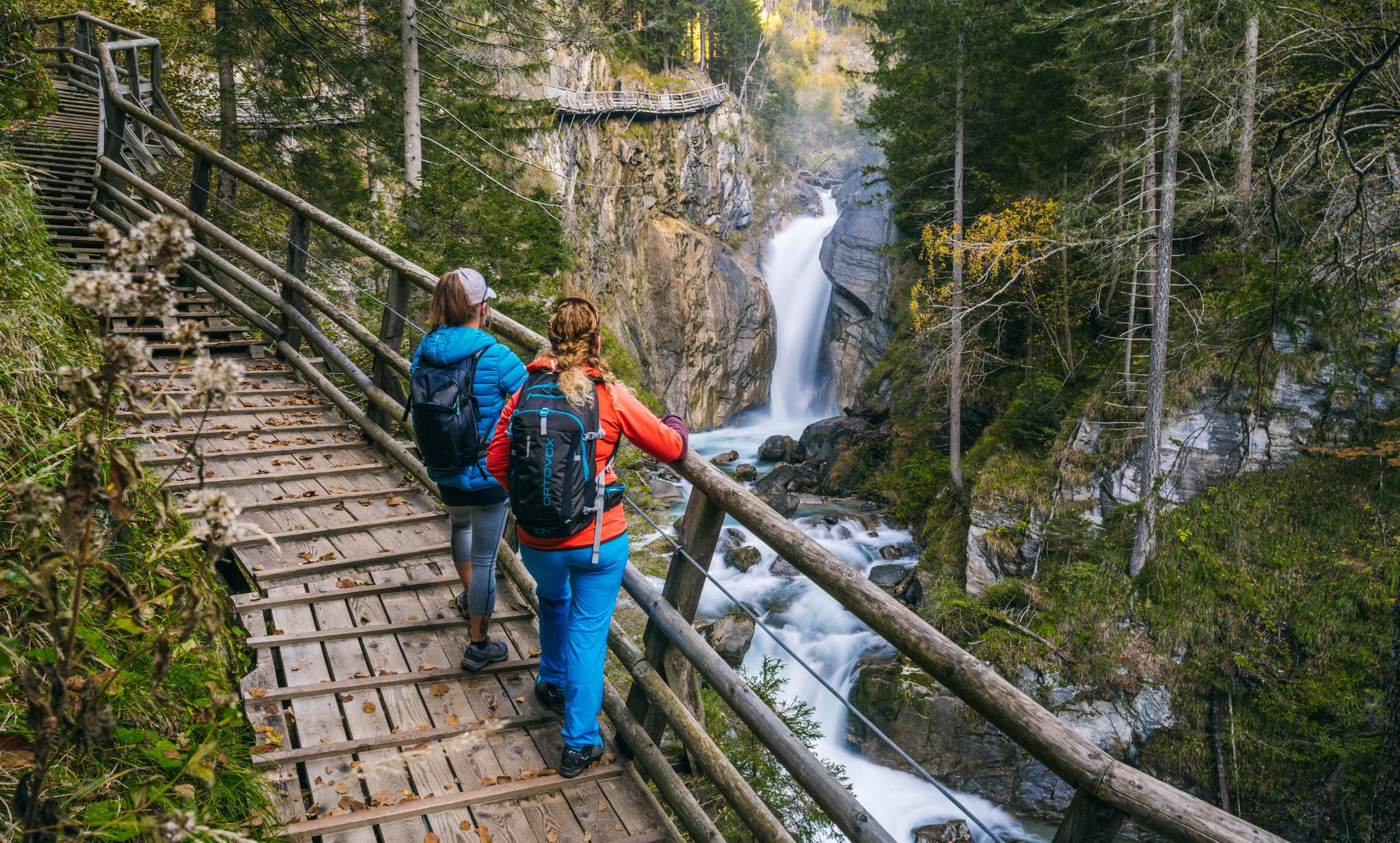
Experiences for all the senses – gorge hikes in the High Tauern
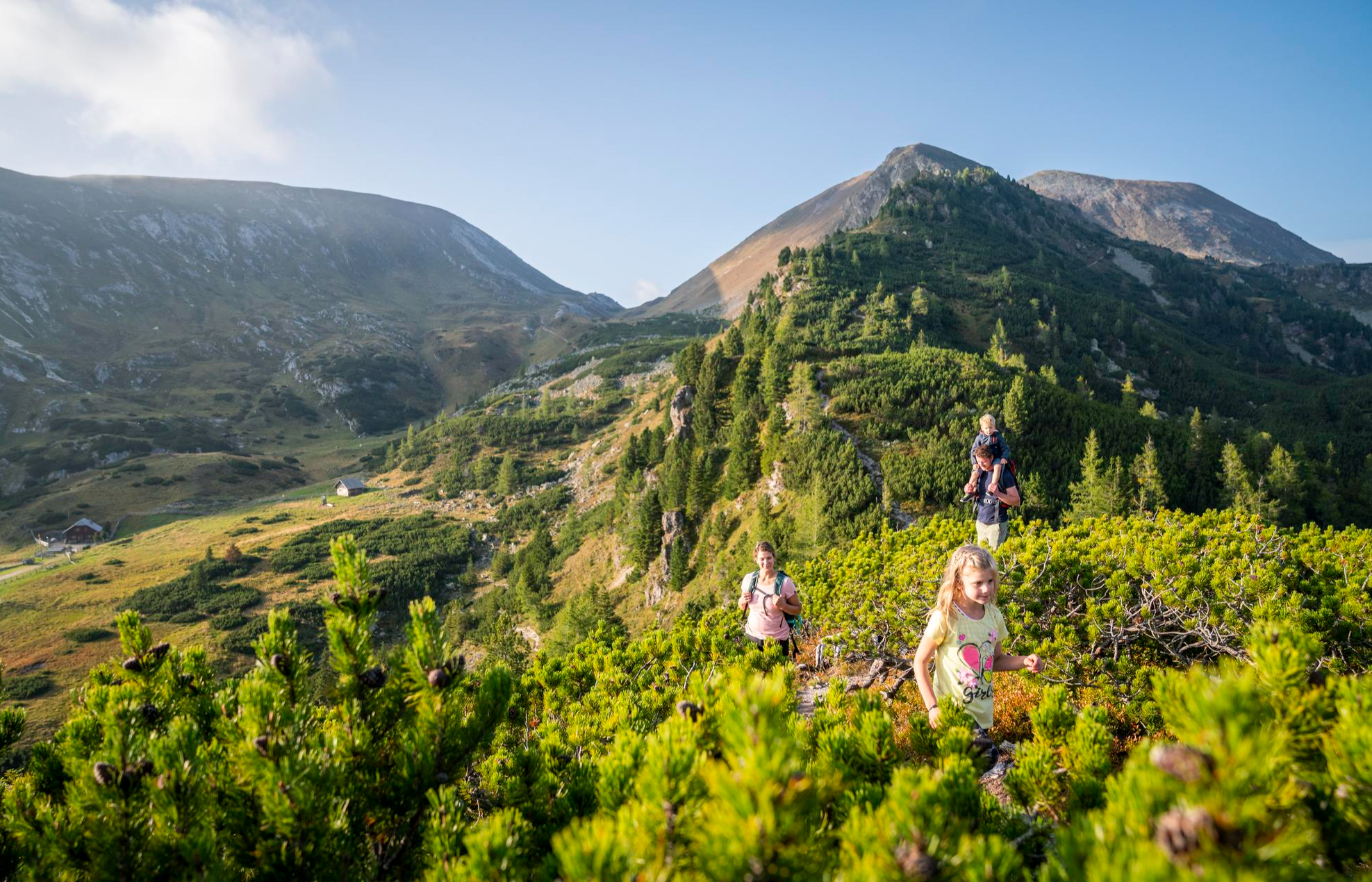
Joyous adventures experienced together – family hiking in Carinthia
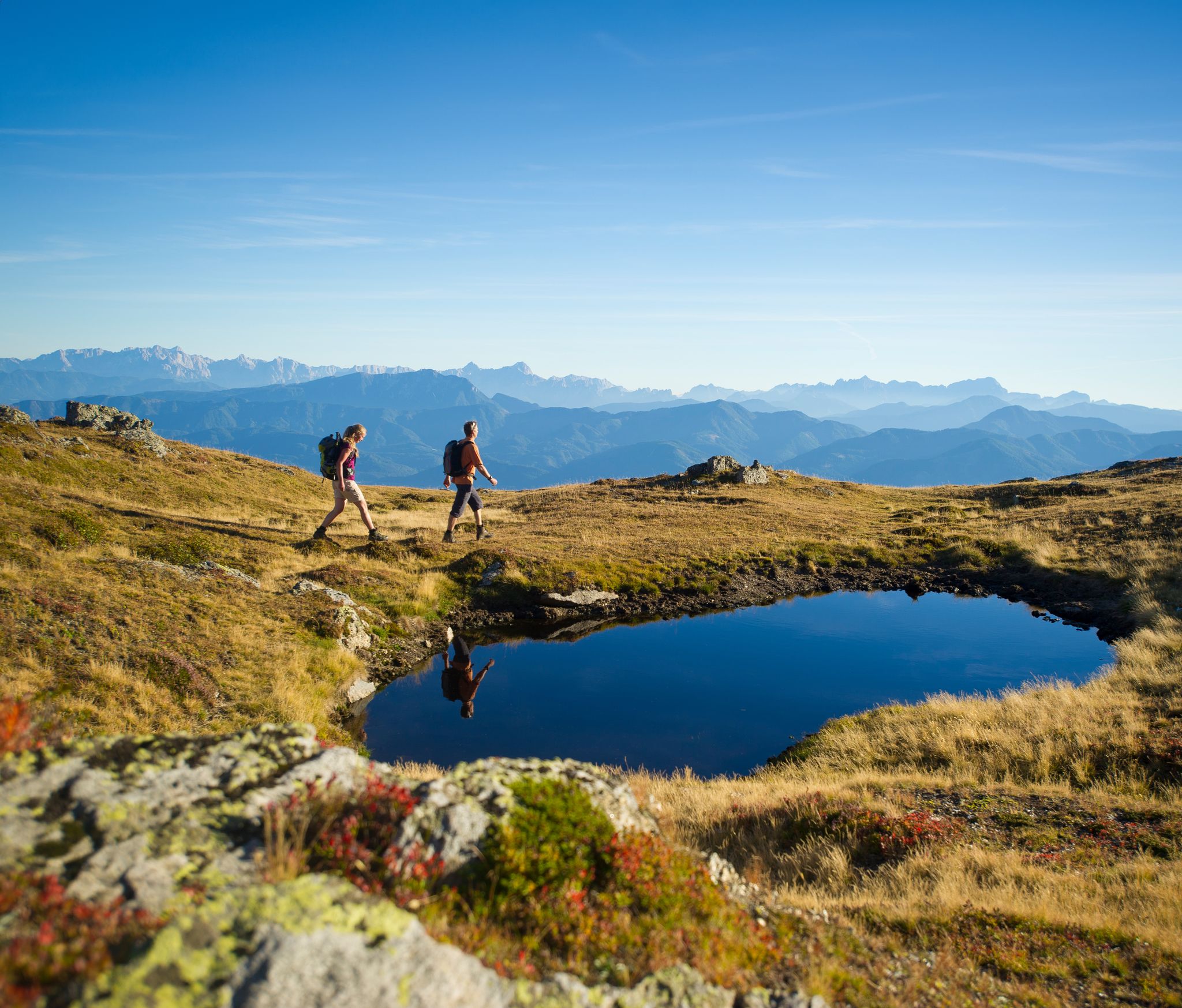
Hiking Without a Footprint on the Alpe-Adria-Trail
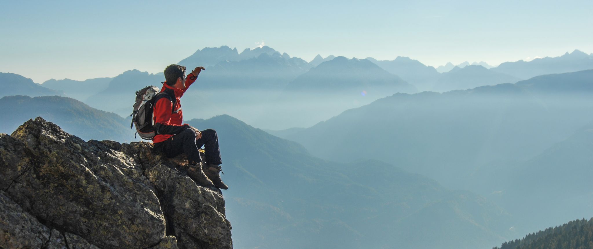
Peaks and gorges in the Hohe Tauern

From the Grossglockner to the sea on the Alpe Adria Trail

The most beautiful waterfalls of the Alps
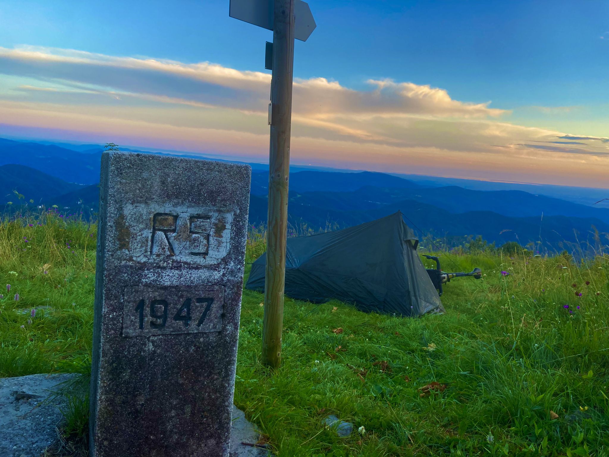
From Bavaria to the Adriatic - My Bikepacking Adventure to Croatia 2023

Magnificent mountain biking on Austria's alpine pastures
Other adventures around Obervellach


Tips from the Community

...unfortunately closed!
1
0
Beautiful gorge path through two gorges 🥾👀📸
1
0
...the Rabisch gorge is a natural experience! Compared to the neighboring Groppenstein gorge, it is less frequented! 👀📸
1
0
...the Groppenstein Gorge is a natural experience! It can be visited for free with the KärntenCard! In summer there are also 'night hikes' with a illuminated gorge 🥾👀📸
1
0
...the Groppensteinschlucht is a natural experience! It can be visited for free with the KärntenCard! In summer there are also 'night hikes' with a lit gorge 🥾👀📸
1
0

Unfortunately currently closed
0
0
In memory of Sepp Fersterer
0
0
…a nice little place with a pretty center 👀
2
0
Frequently Asked Questions
How many easy hiking trails are available around Obervellach?
There are 18 easy hiking trails around Obervellach, offering a variety of landscapes from river valleys to forested hills. In total, the region features over 50 hiking routes across all difficulty levels.
What is the best time of year for easy hikes in Obervellach?
The best time for easy hikes in Obervellach is generally from spring to autumn (May to October), when the weather is mild and trails are clear. Summer offers lush greenery and full waterfalls, while autumn provides vibrant foliage. Some gorge trails might have seasonal closures, so it's always good to check local conditions.
Are there easy circular hiking routes in Obervellach?
Yes, Obervellach offers several easy circular routes. A popular option is the Launsberghütte loop from Obervellach, which takes you through forested hills. Another scenic loop is the Rabisch Gorge – Two Gorges Hiking Trail loop from Mallnitztal, exploring natural rock formations and flowing water.
Can I bring my dog on easy hikes in Obervellach?
Many easy hiking trails in Obervellach are dog-friendly, especially those through forests and open areas. However, some specific attractions like the Groppenstein Gorge may have restrictions or require dogs to be on a leash. Always check local signage and be mindful of other hikers and wildlife.
Are there family-friendly easy walks in Obervellach?
Absolutely. The easy trails around Obervellach are well-suited for families. Routes through gorges, such as Obervellach's Groppenstein Gorge, often feature well-maintained paths and boardwalks, making them accessible and engaging for children. The region's gentle gradients and diverse scenery provide an enjoyable experience for all ages.
Are there easy trails with waterfalls or gorges in Obervellach?
Yes, Obervellach is known for its dramatic gorges and waterfalls. The Groppenstein Gorge is a prime example, featuring impressive waterfalls like the Groppenstein Waterfall and wooden walkways. The Rabisch Gorge also offers stunning natural rock formations and flowing water.
What historical sites can I see on easy hikes around Obervellach?
The region around Obervellach is dotted with historic castle ruins. You can explore routes that pass by these ancient structures, such as the Unterfalkenstein Castle – Ruins of Oberfalkenstein Castle loop from Burg Niederfalkenstein. These trails offer a glimpse into the area's rich history amidst beautiful natural scenery.
Are there easy trails with scenic viewpoints in Obervellach?
Many easy trails in Obervellach offer rewarding views of the surrounding landscape. For example, some routes provide stunning perspectives of the Möll Valley. The forested hills and open areas often open up to panoramic vistas, especially on trails with slight elevation gains.
What do other hikers enjoy most about the easy trails in Obervellach?
The easy trails in Obervellach are highly rated by the komoot community, with an average score of 4.7 stars from over 1,300 reviews. Hikers often praise the region's diverse scenery, from the dramatic gorges and waterfalls to the peaceful forested paths and historic castle ruins. The well-maintained trails and accessibility for various fitness levels are also frequently highlighted.
Is parking available at easy trailheads in Obervellach?
Yes, parking is generally available at or near the trailheads for many easy hikes in Obervellach. Specific parking information can often be found on individual route pages on komoot, or by checking local signage upon arrival. Some popular spots like the Groppenstein Gorge have dedicated parking facilities.
Are there less busy easy hiking options in Obervellach?
While popular spots like the Groppenstein Gorge can attract visitors, Obervellach also offers many quieter easy trails, especially those venturing into the forested hills or lesser-known valleys. Exploring routes slightly off the main tourist paths, or hiking during off-peak hours, can provide a more serene experience. The Unterfalkenstein Castle loop from Burg Niederfalkenstein is a good example of a shorter, less crowded option.
Are there easy winter hiking options in Obervellach?
During winter, some easy trails in Obervellach remain accessible for winter hiking, especially those at lower elevations or well-maintained paths. However, conditions can vary greatly with snow and ice. It's advisable to check local weather forecasts and trail conditions before heading out, and to wear appropriate winter footwear and gear.
Most popular routes around Obervellach
Most popular attractions around Obervellach

Get inspired with the komoot mobile app


Explore more
Browse the best Hikes in other regions.
