Easy hikes and walks around Kupferzell
4.5
(6313)
27,600
hikers
81
hikes
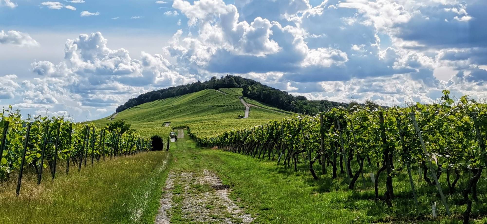
Easy hiking trails around Kupferzell traverse a diverse landscape characterized by rolling hills, expansive fields, and dense forests. The region is shaped by the picturesque Kocher River, offering accessible paths along its banks. Varied topography includes gentle swells and deeply incised ravines, contributing to the area's natural beauty. These features provide a range of easy routes suitable for different preferences.
Best easy hiking trails around Kupferzell
- The most popular easy hiking route is Generations Park Kupferzell – Kupfer River Nature…
Last updated: July 14, 2026
4.8
(5)
33
hikers
Easy hike. Great for any fitness level. Easily-accessible paths. Suitable for all skill levels.
5.0
(3)
16
hikers
4.89km
01:18
50m
50m
Easy hike. Great for any fitness level. Easily-accessible paths. Suitable for all skill levels.

Sign up for free
4.5
(4)
11
hikers
6.33km
01:45
100m
100m
Easy hike. Great for any fitness level. Easily-accessible paths. Suitable for all skill levels.
3.0
(2)
10
hikers
6.37km
01:46
100m
100m
Easy hike. Great for any fitness level. Easily-accessible paths. Suitable for all skill levels.
4.0
(5)
10
hikers
5.68km
01:29
40m
40m
Easy hike. Great for any fitness level. Easily-accessible paths. Suitable for all skill levels.
Get access to more routes and recommendations from other explorers.
Sign up for free
Already have an account?
Our route recommendations are based on thousands of hikes, rides, and runs completed by other people on komoot.
Start today with a free account
Your next adventure awaits.
Login or Signup


Tips from the Community

Generationspark Kupferzell in Hohenlohe
0
0
Discovered while cycling in Hohenlohe
0
0
Former railway line discovered while cycling
0
0

The "Duck Killer" drove along the railway line here.
0
0

Here's the meaning behind the name: Topographical "Meeting": The route connects two contrasting elements of the Hohenlohe landscape – the mountains and the plains. The "Summit": Waldenburg sits atop a mountain spur at an altitude of approximately 500 meters and is also known as the "Balcony of Hohenlohe." This is the high point (summit) of the tour. The Plains: Gailenkirchen and the route leading there lie significantly lower in the Hohenlohe Plain/Kochertal region (approximately 350 meters). The name thus alludes to the fact that here, the mountain and the valley "meet," or rather, that the cyclist climbs (or descends) a "summit." Marketing Name: As the user comment on Komoot shows ("a brilliant bike path, it's called Gipfeltreffen (Summit Meeting), and maybe someone knows what it means"), the name was deliberately chosen to be unusual, to pique curiosity and emphasize the athletic challenge (the climb to Waldenburg).
1
0

Water is always good for the eyes when driving past
1
0

Not overcrowded even in summer. Offers barbecue areas and a few swimming spots.
0
0
cycle path
1
1
Frequently Asked Questions
How many easy hiking trails are there in Kupferzell?
Kupferzell offers a wide selection of easy hiking trails, with over 50 routes specifically categorized as easy. These trails are perfect for leisurely strolls and less strenuous outdoor activities.
Are there family-friendly easy hikes in Kupferzell?
Yes, Kupferzell is an excellent destination for family-friendly easy hikes. Many routes, like the Generations Park Kupferzell – Kupfer River Nature Experience loop, are suitable for all ages and often feature paved paths, making them accessible for strollers or children's bicycles. The region's diverse topography, with gentle swells and scenic river paths, provides a pleasant experience for families.
Can I bring my dog on easy hikes around Kupferzell?
Many easy hiking trails in Kupferzell are dog-friendly, allowing you to enjoy the scenic landscapes with your canine companion. The paths along the Kocher River, for instance, are popular choices for walks with dogs. Always ensure your dog is on a leash and respect local regulations.
What kind of landscapes can I expect on easy trails in Kupferzell?
Easy trails in Kupferzell traverse a diverse landscape featuring rolling hills, expansive fields, and dense forests. You'll encounter the picturesque Kocher River, which shapes many accessible paths, and experience the Hohenloher Ebene with its agriculturally shaped scenery. The region offers a rich tapestry of flora and fauna, ideal for exploration.
Are there any circular easy walks available?
Yes, Kupferzell offers several excellent circular easy walks. Popular options include the Generations Park Kupferzell – Kupfer River Nature Experience loop, the View of the Quarry – View of Rüblingen loop, and the Kreuzstein Shelter – Idyllic Forest Pond loop. These routes allow you to start and end at the same point, offering convenience and varied scenery.
What are some notable natural attractions or landmarks I can see on these trails?
While hiking easy trails around Kupferzell, you can discover several natural attractions. You might encounter beautiful lakes such as Starkholzbacher Lake or Lake Neumühl. The region also features picturesque gorges like Badersklinge Gorge and the scenic Zimmerbach Valley. Keep an eye out for the impressive Kochertal Bridge, Germany's highest car bridge, which is also in the vicinity.
How long do easy hikes in Kupferzell typically take?
Easy hikes in Kupferzell vary in length and duration. For example, the Generations Park Kupferzell – Kupfer River Nature Experience loop is about 3.4 miles (5.4 km) and takes approximately 1 hour 24 minutes. The Kreuzstein Shelter – Idyllic Forest Pond loop is slightly longer at 3.9 miles (6.3 km) and can be completed in about 1 hour 44 minutes. Most easy routes are designed for shorter, enjoyable outings.
Is parking available near the trailheads for easy routes?
Yes, parking is generally available near the trailheads for many easy hiking routes in Kupferzell. For instance, routes like the Generations Park Kupferzell – Kupfer River Nature Experience loop often have designated parking areas, making access convenient for hikers.
What is the best time of year to go easy hiking in Kupferzell?
Kupferzell offers beautiful easy hiking experiences throughout the year. Spring brings vibrant blooming meadows, summer provides cool, shady forest paths, and autumn paints the forests with spectacular colors. Even in winter, easy trails can be enjoyed, offering a serene, crisp atmosphere. The best time depends on your preference for seasonal scenery.
What do other hikers say about the easy trails in Kupferzell?
The easy trails in Kupferzell are highly rated by the komoot community, with an average score of 4.5 stars from over 100 reviews. Hikers often praise the well-maintained paths, the tranquil forest sections, and the scenic views along the Kocher River, highlighting the region's natural beauty and accessibility for all skill levels.
Are there any easy trails that pass by lakes or water features?
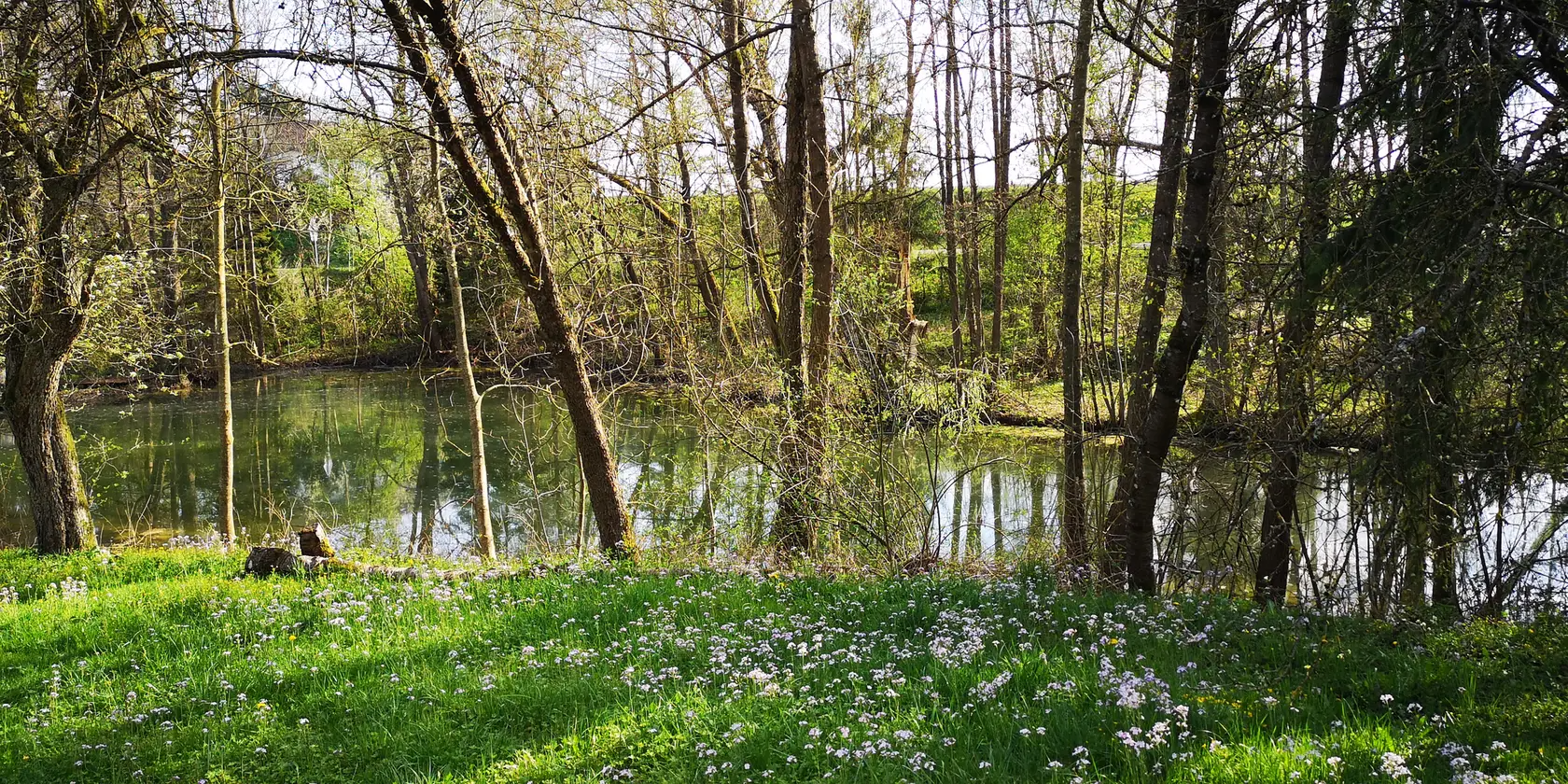
Yes, several easy trails in Kupferzell feature beautiful lakes and water features. The Kreuzstein Shelter – Idyllic Forest Pond loop leads directly past a tranquil forest pond. Additionally, the region is home to picturesque lakes like Starkholzbacher Lake and Lake Neumühl, which can be incorporated into easy hiking plans.
Can I reach easy hiking trails in Kupferzell by public transport?
While many trailheads are easily accessible by car with available parking, some easy hiking trails in Kupferzell can also be reached via public transport. It's advisable to check local bus schedules and routes to plan your journey to specific starting points, especially for trails closer to the town center or along the Kocher River.
Most popular routes around Kupferzell
Most popular attractions around Kupferzell

Get inspired with the komoot mobile app


Explore more
Browse the best Hikes in other regions.
