Easy hikes and walks around Haselbachtal
4.6
(7325)
24,806
hikers
131
hikes
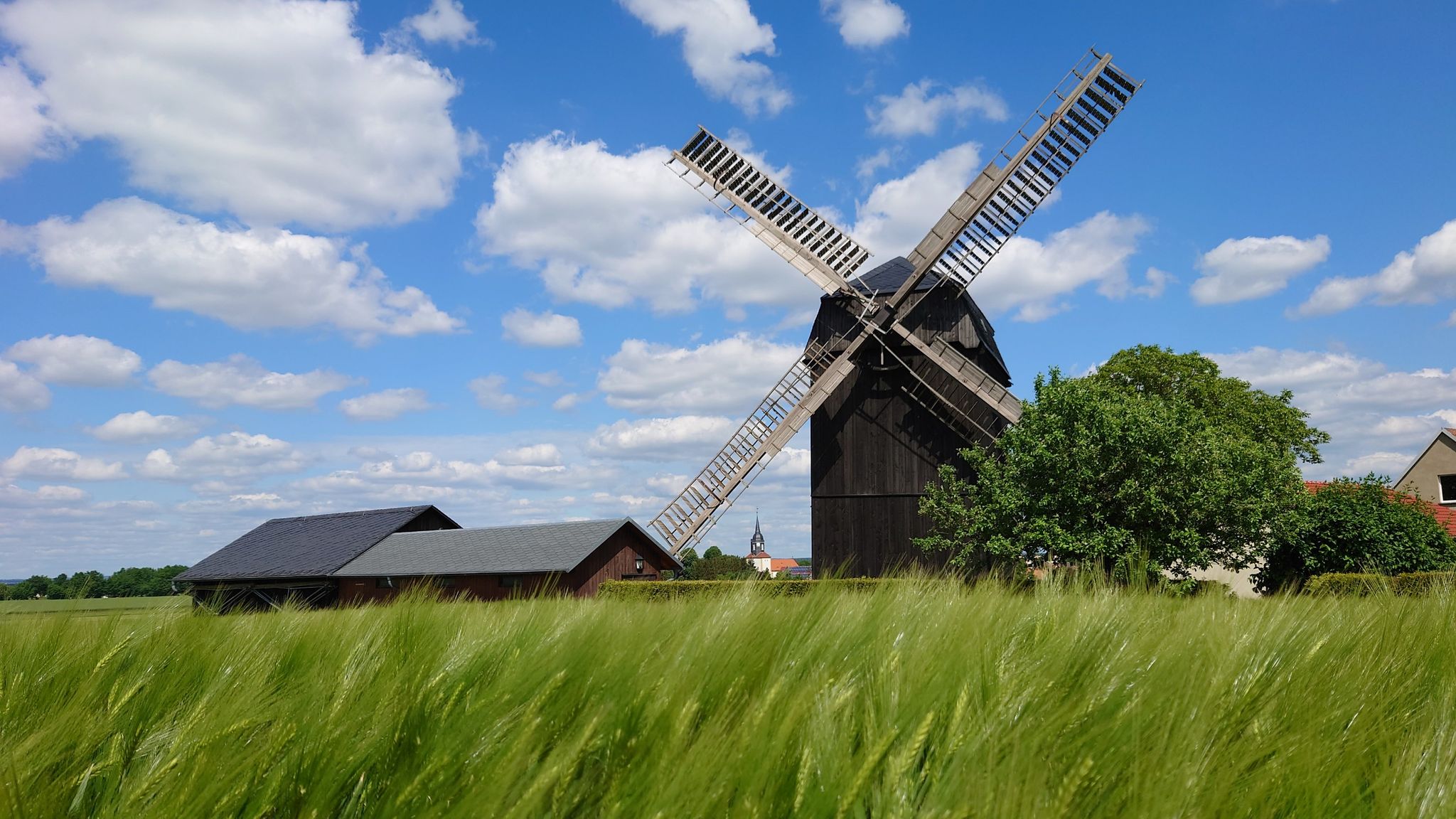
Easy hiking trails around Haselbachtal traverse a landscape characterized by hilly terrain, extensive forests, and meandering waterways. Situated between the Lusatian Mountains and Upper Lusatia, the region offers a blend of rolling hills and dense woodlands. The Haselbach river winds through the valley, providing tranquil spots, while several hills offer expansive views. This natural setting provides varied options for outdoor exploration.
Best easy hiking trails around Haselbachtal
- The most popular easy hiking route is Tiefental near Königsbrück – Gräfenhain Village…
Last updated: October 31, 2026
4.6
(35)
93
hikers
Easy hike. Easily walkable paths.
4.7
(24)
66
hikers
Easy hike. Easily walkable paths.

4.5
(18)
43
hikers
Easy hike. Easily walkable paths.
5.0
(1)
23
hikers
Easy hike. Easily walkable paths.
4.6
(5)
28
hikers
Easy hike. Easily walkable paths.
Get access to more routes and recommendations from other explorers.
Already have an account?
Our route recommendations are based on thousands of hikes, rides, and runs completed by other people on komoot.
Start today with a free account
Your next adventure awaits.
Popular around Haselbachtal
Other adventures around Haselbachtal

Tips from the Community

Located right by the village church.
0
0

Bischheim Church. Evangelical Parish Church. Information: A simple hall church dating from 1803 with a tower, of architectural and local historical significance.
2
0

very well maintained
0
0

A great option for getting back to Dresden if you don't want to deal with heavy traffic near a big city and want to return by train. The stop is single-track, and you can roll (slowly!) all the way to the platform.
2
1

Viaduct next to the single-track non-electrified railway line Kamenz, Pulsnitz, Dresden
0
0

.....there is a beautiful rest pavilion....
0
0

A small covered rest area as an ideal starting point for the hike along the Pulsnitz
1
0
A nice place on the Pulsnitz
1
0
Frequently Asked Questions
How many easy hiking trails are available in Haselbachtal?
Haselbachtal offers a wide selection of easy hiking trails, with over 50 routes specifically categorized as easy. In total, there are more than 100 hiking routes in the region, catering to various preferences and fitness levels.
What kind of landscape can I expect on easy hikes in Haselbachtal?
Easy hikes in Haselbachtal traverse a picturesque landscape characterized by rolling hills, dense forests, and the meandering Haselbach river. The region, nestled between the Lusatian Mountains and Upper Lusatia, provides a blend of woodlands and tranquil riverine spots, especially vibrant during spring blossoms or autumn colors.
What do other hikers say about the easy trails in Haselbachtal?
The easy trails in Haselbachtal are highly regarded by the komoot community, holding an average rating of 4.5 stars from over 360 reviews. Hikers often praise the well-maintained paths, the serene natural environment, and the accessibility of the routes for a relaxing outdoor experience.
Are there any circular easy hikes in Haselbachtal?
Yes, many easy routes in Haselbachtal are designed as circular walks, allowing you to start and end at the same point. For example, the Tiefental near Königsbrück – Gräfenhain Village Pond loop from Tiefental bei Königsbrück is a popular 7.6 km circular trail, and the Old Quarry – Rittergut Reichenau loop from Reichenau offers a 7.0 km circular path with scenic views.
What is the best time of year for easy hiking in Haselbachtal?
The best time for easy hiking in Haselbachtal is generally from spring to autumn. Spring offers vibrant blossoms, while autumn provides stunning golden foliage. Even in winter, some routes, particularly around the Schwedenstein, are suitable for walking or cross-country skiing, offering a different kind of scenic beauty.
Are there any viewpoints on the easy hiking trails in Haselbachtal?
Yes, several easy trails offer access to rewarding viewpoints. The Schwedenstein Observation Tower provides excellent panoramic views of the mountainous landscape, Steina, and Pulsnitz. The Keulenberg Summit also features a viewing tower with expansive vistas, and the Haselbergturm offers good views in all four directions.
What landmarks or attractions can I see near easy hiking routes in Haselbachtal?
Beyond natural beauty, you can discover several landmarks. The historic Rittergut Reichenau is visible on routes like the Old Quarry – Rittergut Reichenau loop. Other notable attractions in the wider region include the Rammenau Baroque Palace and the Seifersdorf Castle and Park, which can be explored as part of a longer day out.
Are the easy hiking trails in Haselbachtal suitable for families with children?
Absolutely. Many easy trails in Haselbachtal are ideal for families. The gentle terrain and shorter distances make them perfect for children. The Keulenberg Summit, for instance, has a playground, and the park in Bischheim, featured on the Playground in Park Bischheim – Village Church of Bischheim loop, offers additional family-friendly amenities.
Can I bring my dog on easy hikes in Haselbachtal?
Yes, Haselbachtal's easy hiking trails are generally dog-friendly, offering plenty of natural spaces for your canine companion. Always keep your dog on a leash, especially near wildlife or other hikers, and remember to carry waste bags to maintain the cleanliness of the trails.
Where can I find parking for easy hikes in Haselbachtal?
Parking is typically available at the starting points of many trails, especially near villages or popular attractions. For example, routes starting from Tiefental bei Königsbrück or Reichenau usually have designated parking areas. It's advisable to check specific route details for precise parking information.
Are there any cafes or restaurants near the easy hiking trails in Haselbachtal?
Yes, you can find options for refreshments near some easy hiking trails. The Keulenberg Summit has a snack bar open on Sundays, and a restaurant is located next to the Schwedenstein Observation Tower, providing a convenient stop for hikers.
What is the typical duration and distance for easy hikes in Haselbachtal?
Easy hikes in Haselbachtal typically range from 4 to 8 kilometers (2.5 to 5 miles) in distance, with durations between 1.5 to 2.5 hours. For example, the Tiefental near Königsbrück loop is about 6.4 km and takes approximately 1 hour 40 minutes, making them suitable for a leisurely outing.
Are there any easy hikes that feature water bodies like lakes or rivers?
Yes, the region is characterized by the meandering Haselbach river, which provides tranquil spots along its banks. Additionally, the Lake of Friendship (See der Freundschaft) is a natural feature often included in hiking itineraries, offering pleasant views and a relaxing atmosphere.
Most popular routes around Haselbachtal
Most popular attractions around Haselbachtal

Get inspired with the komoot mobile app


Explore more
Browse the best Hikes in other regions.
