Easy hikes and walks around Obermaßfeld-Grimmenthal
4.6
(2054)
6,877
hikers
633
hikes
Easy hiking trails around Obermaßfeld-Grimmenthal traverse a diverse landscape within the Werra river valley, characterized by forests and hills. The region features idyllic villages and offers access to the nearby Thuringian Forest. The terrain includes meadows, fields, and streams, providing varied natural settings for outdoor activities.
Best easy hiking trails around Obermaßfeld-Grimmenthal
- The most popular easy hiking route is Historic Bridge Near Einhausen – Historic Hasel Bridge loop from Einhausen, a 4.5 miles (7.2 km) trail that takes 1…
Last updated: July 14, 2026
4.7
(6)
13
hikers
Easy hike. Great for any fitness level. Easily-accessible paths. Suitable for all skill levels.
8
hikers
Easy hike. Great for any fitness level. Easily-accessible paths. Suitable for all skill levels.

Sign up for free
4.6
(5)
13
hikers
4.51km
01:16
100m
100m
Easy hike. Great for any fitness level. Easily-accessible paths. Suitable for all skill levels.
5.0
(4)
13
hikers
Easy hike. Great for any fitness level. Easily-accessible paths. Suitable for all skill levels.
5.0
(5)
12
hikers
Easy hike. Great for any fitness level. Easily-accessible paths. Suitable for all skill levels.
Get access to more routes and recommendations from other explorers.
Sign up for free
Already have an account?
Our route recommendations are based on thousands of hikes, rides, and runs completed by other people on komoot.
Start today with a free account
Your next adventure awaits.
Login or Signup
Popular around Obermaßfeld-Grimmenthal
Other adventures around Obermaßfeld-Grimmenthal

Tips from the Community

Interesting to see and learn something
0
0

In the inner courtyard you can see three steel bells up close.
1
0

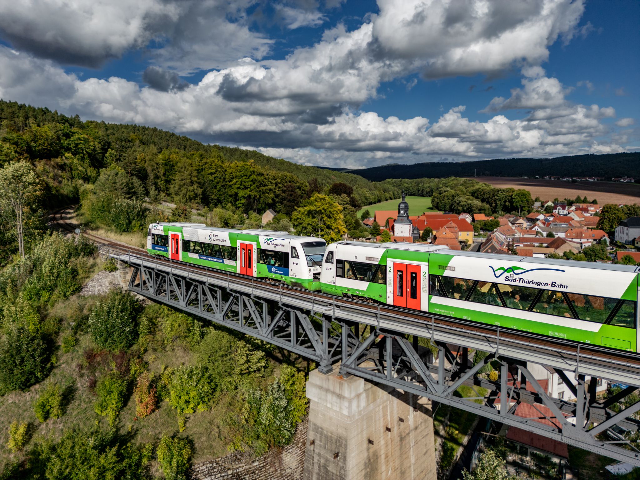
There are always beautiful stone bridges over the Werra. Often, there are brief information about the bridge along the side.
1
0

Beautiful reservoir with a great panorama.👍🏻
7
0

Wonderful view and great clean cabin
1
0

Here the dogs come flying out of the bushes and run after their mistresses... cute little place.
3
0
long visible and long audible
1
0
Frequently Asked Questions
How many easy hiking trails are available in Obermaßfeld-Grimmenthal?
There are 12 easy hiking trails around Obermaßfeld-Grimmenthal, offering a variety of scenic routes suitable for short excursions and those seeking less strenuous walks.
What kind of terrain will I encounter on easy hikes in Obermaßfeld-Grimmenthal?
Easy hikes in Obermaßfeld-Grimmenthal typically traverse the diverse landscape of the Werra river valley, featuring picturesque forests, gentle hills, meadows, fields, and streams. Paths are generally well-maintained and accessible.
Are there any family-friendly easy hikes in the area?
Yes, many of the easy trails are perfect for families. For example, the Historic Hasel Bridge – Historic Bridge Near Einhausen loop from Obermaßfeld-Grimmenthal is a shorter, easy option at 3.8 km, ideal for a leisurely family outing.
What are some notable landmarks or viewpoints along the easy hiking trails?
You can explore several interesting sites. The Historic Bridge Near Einhausen – Historic Hasel Bridge loop from Einhausen offers views of the Werra River. The Grimmenthal pilgrimage site is also accessible via an easy loop from the railway station. For scenic views, look for trails that offer a 'Blick auf Obermaßfeld-Grimmenthal'.
Are there any circular easy hiking routes?
Yes, many easy routes are circular. For instance, the Historic Bridge Near Einhausen – Historic Hasel Bridge loop from Obermaßfeld-Grimmenthal is a popular circular path. Another option is the View of Untermaßfeld – Franconian Marienweg loop from Obermaßfeld-Grimmenthal, which leads through varied local scenery.
What is the best time of year to go hiking in Obermaßfeld-Grimmenthal?
The best time for outdoor activities and easy hiking in Obermaßfeld-Grimmenthal is generally from May to September, when the weather is warm and pleasant for excursions.
What do other hikers say about the easy trails in Obermaßfeld-Grimmenthal?
The easy trails in Obermaßfeld-Grimmenthal are highly rated by the komoot community, with an average score of 4.6 stars from over 500 reviews. Hikers often praise the well-marked paths, the peaceful river views, and the accessibility of the routes.
Are there any easy hikes that pass by lakes or water features?
Yes, the region features the Werra River, and some paths offer relaxing spots along the water. The Path Along the Untermaßfeld Fish Ponds is a notable highlight, providing benches and views of the water, ideal for enjoying nature.
Can I find any castles or historic sites near the easy hiking routes?
While the easy routes focus on natural beauty, the broader region is rich in history. You can find several castle ruins nearby, such as the Habichtsburg Ruins or Henneburg Castle Ruins, which might be accessible via slightly longer walks or a short drive.
What is the typical duration for an easy hike in Obermaßfeld-Grimmenthal?
Easy hikes in Obermaßfeld-Grimmenthal typically range from 1 to 2 hours. For example, the Grimmenthal railway station – Grimmenthal pilgrimage site loop from Obermaßfeld-Grimmenthal can be completed in about 40 minutes, while others like the 5.7 km loop to the View of Untermaßfeld take around 1 hour 30 minutes.
Are there options for parking near the trailheads for easy walks?
Yes, many trailheads for easy walks in Obermaßfeld-Grimmenthal are accessible by car, and you can usually find parking in or near the villages. Specific parking information is often available on individual route pages on komoot.
Most popular routes around Obermaßfeld-Grimmenthal
Most popular attractions around Obermaßfeld-Grimmenthal

Get inspired with the komoot mobile app


Explore more
Browse the best Hikes in other regions.
