Easy hikes and walks around Oberschönau
4.6
(21505)
74,533
hikers
56
hikes
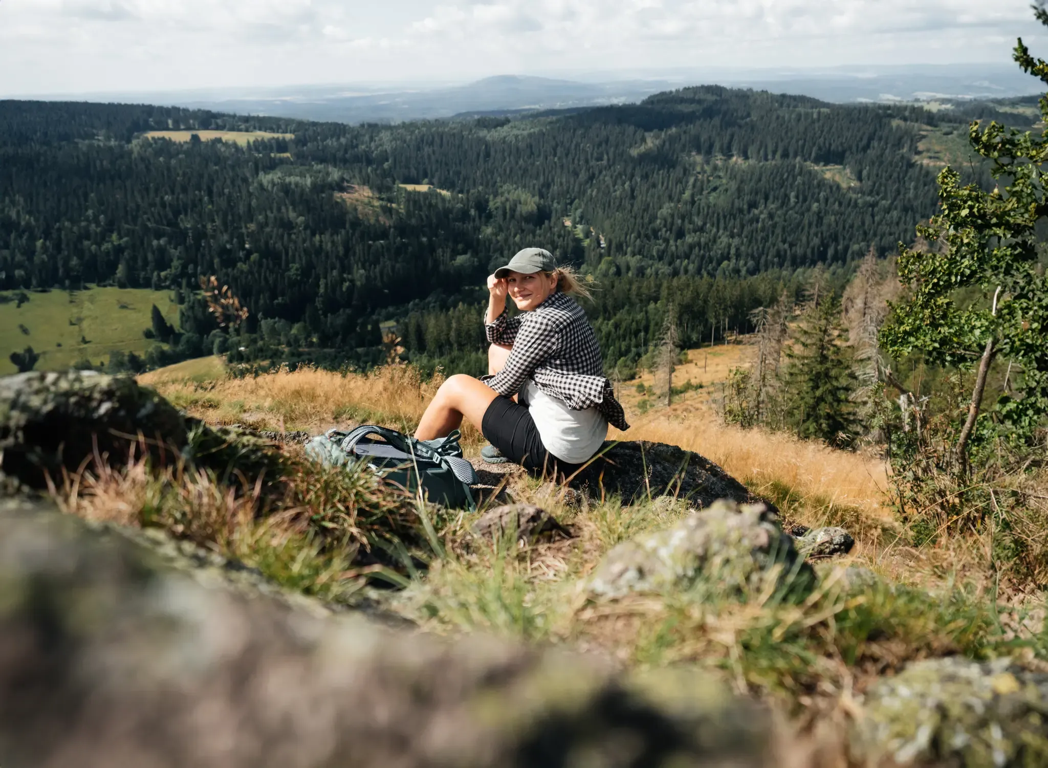
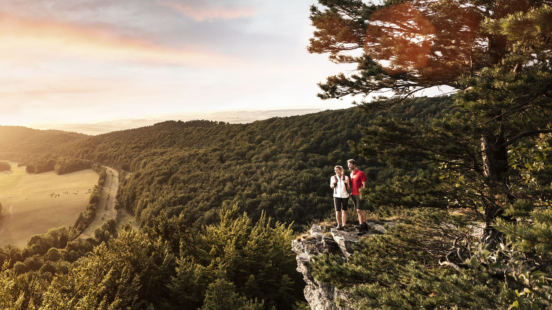
Easy hiking trails around Oberschönau traverse the Thuringian Forest, a region characterized by dense woodlands, varied terrain, and natural rock formations. Situated at elevations between 565 and 900 meters, the area features a landscape of hills and valleys. Well-maintained paths lead through forests and past distinctive natural features, offering clear mountain air.
Best easy hiking trails around Oberschönau
- The most popular easy hiking route is Fuhrmann's Meadow – Fuhrmannswiese Shelter loop from Oberschönau, a 3.6 miles (5.8 km) trail…
Last updated: July 14, 2026
4.8
(8)
26
hikers
5.77km
01:40
150m
150m
Easy hike. Great for any fitness level. Easily-accessible paths. Suitable for all skill levels.
5.0
(3)
16
hikers
5.99km
01:57
270m
270m
Easy hike. Great for any fitness level. Easily-accessible paths. Suitable for all skill levels.

Sign up for free
4.3
(3)
12
hikers
5.61km
01:48
240m
240m
Easy hike. Great for any fitness level. Easily-accessible paths. Suitable for all skill levels.
4.8
(12)
21
hikers
Easy hike. Great for any fitness level. Easily-accessible paths. Suitable for all skill levels.
4.4
(5)
10
hikers
Easy hike. Great for any fitness level. Easily-accessible paths. Suitable for all skill levels.
Get access to more routes and recommendations from other explorers.
Sign up for free
Already have an account?
Our route recommendations are based on thousands of hikes, rides, and runs completed by other people on komoot.
Start today with a free account
Your next adventure awaits.
Login or Signup


Tips from the Community

Beautiful hut with a great view of the Fuhrmannswiese and Hermannsberg
0
0

Various small rock ledges with great views 🥰.
11
0

Oberschönauer Felsenwanderung. Stamp point 12 Apostel
0
0

Actual location of stamp station 62, not as indicated on the Vorderer Möstfelsen.
0
0

Located in a stunning natural setting
5
0
There is plenty to discover all around, and the views are amazing.
0
0

These are my favorite ways
0
0

Great rest area with plenty of seating and a small shelter.
0
0
Frequently Asked Questions
How many easy hiking trails are available around Oberschönau?
Oberschönau offers a good selection of easy hiking trails, with 13 routes specifically categorized as easy. In total, there are over 50 hiking routes in the area, catering to various fitness levels.
What kind of terrain can I expect on easy hikes in Oberschönau?
Easy hikes in Oberschönau primarily traverse the dense Thuringian Forest, featuring well-maintained paths through woodlands. You'll encounter a landscape of hills and valleys, with routes like the Fuhrmann's Meadow – Fuhrmannswiese Shelter loop offering gentle ascents, and the Oberer Möstweg – Hohe Möst Rustic Forest Trail loop providing varied forest scenery with moderate elevation changes.
Are there any family-friendly easy hikes in Oberschönau?
Yes, Oberschönau is well-suited for families. The 'Nature Trail Oberschönau' is a circular, family-friendly route starting in the village center. It features 24 picture panels providing engaging information about local flora and fauna, making it an educational and enjoyable walk for all ages. The Oberschönau Nature Trail – Oberer Möstweg loop is an easy option that incorporates parts of this trail.
Can I bring my dog on the easy hiking trails?
The Thuringian Forest around Oberschönau is generally dog-friendly, with many trails suitable for walks with your canine companion. Always keep your dog on a leash, especially in forested areas, and be mindful of local regulations and wildlife. The varied forest scenery and well-maintained paths are ideal for dogs.
Are there any circular easy walks available?
Yes, many of the easy hikes in Oberschönau are circular routes, perfect for starting and ending in the same location. Examples include the Fuhrmann's Meadow – Fuhrmannswiese Shelter loop, the Oberer Möstweg – Hohe Möst Rustic Forest Trail loop, and the Oberschönau Nature Trail – Oberer Möstweg loop.
What interesting landmarks or viewpoints can I find on easy hikes?
Easy hikes around Oberschönau offer several points of interest. You can find distinctive natural rock formations like the '12 Apostles' and the Katzensteine. Many routes also lead to panoramic viewpoints, such as the Hoher Schorn Observation Tower View or the View of Oberschönau from Hohe Möst. The Lower Möstweg – War Memorial Viewpoint loop specifically passes a memorial with a fantastic view of Oberschönau.
Where can I park for easy hikes in Oberschönau?
Oberschönau, being a village focused on outdoor activities, typically offers parking options near trailheads or in the village center. For instance, the Kanzlersgrund – View of Hoher Stein loop starts from Gasthof Café Kanzlersgrund, suggesting parking availability there. It's advisable to check specific starting points for designated parking areas.
What is the best time of year for easy hikes in Oberschönau?
The Thuringian Forest is beautiful year-round. Spring and autumn offer pleasant temperatures and vibrant colors, while summer provides lush greenery and clear mountain air. Even in winter, the region can be suitable for easy walks, though conditions may vary, and appropriate footwear is essential.
Are there any places to eat or stay near the easy hiking trails?
Oberschönau is an idyllic mountain village, so you'll find local amenities. The region research mentions Gasthof Café Kanzlersgrund, indicating places for refreshments. For accommodation, you can find guesthouses and hotels within Oberschönau or nearby towns, providing a comfortable base for your hiking adventures.
What do other hikers enjoy most about hiking in Oberschönau?
The easy hiking trails in Oberschönau are highly rated by the komoot community, with an average score of 4.6 stars from over 5,300 reviews. Hikers often praise the dense and scenic Thuringian Forest, the clear mountain air, and the well-maintained paths that make for enjoyable and accessible walks.
How long do the easy hikes typically take?
The easy hikes around Oberschönau vary in length and duration. For example, the Kanzlersgrund – View of Hoher Stein loop is a shorter option at about 1 hour 4 minutes, while routes like the Fuhrmann's Meadow – Fuhrmannswiese Shelter loop typically take around 1 hour 40 minutes to complete.
Most popular routes around Oberschönau
Most popular attractions around Oberschönau

Get inspired with the komoot mobile app


Explore more
Browse the best Hikes in other regions.
