Easy hikes and walks in Bezirk Gäu
4.6
(5600)
29,953
hikers
128
hikes
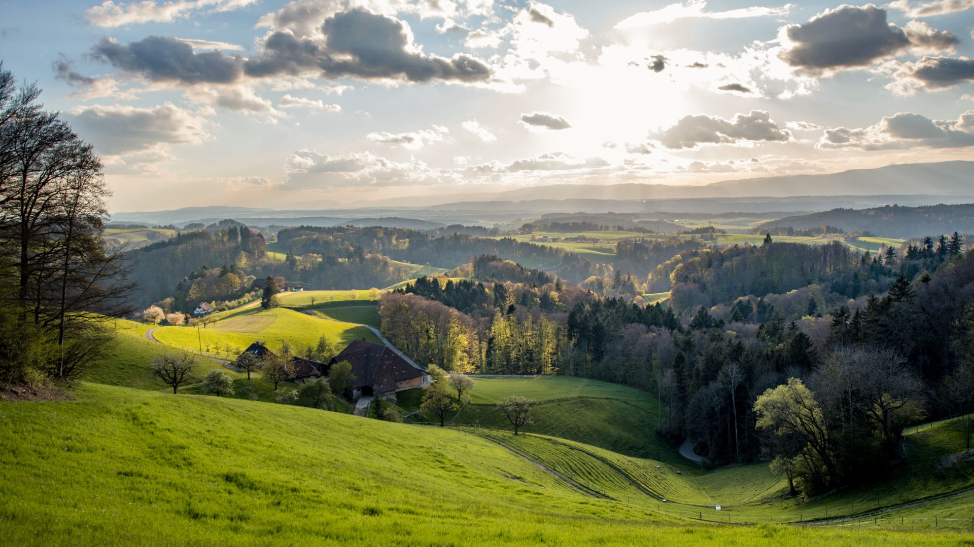
Easy hiking trails in Bezirk Gäu, located in the canton of Solothurn, Switzerland, offer diverse landscapes for outdoor exploration. The region is characterized by the Jura Mountains to the north, the Dünnern plain, and the Aare River to the south, providing varied terrain. Hikers can find gently rolling hills in the Mittelgäu and serene river terraces along the Aaregäu. The Jura foothills present pristine natural environments, with elevations ranging from approximately 399 to 1034 meters above sea level.
Best easy…
Last updated: October 4, 2026
4.7
(7)
61
hikers
Easy hike. Great for any fitness level. Easily-accessible paths. Suitable for all skill levels.
4.9
(8)
45
hikers
4.37km
01:17
120m
120m
Easy hike. Great for any fitness level. Easily-accessible paths. Suitable for all skill levels.

4.3
(3)
14
hikers
4.75km
01:30
190m
200m
Easy hike. Great for any fitness level. Easily-accessible paths. Suitable for all skill levels.
5.0
(2)
9
hikers
4.74km
01:30
200m
200m
Easy hike. Great for any fitness level. Easily-accessible paths. Suitable for all skill levels.
5.0
(4)
11
hikers
4.00km
01:20
180m
180m
Easy hike. Great for any fitness level. Easily-accessible paths. Suitable for all skill levels.
4.7
(3)
7
hikers
4.03km
01:10
110m
110m
Easy hike. Great for any fitness level. Easily-accessible paths. Suitable for all skill levels.
5
hikers
Easy hike. Great for any fitness level. Easily-accessible paths. Suitable for all skill levels.
5
hikers
6.44km
01:39
30m
30m
Easy hike. Great for any fitness level. Easily-accessible paths. Suitable for all skill levels.
9
hikers
Easy hike. Great for any fitness level. Easily-accessible paths. Suitable for all skill levels.
10
hikers
6.09km
01:39
80m
80m
Easy hike. Great for any fitness level. Easily-accessible paths. Suitable for all skill levels.
Get access to more routes and recommendations from other explorers.
Already have an account?
Our route recommendations are based on thousands of hikes, rides, and runs completed by other people on komoot.
Other adventures in Bezirk Gäu

Tips from the Community

The Kretenweg is wonderful to ride, the ascent on both sides probably includes pushing sections.
0
0

The ascent to the restaurant is quite tough, but you are rewarded with a wonderful view into the valley and a rapid descent on various possible trails.
0
0

Very steep, sometimes narrow, many steps – generally safe – but certainly easier going up than down. Magnificent views with a ridge walk – if you make it to the top.
0
0

Ideal resting place with fire pit: carry barbecue food in your backpack!
1
0
It's really steep! Be careful when descending.
0
0

It's a very beautiful mountain hike over rocky paths and ridges. The changes in altitude require a certain degree of surefootedness. However, the tour is classified as a T3 or max. T3+.
0
0


Before you set off, sit on the bench and enjoy the beautiful view of Balsthal and the new Falkenstein Castle.
0
0
Frequently Asked Questions
How many easy hiking trails are available in Bezirk Gäu?
Bezirk Gäu offers a wide selection of easy hiking trails, with over 50 routes specifically categorized as easy. In total, there are more than 130 hiking routes across various difficulty levels in the region.
What do other hikers say about the easy trails in Bezirk Gäu?
The easy hiking trails in Bezirk Gäu are highly regarded by the komoot community, boasting an average rating of 4.7 stars from over 200 reviews. Hikers frequently praise the diverse landscapes, from the Jura foothills to the Aare River, and the well-maintained paths.
Are there easy trails with good viewpoints in Bezirk Gäu?
Yes, several easy trails lead to rewarding viewpoints. For instance, the Santelhöchi – Höchi Flue Viewpoint loop from Santelhöchi offers excellent vistas from the Höchi Flue Viewpoint. Another option is the Schattenkänzeli Gazebo View – View from Jakobsleiter Gazebo loop from Egerkingen, which provides scenic views from its gazebos.
Can I find easy hikes that pass by mountain restaurants or inns?
Absolutely. The region has several welcoming spots for hikers. The Önsinger Roggen – Roggen Mountain Restaurant loop from Oensingen takes you past the popular Roggen Mountain Restaurant. You can also find trails near the Tiefmatt Mountain Inn, known for its stunning views, and the Blüemlismatt Mountain Restaurant, which is accessible via routes like the Amphibian Pond on Hüttenweg – Blüemlismatt Mountain Restaurant loop from Egerkingen.
Are the easy hiking trails in Bezirk Gäu suitable for families?
Many easy trails in Bezirk Gäu are ideal for families. They often feature gentle terrain and shorter distances. For example, the Balance Game Station (Post 3) – Fire Pit on the Feenwanderweg loop from Wolfwil is a relatively short and engaging route with a fire pit, perfect for a family outing.
Can I bring my dog on the easy hikes in Bezirk Gäu?
Yes, Bezirk Gäu is generally dog-friendly. Most easy hiking trails are suitable for dogs, provided they are kept on a leash where required and you clean up after them. Always check local signage for specific restrictions, especially in nature protection areas.
Are there easy circular hiking routes in Bezirk Gäu?
Yes, many of the easy trails in Bezirk Gäu are designed as circular routes, offering convenient starting and ending points. Examples include the Roggenschnarz – Steep climb to Roggenschnarz loop from Oberbuchsiten and the Lehnfluh loop from Oensingen, both providing varied scenery without retracing your steps.
What is the best time of year to enjoy easy hikes in Bezirk Gäu?
Bezirk Gäu offers pleasant hiking conditions throughout much of the year. Spring and autumn are particularly beautiful, with mild temperatures and vibrant colors. Summer is also great, especially for shaded routes or higher elevations. Even in winter, some lower-lying easy paths can be enjoyable, though conditions may vary.
Are there easy trails accessible by public transport in Bezirk Gäu?
Many towns in Bezirk Gäu, such as Oensingen and Egerkingen, have good public transport connections, making it possible to access various easy trails without a car. It's advisable to check local bus or train schedules to plan your route accordingly.
Where can I find parking for easy hikes in Bezirk Gäu?
Parking is generally available near trailheads in many of the villages and towns within Bezirk Gäu. For example, routes starting from Wolfwil, Santelhöchi, Oberbuchsiten, and Egerkingen typically have designated parking areas nearby. Always look for official parking signs.
Are there any easy trails that offer a unique experience, like a fire pit or special stations?
Yes, the Balance Game Station (Post 3) – Fire Pit on the Feenwanderweg loop from Wolfwil is a great example. This easy trail features a fire pit along the Feenwanderweg, providing a perfect spot for a break and a picnic. Another option is the Fire Pit on the Feenwanderweg loop from Härkingen.
Can I find easy hikes that showcase the natural features of Bezirk Gäu, like the Aare River or Jura foothills?
Yes, Bezirk Gäu's diverse geography, from the Jura Mountains to the Aare River, is well-represented in its easy trails. You can find paths that wind through the gently rolling hills of the Mittelgäu or tranquil routes along the river terraces of the Aaregäu, offering a glimpse into the region's varied natural beauty.
Most popular routes in Bezirk Gäu
Most popular attractions in Bezirk Gäu

Get inspired with the komoot mobile app


Explore more
Browse the best Hikes in other regions.
