Easy hikes and walks in Bezirk Oberwart
4.5
(1129)
6,359
hikers
464
hikes
Easy hiking trails in Bezirk Oberwart traverse a diverse landscape featuring rolling hills, dense forests, and picturesque vineyards. The region is influenced by the Pannonian Plain, offering unique ecological zones and tranquil environments for outdoor activities. Key natural features include the Geschriebenstein Massif and various protected areas along rivers and dry grasslands.
Best easy hiking trails in Bezirk Oberwart
- The most popular easy hiking route is Bad Tatzmannsdorf Spa Park – Cretan Labyrinth loop from Bad Tatzmannsdorf, a 3.8…
Last updated: November 2, 2026
4.5
(42)
216
hikers
Easy hike. Easily walkable paths.
4.3
(16)
95
hikers
Easy hike. Easily walkable paths.

4.4
(9)
117
hikers
5.32km
01:25
60m
60m
Easy hike. Easily walkable paths.
4.4
(14)
72
hikers
5.86km
01:37
100m
100m
Easy hike. Easily walkable paths.
4.9
(15)
58
hikers
Easy hike. Easily walkable paths.
4.6
(50)
446
hikers
Easy hike. Easily walkable paths.
4.6
(11)
42
hikers
5.63km
01:34
110m
110m
Easy hike. Easily walkable paths.
5.0
(1)
53
hikers
Easy hike. Easily walkable paths.
4.8
(12)
49
hikers
6.10km
01:40
90m
90m
Easy hike. Easily walkable paths.
3.9
(8)
48
hikers
Easy hike. Easily walkable paths.
Get access to more routes and recommendations from other explorers.
Already have an account?
Our route recommendations are based on thousands of hikes, rides, and runs completed by other people on komoot.
Start today with a free account
Your next adventure awaits.
Popular around Bezirk Oberwart
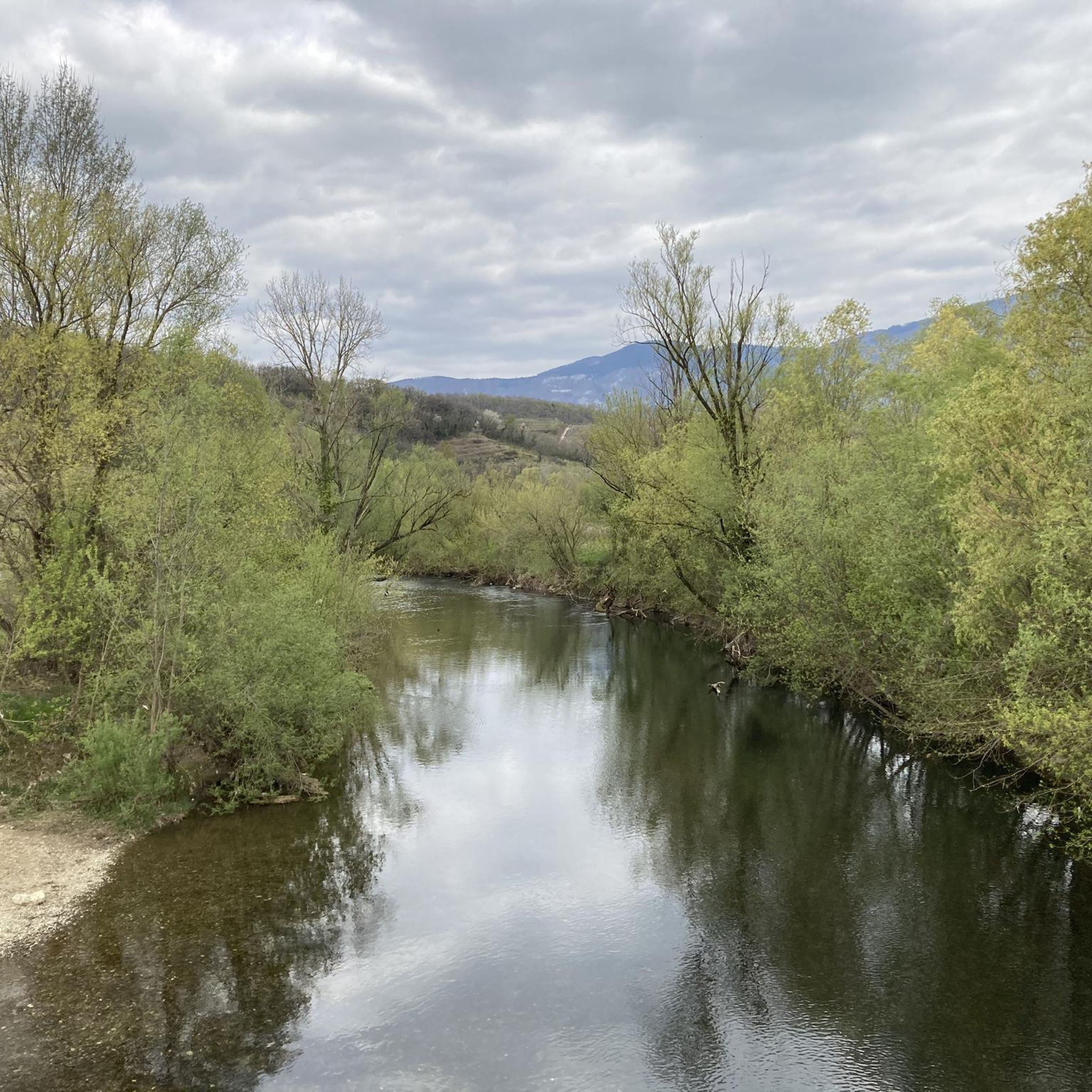
Easy hikes around Unterkohlstätten
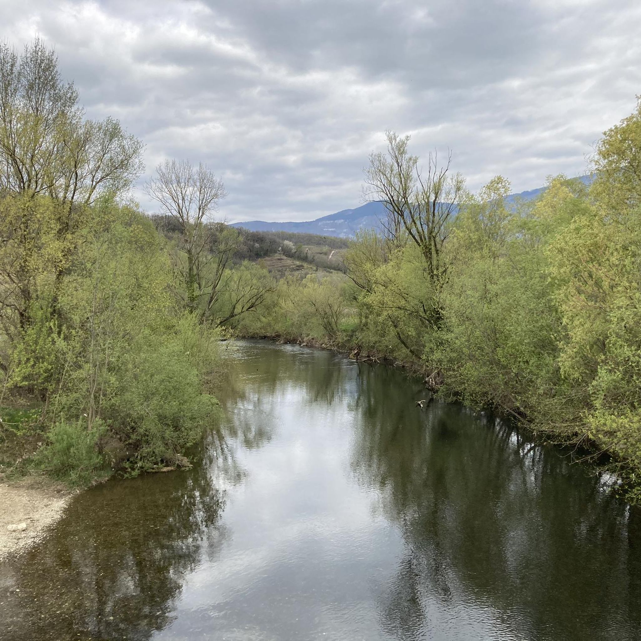
Easy hikes around Weiden bei Rechnitz

Easy hikes in Großdickicht

Easy hikes around Schandorf

Easy hikes around Badersdorf

Easy hikes around Schandorfer Forest
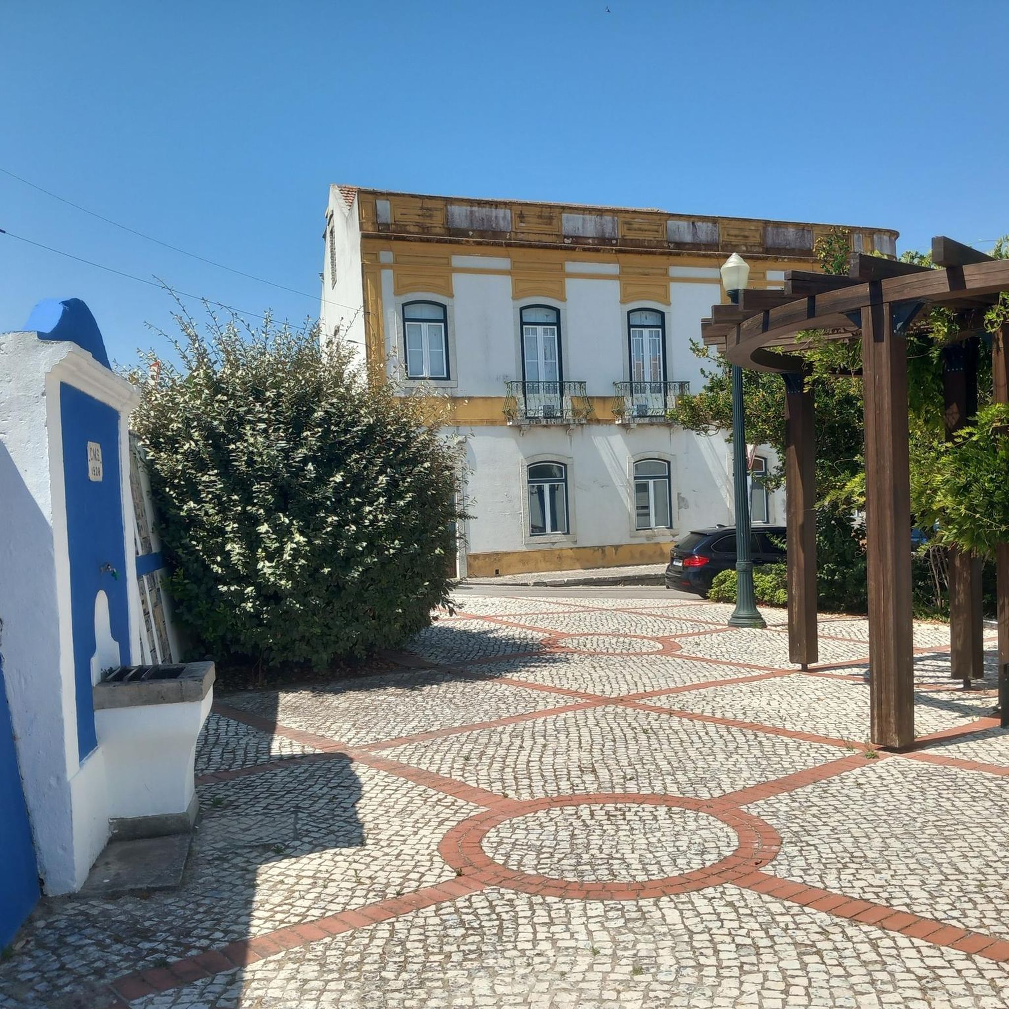
Easy hikes around Mariasdorf
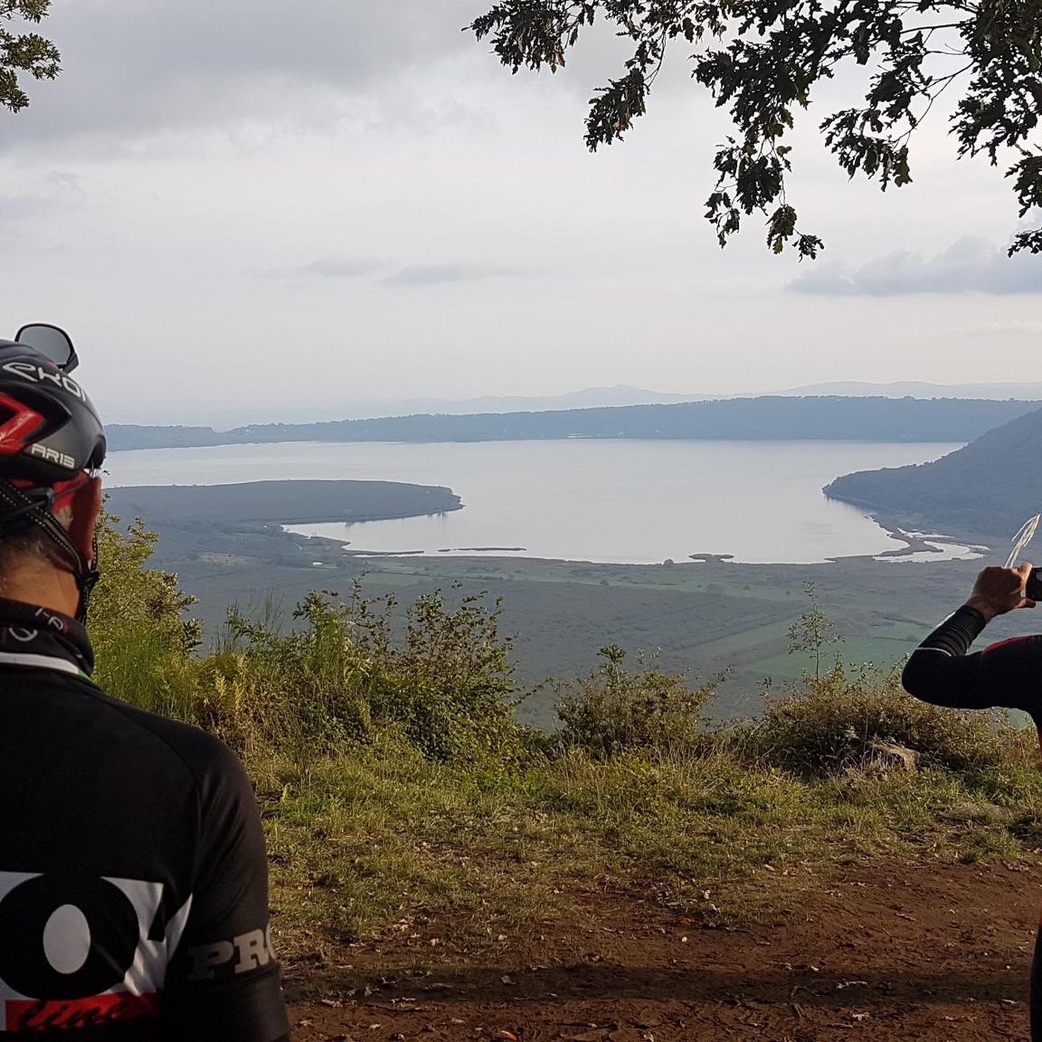
Easy hikes around Bernstein
Easy hikes around Litzelsdorf
Easy hikes around Stadtschlaining
Other adventures in Bezirk Oberwart


Tips from the Community

Unfortunately already closed for a long time :-(
0
0

A beautifully maintained labyrinth. It's fun to find the way. In the immediate vicinity, you will also find many seating areas in the spa park.
0
0

The modern summit cross stands a short distance from the highest point of the Geschriebenstein, where the popular viewing tower is enthroned instead. It is made of aluminum, firmly anchored to a rock, and can be reached relaxed during a leisurely hike through the nature park. Incidentally, the border between Austria and Hungary runs directly over this historic border point.
2
0
At the Geschriebenstein Pass summit in the district of Oberpullendorf, the local chapel serves as a well-known and popular starting point for excursions into nature. Directly after the small house of worship, numerous hiking trails and mountain bike trails begin. In addition, the impressive state memorial of Burgenland, which architecturally also resembles a chapel, is located very close by.
1
0
The Geschriebenstein pass height is located at 802 meters above sea level in the Günser Gebirge mountains and connects the towns of Lockenhaus and Rechnitz as a road crossing. At the same time, this crossing serves as a perfect and popular starting point for leisurely hikes and bike tours up to the nearby summit of the Geschriebenstein, which at around 882 to 884 meters represents the highest elevation in Burgenland. Directly on site, the state memorial, designed in 1961, also commemorates the victims of the two world wars.
1
0
The Head Trail directly at the summit of the Geschriebenstein is a brilliant entry-level trail for the whole family and all mountain bike fans. While the upper section with some stones and roots is still a bit more technical, from the middle onwards you roll along absolutely relaxed and child-friendly. The route is perfectly suited for warming up on the highest mountain in Burgenland before venturing into more demanding downhill adventures.
1
0
The Burgenland Trails parking lot Ranch is considered the central main starting point for the popular mountain bike trails around the Geschriebenstein. There you will find plenty of parking spaces for your car, and the official shuttle for bikers also ends there. From this spot, you can start directly into crisp downhill descents like the Rechnitz Trail or head upwards.
1
0
The Protestant "Church of Peace" (Friedenskirche) in Bad Tatzmannsdorf was built according to the plans of the architect couple Karl and Charlotte Pfeiler and consecrated on October 20, 1968. The architectural concept is driven by the idea of affirming God's creation and the church's openness to the world. The organ was built by the Upper Austrian Organ Building Company St. Florian and handed over in 1971. The three bells (cast in 1921) with the inscriptions "Faith", "Hope" and "Love" are a gift from the Protestant community of Enzweihingen (near Stuttgart) and call people to prayer from the free-standing bell tower. Source: https://evang.at/adressen/bad-tatzmannsdorf-friedenskirche/
0
0
Frequently Asked Questions
How many easy hiking trails are available in Bezirk Oberwart?
Bezirk Oberwart offers over 250 easy hiking trails, forming a significant part of the region's total network of more than 500 routes. These trails are well-suited for various ability levels, including families.
What is the best time of year for easy hikes in Bezirk Oberwart?
The best seasons for easy hiking in Bezirk Oberwart are spring and autumn. During these times, the weather is mild, and nature is at its most vibrant, with blooming flowers in spring and colorful forests in autumn. This provides an ideal backdrop for exploring the region's diverse landscapes.
Are there family-friendly easy hiking trails in Bezirk Oberwart?
Yes, many easy trails in Bezirk Oberwart are perfect for families. For example, the Biotope Pond – Cretan Labyrinth loop from Bad Tatzmannsdorf is a 3.2-mile (5.2 km) route that is popular with families, offering an engaging walk through the spa park area.
Can I bring my dog on easy hikes in Bezirk Oberwart?
Most easy hiking trails in Bezirk Oberwart are dog-friendly, but it's always recommended to keep your dog on a leash, especially in nature protection areas or near wildlife. The varied terrain, from forests to open fields, provides a great environment for walks with your canine companion.
Are there easy circular hiking routes in the region?
Yes, many easy trails in Bezirk Oberwart are circular, allowing you to start and end at the same point. A popular option is the Bad Tatzmannsdorf Spa Park – Cretan Labyrinth loop from Bad Tatzmannsdorf, which is 3.8 miles (6.2 km) long and explores the spa park and its unique labyrinth.
What kind of scenic views or attractions can I expect on easy trails?
Easy trails in Bezirk Oberwart offer diverse scenery, from rolling hills and dense forests to picturesque vineyards. You can find routes with scenic viewpoints like the Geschriebenstein Observation Tower (Írottkő Lookout), or explore cultural highlights such as Schlaining Castle. The View of Bad Tatzmannsdorf – Bad Tatzmannsdorf Spa Park loop from Bad Tatzmannsdorf offers lovely vistas of the town and surrounding nature.
What is the typical length and duration of easy hikes in Bezirk Oberwart?
Easy hikes in Bezirk Oberwart typically range from 3 to 4 miles (5 to 6.5 km) in length, with an average duration of 1.5 to 2 hours. For instance, the Café Postkastl – Rock Museum Bernstein loop from Bernstein is about 3.6 miles (5.8 km) and takes around 1 hour 40 minutes.
Are there easy trails that explore the region's vineyards?
Yes, Bezirk Oberwart features beautiful vineyard landscapes, particularly around Eisenberg and Deutsch Schützen. The Weinblick Observation Platform – Weinblick Viewing Platform loop from Eisenberg an der Pinka is an excellent easy route that takes you through these scenic wine-growing areas, offering lovely views.
Can I find easy trails near the Geschriebenstein Massif?
Absolutely. While the Geschriebenstein is the highest point in Burgenland, there are easy trails that allow you to experience its surroundings. The Geschriebenstein Pass summit loop from Geschriebenstein / Írott-kő is an easy 2.3-mile (3.7 km) route that offers a taste of the massif's natural beauty and leads to the Geschriebenstein Summit Cross.
What do other hikers say about the easy trails in Bezirk Oberwart?
The easy trails in Bezirk Oberwart are highly rated by the komoot community, with an average score of 4.6 stars from over 900 reviews. Hikers often praise the tranquil environments, well-marked paths, and the diverse scenery, from spa parks to forests and vineyards. Over 5,800 hikers have used komoot to explore the region's varied terrain.
Are there places to eat or drink near the easy hiking trails?
Yes, many towns and villages in Bezirk Oberwart, such as Bad Tatzmannsdorf and Bernstein, offer cafes and restaurants conveniently located near hiking trails. You can often find places to refresh yourself after a walk, especially in areas known for their spa facilities or vineyards.
Are there easy hikes accessible by public transport in Bezirk Oberwart?
While many trails are best accessed by car, some areas in Bezirk Oberwart offer public transport options. It's advisable to check local bus schedules for specific routes, especially those starting from larger towns like Oberwart or Bad Tatzmannsdorf, to see which trails are within easy reach.
Is it possible to hike easy trails in Bezirk Oberwart during winter?
Yes, easy trails in Bezirk Oberwart can be hiked in winter, provided conditions are safe. The rolling hills and forests offer a peaceful winter landscape. Always check weather conditions and trail reports beforehand, and ensure you have appropriate footwear and clothing for potentially icy or snowy paths.
Most popular routes in Bezirk Oberwart
Most popular attractions in Bezirk Oberwart

Get inspired with the komoot mobile app


Didn’t find what you were looking for?
Check out more Hikes throughout Bezirk Oberwart below and find the perfect route in your destination.
Explore more
Browse the best Hikes in other regions.
