Easy hikes and walks in the San Juan Mountains
4.8
(207)
4,487
hikers
413
hikes
Hiking in the San Juan Mountains offers access to a rugged range characterized by high-altitude peaks, alpine lakes, and diverse ecosystems. The terrain includes deep river valleys, glaciated U-shaped valleys, and high-altitude basins. Flora varies from piñon-juniper woodlands at lower elevations to spruce-fir forests and alpine wildflowers above the treeline. Vast national forests and wilderness areas protect much of this landscape, providing extensive trail networks.
Best easy hiking trails in the San Juan Mountains
- The most popular easy hiking route is Bridal Veil Falls, Black Bear Pass Loop, a 2.7 miles (4.3 km) trail that takes 1 hour 29 minutes to complete. This route offers views of Colorado's tallest waterfall.
- Another top favourite among local hikers is Bear Creek Trail, an easy 2.2 miles (3.6 km) path. This trail leads through varied terrain, often alongside a creek.
- Local hikers also love the Keystone Gorge Loop Trail, a 1.9 miles (3.1 km) trail leading through a gorge, often completed in about 1 hour 1 minute.
- Hiking in the San Juan Mountains is defined by high-altitude peaks, pristine alpine lakes, and diverse forest ecosystems. The network offers easy hiking trails suitable for various ability levels.
- The routes in San Juan Mountains are highly rated by the komoot community with an average score of 4.9 stars from over 180 reviews. More than 3,700 hikers have used komoot to explore San Juan Mountains's varied terrain.
Last updated: October 11, 2026
4.5
(2)
99
hikers
4.28km
01:29
260m
250m
Embark on the Bridal Veil Falls, Black Bear Pass Loop, an easy 2.7-mile (4.3 km) hike that guides you through varied terrain, including some rocky sections. You will gain 853 feet (260 metres) in elevation, and the route typically takes about 1 hour and 29 minutes to complete. The highlight is undoubtedly Colorado's tallest free-falling waterfall, the 365-foot Bridal Veil Falls, which you can admire from a dedicated viewpoint and trailhead. This loop offers a rewarding journey through the natural beauty of Uncompahgre National Forest.
When planning your visit, aim for the period between May and October; October is particularly scenic with its vibrant fall colors. Be aware that parts of the Black Bear Pass road are shared with 4x4 vehicles, so stay alert to your surroundings. Due to the rocky sections and steady uphill climbs, wearing sturdy hiking shoes is essential for your comfort and safety on the trail.
Beyond the stunning waterfall, this route also features the historic 1907 Smuggler-Union Hydroelectric Power Plant, perched above the falls. This landmark provides panoramic views of the Telluride valley and the majestic San Juan Mountains. The combination of natural wonder and historical significance makes this loop a unique experience in the region, offering more than just a beautiful hike.
19
hikers
3.10km
01:01
140m
140m
Embark on an easy hike along the Keystone Gorge Loop Trail, a 1.9-mile (3.1 km) route that takes you through picturesque aspen and fir forests. You will follow the San Miguel River as it flows alongside the path, enjoying views of pine trees and crossing two scenic bridges. This loop involves a gentle ascent of 457 feet (139 metres) and typically takes around 1 hour and 1 minute to complete, offering a refreshing outdoor experience.
When planning your visit, be aware that parking can be limited, especially during peak times, so arriving early is recommended to secure a spot. This trail is located within Uncompahgre National Forest, and due to its designation as a wildlife corridor, pets are not allowed on the route. Check local conditions before you go to ensure the best experience.
As you hike, keep an eye out for a series of waterfalls and unique perspectives of the river from old mine sites along the way. The trail also offers glimpses of distant peaks like Wilson Peak and Ilium, providing a sense of the broader mountain landscape. This route stands out for its combination of river scenery, forest immersion, and historical remnants.

7
hikers
3.59km
01:04
0m
320m
Embark on the Bear Creek Trail, an easy 2.2 miles (3.6 km) hiking route that offers a gentle escape into nature. You will experience minimal elevation gain, just 1 feet (0 metres), making it a very accessible walk for all skill levels. The trail winds through areas with aspen trees, providing a pleasant atmosphere as you hike. Expect wide, well-marked paths, though some sections may have uneven terrain with small rocks. As you progress, you will find panoramic views of the valley and Telluride, culminating in the scenic Bear Creek Falls at the trail's end. This route typically takes about 1 hours and 4 minutes to complete, perfect for a refreshing outing.
Planning your visit to the Bear Creek Trail is straightforward, as parking is generally available close to the trailhead, ensuring convenient access. This makes it easy to start your hike without hassle. The route is suitable for most of the year, though checking local conditions before you go is always a good idea. Since it is an easy and relatively short trail, you can enjoy it at various times of the day, perhaps as a morning stroll or an afternoon walk. No specific permits or fees are mentioned for this trail, allowing for spontaneous trips into the Uncompahgre National Forest. Consider visiting during the shoulder seasons for fewer crowds and pleasant weather.
Located within the vast Uncompahgre National Forest, the Bear Creek Trail offers more than just a pleasant walk; it provides a glimpse into the natural beauty of the region. Keep an eye out for the distinctive Stone Cairns scattered throughout the forest, which add a unique, almost artistic touch to your journey. This trail is a popular choice for those seeking a tranquil experience without demanding physical exertion, making it a local favorite. Its proximity to Telluride also means you can easily combine your hike with exploring the charming mountain town. The route serves as an excellent introduction to the area's diverse landscapes and outdoor opportunities.
3
hikers
5.37km
01:37
130m
250m
The Lions Den Trail offers a delightful escape into nature, showcasing diverse terrain from mulched paths through dense cedar and hardwood forests to boardwalks and crushed limestone sections. You'll be treated to breathtaking views of Lake Michigan from 90 to 100-foot bluffs, and the unique experience of descending into the Lion's Den Gorge to a secluded beach where a creek flows into the lake. It's an easy 3.3-mile (5.4 km) hike with 442 feet (135 metres) of elevation gain, typically taking about 1 hour and 37 minutes.
Planning your visit is straightforward, as the trail is well-maintained and generally considered family-friendly. While much of the route is flat, be ready for numerous stairs that add a moderate challenge, especially when descending to and ascending from the beach. The preserve is popular, so arriving earlier in the day is a good idea, and while spring can be muddy, fall offers stunning foliage.
This trail stands out for its dramatic bluffs and unique access to a Lake Michigan beach within a gorge, making it a cherished natural gem near Milwaukee. The diverse habitats attract migratory birds, offering excellent birdwatching opportunities, and the blend of forest, bluff, and beach environments provides a rich outdoor experience.
3
hikers
6.25km
01:54
190m
200m
Embark on the Box Canyon, West Mancos, and Rim Trail Loop for an easy hiking experience through varied terrain in the San Juan National Forest. This route covers 3.9 miles (6.3 km) with an elevation gain of 627 feet (191 metres), typically taking around 1 hours and 53 minutes to complete. You will descend into Box Canyon on narrow, rocky switchbacks, then follow the West Mancos River, where you can enjoy green vegetation and summer wildflowers before climbing back to the rim. From the Rim Trail, you can take in expansive views, including distant glimpses of Hesperus Peak and the La Plata Mountains.
When planning your visit, be aware that the trail is in a remote area, and you should not expect cell service. It is a good idea to carry a preloaded GPS route and a physical map, as some parts of the Box Canyon Trail can be tricky to follow. While rated easy overall, the steep and rocky sections, especially the descent into Box Canyon, might be challenging for some, so consider bringing hiking poles for added stability. The area is part of the Transfer Recreation Area, which offers additional trails and campgrounds if you wish to extend your outdoor adventure.
This loop provides a straightforward way to explore the natural beauty of the San Juan National Forest. The contrast between the shaded canyon floor along the West Mancos River and the open vistas from the rim makes for a dynamic hiking experience. The trail's design allows you to immerse yourself in different microclimates and landscapes within a relatively short distance. It is a great option for those looking for a manageable hike with diverse scenery and rewarding views.
2
hikers
3.38km
01:09
190m
130m
Embark on the Up and Over Trail, an easy hike that guides you through varied landscapes. You will begin with an uphill climb across a barren hillside before entering a refreshing forested area. The route offers scenic views across the valley and the town of Creede, especially from a wonderful lookout point. This 2.1-mile (3.4 km) journey involves gaining 609 feet (186 metres) in elevation. Expect to complete the hike in about 1 hour and 8 minutes, enjoying the natural beauty of the San Juan Mountains as you descend towards East Willow Creek.
The Up and Over Trail is a popular choice if you are looking for an afternoon hike. Accessing the trailhead and finding parking are generally straightforward, making it easy to begin your adventure. This route offers a unique perspective of the valley and Creede. Consider starting in the afternoon to enjoy the changing light over the landscape. It is a great option for a quick outdoor escape.
Located within the vast Rio Grande National Forest, this trail provides a rewarding experience for casual hikers. It stands out as an accessible way to appreciate the natural beauty of the region without requiring extensive time or effort. The path's design allows you to experience both open hillsides and dense forest, showcasing the diverse ecosystems of the San Juan Mountains. It is a perfect introduction to the area's scenic offerings.
2
hikers
3.02km
00:50
50m
40m
Embark on an easy hike along the Cascade Creek Trail, a pleasant route that stretches for 1.9 miles (3.0 km). You will experience a gentle ascent, gaining 173 feet (53 metres) in elevation, which typically takes around 49 minutes to complete. The path winds through towering pine trees and opens up into high mountain meadows, offering picturesque views of Cascade Creek as it flows alongside. Keep an eye out for beautiful waterfalls along the way, including a specific overlook that provides a great vantage point. You will also find lush, green vegetation and an abundance of wildflowers, creating a varied and enjoyable experience.
When planning your visit, be aware that the access road leading to the trailhead can be quite rocky in places. A 4WD vehicle may be necessary to reach the starting point comfortably. This trail tends to see less foot traffic compared to other popular high-country routes in the area, offering a more serene experience. Consider checking local conditions before you head out to ensure a smooth journey to the trailhead.
This trail offers a wonderful opportunity for a quick outdoor escape into the San Juan National Forest. It stands out for its serene atmosphere and natural beauty, providing a peaceful alternative to more crowded destinations. The combination of dense forest, open meadows, and the constant presence of the creek makes it a distinctive and refreshing option for anyone looking to connect with nature.
2
hikers
4.27km
01:20
150m
150m
The Waterfall Creek Trail offers a delightful, easy hike through the scenic landscapes near Ophir, Colorado. While specific visual landmarks are not widely documented for this particular route, you can anticipate a pleasant journey through the natural environment of San Miguel County. The trail's gentle nature makes it an inviting option for a relaxing stroll, allowing you to immerse yourself in the quiet beauty of the region.
Planning your visit to the Waterfall Creek Trail is straightforward, as it's easily accessible from Ophir. This 2.7-mile (4.3 km) route, with its modest 483 feet (147 metres) of elevation gain, can be completed in about 1 hour and 19 minutes. It's a great choice for a quick escape, and its easy difficulty means it's suitable for most hikers, including families looking for a short adventure.
This trail provides a low-key alternative to more strenuous options in the area, perfect for those seeking a tranquil experience without significant physical demands. Its less popular status means you're likely to find a peaceful atmosphere, making it ideal for wildlife spotting or simply enjoying the solitude of nature. Consider it for a refreshing break during your time in the Colorado mountains.
1
hikers
4.07km
01:05
0m
100m
The Galloping Goose offers an easy hike through the Grand Mesa, Uncompahgre and Gunnison National Forests. This route provides a pleasant, straightforward walk, covering 2.5 miles (4.1 km) with a minimal elevation gain of just 14 feet (4 metres). You can comfortably complete the trail in about 1 hour and 4 minutes. As you go, look out for views of the surrounding mountains and forests, and keep an eye open for local wildlife that often appears along the way.
Planning your visit to the Galloping Goose is generally easy, as the trail is widely accessible. Parking is typically available at trailheads within national forests, so you should find a spot without much trouble. However, it's always a good idea to check local signage upon arrival for any specific instructions. There are no particular warnings about seasonal closures or permits mentioned for this route, allowing for flexible planning.
This trail stands out as a great option for those seeking a relaxed outdoor experience within the Colorado national forests. Its easy difficulty makes it suitable for many hikers, offering a chance to connect with nature without strenuous effort. The region is known for its natural beauty, and this route provides a taste of the area's characteristic mountain and forest landscapes.
1
hikers
1.89km
00:32
60m
0m
The Junction Creek Trail offers a delightful, easy stroll through lush forests right outside Durango, following the scenic Junction Creek. It's a fantastic option for a quick nature fix, providing a serene escape with picturesque views of the creek and its shallow pools, especially vibrant with golden leaves in the fall. This trail is a popular choice for families and dog walkers seeking a gentle introduction to the outdoors.
Accessing the trail is straightforward from the Junction Creek Campground Trailhead, making it a convenient option for a spontaneous outing. While it's generally accessible year-round, remember that water sources can be limited further along the path, and it's wise to be aware of potential flash floods in flood plains during certain seasons. Arriving early is recommended, as this popular trailhead can fill up quickly.
This segment is notable as the southern terminus of the epic 486-mile Colorado Trail, offering a glimpse into one of the country's most renowned long-distance routes. Despite its proximity to Durango, the trail maintains an
Get access to more routes and recommendations from other explorers.
Already have an account?
Our route recommendations are based on thousands of hikes, rides, and runs completed by other people on komoot.
Start today with a free account
Your next adventure awaits.
Popular around San Juan Mountains

Colorado Trail — The pinnacle of wild Colorado
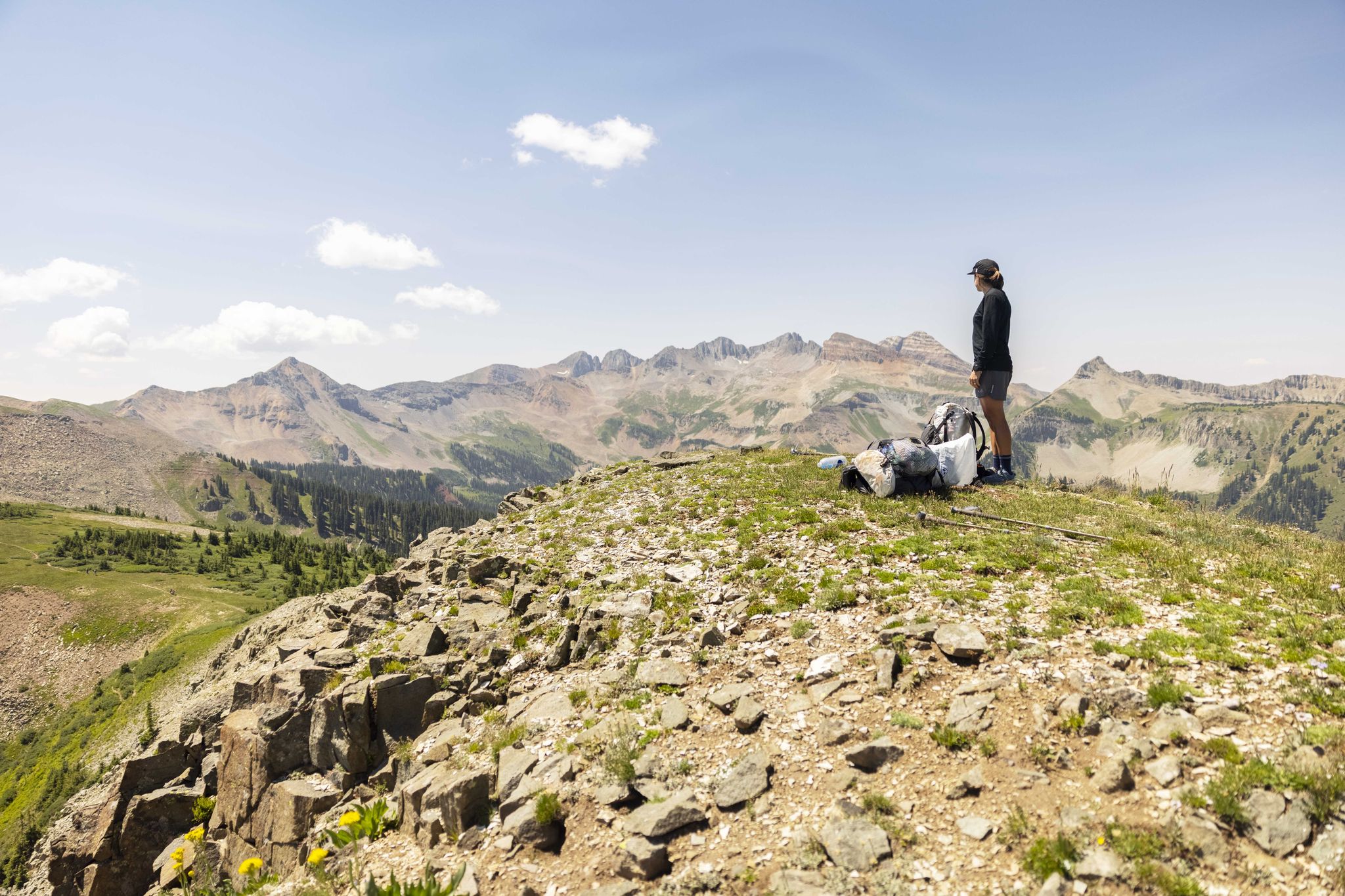
The Colorado Trail — Hiking from Silverton to Durango

The Continental Divide Trail — Across the sky of America

The Colorado Trail — Ten incredible days in the Rocky Mountains
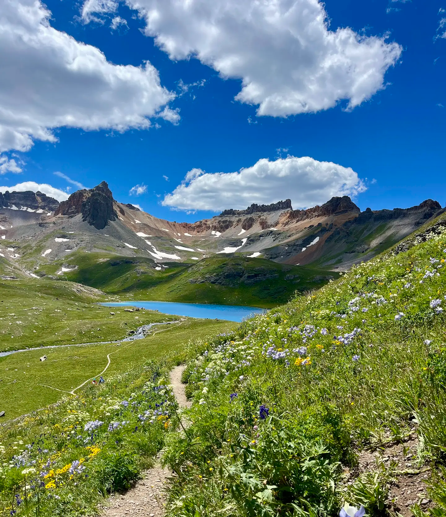
Softrock 100: Four Days Through Colorado’s Alpine Wilds
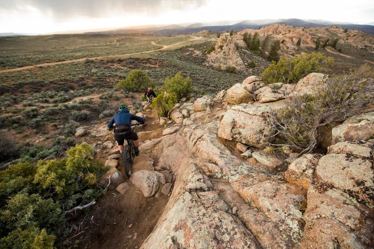
Hartman Rocks – rocky desert trails in Gunnison, Colorado
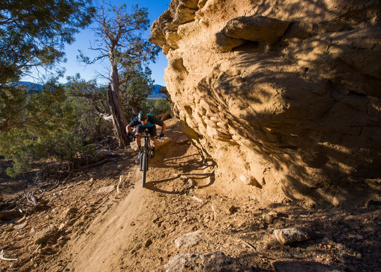
Unforgettable MTB adventures in Colorado's south-west
Other adventures in the San Juan Mountains


Tips from the Community

A meeting point where the forested Bear Creek Trail connects with the steeper Ballard climb. It’s a good spot to pause, refill energy, and decide whether to continue deeper into the canyon or push higher toward alpine views.
0
0

At the southern terminus of the Colorado there is a parking lot for about 20 cars. It’s quite a popular trailhead, so it will not be hard to get a ride into Durango if you need it. There is a pit toilet and a trail sign with map for the Colorado Trail and the area.
1
0

The southern terminus of the Colorado Trail is located at the Junction Creek Trailhead, 4.5 miles northwest of downtown Durango. The Colorado Trail is maintained by the Colorado Trail Foundation, a nonprofit organization.
0
0

Junction Creek Campground is located at the start of the Colorado Trail, as well as the Logchute Trail System, so this makes for an ideal basecamp for a few days of running. The campground offers single- and double-family sites, as well as group sites. It also provides vault toilets and drinking water.
0
0

From here you get a great view of Animas City Mountain, the Animas River, and north Durango. You can park here to access the Rim trail or just stop and admire the view.
0
0
From here you can access the trails behind the ice rink which lead up to the Rim Trail, Lion's Den, and the Peter Carver Geology Overlook.
0
0
The town of Ophir is in the heart of the San Juan Mountains and gets its name from a place mentioned in the Hebrew Bible. It's a former mining town & now a community of outdoor enthusiasts.
0
0

That's the purpose of the hike. A little bit of freshness it can't hurt.
1
0
Frequently Asked Questions
How many easy hiking trails are available in the San Juan Mountains?
The San Juan Mountains offer a wide selection of easy hiking trails, with over 130 routes specifically categorized as easy. In total, there are nearly 400 hiking routes across various difficulty levels in the region.
What kind of scenery can I expect on easy hiking trails in the San Juan Mountains?
Easy trails in the San Juan Mountains often lead through diverse landscapes, from piñon-juniper woodlands and aspen groves to spruce-fir forests. You can expect views of rugged peaks, deep river valleys, and glaciated U-shaped valleys. Many trails also offer glimpses of alpine lakes and waterfalls, showcasing the region's dramatic high-altitude beauty.
Are there any easy loop trails in the San Juan Mountains?
Yes, there are several easy loop trails. For instance, the Keystone Gorge Loop Trail is a popular 1.9-mile (3.1 km) route that takes you through a scenic gorge. Another option is the Box Canyon, West Mancos, and Rim Trail Loop, which is a longer 3.9-mile (6.3 km) easy loop.
Can I bring my dog on easy hiking trails in the San Juan Mountains?
Many trails in the San Juan Mountains are dog-friendly, especially those within national forests. However, regulations can vary, particularly in wilderness areas or specific parks. It's always best to check local signage or the specific trail's guidelines before heading out with your pet. Always keep dogs on a leash and practice Leave No Trace principles.
Are these easy trails suitable for families with children?
Absolutely. The easy hiking trails in the San Juan Mountains are generally well-suited for families. Routes like the Bear Creek Trail (2.2 miles / 3.6 km) or the Junction Creek Trail (1.2 miles / 1.9 km) offer manageable distances and minimal elevation gain, making them enjoyable for all ages. Many trails feature natural attractions like creeks or viewpoints that can keep children engaged.
What natural attractions can I see along easy hiking trails?
Many easy trails lead to or offer views of stunning natural attractions. For example, the Bridal Veil Falls, Black Bear Pass Loop provides views of Colorado's tallest waterfall. Other trails might bring you close to beautiful lakes like Ice Lake or Little Molas Lake, or offer scenic viewpoints such as the View of Bridal Veil Falls and the power plant.
What is the best time of year for easy hiking in the San Juan Mountains?
The best time for easy hiking in the San Juan Mountains is typically from late spring through early fall (May to October). During these months, trails are generally free of snow, and the weather is milder. Summer brings vibrant wildflowers, while fall offers spectacular autumn foliage. Always check current weather and trail conditions before you go, as high-altitude areas can experience sudden changes.
What are the typical elevations and terrain like on easy trails?
Even easy trails in the San Juan Mountains can be at higher elevations, as the region is known for its high-altitude peaks. However, easy routes are selected for their manageable elevation gain and generally well-maintained paths. The terrain can vary from forest floors and riverside paths to open meadows, often with a mix of dirt, gravel, and some rocky sections. Expect gradual inclines rather than steep climbs.
Where can I find parking for easy hiking trails in the San Juan Mountains?
Parking is generally available at trailheads, especially near popular routes or outside towns like Telluride, Ouray, Silverton, and Durango. These towns serve as excellent bases for exploration. It's advisable to arrive early, especially on weekends or during peak season, as parking lots can fill up quickly. Some areas may have designated parking fees or require permits.
What do other hikers enjoy most about the easy trails in the San Juan Mountains?
The easy trails in the San Juan Mountains are highly rated by the komoot community, with an average score of 4.9 stars from over 180 reviews. Hikers often praise the stunning natural beauty, the accessibility of breathtaking views without extreme effort, and the variety of landscapes encountered, from lush forests to dramatic waterfalls.
Are there any easy trails that feature waterfalls?
Yes, the San Juan Mountains are home to several impressive waterfalls accessible via easy trails. The Bridal Veil Falls, Black Bear Pass Loop offers views of Colorado's tallest waterfall. You can also find other waterfalls like Canyon Creek Bridge and Falls and Lower Cascade Falls, which are often part of or near easy routes.
What towns are good bases for exploring easy trails in the San Juan Mountains?
Charming historic mining towns like Telluride, Ouray, Silverton, and Durango are excellent starting points for exploring easy trails. These towns are nestled within or on the cusp of the mountains and provide amenities, accommodation, and often direct access to trailheads. They also offer scenic drives like the San Juan Skyway for further exploration.
Are permits required for easy hikes in the San Juan Mountains?
Generally, permits are not required for day hikes on most easy trails within the San Juan National Forest or other public lands. However, some specific wilderness areas or popular trails might have different regulations, especially for overnight stays or during peak seasons. It's always a good idea to check with the local Forest Service office or park authority for the most current information regarding permits or fees for your chosen trail.
Most popular routes in the San Juan Mountains
Most popular attractions in the San Juan Mountains

Get inspired with the komoot mobile app


Explore more
Browse the best Hikes in other regions.
