Routes

Planner

Features

Updates

App

Login or Signup

Get the App

Login or Signup

Routes
Hikes
Canada
British Columbia

Coast Mountains

Easy hikes and walks in the Coast Mountains

4.6

(3421)

38,911

hikers

1,044

hikes

Easy hiking trails in the Coast Mountains traverse a diverse landscape characterized by volcanic and non-volcanic peaks, extensive ice fields, and proximity to the Pacific Ocean. This region features a continuous sequence of mountain ranges, including some of British Columbia's highest elevations. Hikers can encounter dramatic geological formations, such as canyons and impressive waterfalls, alongside varied ecosystems that blend coastal and alpine environments. The terrain offers a mix of forest paths, lake loops, and trails with views of towering mountains and ocean vistas.

Best easy hiking trails in the Coast Mountains

  • The most popular easy hiking route is Ward Lake Nature Trail, a 1.9 miles (3.0 km) trail that takes 47 minutes to complete. This route offers a gentle path around Ward Lake, suitable for a short, accessible outing.
  • Another top favourite among local hikers is Perseverance Lake Trail, an easy 2.5 miles (4.1 km) path. This trail leads through forested areas to Perseverance Lake, providing a tranquil natural setting.
  • Local hikers also love the Point Bridget Trail, a 3.5 miles (5.6 km) trail leading through coastal forest and offering views of the water, often completed in about 1 hour 30 minutes.
  • Hiking in the Coast Mountains is defined by diverse mountainous terrain, extensive glacial features, and spectacular waterfalls, with options for various ability levels.
  • The routes in Coast Mountains are highly rated by the komoot community with an average score of 4.6 stars from over 3,200 reviews. More than 35,000 hikers have used komoot to explore Coast Mountains's varied terrain.

Last updated: July 17, 2026

7

hikers

#1.

Ward Lake Nature Trail

2.99km

00:48

30m

30m

Embark on an easy hike along the Ward Lake Nature Trail, a gentle loop that winds through the vibrant temperate rainforest of Tongass National Forest. You will follow the shoreline of Ward Lake, enjoying serene views of the water framed by peaks such as Brown Mountain. This accessible route covers 1.9 miles (3.0 km) with a minimal elevation gain of 92 feet (28 metres), making it a perfect quick escape that takes approximately 47 minutes to complete.

When planning your visit, note that parking is available near the trailhead. You will find an outhouse there, and during the summer months, fresh drinking water is accessible from a pump. Be aware that Ward Lake's water levels can fluctuate significantly due to rainfall and snowmelt; this sometimes causes flooding on the south side of the trail. If you encounter flooded sections, you can use the adjacent road as an alternative path to continue your journey.

This trail offers a unique opportunity to immerse yourself in the local ecosystem. Keep an eye out for diverse wildlife, including bald eagles soaring overhead and salmon migrating in Ward Creek during the fall season. Informative signs placed along the path provide insights into the area's natural features and rich history, enhancing your understanding of this beautiful Alaskan landscape.

Navigate with device

Send to Phone

Save

Easy

5.0

(1)

5

hikers

2.32km

00:38

40m

40m

Embark on the easy Ketchikan Salmon Walk, a scenic route that guides you through the heart of Ketchikan. This hike covers 1.4 miles (2.3 km) with a gentle elevation gain of 124 feet (38 metres), taking approximately 38 minutes to complete. As you stroll, you will experience a blend of natural beauty and local charm, passing by historic Creek Street with its distinctive colorful buildings and the lush temperate rainforest environment.

This accessible trail is conveniently located and easily reached from downtown Ketchikan and the cruise ship docks, making it a perfect option for visitors. The paths are generally easy to navigate, requiring only comfortable walking shoes to enjoy the experience fully. You will find interpretive panels placed along the way, offering insights into the area's history and ecology.

The highlight of this route is the opportunity to observe salmon migrating upstream, particularly near the salmon ladder during mid to late summer. The trail provides a unique glimpse into the natural cycle of these fish, set against the backdrop of Ketchikan's vibrant culture. It offers a memorable way to connect with both the wildlife and the historical essence of the region.

Easy
guide_signup
Let us show you the way with the komoot mobile app
With a free komoot account, you can easily find, customize, and navigate endless outdoor adventures.

Sign up for free

4

hikers

5.64km

01:30

50m

70m

Embark on an easy hike along the Point Bridget Trail, a 3.5-mile (5.6 km) route that guides you through a diverse Alaskan landscape. You will experience a gentle ascent of 171 feet (52 metres) over approximately 1 hour and 30 minutes, making this trail accessible for many. As you walk, you'll pass through mature forests filled with large Sitka spruce trees and alongside tranquil beaver ponds, eventually reaching stunning coastal views of Lynn Canal and the Chilkat Mountains.

When planning your visit, be prepared for potentially muddy sections, especially after rainfall or during spring, and watch for uneven surfaces caused by tree roots. The trail is popular throughout the year; in winter, you can enjoy cross-country skiing or snowshoeing. Always be aware of your surroundings, as the park is known for its wildlife, including bears, particularly when salmon are spawning from June to October.

Point Bridget State Park offers a remarkable variety of ecosystems within a single trail, transitioning from packed gravel paths to rainforest muskeg and vibrant wildflower meadows. This area is a prime location for spotting diverse wildlife, adding an exciting element to your outdoor adventure. The trail's blend of forest, wetlands, and coastal scenery makes it a notable and rewarding experience in the region.

Easy

2

hikers

5.44km

01:41

180m

160m

Embark on an easy 3.4-mile (5.4 km) hike along the Sturgill's Landing Trail, a route that guides you through temperate forests and offers scenic views. You will gain 589 feet (179 metres) in elevation over approximately 1 hour and 41 minutes of walking. The path often runs alongside Lower Dewey Lake, providing tranquil waterside scenery before you begin a gentle ascent. As you climb, you'll discover rewarding viewpoints that look out over Skagway. The trail then follows the shoreline of Taiya Inlet, leading you to the peaceful Sturgill's Landing.

Accessing the trail is straightforward, with parking typically available at the Dewey Lake Trailhead, which marks the beginning of your journey. The route is generally well-maintained, ensuring a pleasant hiking experience. However, be aware that the final descent to Sturgill's Landing can become rocky, so exercise caution, especially if the ground is wet. Wearing sturdy shoes is highly recommended to navigate the uneven terrain comfortably and safely.

This trail offers a unique opportunity to immerse yourself in the natural beauty of Tongass National Forest. The highlight of your hike is reaching Sturgill's Landing, where you can enjoy expansive views of Mt. Harding and the Harding Glacier across the water. This serene cove is also a prime location for spotting local wildlife, adding an extra layer of discovery to your outdoor adventure. It's a perfect choice for those seeking a peaceful escape with diverse landscapes.

Easy

3

hikers

3.68km

01:14

290m

10m

Embark on the Perseverance Trail for an easy hike through a lush temperate rainforest, where vibrant mosses and dense undergrowth create a captivating atmosphere. You will follow Gold Creek, enjoying views of towering trees and the impressive Ebner Falls, a glacier-fed waterfall. As you ascend, the path opens up to panoramic vistas of the glacier-carved wilderness, including Mount Juneau and Mount Roberts. This route covers 2.3 miles (3.7 km) with an elevation gain of 945 feet (288 metres), typically taking around 1 hour and 13 minutes to complete.

The trail is very accessible, situated less than ten minutes from downtown Juneau. You won't need any permits to hike this popular route. Be aware that certain granite sections along the path can become slick, especially after rain. Also, if you plan your visit in spring, snow might still be present at higher elevations, sometimes even into May. It's a good idea to check local conditions before you head out.

This trail offers a wonderful opportunity to immerse yourself in the unique ecosystem of a temperate rainforest. In the summer months, the path comes alive with abundant wildflowers and salmonberry bushes, adding to the natural beauty. The route's proximity to Juneau makes it a convenient escape into nature, providing a quick yet rewarding outdoor experience for anyone looking to explore the area's natural splendor.

Easy

3

hikers

4.07km

01:13

180m

20m

Embark on an easy hike along the Perseverance Lake Trail, a 2.5-mile (4.1 km) route that guides you through lush, dense forests. You will gain 605 feet (185 metres) in elevation, a journey most hikers complete in about 1 hour and 12 minutes. The path features wooden bridges and boardwalks that lead you over marshy areas and creeks, culminating in the serene alpine waters of Perseverance Lake, which often reflects the surrounding mountains. Keep an eye out for seasonal berries and opportunities to spot local wildlife as you explore.

When planning your visit, you will find parking readily available at the trailhead, making it simple to begin your adventure. While the trail is generally well-maintained, be aware that certain sections can become muddy or icy, especially during colder months; consider bringing microspikes if you visit then. The route's steady incline means it might present a challenge for those with significant mobility issues, so assess your comfort level before heading out.

This trail offers a peaceful escape within the vast Tongass National Forest, showcasing a classic Alaskan forest environment. The tranquil Perseverance Lake itself is a highlight, providing a picturesque setting that stands out in the region. It's a great option if you are looking for a rewarding outdoor experience that connects you with the natural beauty of the area without being overly strenuous.

Easy

5.0

(1)

3

hikers

3.41km

01:12

190m

170m

Embark on the Lower Dewey Lake Loop, an easy 2.1-mile (3.4 km) hiking route that offers a rewarding outdoor experience. You will gain 621 feet (189 metres) in elevation, with an estimated duration of 1 hour and 12 minutes. The trail begins with a steep climb, providing panoramic views of Skagway and its harbor, before leveling out around the serene Lower Dewey Lake, surrounded by lush spruce and hemlock forests. You can find a peaceful resting spot on 'Dewey Island' with its picnic table, enjoying views of the lake and Twin Dewey Peaks.

The trailhead is conveniently located within walking distance of downtown Skagway and the cruise port, making it highly accessible for visitors. While the initial ascent is steep, the loop around the lake is generally easier, though the eastern side can be rough with rocks and roots. Remember that this is bear country, so take appropriate safety precautions and be aware of your surroundings.

This route is part of the Klondike Gold Rush National Historical Park, offering a glimpse into the region's natural beauty and history. The diverse scenery includes initial views of the town and cruise ships, transitioning to the tranquil lake environment. It is a popular choice for those looking for a relatively short and accessible hike near Skagway, providing both exercise and scenic rewards.

Easy

3

hikers

Embark on an easy hike along the Ward Creek and Pipeline Trail Loop, a route that offers a pleasant mix of forest paths and open sections. You will cover 4.3 miles (6.9 km) with a gentle elevation gain of 304 feet (93 metres), making it a comfortable journey for nearly two hours. As you follow the trail, you will experience the soothing sounds of Ward Creek and pass through varied landscapes, including areas that once housed a pipeline, providing broader views.

This loop is an excellent choice for a relaxed outing, especially if you are looking for a family-friendly option. The estimated duration for completing the trail is 1 hour and 52 minutes. Parking at the trailhead is generally straightforward, but it is always a good idea to check local conditions before you head out to ensure a smooth start to your adventure.

Located within the vast Tongass National Forest, the Ward Creek and Pipeline Trail Loop showcases a unique blend of natural and historical elements. You can expect to see diverse forest environments and might even spot local wildlife as you explore. The trail's design, combining both creek-side and former pipeline routes, offers distinct perspectives and an engaging experience for all who visit.

Easy

3

hikers

2.25km

00:36

20m

30m

Embark on an easy hike along the Trail of Time, a pleasant route through the Mendenhall Glacier Recreation Area. This trail covers 1.4 miles (2.2 km) with a gentle elevation gain of just 72 feet (22 metres), making it perfect for a quick outing. You can expect to complete the hike in about 35 minutes, enjoying the natural surroundings. As you go, keep an eye out for the historic CCC Cobble Shelter, a notable landmark along the way.

Planning your visit to the Trail of Time is straightforward. The Mendenhall Glacier Visitor Center serves as a convenient starting point, where you will typically find parking available. This trail is generally accessible for all visitors, offering a welcoming experience for everyone. Before heading out, always remember to check local conditions, as seasonal changes can sometimes affect access.

The Trail of Time offers a unique opportunity to immerse yourself in the natural environment surrounding the Mendenhall Glacier. It provides a chance to explore the area near the Visitor Center, making it an ideal choice if you are looking for a short and accessible hike. This route stands out as a great option for those who want to experience the beauty of the Mendenhall Glacier Recreation Area without committing to a longer trek.

Easy

1

hikers

3.00km

00:49

20m

90m

Embark on the Battery Point Trail, an easy 1.9-mile (3.0 km) hike that takes about 49 minutes to complete, with a gentle elevation gain of 75 feet (23 metres). You will wander through a lush temperate rainforest, where spruce and hemlock trees draped in moss create an enchanting atmosphere. The path offers stunning views of the Lynn Canal, the Davidson Glacier, and the dramatic Coast Mountains, eventually leading you to a grassy, rocky beach at Battery Point.

When planning your visit, be aware that while the initial part of the trail is easy, the section beyond Kelgaya Point towards Battery Point can be rugged. If you intend to go the full distance, consider timing your hike for low tide and using a GPS mapping app for navigation. Always stay alert for wildlife, including marine mammals, moose, and bears, and carry bear spray as a safety precaution.

This trail is nestled within Chilkat State Park, offering a unique opportunity to experience a vibrant coastal ecosystem. The journey culminates at a historic navigational beacon on Battery Point, a landmark that adds a touch of history to the natural beauty. It's a great way to immerse yourself in the region's diverse environment and enjoy panoramic vistas.

Easy
Sign up for free to see 1,035 more hikes in the Coast Mountains.

Get access to more routes and recommendations from other explorers.

Sign up for free

Already have an account?

Our route recommendations are based on thousands of hikes, rides, and runs completed by other people on komoot.

Start today with a free account

Your next adventure awaits.

Login or Signup

Popular around Coast Mountains

The Chilkoot Trail — Gold Rush history among soaring mountains
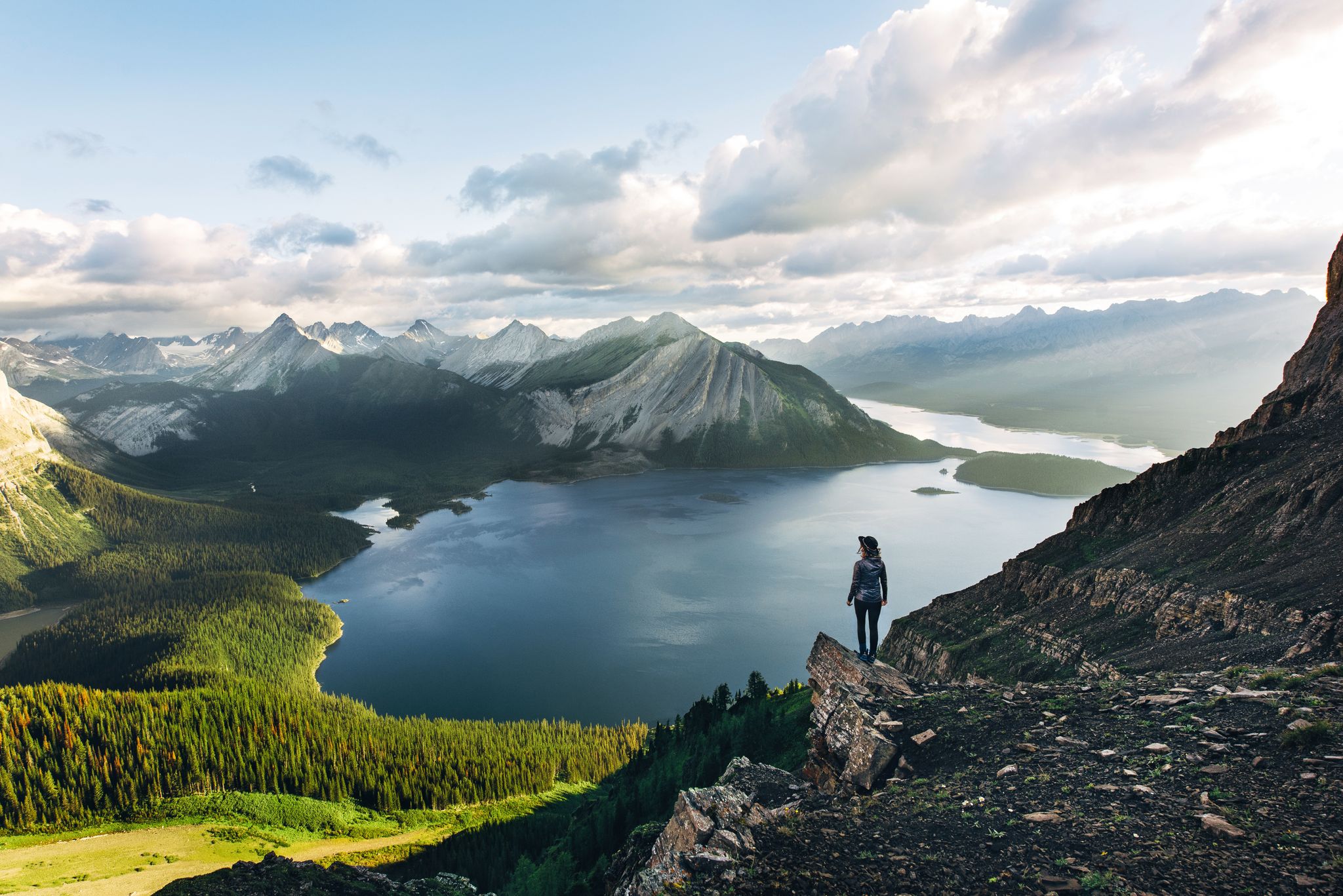
Long-distance hiking in Canada – between mountains and coast
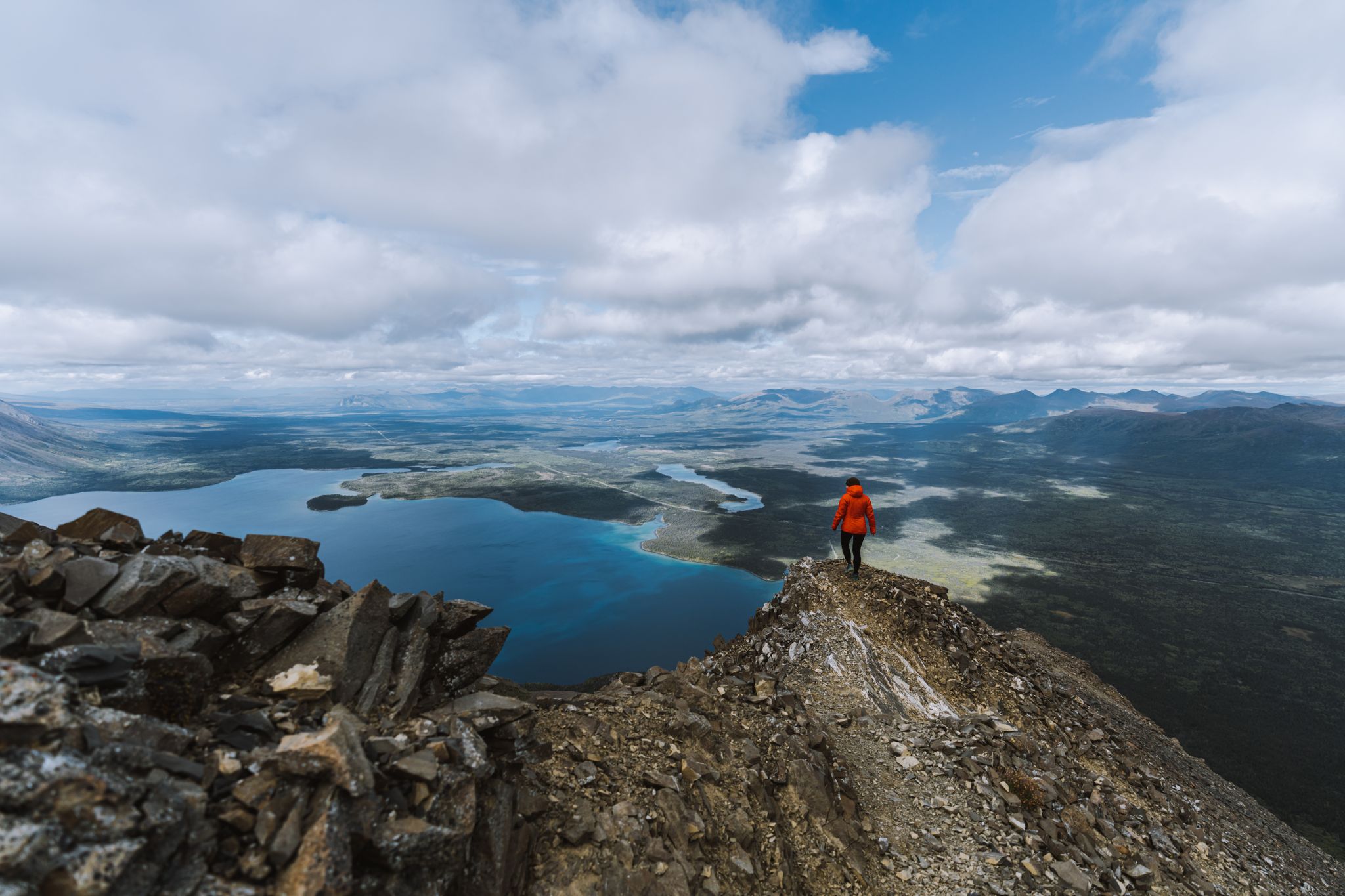
The Yukon, larger than life – hiking in the Canadian Great North

Canada by train – scenic hikes from Western stations
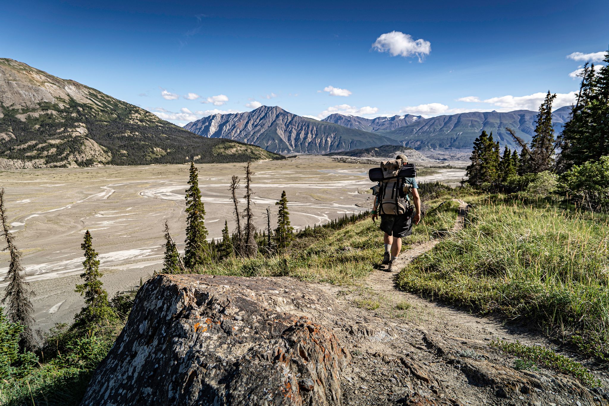
Adventure Yukon – stunning hikes on your road trip

Pacific charm and peak happiness in British Columbia
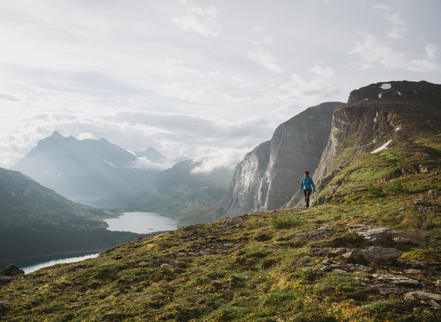
The Great Wilderness – hiking in the vastness of British Columbia
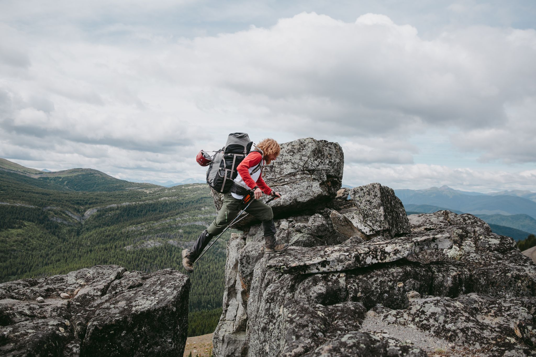
The Great Wilderness – a multi-day route across British Columbia
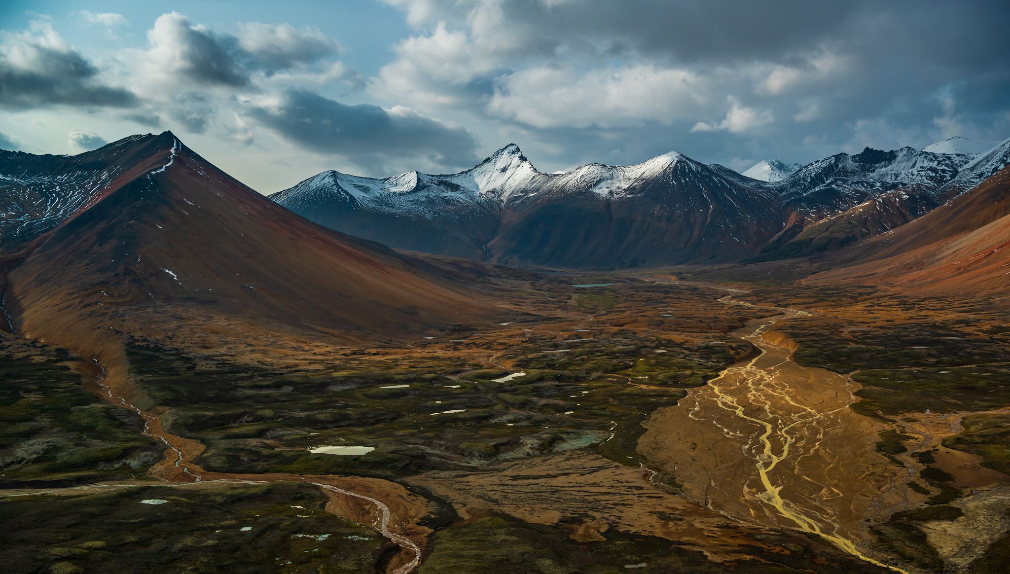
The Great Wilderness – hiking adventures in vast British Columbia

Forests, desert, wilderness - day tours in British Columbia

Other adventures in the Coast Mountains

The Chilkoot Trail — Gold Rush history among soaring mountains

Hiking Collection by

Lisa

Tips from the Community

Beyond the Horizon
October 31, 2024, Mendenhall Glacier Visitor Center

The Mendenhall Glacier Visitor Center near Juneau brings you up close to the rugged beauty of Alaska. Here you can not only admire the impressive glacier and the turquoise glacial water, but also gain exciting insights into the geology and ecosystem of this region. The center itself offers exhibitions that illustrate the history and development of the glacier and a fascinating view of the retreating ice. The area around the center is criss-crossed by easily accessible trails such as the Photo Point Trail and the popular Nugget Falls Trail, which takes you to the roaring Nugget Falls. For nature lovers, the Steep Creek Trail is a highlight - especially during salmon season, when bears gather at the stream. From elevated walkways you can observe the animals without disturbing their peace. In winter, a completely different scene awaits you, when nature freezes in silent beauty. Take the time to explore the short Trail of Time, which tells the history of the glacier on information boards and lets you delve deep into the formation of this unique landscape. The Mendenhall Glacier Visitor Center is more than just a visitor center - it is an experience that shows you the power and fragility of nature first hand.

Translated by Google

0

0

Good spot for camping toilet and barbecue place available

0

0

Lisa
October 23, 2023, Perseverance Lake

The idyllic shores of Perseverance Lake are a popular destination, especially on weekends. When the weather is warm enough, swimmers — both human and canine — may even take a dip off the "swimmer's rock."

1

0

Lisa
October 23, 2023, Ebner Falls

You can probably guess how Gold Creek got its name. But the history behind Ebner Falls — this picturesque waterfall in Gold Creek, which you can see from an overlook on the trail — is a little more obscure. It may have been named for one of the early miners in this area. You'll also find one of the more precarious sections of trail here, as it narrows to a footpath to skirt around a cliff.

1

0

Although the trail to this point is well-defined, it may take some hunting to locate the best descent to Sturgill's Landing and the ocean beyond. Heads up: This area is rocky, and can be slippery when wet!

2

0

This intersection is the juncture of three trails: To the south is Lower Dewey Lake (and some distance beyond it, Sturgill's Landing). To the northeast, the trail continues to Upper Dewey Lake/Devil's Punchbowl, and Icy Lake/Upper Reid Falls.

2

0

This trailhead offers access to both Lower and Upper Dewey Lakes.

3

0

Lisa
June 5, 2023, Battery Point

Hiking through the near-shore woods brings you to Battery Point, an idyllic, rocky beach fringed with tall grass, driftwood and wildflowers. Although Battery Point is a fine, easy destination in and of itself, you can also use this as an access route for a more challenging hike up nearby Mount Riley.

2

0

Frequently Asked Questions

How many easy hiking trails are available in the Coast Mountains?

The Coast Mountains offer a wide selection of easy hiking trails, with over 400 routes specifically categorized as easy. These trails traverse diverse landscapes, from coastal forests to lake loops, providing accessible options for various preferences.

What are some family-friendly easy hikes in the Coast Mountains?

For families, the Ward Lake Nature Trail is an excellent choice, offering a gentle 1.9-mile path around Ward Lake. Another great option is the Trail of Time, a short 1.4-mile route that's engaging for all ages.

Are there any easy loop trails in the Coast Mountains?

Yes, you can find several easy loop trails. The Ward Creek and Pipeline Trail Loop is a 4.3-mile route that offers a pleasant circular walk. Another popular option is the Lower Dewey Lake Loop, a 2.1-mile trail with scenic lake views.

Which easy trails offer views of waterfalls or canyons?

While specific easy trails might not lead directly to the base of the largest waterfalls, the region is known for spectacular features like Brandywine Falls and Shannon Falls. You can find easy trails in areas that provide access to viewpoints or nearby attractions. For canyons, consider exploring areas around Lynn Canyon or Othello Tunnels, which often have accessible paths nearby.

Are there dog-friendly easy hikes in the Coast Mountains?

Many easy trails in the Coast Mountains are dog-friendly, but it's always best to check local regulations for specific routes. Generally, trails like the Perseverance Lake Trail, which leads through forested areas, are popular choices for hikers with dogs, provided they are kept on a leash.

What kind of scenery can I expect on easy hikes in the Coast Mountains?

Easy hikes in the Coast Mountains offer a diverse range of scenery. You can expect to find trails leading through lush coastal forests, alongside tranquil lakes, and paths that open up to views of towering mountains and even ocean vistas. The region's unique blend of alpine and coastal environments ensures varied and breathtaking natural beauty.

What do other hikers say about the easy trails in the Coast Mountains?

The easy trails in the Coast Mountains are highly regarded by the komoot community, with an average rating of 4.6 stars from over 3,200 reviews. Hikers often praise the well-maintained paths, the stunning natural beauty, and the accessibility of these routes for all skill levels. Many appreciate the tranquil settings and the opportunity to experience the region's dramatic landscapes without strenuous effort.

Are there any easy trails with good parking access?

Most popular easy trails in the Coast Mountains, especially those near towns or established parks, typically offer designated parking areas. For example, trails like the Boy Scout Camp Trail and the Ketchikan Salmon Walk are generally well-serviced with parking facilities, making them convenient starting points for your hike.

What are some short-duration easy hikes for a quick outing?

For a quick outing, the Ward Lake Nature Trail is ideal, taking approximately 47 minutes to complete its 1.9 miles. Another short and pleasant option is the Trail of Time, which is about 1.4 miles long and can be finished in under an hour.

Can I find easy trails that offer coastal views?

Absolutely. Given the Coast Mountains' proximity to the Pacific Ocean, many trails offer stunning coastal views. The Point Bridget Trail is a prime example, leading through coastal forest and providing expansive views of the water, making it a popular choice for those seeking ocean vistas.

What are some interesting natural monuments or landmarks to see on easy hikes?

Beyond the trails themselves, the Coast Mountains are rich in natural monuments. You can explore areas near Lynn Canyon for dramatic gorges or visit Brandywine Falls. While not directly on an easy hike, the region also features prominent peaks like Grouse Mountain, which offer accessible ways to enjoy mountain scenery.

Are there easy trails suitable for beginners or those new to hiking?

Yes, the Coast Mountains are an excellent region for beginners. Trails like the Ward Lake Nature Trail and the Sturgill's Landing Trail are specifically categorized as easy, featuring minimal elevation gain and well-defined paths, making them perfect for those just starting out.

Most popular routes in the Coast Mountains

Family-friendly hikes in the Coast Mountains

Most popular attractions in the Coast Mountains

Places to see

Store rating

Get inspired with the komoot mobile app

With a free komoot account, you can easily find, customize, and navigate endless outdoor adventures.

or

Join komoot Now

Store rating

Explore more

Browse the best Hikes in other regions.

Rocky MountainsSelkirk MountainsMonashee MountainsAlberni-ClayoquotVancouver IslandElectoral Area ABurnabyMetro Vancouver Regional ParksArea A (Baynes Sound)VancouverFraser Islands Regional Park ReservePitt LakeSurreyNanaimoArea D (Elaho/Garibaldi)Pitt MeadowsAbbotsfordTynehead Regional ParkSurrey Bend Regional ParkCoquitlam WatershedArea C (Pemberton Valley/Mount Currie/D'Arcy)Fraser River Delta -- RamsarBuntzen Lake Recreation AreaArea P (Rivers and the Peaks)Purcell MountainsColony Farm Regional ParkTəmtəmíxʷtən/Belcarra Regional ParkSaanichArea G (Deroche/Dewdney/Sumas Mountain)Eagle Mountain Recreation SiteCypress Provincial ParkArea A (Kicking Horse/Kinbasket Lake)Kanaka Creek Regional ParkArea D (Oyster Bay/Buttle Lake)Central Okanagan JMaple RidgeArea B (Shelter Bay/Mica Creek)Area G (Forster Creek/Mount Assiniboine)East Central Okanagan Electoral AreaOkanagan Mountain Provincial ParkShowh Lakes-Ancient Cedars Trail Recreation SiteLangleyArea F (McConnell Creek/Hatzic Prairie)Pinecone Burke Provincial ParkSunshine Coast Regional DistrictCowichan Valley GCariboo MountainsUpper Trent River WoodlandsArea J (Copper Desert Country)Minnekhada Regional ParkArea L (Grasslands)Beaver Lodge Forest LandsBurns Bog Ecological Conservancy AreaPacific Rim National Park Reserve - Long Beach UnitOkanagan LakeBrackendale Eagles Provincial ParkArea C (Blind Bay/Sorrento)Area A (Wells Gray Country)Macmillan Provincial ParkLittle Qualicum Falls Provincial ParkShuswap LakeSumas Mountain Regional ParkArea F (Grindrod/Ashton Creek/Mabel Lake)Golden Ears Provincial ParkSea To Sea Regional ParkWoodley Range Ecological ReserveArea B (South Fraser Canyon/Sunshine Valley)Area F (Columbia Lake/Windermere Lake)Kootenay National ParkCrown Land ReserveNorth Cowichan Municipal Forest ReserveUpper Little Qualicum River WoodlandsNorth Okanagan BTantalus Provincial ParkNorth CowichanBlackcomb Glacier Provincial ParkKennedy Lake Provincial ParkGoldstream Provincial ParkHelliwell Provincial ParkBurnaby Mountain Conservation AreaBurnaby Lake Regional ParkBeaufort East WoodlandsArea H (Lighthouse Country)Victoria Harbour Migratory Bird SanctuaryMount Seymour Provincial ParkArea D (Falkland/Silver Creek)Campbell Valley Regional ParkArea A (Kyuquot/Nootka/Sayward)Area C (Chilako River/Nechako)K'Ómoks Royston LandsRobert'S Lake Regional ParkStave West Forest & Recreation AreaBlue Mountain Recreation SiteMount Revelstoke National ParkIona Beach Regional ParkArea B (Shawnigan Lake)Area D (Trinity/West Creighton)Area C (Moyie/Bull River)Wells Gray Provincial ParkArea F (Alberni Highway)Capital GStephens Coyote Ridge Regional ParkElk Falls Provincial ParkCowichan Valley FArea C (Puntledge/Black Creek)Area B (Discovery Islands/Mainland Inlets)Thwaytes Landing Regional ParkYoho National ParkCapilano River Regional ParkBoyle Point Provincial ParkAlouette LakeOkanagan-Similkameen DȽáu,Welṉew̱/John Dean Provincial ParkJuan De Fuca Provincial ParkArea E (Chilliwack River Valley)Area H (Robson Valley/Canoe)Stawamus Chief Provincial ParkKalamalka Lake Provincial ParkDeltaDawley Passage Provincial ParkNanaimo GGlen Valley Regional ParkArea C (Sasquatch Country)SpallumcheenTsable Lakes WoodlandsUbc Malcolm Knapp Research ForestAyum Creek Regional Park ReserveVictoriaArea H (Manning Park/Tulameen/Siwash)Brandywine Falls Provincial ParkAlberni Beaufort Range WoodlandsBowen Island Ecological ReserveCrippen Regional ParkUpper Qualicum River WoodlandsCapilano WatershedArea E (Naramata/Greyback)Stanley Park National Historic SiteLynn Headwaters Regional ParkEpper Passage Provincial ParkCentral SaanichPacific Spirit Regional ParkSooke Mountain Provincial ParkPacific Rim National Park Reserve - West Coast Trail UnitBear Creek Provincial ParkComox Valley B (Lazo North)Telemark Cross-Country Ski Trails Recreation SiteWhistler Interpretive ForestVedder Mountain Interpretative ForestArea B (Lake Koocanusa)Upper Puntledge River WoodlandsCodd Wetland Ecological Conservancy AreaThacker Regional ParkMount Geoffrey Escarpment Provincial ParkStamp River Provincial ParkMt. Macpherson Cross-Country Trails Recreation SiteArea E (Saint Mary/Skookumchuck)Sooke Hills Wilderness Regional ParkStave LakeArea F (Trout Creek Valley)North SaanichCultus Lake Provincial ParkMount Terry Fox Provincial ParkLiumchen Ecological ReserveGrouse Mountain Regional ParkLower Seymour Conservation ReserveArea F (Scotch Creek/Seymour Arm)Area A (Salmon River/Lakes)Alice Lake Provincial ParkGowlland Tod Provincial ParkMount Robson Provincial ParkBlaney Bog Regional Park ReserveGaribaldi Provincial ParkRathtrevor Beach Provincial ParkMount Gardner Recreation SiteArea C (Arrowsmith-Benson)Mt Begbie Area Recreation SiteStrathcona Provincial ParkVargas Island Provincial ParkMyra-Bellevue Provincial ParkArea H (Canim Lake/Forest Grove)Cougar Canyon Ecological ReserveHazelton MountainsArea B (Lower Columbia/Old Glory)Fraser Valley DColumbia National Wildlife AreaCampbell LakeCallaghan ConservancyArea E (Eagle River Valley)RichmondMount Arrowsmith Regional Park (Acrd)Alberni - Ash River WoodlandsAlberni - Great Central Lake WoodlandsArea J (Lower Arrow/Columbia)Area F (Willow River/Upper Fraser)Area E (Balfour/Cottonwood Lake)Mount Maxwell Ecological ReserveDeas Island Regional ParkMain Lake Provincial ParkSeal Bay Regional Nature ParkArea D (Tabor Lake/Stone Creek)Brohm Lake Day Use Recreation SiteBrohm Lake Interpretive Forest TrailsFintry Provincial ParkSeymour WatershedMill Farm Regional Park ReserveMount Tuam Ecological ReserveMount Arrowsmith Massif Regional Park (Rdn)Area A (Upper Flathead/Elk Valley)Nanaimo EE.C. Manning Provincial ParkMount Fernie Provincial ParkBoundary Bay Regional ParkArea A (North Skeena)Read Island Provincial ParkBurgoyne Bay Provincial ParkMount Maxwell Provincial ParkOak Bay Islands Ecological ReserveHarrison LakeWilliams Beach ForestMount Begbie Recreation SiteSalt Spring Island Electoral AreaWidgeon Marsh Regional Park ReserveArea C (Hyde Creek/Benson Valley)English Lake Provincial ParkMount Assiniboine Provincial ParkHillkeep Regional ParkSatellite Channel Ecological ReserveMount Richardson Provincial ParkRuckle Provincial ParkStebbings Road Community ForestRace Rocks Ecological ReserveHeight Of The Rockies Provincial ParkArea A (Malaspina/Toba)Alaksen National Wildlife AreaGeorge C. Reifel Migratory Bird SanctuarySasquatch Provincial ParkWest Arm Provincial ParkSkeena MountainsArea G (Salmo Valley)Skaha Bluffs Provincial Park

Nearby adventure guides

Things to Do around Area A (North Skeena)

background

Get ready to conquer new peaks

Sign up for Free

Explore
RoutesRoute plannerFeaturesHikesMTB TrailsRoad cycling routesBikepackingSitemap
Download the app
Follow Us on Socials

© komoot GmbH

Privacy Policy