Routes

Planner

Features

Updates

App

Login or Signup

Get the App

Login or Signup

Routes
Hikes
United Kingdom
Wales

Cambrian Mountains

Easy hikes and walks in the Cambrian Mountains

4.5

(29004)

259,763

hikers

5,305

hikes

Easy hiking trails in the Cambrian Mountains traverse a landscape characterized by expansive moorlands, tranquil river valleys, and rolling hills. The region features crystal-clear waters in its many rivers, lakes, reservoirs, and waterfalls. Hikers will encounter diverse environments, from enchanting woods to vast open moorlands, providing a sense of solitude. The terrain generally consists of well-established paths suitable for various abilities, with over 1,800 easy routes available.

Best easy hiking trails in the Cambrian Mountains

  • The most popular easy hiking route is Ystradfellte Four Waterfalls Walk from Cwm Porth, a 4.5 miles (7.3 km) trail that takes about 2 hours to complete. This route features multiple waterfalls and lush forest scenery.
  • Another top favourite among local hikers is Llyn Idwal loop from Ogwen Cottage, an easy 3.0 miles (4.8 km) path. This trail offers views of the glacial lake Llyn Idwal and surrounding mountain peaks.
  • Local hikers also love the The Precipice Walk & Llyn Cynwch loop, a 3.5 miles (5.7 km) trail leading through elevated paths with panoramic views, often completed in about 1 hour 30 minutes.
  • Hiking in the Cambrian Mountains is defined by rolling hills, river valleys, and extensive moorlands. The network offers options for different ability levels, with many easy hiking trails suitable for beginners.
  • The routes in Cambrian Mountains are highly rated by the komoot community with an average score of 4.5 stars from more than 26,000 reviews. More than 240,000 hikers have used komoot to explore Cambrian Mountains's varied terrain.

Last updated: July 7, 2026

4.7

(406)

3,101

hikers

#1.

Ystradfellte Four Waterfalls Walk from Cwm Porth —Bannau Brycheiniog / Brecon Beacons National Park

7.25km

02:00

120m

120m

Embark on the Ystradfellte Four Waterfalls Walk from Cwm Porth, an easy 4.5-mile (7.3 km) hike through the Bannau Brycheiniog / Brecon Beacons National Park. This route, which takes around 1 hour and 59 minutes to complete, guides you through ancient woodlands, rolling fields, and serene riverside paths, offering 394 feet (120 metres) of elevation gain. You will discover four impressive waterfalls, including the iconic Sgwd yr Eira, where you can walk behind the curtain of water. Expect diverse terrain with some muddy and rocky sections, especially near the waterfalls, which add to the adventure.

To begin your journey, head to the Cwm Porth car park, a popular starting point that often provides facilities like toilets. It is wise to arrive early, particularly during peak seasons, as parking spaces can fill up quickly. While the overall trail is rated easy, be prepared for some steep descents and ascents on uneven steps when approaching the waterfalls directly. Sturdy, grippy walking boots are highly recommended for navigating these sections safely, especially after rain.

This trail is a highlight of "Waterfall Country," an area known for having one of the highest concentrations of waterfalls in Wales. Beyond the four main cascades, you will encounter lush woodlands, hidden plunge pools, and smaller cascades, creating a tranquil atmosphere. For the adventurous, there are opportunities for wild swimming in some of the plunge pools along the route, adding a unique element to your hiking experience.

Navigate with device

Send to Phone

Save

Easy

Embark on the Llyn Idwal loop from Ogwen Cottage, an easy 3.0-mile (4.8 km) hike that takes about 1 hour and 32 minutes to complete, with an elevation gain of 658 feet (201 metres). You will experience a dramatic glacial landscape with rugged, rocky terrain and uneven paths. The trail offers spectacular views of the crystal-clear Llyn Idwal, nestled within Cwm Idwal, and is framed by towering peaks like Tryfan and Glyder Fawr. Keep an eye out for the prominent Idwal Slabs, popular with rock climbers, and cascading streams along the way.

Starting from Ogwen Cottage, this route is generally accessible for most fitness levels, providing a mountain experience without excessive physical effort. However, some sections are moderately strenuous with steep, rough mountain paths, especially as you gain height towards the southern end of the lake. Due to the stony and sometimes boggy ground, sturdy hiking boots are essential for sure-footedness, particularly after rain. The path is not suitable for wheelchairs or pushchairs.

This area is home to Cwm Idwal National Nature Reserve, Wales' first, renowned for its impressive ice-sculpted landscape and unique plant life. The crater-like Cwm Idwal is a result of significant geological activity, making it one of the best places to observe glacial aftermath in the National Park; Charles Darwin even conducted scientific work here. You can also see iconic features like the

Easy
guide_signup
Let us show you the way with the komoot mobile app
With a free komoot account, you can easily find, customize, and navigate endless outdoor adventures.

Sign up for free

Embark on an easy 2.6-mile (4.2 km) hike around Llyn Idwal, a crystal-clear lake nestled within the dramatic glacial landscape of Eryri (Snowdonia) National Park. This loop, which you can complete in about 1 hour and 11 minutes with an elevation gain of 312 feet (95 metres), offers breathtaking views of ice-sculpted Cwm Idwal and towering peaks like Tryfan. While the path is generally stony and clear, be prepared for sections that can be rugged, rocky, or slippery, especially as you pass under Devil's Kitchen, an area known for its huge boulders.

Starting from Ogwen Cottage, the trail is easily accessible, making it suitable for most skill levels. The cottage itself provides convenient amenities, including a car park, information, and refreshments, ensuring a smooth start and finish to your adventure. Although the loop itself avoids significant climbing, some sections leading up to the lake involve steeper, rough mountain paths, so wear appropriate footwear and be ready for varied terrain.

This trail offers a unique opportunity to experience a dramatic mountainous environment without excessive physical effort. Cwm Idwal holds the distinction of being Wales' oldest National Nature Reserve, showcasing a unique ice-sculpted valley and world-famous rock formations like the Idwal Slabs. The combination of the serene Llyn Idwal and the imposing surrounding peaks makes this a distinctive and memorable walk within the national park.

Easy

Embark on an easy 3.2-mile (5.1 km) hike around Sugar Loaf from Llanwenarth car park, a journey that takes approximately 1 hour and 39 minutes and involves a total elevation gain of 725 feet (221 metres). The trail begins on an unmetalled stony track before transitioning to wide grassy paths through bracken, where you'll often spot sheep. As you ascend towards the summit, the path becomes steeper and rockier, leading you to the distinctive conical peak of Sugar Loaf. From this vantage point, you'll be rewarded with spectacular 360-degree views across the Bannau Brycheiniog (Brecon Beacons) National Park, including the Black Mountains and the Usk Valley. While generally easy, the summit approach can be strenuous, so be prepared for some uphill effort.

This route starts conveniently from a free National Trust car park on Mynydd Llanwenarth, making it easily accessible from Abergavenny. The paths are generally accessible with no gates or stiles, though the uneven ground means it is not suitable for wheelchairs or scooters. Given its beauty and accessibility, the trail can be quite popular, especially on Sunday afternoons, so plan your visit accordingly if you prefer a quieter experience. Always wear appropriate clothing and footwear, as paths can be slippery, especially in wet weather.

Sugar Loaf, or Y Fal in Welsh, is an iconic and distinctive peak within the Brecon Beacons, recognized for its unique conical shape that stands in wonderful isolation above the rolling Monmouthshire landscape. Though just shy of mountain classification, its 596-meter summit offers some of the best panoramic views in the region. On clear days, you can see as far north as Shropshire and as far south as Somerset, encompassing the flat-topped central Brecon Beacons, the Black Mountains, the Skirrid, and the Blorenge. Keep an eye out for wild horses and various flora, including bracken, along the route.

Easy

Embark on an easy 3.5-mile (5.7 km) loop that takes about 1 hour and 31 minutes, with a gentle elevation gain of 223 feet (68 metres). This hike offers diverse scenery as you pass through deciduous woodland, conifer plantations, and meadows. Enjoy panoramic views down to the Mawddach Estuary and out to the sea, reaching as far as Barmouth, and admire the serene Llyn Cynwch. You will also see sweeping vistas of Snowdonia's principal mountain ranges, including Yr Wyddfa (Snowdon).

Plan your visit to this popular loop near the historic market town of Dolgellau. The trail is on private land belonging to the Nannau Estate, which grants public access, but be aware the route is typically closed one day a year, often on February 1st. While generally easy, the path can be narrow, rocky, and uneven in places, so wear appropriate footwear like boots. Some sections traverse a narrow ridge with steep drops, which might be a concern if you have a fear of heights, but it is suitable for most fit walkers and families with children aged eight and above.

This route, known as the Precipice Walk, has a rich history, originally created in the 19th century by Henry Robertson, a wealthy industrialist. He designed it to showcase the area's beauty to his guests. It is known as a “contour walk” because the path largely follows the 800-foot contour line, meaning there is not excessive climbing or descending throughout most of the route. The trail also offers a tour of the historic Nannau Estate, which dates back to the twelfth century.

Easy

4.8

(43)

226

hikers

4.41km

01:19

150m

150m

Hike the easy 2.7-mile Aber Falls loop in Snowdonia National Park to see the spectacular 120-foot waterfall and scenic valley views.

Easy

4.7

(59)

418

hikers

5.17km

01:40

220m

220m

Hike the easy 3.2-mile Llangollen History Trail for panoramic views of the Dee Valley and the ruins of Castell Dinas Brân.

Easy

Embark on the Skirrid Fawr loop, an easy 3.7-mile (5.9 km) hike in Bannau Brycheiniog National Park that still offers a good workout with 930 feet (283 metres) of elevation gain. You can expect to complete this route in about 1 hour and 59 minutes. The trail winds through peaceful woodlands and open countryside, featuring well-worn paths, gravel tracks, and some stony, loose sections, especially through the woods. From the summit, you'll be rewarded with spectacular 360-degree panoramic views, stretching across Herefordshire, the Black Mountains, the Usk Valley, and even glimpses of the Sugar Loaf mountain.

While the trail is rated easy, be prepared for sharp climbs and descents, including zigzagging paths and wooden steps in steeper areas. Conditions can become very slippery after heavy rain, particularly in winter, so good walking shoes are essential for a safe and enjoyable experience. Always check the weather forecast before you head out, and allow extra time if you plan to pause and enjoy the extensive views from the top.

Known as the "Holy Mountain" or "Sacred Hill," Skirrid Fawr, or Ysgyryd Fawr in Welsh, is steeped in history and folklore. Legends speak of a landslide on its western side at the time of Christ's crucifixion, giving it the name "Great Shattered." At the summit, you can explore the ruins of an Iron Age Hill fort and a Medieval chapel dedicated to St. Michael, adding a rich historical layer to your hike. Its distinctive, isolated shape ensures truly exceptional views in every direction.

Easy

4.6

(57)

279

hikers

Embark on the Carreg Cennen Castle loop, part of The Beacons Way, an easy hike covering 3.9 miles (6.2 km) with an elevation gain of 592 feet (180 metres), typically taking around 1 hour and 51 minutes. This route winds through varied terrain, from good paths and country lanes to rough tracks, offering a captivating blend of history and nature. You will see the dramatic Carreg Cennen Castle perched on its limestone crag, surrounded by a patchwork of wooded valleys, small fields, and hedgerows, with glimpses of the windswept Black Mountain in the distance.

To begin your adventure, head to the car park near the castle, where you will also find a café and shop for refreshments and facilities. The walk from the car park to the castle itself is steep and uneven, so sturdy footwear is highly recommended for your comfort and safety. Dogs on leads are welcome to join you on this scenic route, making it a great option for a day out with your canine companion.

This trail is notable for its rich history, with the castle site showing evidence of prehistoric settlements and its role in past conflicts. The area's diverse ecosystems, influenced by changing rock types, support a variety of flora and fauna; keep an eye out for woodland birds like Nuthatches and even Red Kites soaring overhead. The route also features interesting geological remnants, including pillow mounds and a large lime kiln, adding layers of discovery to your hike.

Easy

4.4

(38)

300

hikers

Hike the Llwyn-on Reservoir loop for expansive views of deep blue waters, framed by the rolling hills of the Brecon Beacons. This easy 3.4-mile (5.5 km) route takes about 1 hour and 26 minutes to complete, with a gentle elevation gain of 129 feet (39 metres). You will pass through tranquil conifer plantations and mixed woodlands, enjoying the fresh smells of the forest and the lapping sounds of the water. Look for quaint footbridges and splendid views as you approach and walk over the dam. The trail features a mix of hard, compacted surfaces, as well as some looser, unpaved sections.

Parking is available near the trailhead, making it easy to start your adventure. For additional amenities, the nearby Garwnant Visitor Centre offers more parking, refreshments, and a cafe, serving as a good alternative starting point. You might also find a cafe or a roadside service van with refreshments along the route itself. This accessible trail is suitable for all skill levels, ensuring a pleasant experience for everyone.

The Llwyn-on Reservoir is the largest of three reservoirs in the Taff Fawr Valleys, built in 1926 following cholera outbreaks in Cardiff. Its clean waters provide a habitat for various birds, including great crested grebes, goldeneye ducks, and coots; keep an eye out for otters too, and use the available bird hides for observation. A section of the Taff Trail runs along the western side of the reservoir, offering connections to other routes, and you can also discover environmental sculptures on the Wern and Willow walks. Despite its local popularity, the area remains an under-visited gem, offering a peaceful hiking experience.

Easy
Sign up for free to see 5,296 more hikes in the Cambrian Mountains.

Get access to more routes and recommendations from other explorers.

Sign up for free

Already have an account?

Our route recommendations are based on thousands of hikes, rides, and runs completed by other people on komoot.

Start today with a free account

Your next adventure awaits.

Login or Signup

Popular around Cambrian Mountains

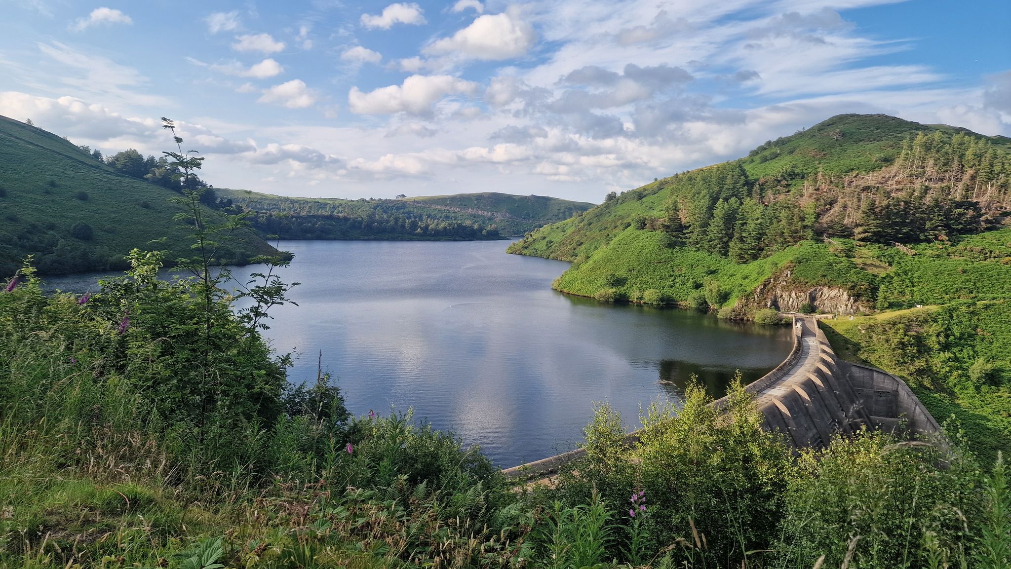
Glyndŵr’s Way – hiking in the footsteps of a Welsh hero
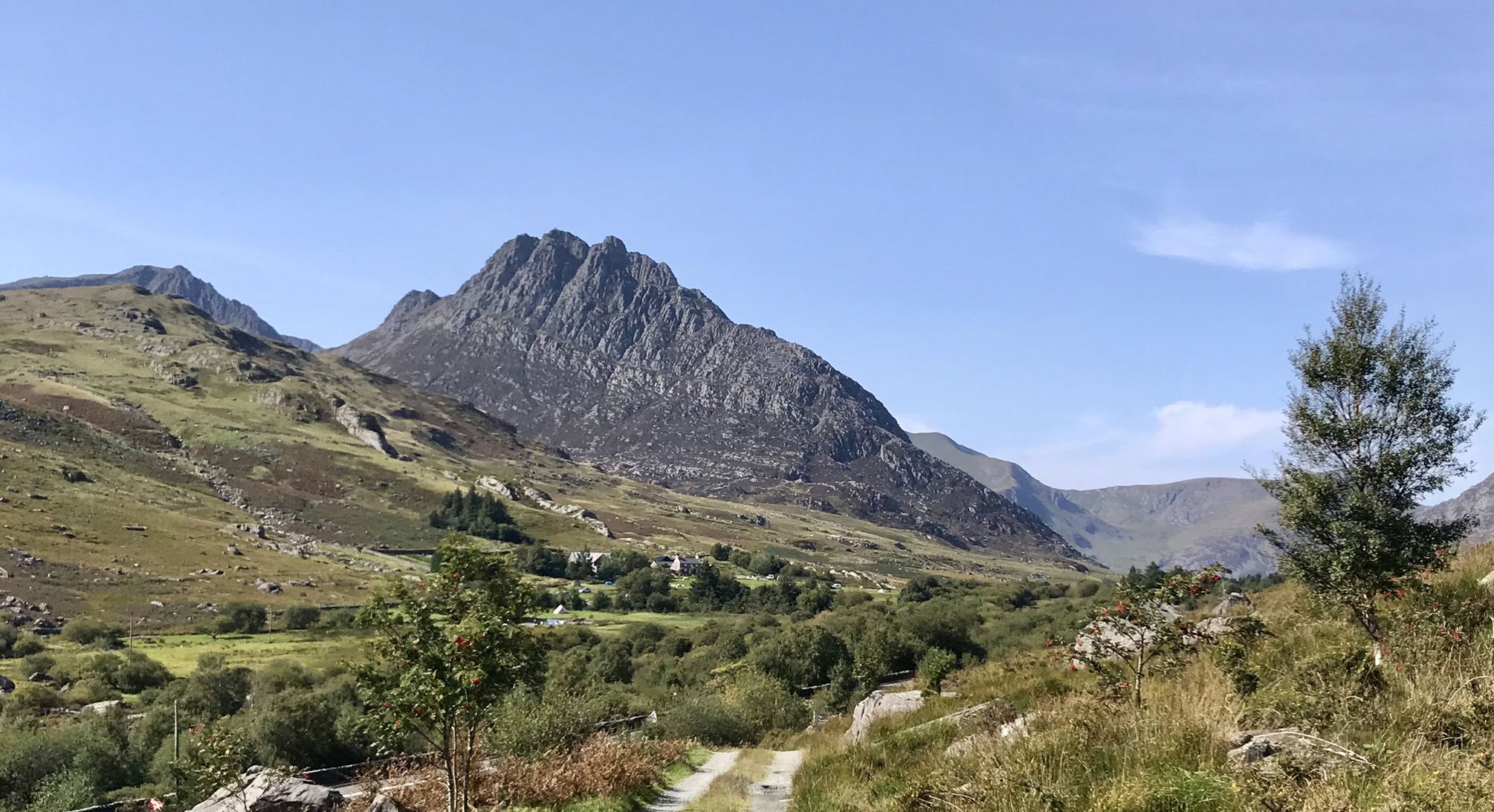
Snowdonia Way – A dramatic hike through Eryri's mountainous heart
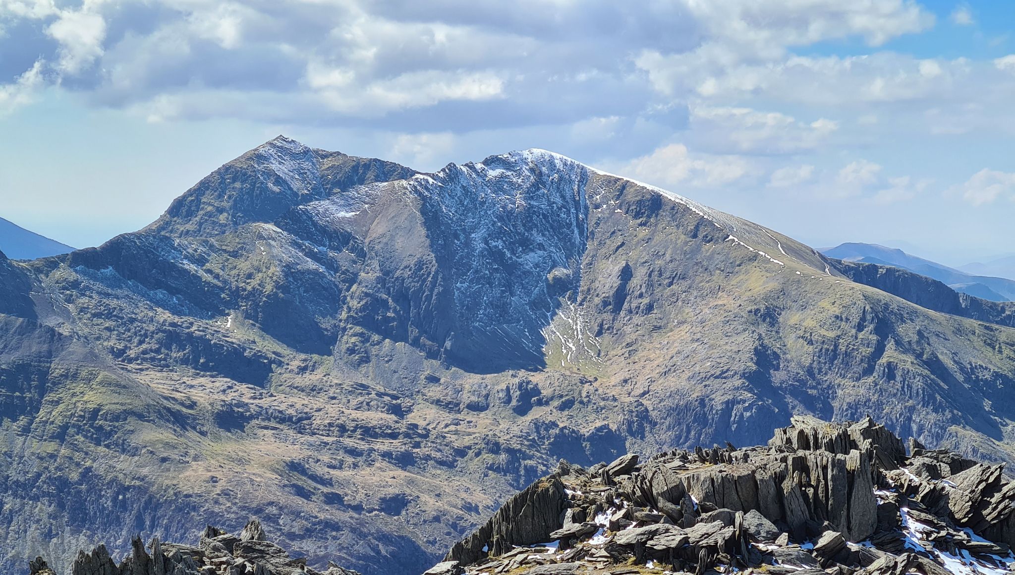
Snowdonia Way Mountain Route – Rise to Eryri's awesome summits
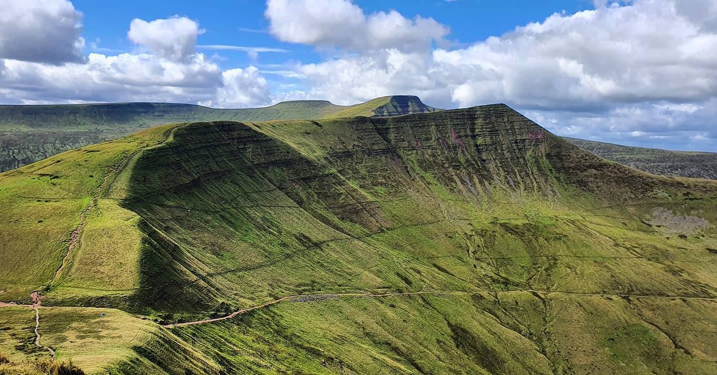
Beacons Way — Hike the high, emerald spine of South Wales

Celtic Way — An epic pilgrimage through prehistory and wild beauty

O Fon i Fynwy — Exploring Wales on foot from top to bottom
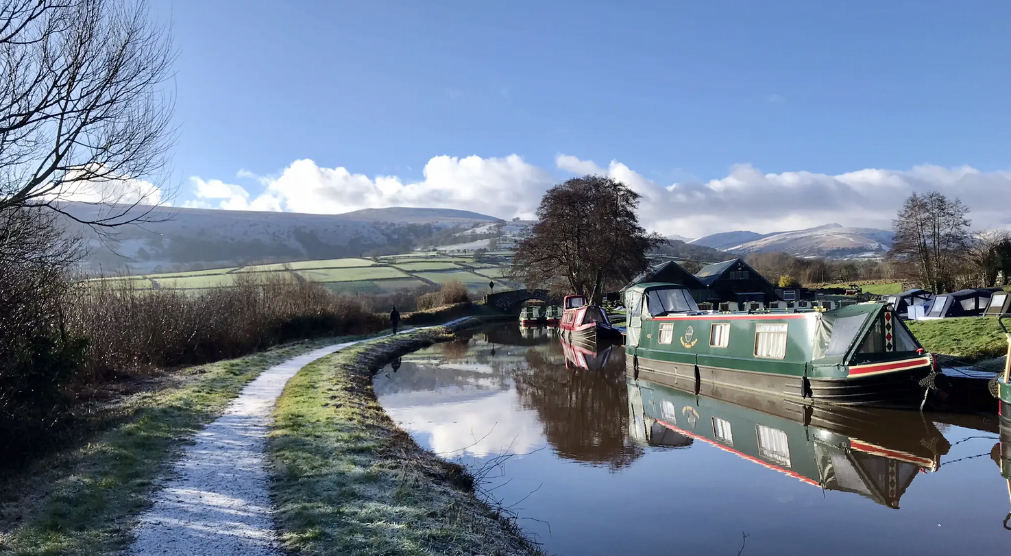
Usk Valley Walk — A river ramble into the Brecon Beacons
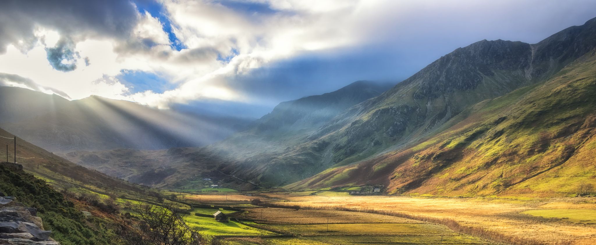
Snowdonia Slate Trail — Unearth one of Wales' most spectacular hikes
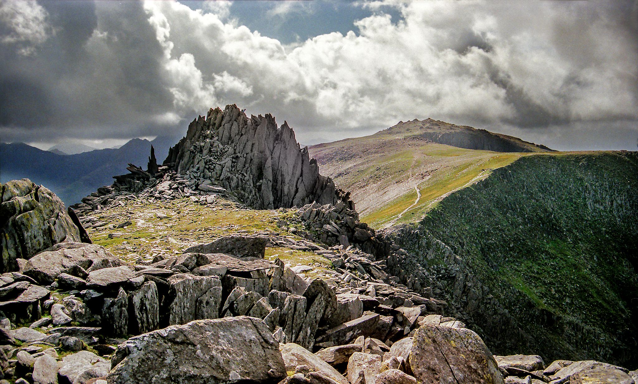
Hiking the Paddy Buckley Round — An epic Snowdonian adventure
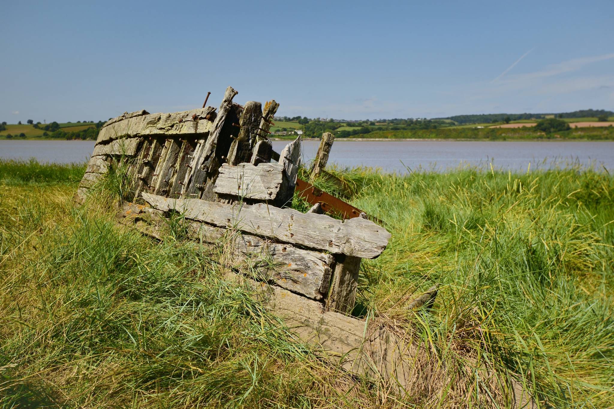
Severn Way — Hike Britain's longest river from source to sea

Other adventures in the Cambrian Mountains

Glyndŵr’s Way – hiking in the footsteps of a Welsh hero

Hiking Collection by

Alex Foxfield

Tips from the Community

Graeme
June 20, 2026, Castell Dinas Brân

Climbed from ‘the back’ according to the locals. There is space for about 5-7 cars to park on this side. Free parking and. No charge for admission.

0

0

Clive G
March 25, 2026, Idwal Gorge

A reminder of when the area was heavily worked, part of the old Slate Level. This is not the Devil's Kitchen, which is high up on Cwm Idwal.

0

0

Fine little hill, Black Mountains outlier. Steepish at first but a straightforward and rewarding outing.

0

0

MCW73
January 9, 2026, View of Llyn Idwal

Llyn Idwal is a stunning glacial lake nestled in the Glyderau mountains of Eryri (Snowdonia), North Wales. Designated as Wales’ first National Nature Reserve, its dramatic landscape was famously studied by Charles Darwin to prove glacial action. Legend says the lake is named after a drowned prince and that birds refuse to fly over its crystal-clear waters.

0

0

MCW73
January 9, 2026, Idwal Gorge

Idwal Gorge is a dramatic, steep-sided ravine located above Llyn Idwal in Eryri (Snowdonia). Known for the Idwal Staircase, it offers a challenging "Grade 2" scramble through mossy, water-worn rock and hidden cascades. In winter, it is a premier destination for ice climbers. Carved by glacial meltwater, this rugged cleft provides a raw encounter with the powerful geological forces that sculpted the iconic Ogwen Valley landscape.

0

0

A fine set of falls, you can get great photos from a number of angles here.

0

0

If this bridge wasn't there, it would be a long way round!

0

0

Clive G
October 31, 2025, Sgwd y Pannwr

The view you are most likely to see is from the top of the falls, to the side. There is a rock shelf that provides a good view for this view. In the summer you will also find people jumping off this shelf into the plunge pool below! There are other views that can be reached down a gully and then along a rough path that takes you to river level.

0

0

Frequently Asked Questions

How many easy hiking trails are available in the Cambrian Mountains?

The Cambrian Mountains offer a vast network of paths, with over 1,800 easy hiking trails to explore. These routes traverse diverse landscapes, from tranquil river valleys to expansive moorlands.

Are there easy hiking trails suitable for families in the Cambrian Mountains?

Yes, the Cambrian Mountains cater to all levels, including gentle family walks. Many trails feature well-established paths through picturesque woodlands and along reservoirs. For example, the Hafod Estate Trails near Devil's Bridge offer a network of walks perfect for families.

Can I bring my dog on easy hikes in the Cambrian Mountains?

Many easy trails in the Cambrian Mountains are dog-friendly, allowing you to enjoy the region's natural beauty with your canine companion. Always keep dogs under control, especially around livestock, and check for any specific restrictions on individual routes or protected areas.

Are there easy trails that feature waterfalls in the Cambrian Mountains?

Absolutely. The Cambrian Mountains are known for their crystal-clear waters and gushing waterfalls. A prime example is the Ystradfellte Four Waterfalls Walk from Cwm Porth, an easy 4.5-mile trail featuring multiple stunning waterfalls and lush forest scenery.

What kind of terrain can I expect on easy hiking trails in the Cambrian Mountains?

Easy hiking trails in the Cambrian Mountains generally consist of well-established paths. You'll encounter a mix of expansive moorlands, tranquil river valleys, and rolling hills. The terrain is suitable for various abilities, offering a sense of solitude amidst diverse environments, from enchanting woods to open moorlands.

Are there any circular easy hikes in the Cambrian Mountains?

Yes, many easy routes in the Cambrian Mountains are circular, allowing you to start and end at the same point. For instance, the Llyn Idwal loop from Ogwen Cottage is an easy 3-mile circular path offering views of the glacial lake and surrounding peaks.

What are some interesting landmarks or attractions I can see along easy hiking trails?

The Cambrian Mountains are rich in natural and historical landmarks. You can explore areas like Devil's Bridge, famous for its unique bridge system and Mynach Falls. The Elan Valley also features picturesque reservoirs and dam walls. For specific highlights, consider visiting Sgwd Uchaf Clun-Gwyn Waterfall or Henrhyd Falls.

What do other hikers enjoy most about hiking in the Cambrian Mountains?

The Cambrian Mountains are highly rated by the komoot community, with an average score of 4.5 stars from over 26,000 reviews. Hikers often praise the region's wild, remote scenery, the sense of solitude, and the diverse landscapes that include moorlands, river valleys, and clear waters.

Are there easy trails with good viewpoints in the Cambrian Mountains?

Many easy trails offer rewarding viewpoints across the Cambrian Mountains' varied landscape. The The Precipice Walk & Llyn Cynwch loop is an excellent example, leading through elevated paths with panoramic vistas that can be completed in about 1 hour 30 minutes.

How long do easy hiking trails typically take to complete in the Cambrian Mountains?

The duration of easy hiking trails varies, but many can be completed within a few hours. For instance, the Ystradfellte Four Waterfalls Walk from Cwm Porth is about 4.5 miles (7.3 km) and takes approximately 2 hours. Shorter options like the Llyn Idwal loop from Ogwen Cottage are around 3 miles (4.8 km) and can be done in less time.

Are there easy trails near reservoirs in the Cambrian Mountains?

Yes, the Cambrian Mountains feature several picturesque reservoirs that offer easy walking opportunities. The Elan Valley, in particular, is known for its beautiful reservoirs and dam walls, providing numerous walking tracks suitable for all abilities. The Llwyn-on Reservoir loop is an easy route that showcases this type of scenery.

What is the best time of year for easy hikes in the Cambrian Mountains?

The Cambrian Mountains are beautiful year-round, but spring and summer offer the most pleasant conditions for easy hikes, with milder weather and vibrant landscapes. Autumn brings stunning foliage, while winter can offer a unique, crisp experience, though some paths may be muddier or require more careful footing.

Most popular routes in the Cambrian Mountains

Hiking in the Cambrian Mountains

Most popular attractions in the Cambrian Mountains

Natural Monuments

Store rating

Get inspired with the komoot mobile app

With a free komoot account, you can easily find, customize, and navigate endless outdoor adventures.

or

Join komoot Now

Store rating

Explore more

Browse the best Hikes in other regions.

South WalesNorth WalesPowys

Nearby adventure guides

Things to Do around Llangurig

background

Get ready to conquer new peaks

Sign up for Free

Explore
RoutesRoute plannerFeaturesHikesMTB TrailsRoad cycling routesBikepackingSitemap
Download the app
Follow Us on Socials

© komoot GmbH

Privacy Policy